Every year, millions of Americans lace up their boots and hit the trails, searching for breathtaking views and fresh mountain air. Most come back with photos, sore muscles, and memories that last a lifetime. Some don’t come back at all. I’m not trying to be dramatic, but the truth is that certain trails in this country claim lives year after year, and many of them look deceptively harmless in the guidebooks. They’re the ones where one wrong step, one weather miscalculation, or one moment of panic can turn a bucket list adventure into a tragedy.
So what makes a hike truly dangerous? It’s not always the ones with the steepest climbs or the highest peaks. Sometimes it’s the heat, the isolation, or the sheer number of people crowding a narrow ridge. Let’s dive into the ten trails that consistently show up on search and rescue reports, where even experienced hikers find themselves pushed to their absolute limits.
Angels Landing, Zion National Park, Utah
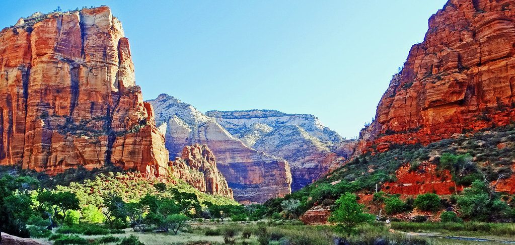
Angels Landing has been responsible for more than 18 fatalities, and honestly, once you see the final section, it’s not hard to understand why. The last half-mile runs along a slick sandstone ridge just a few feet wide, with nothing but open air on both sides. Chains offer something to grip, but they’re not foolproof, especially when hundreds of other hikers are jockeying for position on the same narrow spine.
Here’s the thing that gets people: its popularity is part of the reason why it’s so dangerous, but it’s also due to its deceptively tame start. The first couple miles feel like any other Zion hike, scenic switchbacks through red rock canyons. Then you reach Scout Lookout and suddenly you’re staring at a ridgeline that looks like it was designed to test your fear of heights. The crowds are the real wild card here, turning an already exposed climb into a bottleneck where patience runs thin and mistakes can happen.
Half Dome via Mist Trail, Yosemite National Park, California
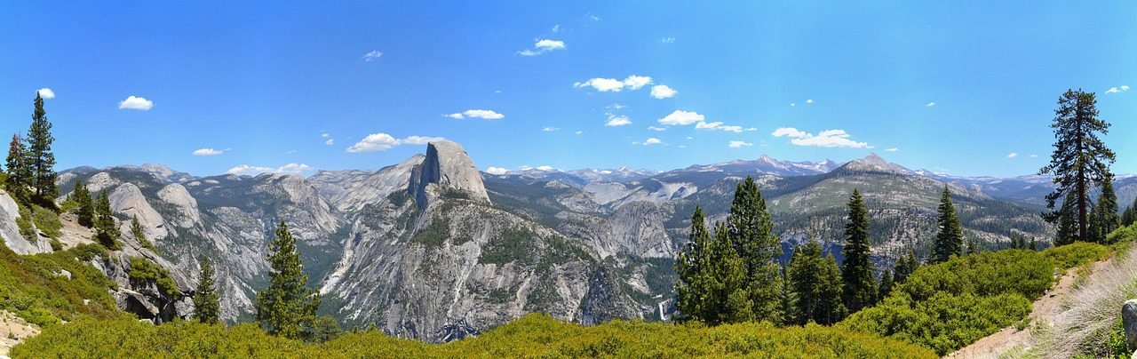
People talk about the cables on Half Dome like they’re the only danger, but the truth is more complicated. The Mist Trail, which you hike en route to Half Dome, may also be one of the most dangerous hikes in the U.S, with over 14 deaths in the last 10 years. The combination of slippery granite stairs, mist from Vernal Fall, and exhausted hikers makes for a recipe that sends dozens to the hospital every year.
The cables themselves are no joke either. You’re hauling yourself up roughly 400 vertical feet on a granite dome that’s steeper than most staircases, with only wooden planks every ten feet or so to rest your legs. The round trip is somewhere between 14 and 16 miles depending on where you start, which means by the time you reach the cables, your legs are already toast. At least 13 deaths have occurred on the hike since 2005, and many happened when the rock got wet, turning it into an ice rink in the sky.
Kalalau Trail, Na Pali Coast, Kauai, Hawaii
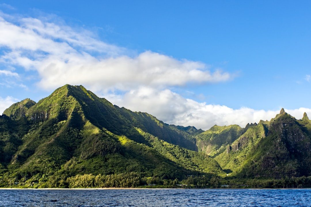
The Kalalau Trail draws hikers with its raw coastal beauty, but its terrain and remoteness make it one of the most dangerous trails in the U.S. This isn’t your typical beach walk. The 11-mile path clings to cliffs that drop hundreds of feet into the Pacific, with sections so narrow that locals have given them names like Crawler’s Ledge. It’s called that for a reason, too. It’s about a 50 foot long ledge, about 18 inches wide, and covered in loose dirt.
The remoteness is what really amplifies the danger here. The only way to set foot on Kalalau Beach is to hike there. Boats and helicopters are not allowed to access the beach. Six stream crossings can turn deadly during flash floods, which can happen with little warning. A norovirus outbreak forced a full trail closure after dozens of hikers fell ill with vomiting and fever back in 2024, proving that sometimes the danger isn’t just the terrain.
Mount Whitney via Mountaineer’s Route, California
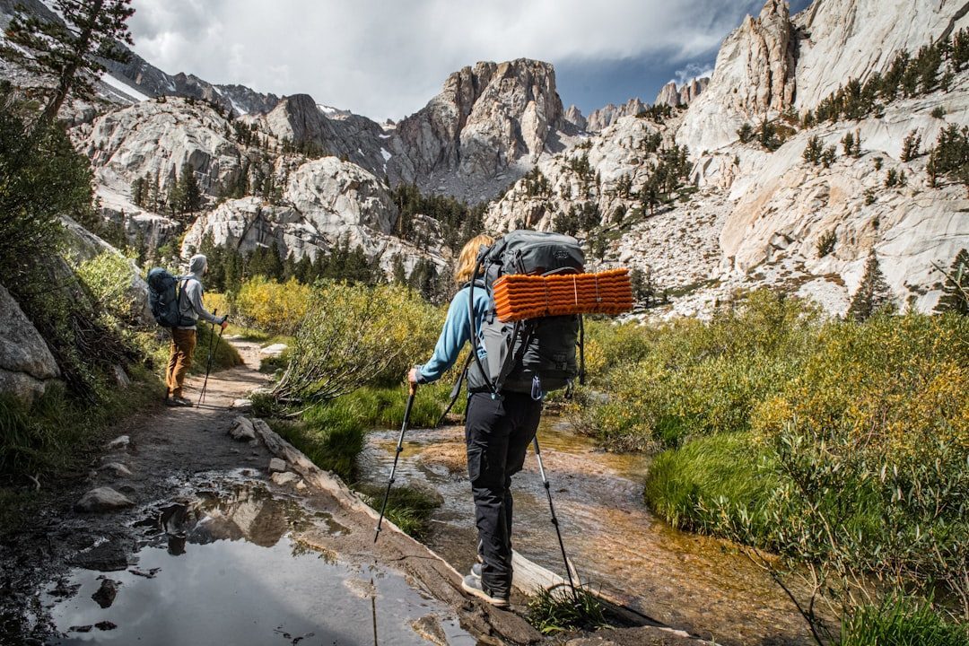
Mount Whitney is the highest peak in the lower 48 states, standing tall at over 14,500 feet. While it’s non-technical in summer, the trail’s 16,000+ annual permit holders still see frequent rescues, and at least six hikers have died over the past decade. The permits are so coveted that people plan their entire summers around the lottery system, but getting one doesn’t mean you’re ready for what’s ahead.
In January 2025, Taylor Rodriguez, 29, was found dead near Upper Boy Scout Lake after a solo winter attempt. He’d gone missing for five days. The altitude is no joke, even for fit hikers. Even fit hikers can be hit with AMS (Acute Mountain Sickness) at 12,000 feet. Headaches, nausea, confusion, these symptoms can creep up fast, and once they do, the only cure is to descend immediately. Add early season snow patches or rockfall, and those final miles become a genuine test of will and luck.
Capitol Peak via Knife Edge, Colorado
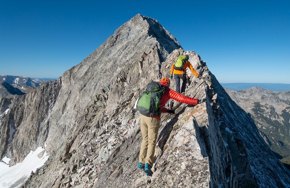
Colorado has 58 peaks over 14,000 feet, but Capitol Peak has earned a reputation as one of the deadliest. In 2017, it claimed five lives in just six weeks. The culprit is a section called the Knife Edge, and the name doesn’t exaggerate. The Knife Edge is a narrow, 150-foot-long rock spine with 1000-foot drop-offs on either side.
Let’s be real, this isn’t a hike, it’s more like a scramble where you’re straddling a rock fin barely wider than your body. There’s loose rock everywhere, which means every step needs to be calculated. The mountain’s infamous Hourglass Couloir challenges hikers to unstable footing and ice in a steep, narrow gully that acts like a bowling lane for rolling rocks. Even experienced climbers have found themselves in over their heads here, and helicopter rescues are a regular occurrence during the summer months.
The Maze, Canyonlands National Park, Utah
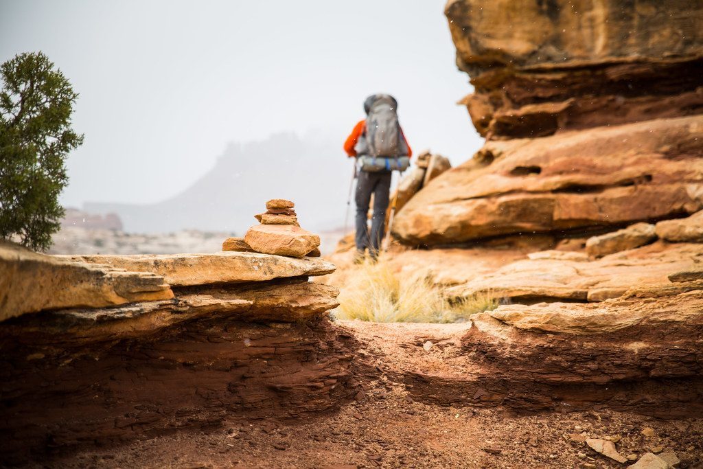
The Maze District isn’t just the most remote and inaccessible section of Canyonlands National Park, it’s one of the most remote areas in the United States. Getting to the trailhead alone can take hours on rough dirt roads that require a high-clearance 4×4. Once you’re there, you’re wandering through a labyrinth of sandstone canyons where every turn looks identical to the last.
This trail weaves through a labyrinth of sandstone canyons and fins that can heat up to more than 110 degrees under the summer sun. It’s extremely easy to get lost in the tangle of red rocks. The heat is relentless, water is scarce, and help is days away if something goes wrong. Interestingly, while thousands of people attempt to hike The Maze each year, it hasn’t seen any fatalities yet. Maybe that’s because most people who venture here are already experienced backcountry navigators, or maybe it’s just luck.
Mount Rainier’s Camp Muir Route, Washington
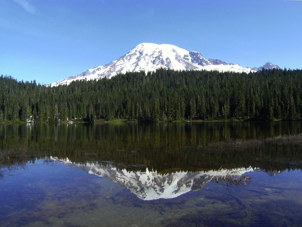
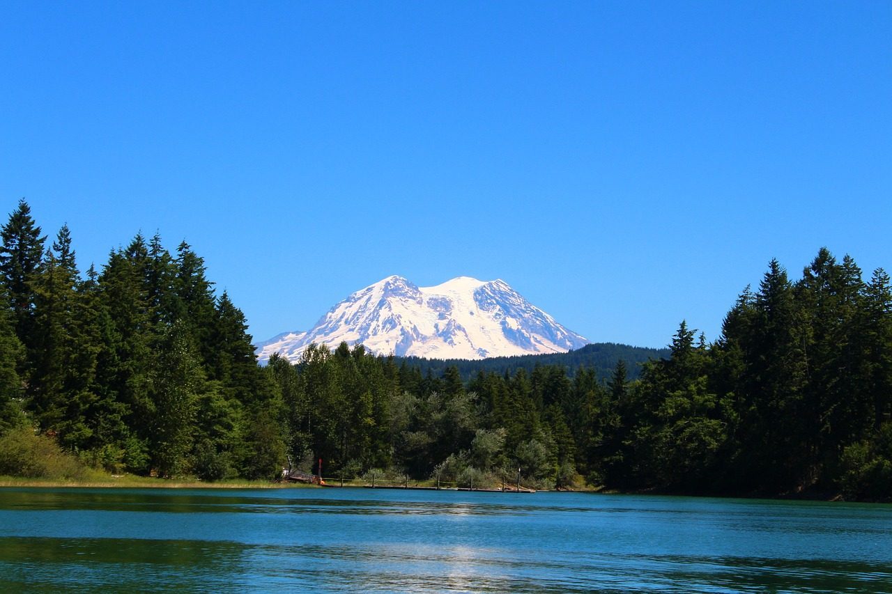
Mount Rainier in Washington State has claimed over 400 deaths. That staggering number makes it arguably the deadliest mountain in America. More than 90 hikers have died on their way up this route, and 294 fatalities have occurred on the mountain overall. The route to Camp Muir might not require technical mountaineering skills in summer, but that doesn’t mean it’s safe.
Mount Rainier features extreme and fast weather changes, avalanches, falling rocks, and an unpredictable volcano. Whiteouts can happen without warning, turning the snowfield into a disorienting maze where even GPS becomes useless. Crevasses hide beneath thin snow bridges, and one wrong step can send you plummeting into an icy tomb. If you’re heading up here without crampons, an ice axe, and experience in snow travel, you’re gambling with your life.
Mount Washington via Tuckerman Ravine, New Hampshire
Don’t let the modest elevation fool you. At just over 6,000 feet, Mount Washington might not sound intimidating, but the highest wind velocity ever recorded at any surface weather station (231 mph) was logged here on April 12, 1934. And nearly 150 fatalities have occurred since 1849. This little mountain has killed more people than many far taller peaks out West.
This mountain has some of the most unpredictable weather in the country, with high winds (the highest ever recorded in the country actually). Having some of the worst weather makes this climb over boulders up to the top a dangerous undertaking. Hikers start in sunshine and 70-degree weather, then reach the summit to find freezing temperatures, hurricane-force winds, and snow. Hypothermia is common even in summer, and the rocky terrain offers no shelter when conditions turn nasty.
Bright Angel Trail, Grand Canyon, Arizona
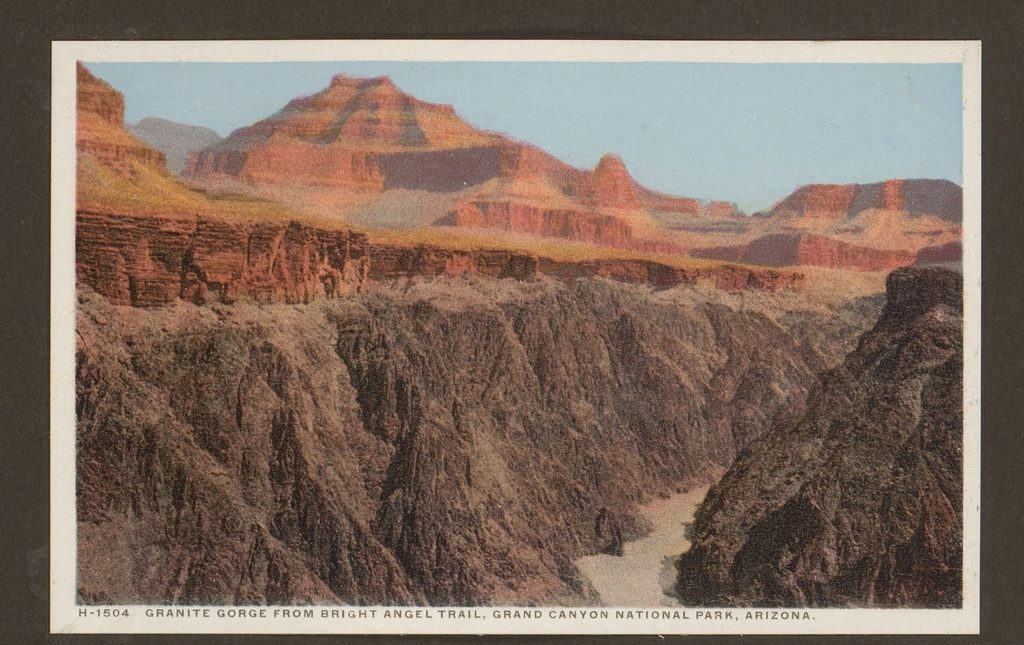
The Grand Canyon sees roughly 200 heat-related rescues every year, and most of them happen on Bright Angel Trail. Canyon temps routinely top 110°F in summer, and that hellish heat, combined with the exertion of climbing 4,380 vertical feet over 9.5 miles, results in about 200 heat-related rescues in the park each year. The problem is that going down feels easy, almost too easy. People underestimate how brutal the climb back up will be.
Here’s what gets people in trouble: they hike down in the morning when it’s cool, feeling great, taking photos, enjoying the canyon views. Then they turn around in the afternoon when the sun is blazing, their water is half gone, and they still have thousands of feet to climb. A member of the Riverside Mountain Rescue Unit told SFGate that, a decade ago, they might have responded to one or two emergency calls in a year. That number has risen to three or five heat-related rescues annually. The canyon doesn’t care how fit you are when it’s 115 degrees and you’re out of water.
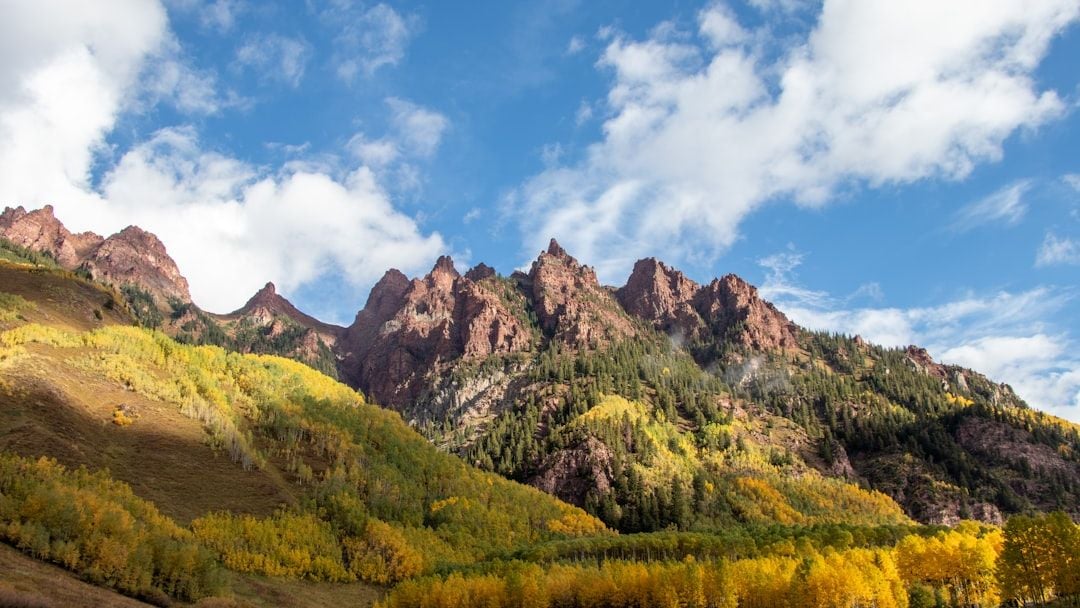
Maroon Bells via Four Pass Loop, Colorado
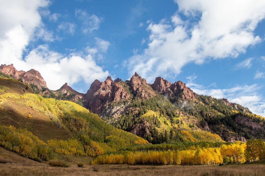
The Maroon Bells are probably the most photographed mountains in Colorado, and they’re stunning. They’re also nicknamed the Deadly Bells, and it’s not hard to see why once you’re up there. All four passes, Buckskin, Trail Rider, Frigid Air, and West Maroon, sit above 12,000 feet, exposing hikers to acute mountain sickness even if they’re fit. Headaches, nausea, and disorientation can come on fast and worsen without descent.
This roughly 28-mile loop crosses four alpine passes, which means you’re gaining and losing thousands of feet multiple times. The weather flips without notice. Sudden summer storms bring hail or sleet, and lightning at elevation is a deadly threat. Recent rescues have required search and rescue teams to hike in for hours, sometimes overnight, to extract stranded hikers who underestimated the loop’s intensity.
Conclusion
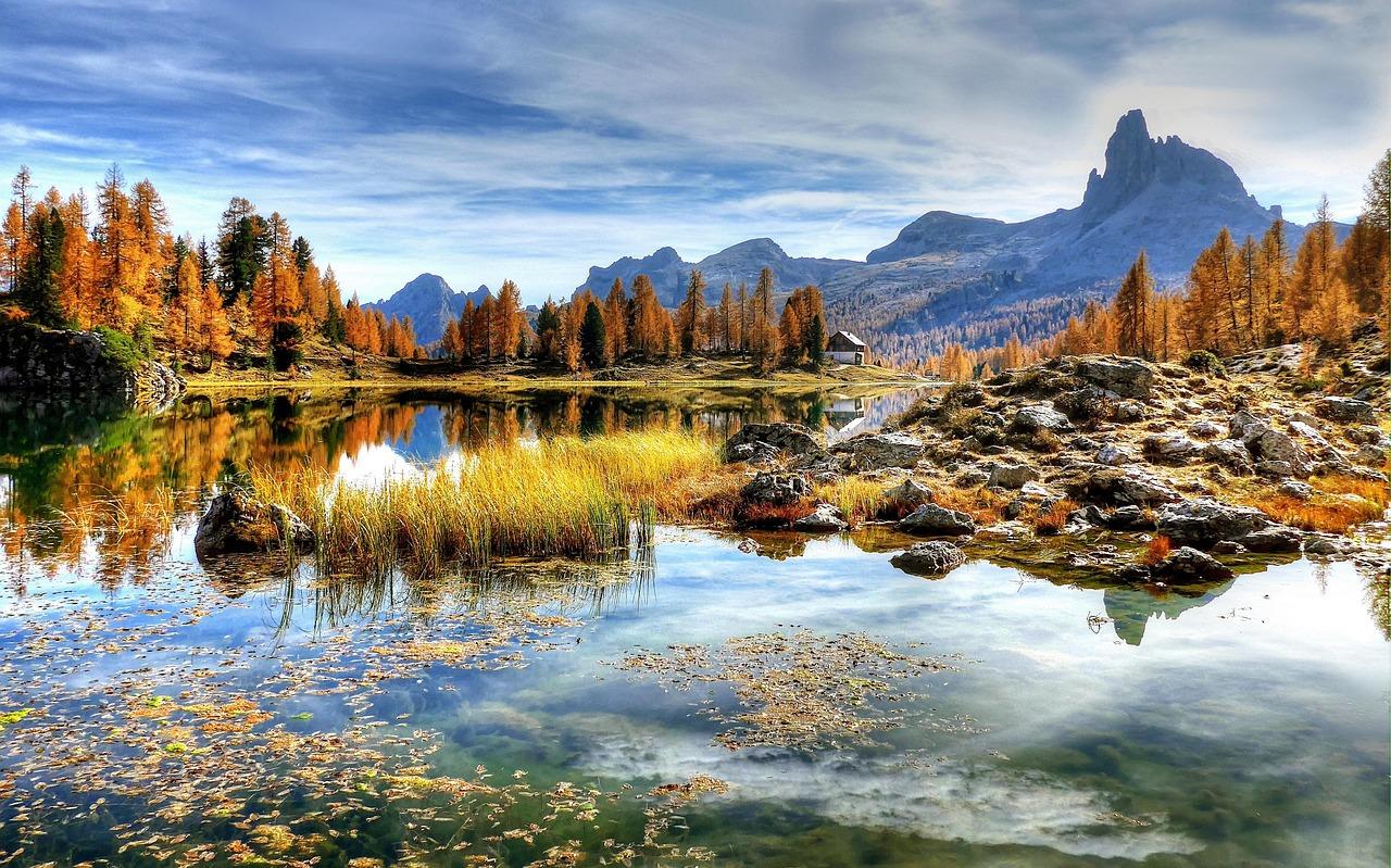
These hikes aren’t trying to kill you, but they demand respect, preparation, and a healthy dose of humility. Every trail on this list has claimed lives, many of them experienced hikers who simply got unlucky or made one bad decision. The views from the top might be incredible, but they’re not worth your life.
If you do decide to tackle one of these trails, go in with your eyes open. Check the weather obsessively. Bring more water than you think you need. Tell someone your plans and when you’ll be back. Most importantly, know when to turn around. The summit will still be there next year, and reaching it isn’t worth gambling with everything you have. What’s your take on these trails? Have you hiked any of them, or are they still on your list? Let us know in the comments.