

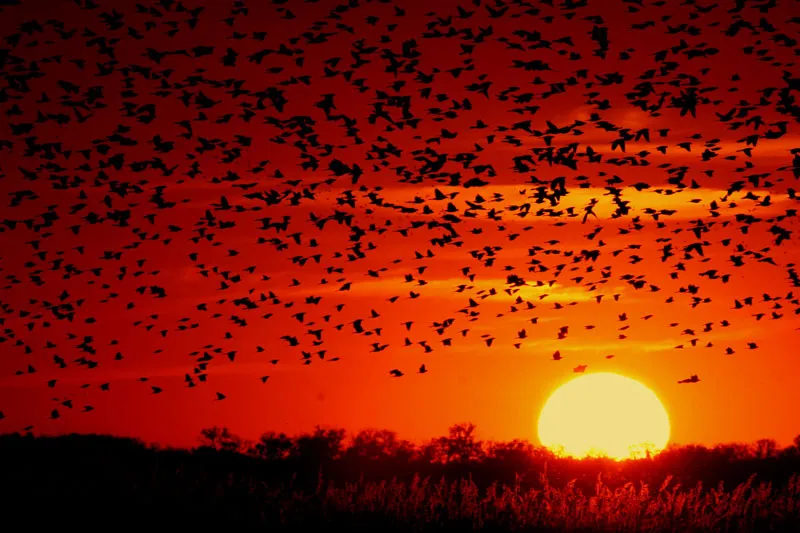
#1 Earlier Sunsets and a Noticeably Lower Sun Angle
🔥 Would you like to save this?
We'll email this post to you, so you can come back to it later!
By mid September, the sun is setting earlier each night and rising later each morning, a shift that becomes impossible to ignore once you notice it. The days are shrinking by a few minutes daily, and that steady loss of daylight is one of the most reliable markers that cooler air is on its way. It isn’t just about darkness arriving sooner either. The angle at which sunlight hits the ground grows shallower, meaning less direct heating during the day even when skies stay clear.
This lower sun angle changes how warmth builds and dissipates. Mornings stay cooler longer because the sun has less punch behind it, and evenings cool off faster once that weaker light disappears below the horizon. Watch how shadows stretch longer than they did in July, even at midday, and you’re witnessing the same astronomical shift that eventually ushers in sweater weather.
#2 Clearer, Bluer Skies With Crisp Visibility

🔥 Would you like to save this?
We'll email this post to you, so you can come back to it later!
September often brings a noticeable sharpness to the sky that summer rarely offers. The humid haze that blankets the atmosphere during hot months starts to thin out as drier air masses begin pushing in from the north. Distant hills or city skylines that looked hazy in August can suddenly appear crisp and well defined, almost like someone adjusted the focus on a camera lens.
This change happens because cooler, drier air holds less moisture and fewer suspended particles than the thick, humid air of summer. Meteorologists sometimes refer to this as an improvement in atmospheric transparency, and it tends to coincide with the arrival of the first real cold fronts of the season. When the sky looks unusually blue and clean, it’s often a sign that a mass of drier, cooler air has muscled its way into the region.
#3 High, Wispy Cirrus Clouds Arriving in Waves
🔥 Would you like to save this?
We'll email this post to you, so you can come back to it later!
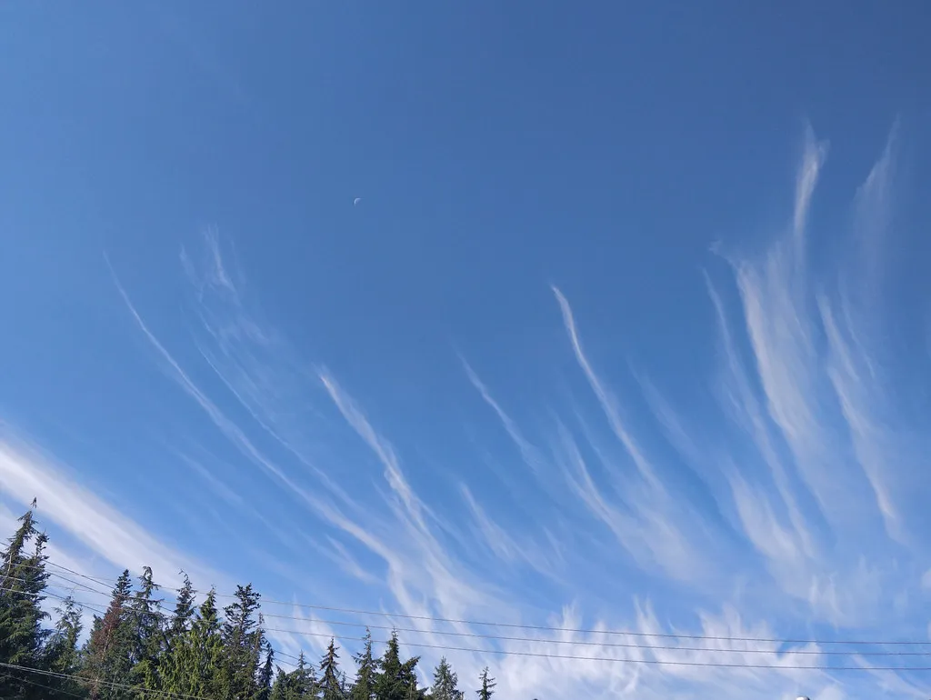
Keep an eye out for thin, feathery cirrus clouds stretching across the upper atmosphere in September. These high altitude clouds are made of ice crystals and often show up ahead of approaching weather systems, sometimes a full day or two before conditions actually shift. Their delicate, streaky appearance has earned them the nickname mare’s tails among longtime weather watchers.
When cirrus clouds increase in frequency and start to thicken into a milky veil across the sky, it frequently signals that a cold front or jet stream disturbance is approaching from the west. This pattern becomes more common in September as the jet stream begins to dip further south, carrying with it the first real punches of autumn air. Watching the clouds thicken over a day or two can genuinely help you anticipate a temperature drop before your phone’s weather app catches up.
#4 A Shift in Cloud Formations From Puffy to Layered
🔥 Would you like to save this?
We'll email this post to you, so you can come back to it later!
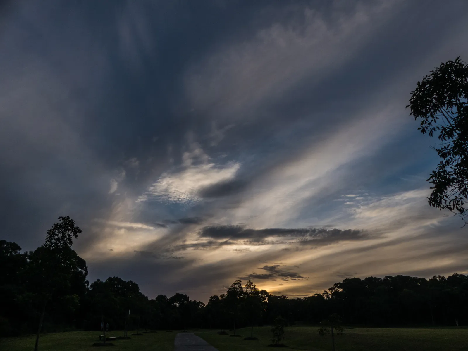
Summer skies tend to favor tall, puffy cumulus clouds that build up on warm, humid afternoons. As September progresses, those clouds often give way to flatter, more organized layers known as stratus or altostratus formations. This transition reflects a broader atmospheric shift as warm, unstable summer air gets replaced by cooler, more stable air masses.
Layered clouds tend to form when air masses of different temperatures slide over one another rather than mixing vertically the way summer thunderstorm clouds do. This horizontal stacking is a hallmark of autumn weather patterns and often precedes extended stretches of gray, cooler days. If your skies start looking flatter and grayer rather than dramatic and towering, that’s your atmosphere quietly downshifting into fall mode.
#5 Increased Frequency of Frontal Cloud Bands
🔥 Would you like to save this?
We'll email this post to you, so you can come back to it later!
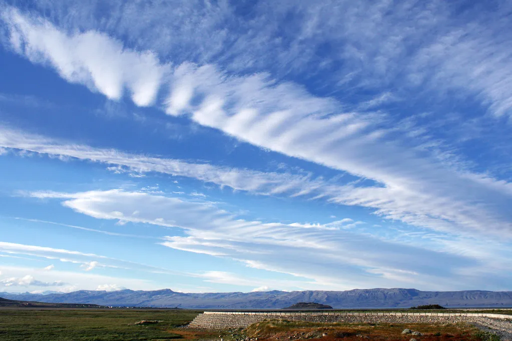
September is when cold fronts start becoming a regular part of the weekly forecast rather than an occasional summer surprise. These fronts often announce themselves visually as long bands of clouds stretching across the horizon, sometimes accompanied by a distinct line of darker clouds marking the leading edge. Watching these bands roll through with greater regularity is one of the clearest visual cues that the seasonal pattern is turning over.
Each frontal passage tends to nudge temperatures a little lower, even if the effect only lasts a day or two before things warm back up temporarily. Over the course of the month, these repeated frontal passages create a stair step pattern of cooling that meteorologists track closely. If you notice more of these organized cloud bands moving through compared to July or August, it’s a solid indication that the atmosphere is settling into its autumn rhythm.
#6 A Return of Visible Morning Fog
🔥 Would you like to save this?
We'll email this post to you, so you can come back to it later!
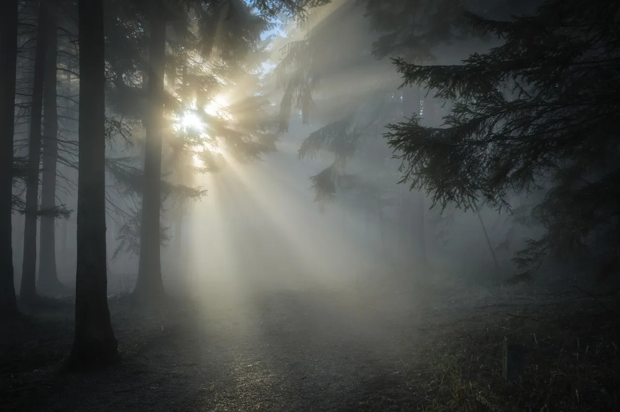
Cool September mornings often bring back a sight many people associate more with autumn than late summer: fog settling into valleys, over lakes, or across open fields. This happens because nighttime temperatures start dropping faster than the ground and water can release their stored heat, creating the temperature contrast needed for condensation. The result is that soft, low lying mist that tends to burn off within an hour or two after sunrise.
The reappearance of morning fog is particularly telling because it requires cooler overnight air, something that simply doesn’t happen as often during the peak of summer. As nights continue to lengthen and cool through September, fog becomes a more regular visitor, especially near bodies of water where the temperature differential is most pronounced. Frequent foggy mornings are often one of the more poetic, if slightly inconvenient, signals that the seasons are turning.
#7 Contrails That Linger Longer Than Usual
🔥 Would you like to save this?
We'll email this post to you, so you can come back to it later!
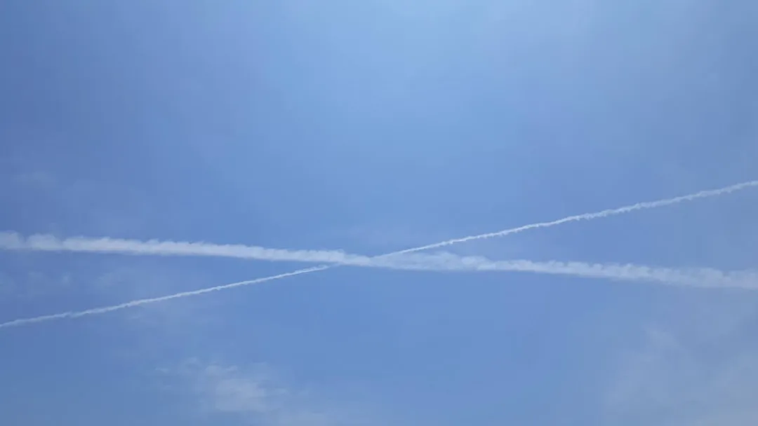
Airplane contrails, those thin white lines left behind by jets, tend to behave differently depending on the moisture and temperature of the upper atmosphere. In summer, they often dissipate quickly because the air aloft is typically drier and warmer. Come September, contrails frequently linger and spread out into wider, hazier bands, a sign that upper level humidity is increasing ahead of approaching weather systems.
This lingering effect happens because cooler, more humid air at high altitudes allows the ice crystals in contrails to persist and expand rather than evaporate quickly. Aviation meteorologists have long used contrail behavior as an informal indicator of upcoming atmospheric changes. When you start noticing contrails stretching and spreading across the sky rather than vanishing within minutes, it often means a shift toward cooler, more unsettled weather isn’t far behind.
#8 The Jet Stream Dipping Further South
🔥 Would you like to save this?
We'll email this post to you, so you can come back to it later!
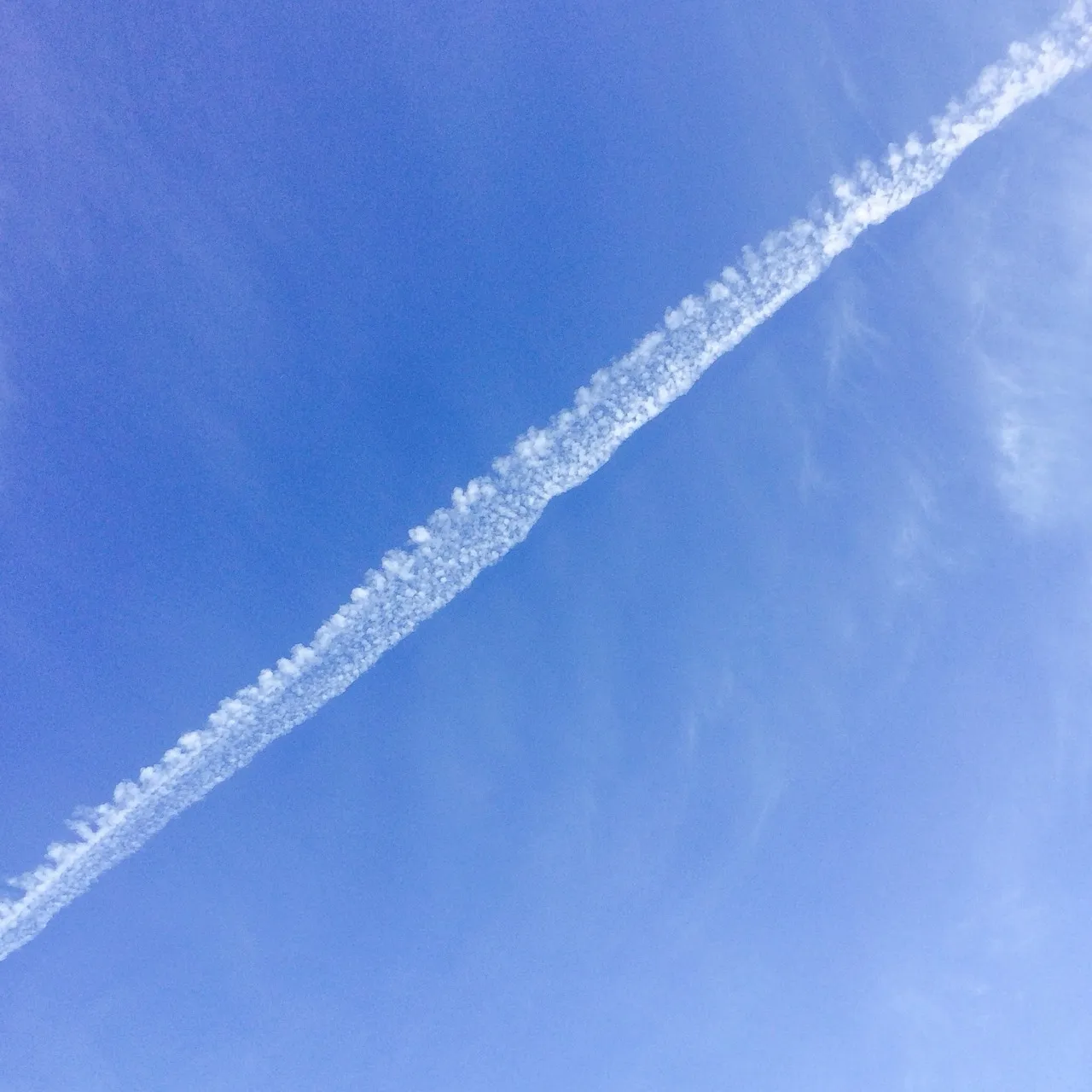
While you can’t see the jet stream directly, its influence becomes visible in the cloud patterns and wind shifts happening overhead. Throughout September, this fast moving river of air in the upper atmosphere begins sliding southward from its summer position, dragging cooler Canadian and Arctic air masses along with it. The result is often a noticeable increase in wind speed and direction changes that meteorologists watch closely on forecast maps.
You can sometimes catch visual evidence of this shift in the way clouds move faster across the sky or change direction more abruptly than they did during summer’s calmer patterns. Bands of altocumulus clouds arranged in parallel rows, sometimes called cloud streets, can also hint at stronger upper level winds associated with a dipping jet stream. This southward migration is essentially the atmospheric mechanism behind most of the cold snaps that arrive throughout autumn.
#9 More Dramatic and Colorful Sunsets

🔥 Would you like to save this?
We'll email this post to you, so you can come back to it later!
September often delivers some of the most vivid sunsets of the year, and there’s real science behind that beauty. As drier, cooler air masses move in and humidity drops, the atmosphere becomes better at scattering light in ways that produce those deep orange, pink, and purple hues. Combined with the increasing presence of high cirrus clouds, which catch and reflect low angle sunlight beautifully, September sunsets frequently outshine their hazier summer counterparts.
The science of Rayleigh scattering explains part of this, as shorter blue wavelengths scatter more efficiently in drier air, allowing the longer red and orange wavelengths to dominate the visual palette during sunrise and sunset. This is why clear September evenings often produce those postcard worthy skies that people can’t help but photograph. If your evening skies have started looking more like a painting than a plain fade to dark, thank the same shifting air masses that are quietly ushering in cooler weather.
#10 Earlier and More Frequent Star Visibility
🔥 Would you like to save this?
We'll email this post to you, so you can come back to it later!
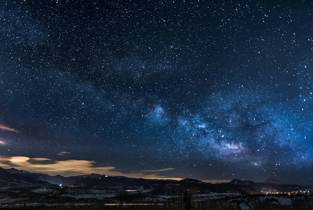
As nights lengthen and humidity drops throughout September, stars often become more visible earlier in the evening compared to the hazy summer skies of July and August. Reduced atmospheric moisture and fewer suspended particles mean less scattering of starlight, resulting in noticeably sharper and more numerous visible stars on clear nights. Stargazers frequently note that September marks a turning point when familiar constellations start appearing crisper against a darker backdrop.
This improved visibility ties directly back to the same drier air masses responsible for those bluer daytime skies and more vivid sunsets. Cooler air simply holds less water vapor, and with fewer particles floating around to scatter light, the atmosphere effectively becomes more transparent after dark. If you’ve noticed the night sky looking a bit more brilliant lately, it’s another quiet confirmation that summer’s grip is loosening.
Reading the Sky Before the Forecast Does

🔥 Would you like to save this?
We'll email this post to you, so you can come back to it later!

- 10 Common Garden Pests That Are Actually Beneficial To Your Backyard Ecosystem - November 5, 2026
- 10 Unusual Reasons Older Adults Bond More Deeply With Certain Dog Breeds - November 5, 2026
- The Cheetah: The Speed King of the Animal Kingdom - November 5, 2026