

There’s something quietly alarming about watching a coastline disappear. Not in a single dramatic moment, but steadily, persistently, one tide at a time. Across the United States, some of the country’s most ecologically rich shorelines are losing ground to erosion, rising seas, and the cumulative weight of decades of human interference with natural systems.
In the United States, coastal erosion accounts for roughly $500 million per year in coastal property loss alone. Beyond the financial toll, more than 80,000 acres of coastal wetlands vanish annually, which amounts to the equivalent of seven football fields disappearing every single hour of every day. The wildlife that depend on these shrinking habitats have nowhere else to go.
1. The Louisiana Gulf Coast and Mississippi River Delta
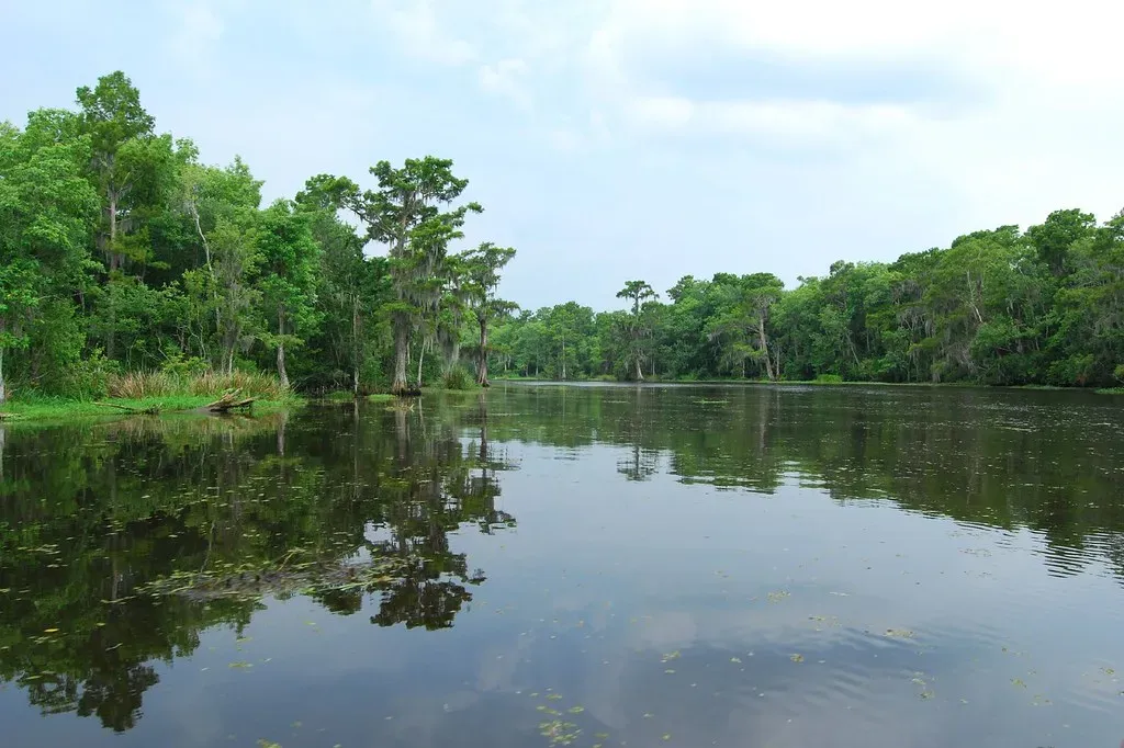
Few places in America illustrate the scale of coastal loss more starkly than Louisiana. Since the 1930s, Louisiana has lost nearly 1,900 square miles of land, an area roughly the size of Delaware. The drivers are overlapping and relentless: subsidence, industrial canal construction, and a Mississippi River that has been leveed into submission.
One of the most significant causes of land loss is the straitjacketing of the lower Mississippi River with huge levees. The problem is that the delta’s wetlands were built and sustained by sediment delivered by the river, but leveeing cut the tie between the sediment-filled river and its delta, stopping the cycle of new wetland growth. Today, coastal Louisiana is losing 24 square miles of wetlands each year, roughly equivalent to a football field every 100 minutes.
About 40 percent of the coastal wetlands in the lower 48 states are found in the Mississippi River Delta in Louisiana. These millions of acres of wetlands are home to millions of birds, fish, and other wildlife. Coastal wetlands here provide habitat for many federally threatened and endangered species, including the Whooping Crane, Louisiana Black Bear, and Florida Panther.
2. The Florida Everglades and Keys Coastline
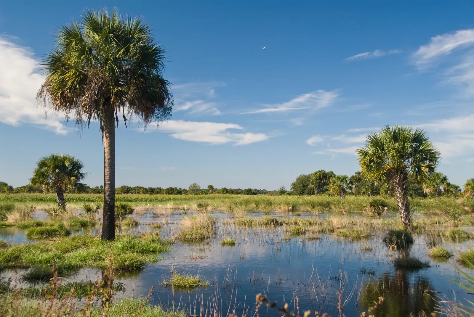
Florida’s low-lying coasts and islands, flat topography, and porous limestone geology make it particularly vulnerable to inundation and saltwater contamination of groundwater. In South Florida, the majestic Everglades wetlands and Florida Keys could face catastrophic loss under projected sea-level rise scenarios. The Everglades serves as critical habitat for Florida Panthers, Cape Sable Seaside Sparrows, and American Crocodiles, all of which are federally protected.
Key deer populations live at elevations less than 3 feet above sea level. The Key deer’s pine rockland habitat has already been reduced by rising seas, and up to 96 percent of Big Pine Key’s pine forest and hardwood hammocks could be inundated by 2100, with sea-level rise also threatening to eliminate many Key deer watering holes. This is one of the most geographically constrained wildlife crises anywhere in the country.
3. The Mid-Atlantic Coast and Chesapeake Bay Region
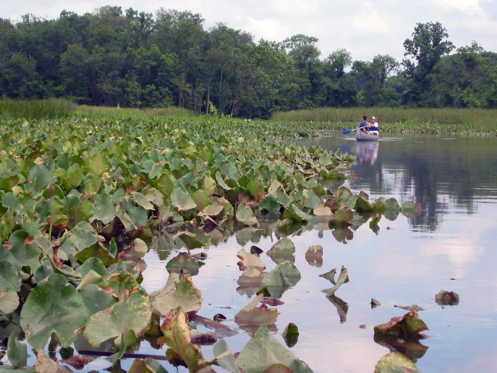
In the Mid-Atlantic, the Chesapeake Bay estuary is at risk of a “catastrophic, landscape-scale wetland loss” on the same level of threat as wetlands of the Gulf Coast. The region faces a compounding problem: the coastal part of this region not only has the second-highest sea level rise in the U.S., but its annual rate exceeds the global trend by a significant margin.
On the Potomac River, Dyke Marsh Wildlife Preserve is the largest remaining freshwater tidal wetland in the Washington, D.C. area, where more than 250 bird species have been spotted. Due to sea level rise, the long-term survival of the marsh is at risk from flooding and erosion. Around 50 years ago, the preserve was about 650 acres, but dredging has shrunk it to 485 acres today. That’s a loss that has unfolded within a single human lifetime.
4. The Outer Banks and Southeast Atlantic Barrier Islands
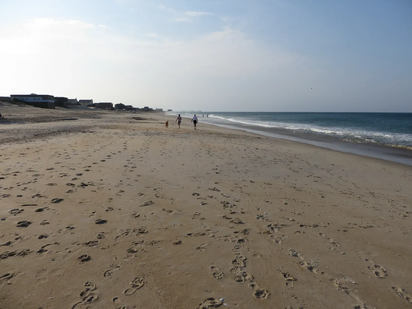
Coastal evolution along the Southeast Atlantic will present itself primarily as accelerated coastal erosion and shoreline retreat, since the vast majority of the study region is characterized as low-lying barrier islands. These narrow strips of sand are among the most erosion-prone landscapes in the nation, and they’re also critical nesting grounds for some of the country’s most recognizable shorebirds.
The Piping Plover, listed as a threatened species in the U.S., faces sea-level rise as a critical threat in both summer breeding and winter foraging seasons. These birds typically nest near water and forage for aquatic invertebrates usually within about 16 feet of the water’s edge. In general, avian species in this region are more vulnerable than fish because of nesting habitat loss to sea level rise, erosion, and potential increases in storm surge. With so little land between the ocean and the sound, the margin for survival is already razor-thin.
5. The Texas Gulf Coast
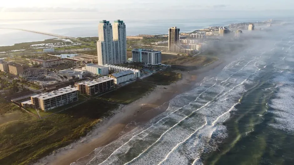
The Texas coast stretches over 350 miles along the Gulf of Mexico, supporting a diverse web of habitats from tidal flats to coastal prairies. Of the species assessed along the Gulf Coast, Kemp’s ridley sea turtle is thought to be the most vulnerable, with experts identifying its main threat as the loss of nesting habitat to sea level rise, erosion, and urbanization. The Kemp’s ridley is the world’s most endangered sea turtle, and Texas beaches are essential to its continued recovery.
Tidal emergent marsh is considered to be the most vulnerable ecosystem along the Gulf Coast, due in part to sea level rise and erosion. Over half of commercial fish and shellfish species in the Southeastern United States rely on coastal wetlands. The collapse of these marsh systems would ripple outward through an entire food web that feeds both wildlife and local fishing economies.
6. The Pacific Coast of California
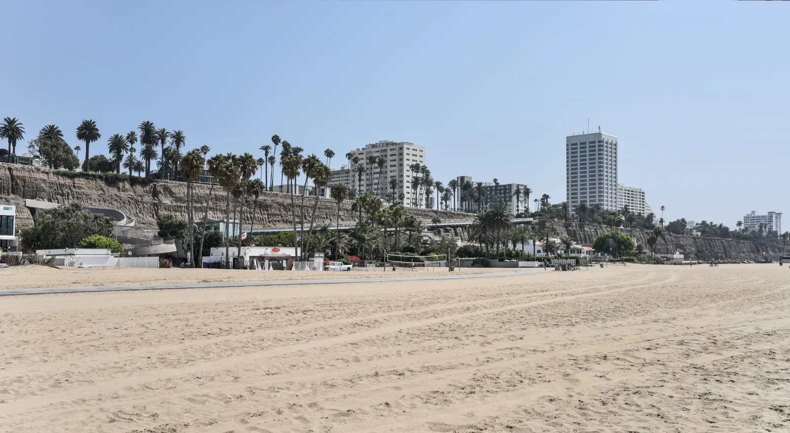
Cliff erosion is a common storm-induced hazard along the West Coast. California’s coastline is geologically dynamic to begin with, but rising seas and intensified storm patterns are accelerating change in ways that native species are struggling to absorb. San Francisco Bay is home to some of the most vibrant and vital wildlife habitat on the West Coast, all within a dense urban population.
Estuarine wetlands typically protect the coastline from erosion and flooding, but if sea level increases and development prevents the inland migration of wetlands, more wetlands will be converted to open water. Along the California coast, this squeeze is already playing out, with salt marsh habitats contracting and species like the California Clapper Rail losing critical ground. Sea-level rise, flooding, erosion, and other impacts from a changing climate are impacting an increasing number of areas with increasing frequency.
7. The Arctic Coast of Alaska
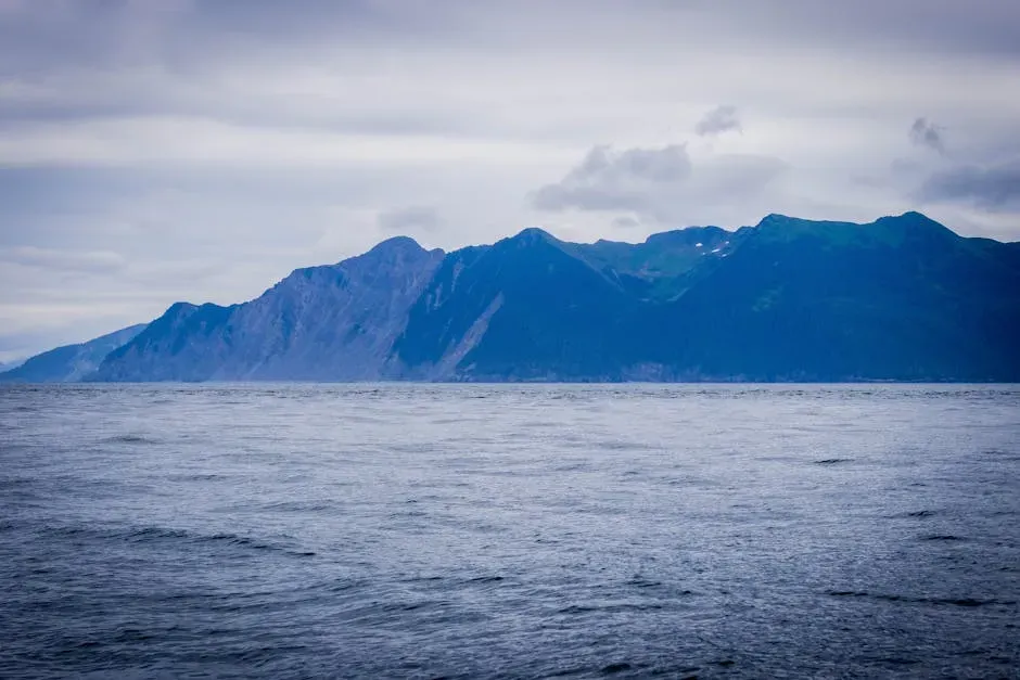
No coastal region in the United States is changing faster or more dramatically than Alaska’s Arctic shoreline. In the Arctic, which is warming at nearly four times the global average, the combined forces of permafrost thaw, rising seas, and coastal erosion could reshape the landscape far faster than previously believed. Recent research projects that the Arctic Coastal Plain of Alaska could see 6 to 8 times more land lost to these combined impacts by the end of the century compared to the effects of erosion alone.
A variety of nearshore marine, terrestrial, and freshwater habitats are threatened by coastal erosion in Alaska, including subtidal zones, sandy shores, barrier spits and islands, lagoons, tundra bluffs, dune systems, and wetlands. Such areas provide critical habitat for unique plant communities, seal haul-outs, potential denning sites, freshwater and anadromous fish, and migratory stopover sites for birds and marine mammals. With parts of Alaska seeing more than 70 feet of coastal erosion per year, the pace of habitat loss is difficult to fully comprehend.
The Wider Pattern and What It Means
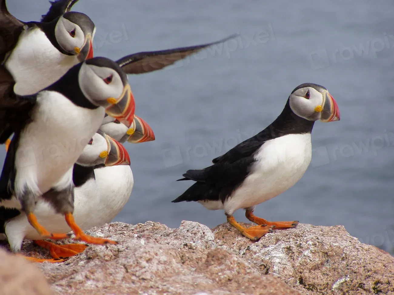
Analysis by the Center for Biological Diversity found that roughly one in six of the nation’s threatened and endangered species are at risk from rising sea levels. These aren’t abstract projections. They describe animals with specific nesting beaches, specific marsh edges, and specific tidal corridors that are narrowing year by year. Much coastal habitat has already been lost to development, leaving species with few places to move. Without help, many species are at risk of being squeezed between rising seas and shoreline development.
Salt marshes, seagrass beds, and mangroves play an important role in removing greenhouse gases from the atmosphere and storing them in plants and in the soil, which means the loss of these habitats feeds back into the very forces driving their destruction. Benefits of returning land to its undeveloped state include buffering storm surges, creating nursery habitat for commercially important fish species, and restoring open space and wildlife that support recreation, tourism, and the culture of coastal communities.
Restoration is possible, and in some places it’s already underway. The harder truth is that the scale of what’s needed still dwarfs the scale of what’s being done. Each of these seven regions holds something irreplaceable, not just in ecological terms, but in the kind of quiet richness that makes a coastline feel like it belongs to more than just us. Whether enough of it survives depends largely on choices being made right now, in planning offices, in legislative chambers, and along the shorelines themselves.

- America’s Most Dangerous Fault Lines You’ve Probably Never Heard Of - July 14, 2026
- Animal Psychology Says If You See a Large Gathering of Crows in Your Yard at Dawn It Is a Sign of Complex Social Behaviour – and the Cognitive Power Required for It Belongs to an Elite Group of Species - July 14, 2026
- 10 World’s Most Beautiful Gardens - July 14, 2026