
In the shadowy world of wildlife conservation, few battles are as urgent as the fight to protect rhinos from extinction. With all five rhino species threatened and three critically endangered, conservationists have turned to sophisticated technology in their mission to safeguard these prehistoric giants. GPS tracking has revolutionized rhino protection, transforming how rangers monitor movements, predict poaching threats, and understand rhino behavior. This technology—once exclusively used for military applications—now serves as a critical tool in preserving one of Earth’s most iconic and threatened species. Let’s explore how these tracking systems work, the challenges they address, and the promising future they offer for rhino conservation worldwide.
The Critical State of Rhino Conservation
Rhinos face an existential crisis primarily driven by poaching for their horns. The black market value of rhino horn—pound for pound more valuable than gold—has intensified poaching to unprecedented levels. The statistics are alarming: the Western black rhino was declared extinct in 2011, and the Northern white rhino is functionally extinct with only two females remaining. The Javan rhino population hovers around 74 individuals, while the Sumatran rhino numbers fewer than 80. Even the more populous Southern white and Indian rhinos remain vulnerable to poaching pressure. In this context, GPS tracking has emerged as an essential conservation tool, providing real-time monitoring capabilities that help rangers intercept poachers before they strike and gather critical data for long-term conservation strategies.
GPS Tracking Technology: The Basics

GPS (Global Positioning System) tracking for rhinos operates on the same fundamental principles as the technology in our smartphones and vehicles. The system relies on satellites orbiting Earth that transmit signals to receivers embedded in tracking devices attached to rhinos. These receivers calculate the rhino’s precise location by measuring the time it takes signals to arrive from multiple satellites. Modern rhino tracking devices incorporate sophisticated components: GPS receivers determine location coordinates, GSM/cellular transmitters send data to monitoring stations, motion sensors detect unusual activity patterns, and long-lasting batteries power the entire system. The collected data—including location, movement patterns, and activity levels—is transmitted to central databases where conservation teams analyze it to inform protection strategies and research initiatives.
Methods of Attaching Tracking Devices to Rhinos
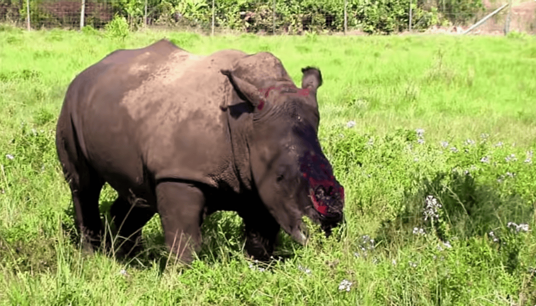
Fitting rhinos with tracking devices requires careful consideration of both animal welfare and tracking effectiveness. Conservationists employ several attachment methods, each with distinct advantages. The most common approach involves embedding the tracking device within a durable collar fitted around the rhino’s ankle or neck, though ankle collars have proven more effective for rhinos due to their body shape. Horn implantation represents another method, where small transmitters are carefully embedded within the inert portion of the rhino’s horn—a technique that requires specialized veterinary expertise to avoid harming the living tissue at the horn’s base. For less invasive monitoring, ear-tag transmitters can be attached during routine health checks. The newest innovation involves subcutaneous implants placed under the rhino’s thick skin, offering excellent concealment from poachers but requiring surgical procedures. Each attachment method requires a careful immobilization process conducted by wildlife veterinarians who monitor the animal’s vital signs while the device is secured.
Real-Time Monitoring and Anti-Poaching Applications

The most immediate benefit of GPS tracking is its anti-poaching capability. Modern systems create virtual “geofences” around protected areas and individual rhinos, triggering instant alerts when boundaries are crossed or when unusual movement patterns suggest distress. These alerts enable rapid response from anti-poaching units, often making the critical difference between successful protection and tragedy. In South Africa’s Kruger National Park, where rhino poaching reached crisis levels, GPS tracking contributed to a 23% reduction in poaching incidents between 2017 and 2019. The technology also helps rangers optimize patrol routes based on rhino locations and identified vulnerability hotspots. Some advanced systems incorporate predictive analytics that assess weather conditions, moon phases, historical poaching data, and rhino movement patterns to forecast high-risk periods and areas, allowing conservation teams to proactively strengthen security when and where it’s most needed.
Gathering Critical Behavioral Data

Beyond anti-poaching applications, GPS tracking provides researchers with unprecedented insights into rhino behavior. The continuous stream of location data reveals patterns that would be impossible to observe through traditional field studies alone. Scientists can analyze home range sizes, which vary significantly between species—white rhinos typically utilize territories of 5-14 square kilometers, while black rhinos may range across 25 square kilometers or more. The tracking data also illuminates daily movement patterns, including feeding schedules and resting periods, helping researchers understand energy expenditure and resource needs. Perhaps most valuable are the insights into social dynamics, particularly important for semi-social species like white rhinos. Tracking multiple individuals simultaneously reveals interaction patterns, territorial behaviors, and mating systems that inform breeding programs and habitat management. This wealth of behavioral data has transformed our understanding of these notoriously difficult-to-study animals, challenging previous assumptions and revealing new conservation implications.
Specialized GPS Systems for Different Rhino Species
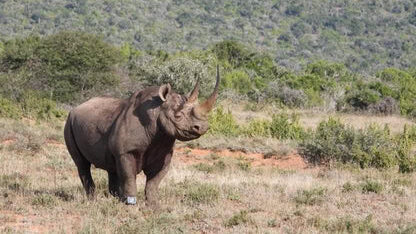
Each rhino species presents unique tracking challenges requiring specialized approaches. For the massive white rhino, which can weigh over 2,300 kg (5,000 lbs), robust ankle collars with reinforced casings protect the electronics from damage during the animal’s frequent wallowing behavior. The more aggressive and browse-dependent black rhino requires devices that can withstand dense bush environments where branches might snag or damage exposed equipment. The critically endangered Sumatran rhino, dwelling in dense rainforests, necessitates tracking systems optimized for humid conditions with enhanced signal strength to penetrate thick canopy cover. Similarly, the Javan rhino’s rainforest habitat demands waterproof designs with extended battery life, as frequent immobilizations for battery replacement would create unacceptable stress for the fewer than 80 remaining individuals. The Indian rhino, often inhabiting wetland areas, requires fully waterproof systems that can function reliably despite regular submersion. These species-specific adaptations highlight the sophisticated engineering behind modern wildlife tracking systems.
Technological Innovations in Tracking Systems

The field of wildlife tracking is advancing rapidly, with several innovations enhancing rhino conservation effectiveness. Solar-powered units extend operational lifespans dramatically, reducing the need for recapture and battery replacement—a significant stress factor for rhinos. Miniaturization has produced smaller, lighter devices that cause less interference with natural behavior while maintaining functionality. Enhanced cryptographic security measures protect tracking data from interception by sophisticated poaching syndicates who have previously attempted to hack conservation databases. The integration of environmental sensors now allows tracking units to collect data beyond location, including ambient temperature, humidity, and even physiological metrics like heart rate and body temperature, providing early warning signs of health issues. Perhaps most promising is the development of LoRaWAN (Long Range Wide Area Network) and similar technologies that enable tracking in remote areas without cellular coverage, expanding protection to previously unmonitored populations. These innovations collectively represent a technological arms race against increasingly sophisticated poaching operations.
Challenges in GPS Rhino Tracking

Despite its benefits, GPS tracking faces significant challenges in rhino conservation. The harsh environmental conditions where rhinos live—from dusty savannas to humid rainforests—take a toll on electronic equipment, requiring ruggedized designs that increase costs. Battery limitations remain problematic; even advanced systems typically require replacement every 1-3 years, necessitating risky immobilization procedures. The expense presents another barrier, with comprehensive tracking programs costing upwards of $1,000 per rhino annually—a substantial investment for conservation organizations with limited funding. Signal reliability issues emerge in remote areas with poor cellular coverage or in dense forests where GPS signals struggle to penetrate the canopy. Perhaps most concerning is the risk that tracking data could be compromised and exploited by poachers, requiring sophisticated security protocols. Additionally, some conservation purists raise ethical questions about the intensive management approach represented by tracking, arguing for more “hands-off” conservation strategies. These challenges drive continuous improvement in tracking technologies and implementation strategies.
Case Study: Saving the Northern White Rhino
The tragic story of the Northern white rhino demonstrates both the potential and limitations of tracking technology. Once ranging across Central Africa, this subspecies now exists only as two non-reproductive females in Kenya’s Ol Pejeta Conservancy. GPS tracking played a crucial role in protecting these last individuals, with real-time monitoring enabling 24/7 armed guard deployment. The tracking data revealed the rhinos’ preferred grazing areas, allowing habitat management to maximize their health and wellbeing. When the last male, Sudan, showed signs of declining health in 2018, unusual movement patterns detected through his tracking device prompted veterinary intervention. Though unable to prevent the subspecies’ functional extinction, the tracking program generated invaluable biological data now supporting ambitious efforts to resurrect the Northern white rhino through assisted reproductive technologies. Preserved genetic material may one day be used to create embryos implanted in Southern white rhino surrogates—a process where tracking will again play a vital role in monitoring surrogate mothers and, hopefully, new Northern white rhino calves.
GPS Data Management and Analysis

The true power of GPS tracking lies not just in collecting data but in transforming it into actionable conservation intelligence. Modern rhino tracking programs generate enormous datasets—a single rhino can produce over 8,000 location points annually. Conservation organizations employ specialized software platforms that clean, organize, and analyze this data, revealing patterns invisible to the naked eye. Geographic Information Systems (GIS) integrate tracking data with spatial information about vegetation, water sources, human settlements, and historical poaching incidents to identify correlations and causal relationships. Machine learning algorithms increasingly supplement human analysis, detecting subtle behavioral changes that might indicate pregnancy, illness, or response to environmental stressors. The analyzed data informs critical conservation decisions: where to focus anti-poaching efforts, how to manage habitats, when to intervene with veterinary care, and which individuals to select for breeding programs. This sophisticated data pipeline represents a quantum leap beyond the educated guesswork that characterized earlier conservation efforts.
Community Involvement in Tracking Programs

Successful rhino conservation depends not just on technology but on community engagement. Forward-thinking conservation organizations involve local communities in tracking programs, creating economic incentives for protection rather than poaching. In Kenya’s community conservancies, local residents trained as “rhino monitors” receive GPS data on their smartphones, allowing them to track movements and alert authorities to potential threats. These positions provide sustainable employment in regions with limited economic opportunities. South Africa’s Black Mambas Anti-Poaching Unit—composed primarily of women from local communities—uses tracking data to guide their patrol routes, achieving remarkable success in deterring poachers. Beyond employment, tracking programs generate data that helps mitigate human-rhino conflict by predicting when rhinos might approach agricultural areas, allowing preventative measures before crop damage occurs. By demonstrating that living rhinos bring more sustainable benefits than the one-time payment for a horn, these community-integrated tracking programs transform former poachers into passionate conservationists.
The Future of Rhino Tracking Technology
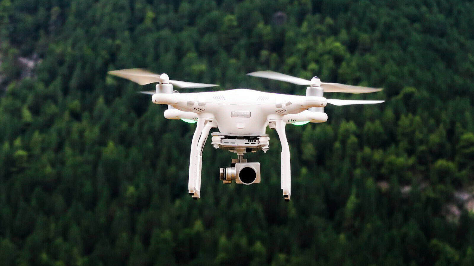
The horizon of rhino tracking technology promises even greater conservation impact. Emerging technologies include “smart horn” implants containing microscopic transmitters embedded throughout the horn material, making them virtually impossible for poachers to remove completely and allowing authorities to track poached horns to markets. Drone integration represents another frontier, with conservation teams developing systems where drones automatically deploy to investigate when tracking data indicates potential distress. Biometric identification technologies are advancing rapidly, with some reserves implementing systems that can identify individual rhinos through horn shape, ear notches, and skin patterns captured by camera traps, creating redundant identification systems that complement GPS tracking. The most ambitious developments involve self-sustaining tracking networks where data transmissions “hop” between tracked animals, extending monitoring range without additional infrastructure—particularly valuable in remote areas. As costs decrease and capabilities increase, conservationists envision comprehensive tracking programs covering entire populations, transforming protection from reactive to predictive and preventative.
GPS tracking represents a critical technological lifeline for rhinos teetering on the brink of extinction. By providing unprecedented visibility into rhino movements, behavior, and threats, these systems have transformed conservation from guesswork to precision science. The technology continues to evolve rapidly, with each generation offering enhanced capabilities that extend protection to more animals across more challenging environments. Yet tracking alone cannot save rhinos—it must function within comprehensive conservation strategies that address demand reduction, habitat protection, community engagement, and law enforcement. The most promising aspect of GPS tracking may be its ability to unite these diverse conservation approaches, providing data that informs and optimizes each component. As conservationists race against time to protect the remaining rhino populations, GPS tracking stands as a powerful testament to how human ingenuity can be harnessed not just for exploitation but for the protection of our planet’s irreplaceable living heritage.
- The Spider That Hunts Fish—Yes, It Exists - July 26, 2026
- The Role of Citizen Scientists in American Wildlife Monitoring - July 26, 2026
- How Wolves Changed Yellowstone’s Ecosystem—For the Better - July 26, 2026