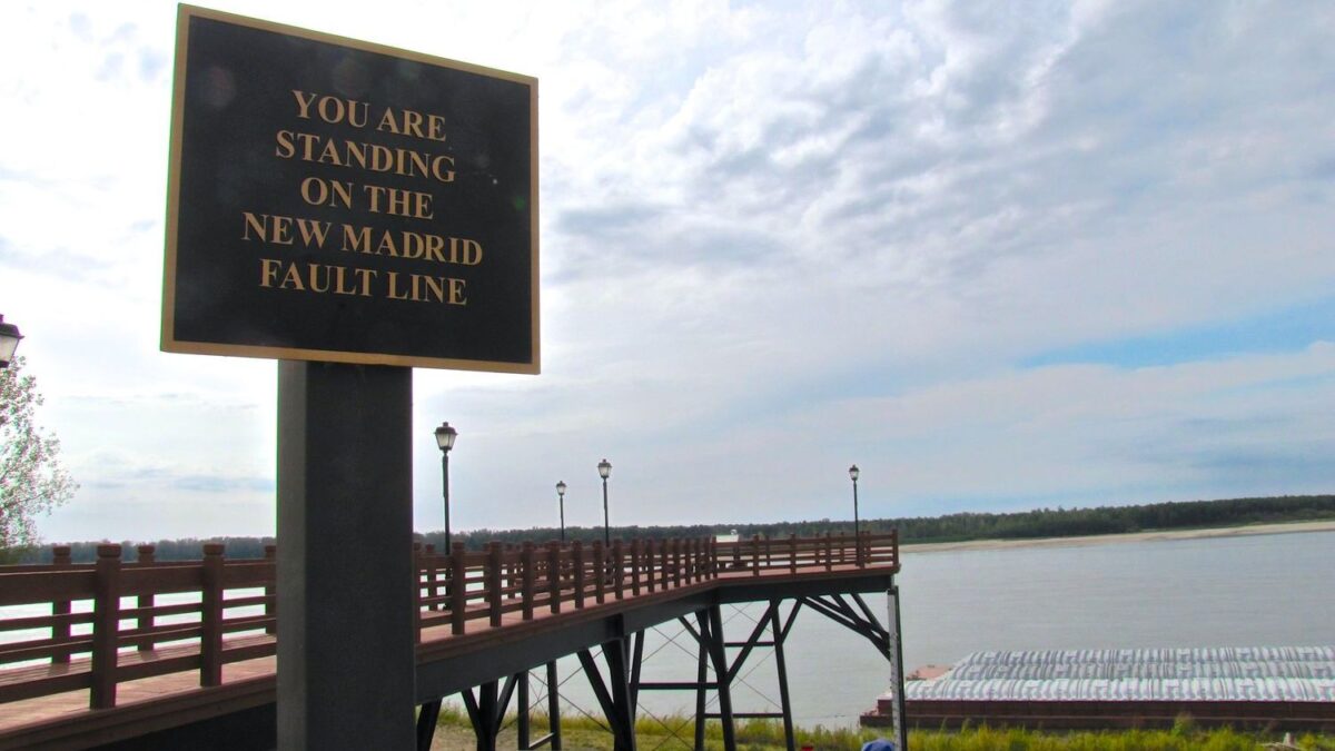
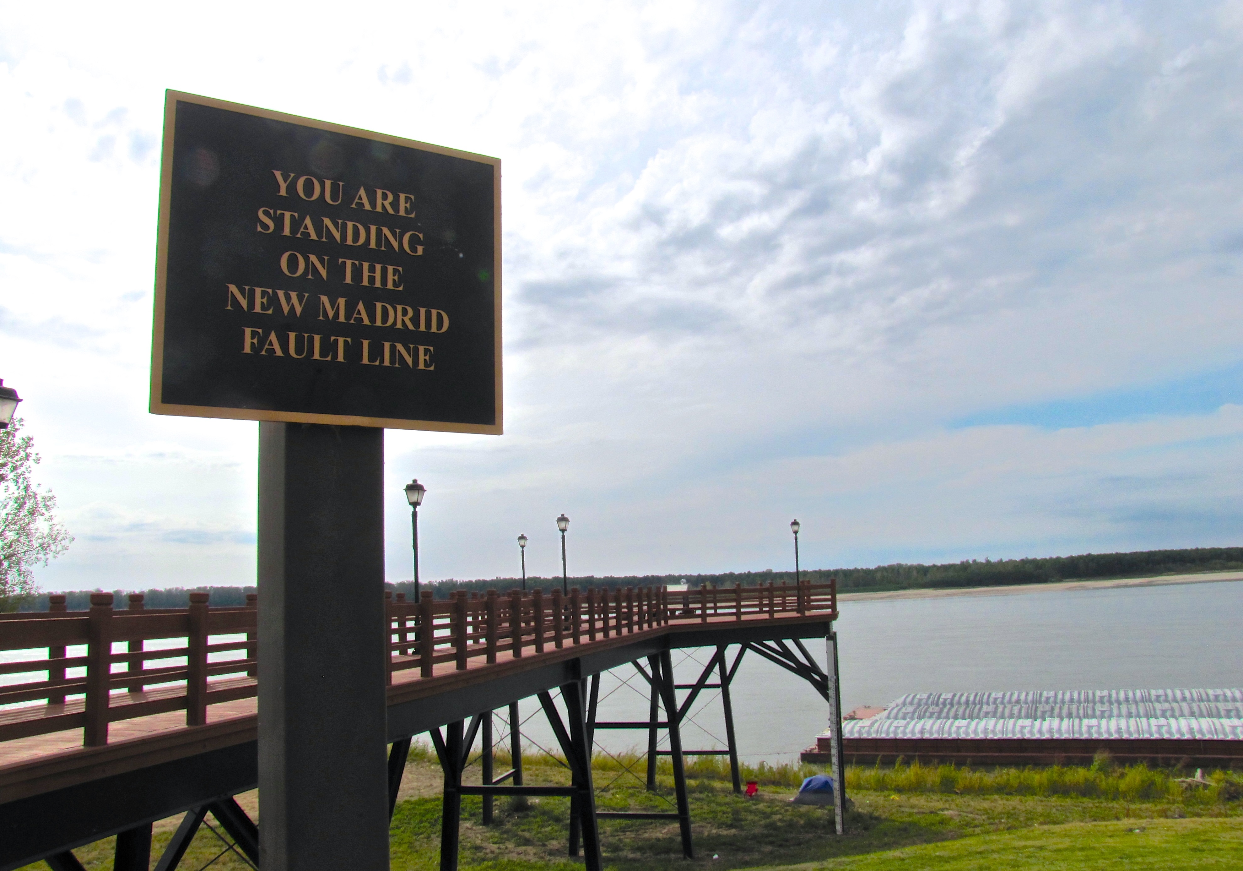
Deep beneath America’s heartland lurks a geological monster that makes California’s San Andreas Fault look tame. While most Americans worry about West Coast earthquakes, the New Madrid Seismic Zone sits quietly under Missouri, Arkansas, Tennessee, Kentucky, and Illinois. This sleeping giant has the power to shake buildings from Canada to the Gulf of Mexico, yet remains one of our nation’s most overlooked natural disasters.
The numbers are sobering, honestly. Millions of people live within the New Madrid Seismic Zone area, with significant populations in the highest-risk zones, facing potential damages of nearly three hundred billion dollars. The region experienced some of the most powerful earthquakes in North American history just over two centuries ago, creating damage that would be catastrophic today. Let’s explore the alarming realities about this forgotten fault line and examine why the central United States remains dangerously unprepared.
Hidden Beneath Miles of River Sediment
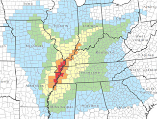
The faults responsible for New Madrid earthquakes are buried beneath one hundred to two hundred foot thick layers of soft river sediments called alluvium. This geological camouflage makes the fault system nearly impossible to see from the surface. Surface traces of the faults erode quickly or become rapidly covered by new deposits, hiding evidence of earlier earthquake locations.
Scientists use microseismic earthquake data to identify active fault trends, revealing a four-segment, zigzag fault system stretching about one hundred twenty-five miles from east central Arkansas northeastward through Missouri, Tennessee, Kentucky and into southern Illinois. The fault’s invisible nature means communities living above it often remain blissfully unaware of the danger beneath their feet.
The 1811-1812 Earthquakes Were Among the Largest in U.S. History
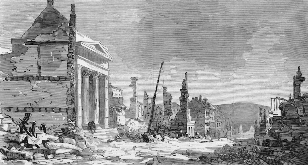
The zone experienced four of the largest earthquakes in recorded North American history, with moment magnitudes estimated to be as large as seven or greater, all occurring within a three-month period between December 1811 and February 1812. These weren’t just strong earthquakes; they were geological catastrophes.
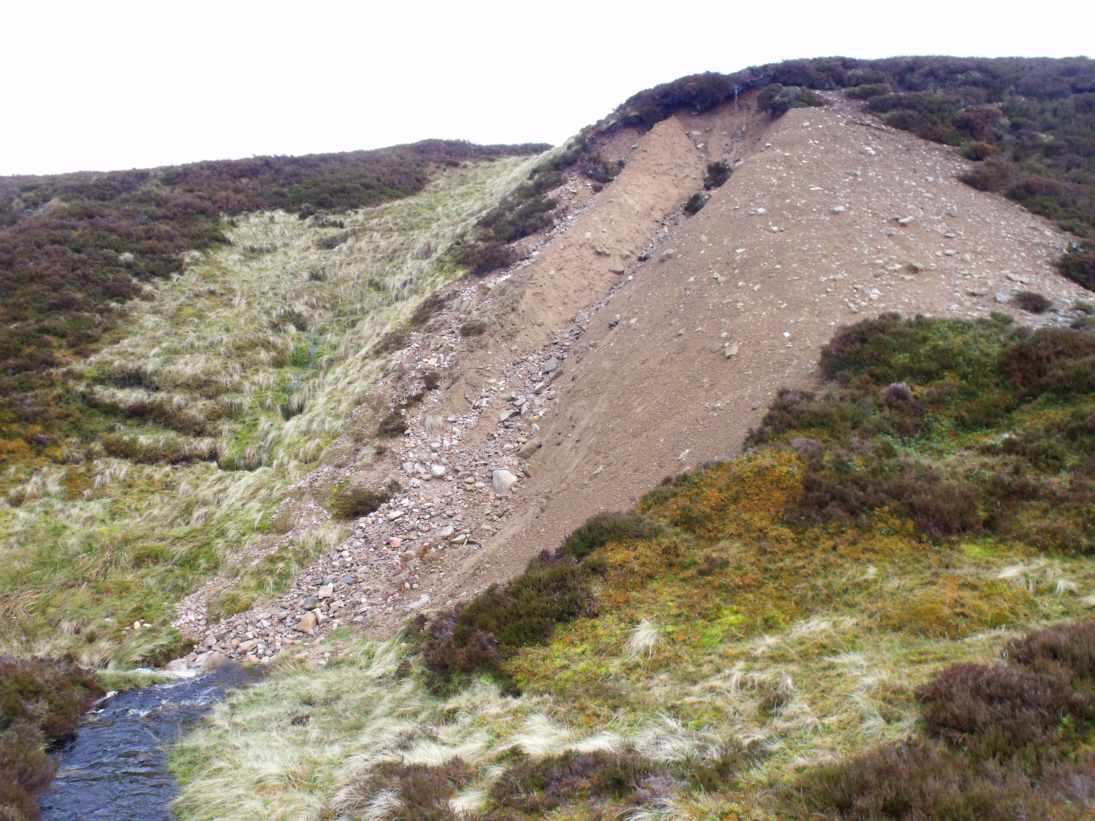
Residents in the small frontier town of New Madrid, Missouri were abruptly awakened by violent shaking and tremendous roar on December 16, 1811, followed by thousands of aftershocks that caused cracks to open in the earth’s surface, ground to roll in visible waves, and large areas of land to sink or rise. The crew of the New Orleans steamboat reported mooring to an island only to awake and find that the island had disappeared below the waters of the Mississippi River. The sheer power of these earthquakes reshaped the landscape across multiple states.
Earthquakes Travel Much Farther in the Central U.S.
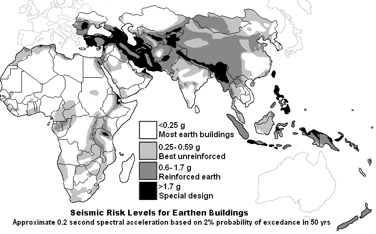
Earthquakes in the central or eastern United States affect much larger areas than earthquakes of similar magnitude in the western United States, with destruction covering more than twenty times the area due to geologic differences between regions. The geological structure beneath the central United States acts like a massive amplifier for seismic waves.
Reports show the 1811-1812 earthquakes caused church bells to ring in Boston and damage as far away as Charleston, South Carolina, and Washington, D.C. The region’s flat terrain allows seismic waves to travel further, potentially impacting a larger area. This means a major New Madrid earthquake wouldn’t just affect the immediate area but could cause damage across half the United States.
Building Codes Remain Dangerously Inadequate
At the local level, building code adoption is below par, with many cities, towns, counties and parishes lacking qualified staff to enforce local building codes, and only sixty percent of high or very high seismic risk jurisdictions enforcing building codes with full seismic provisions. This represents a massive vulnerability across the region.
Central U.S. earthquakes can be particularly devastating because impacted communities are less prepared than their west coast counterparts, with most buildings and infrastructure built without consideration of seismic shaking. Missouri’s Seismic Safety Commission has been told statewide building codes are not “politically viable,” with experts particularly concerned about schools constructed from unreinforced masonry. The politics of earthquake preparedness continue to clash with public safety needs.
Economic Devastation Would Dwarf West Coast Earthquakes
An estimated three hundred billion dollars of direct economic loss could be incurred from a repeat of the 1811-1812 events, impacting multiple insurance lines including residential and commercial property, workers compensation, marine, personal accident and auto lines. The financial impact would ripple through the entire national economy.
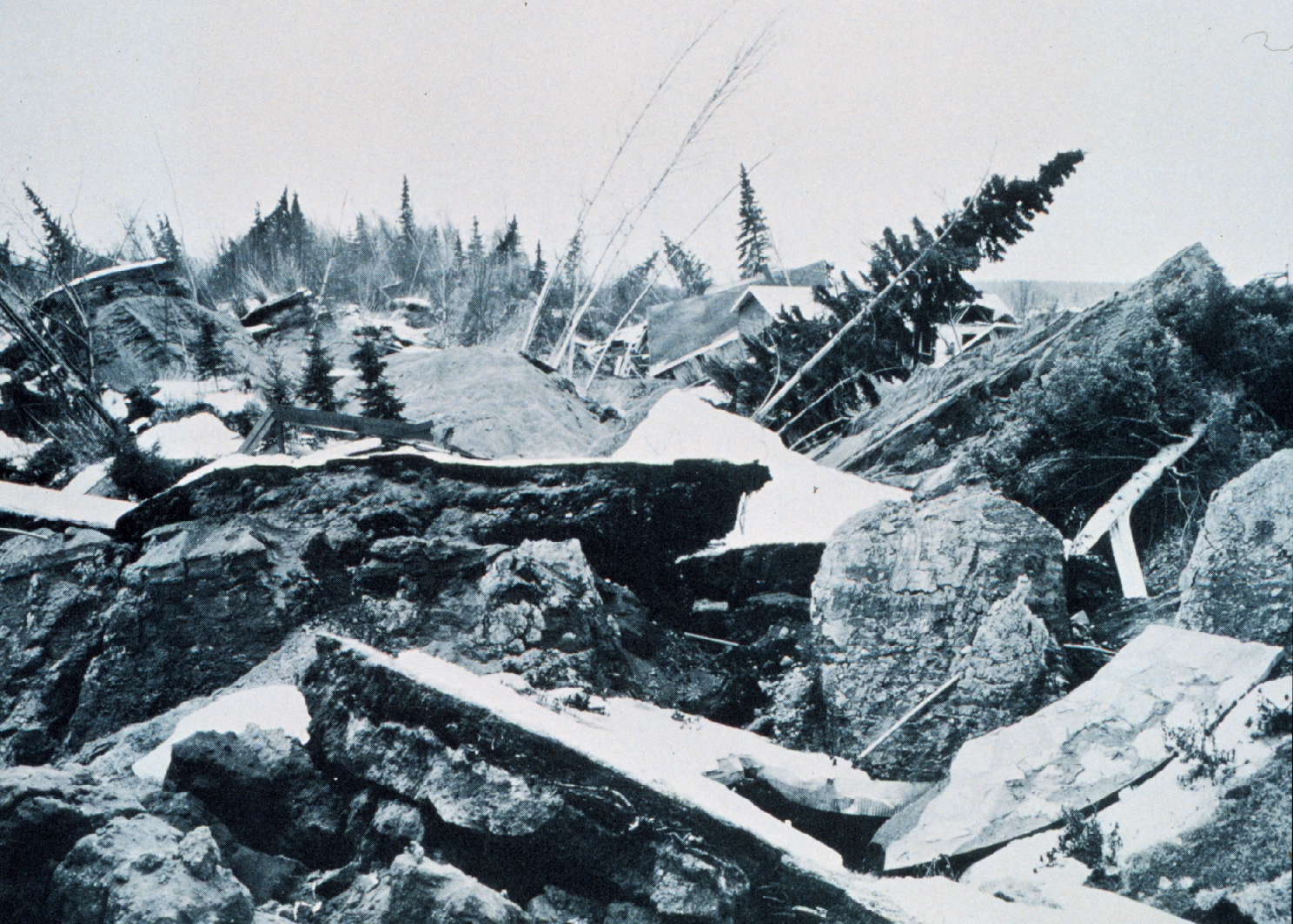
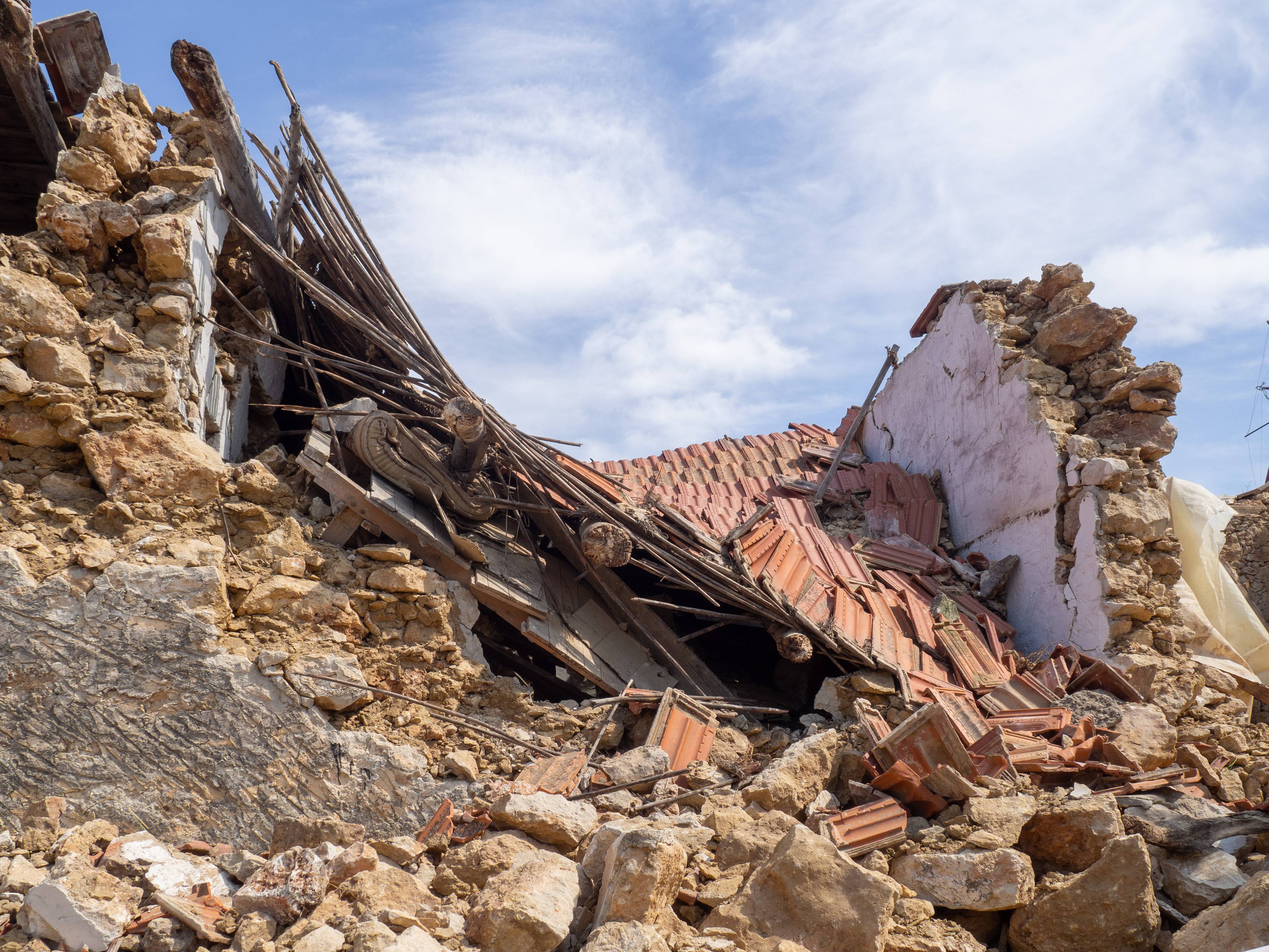
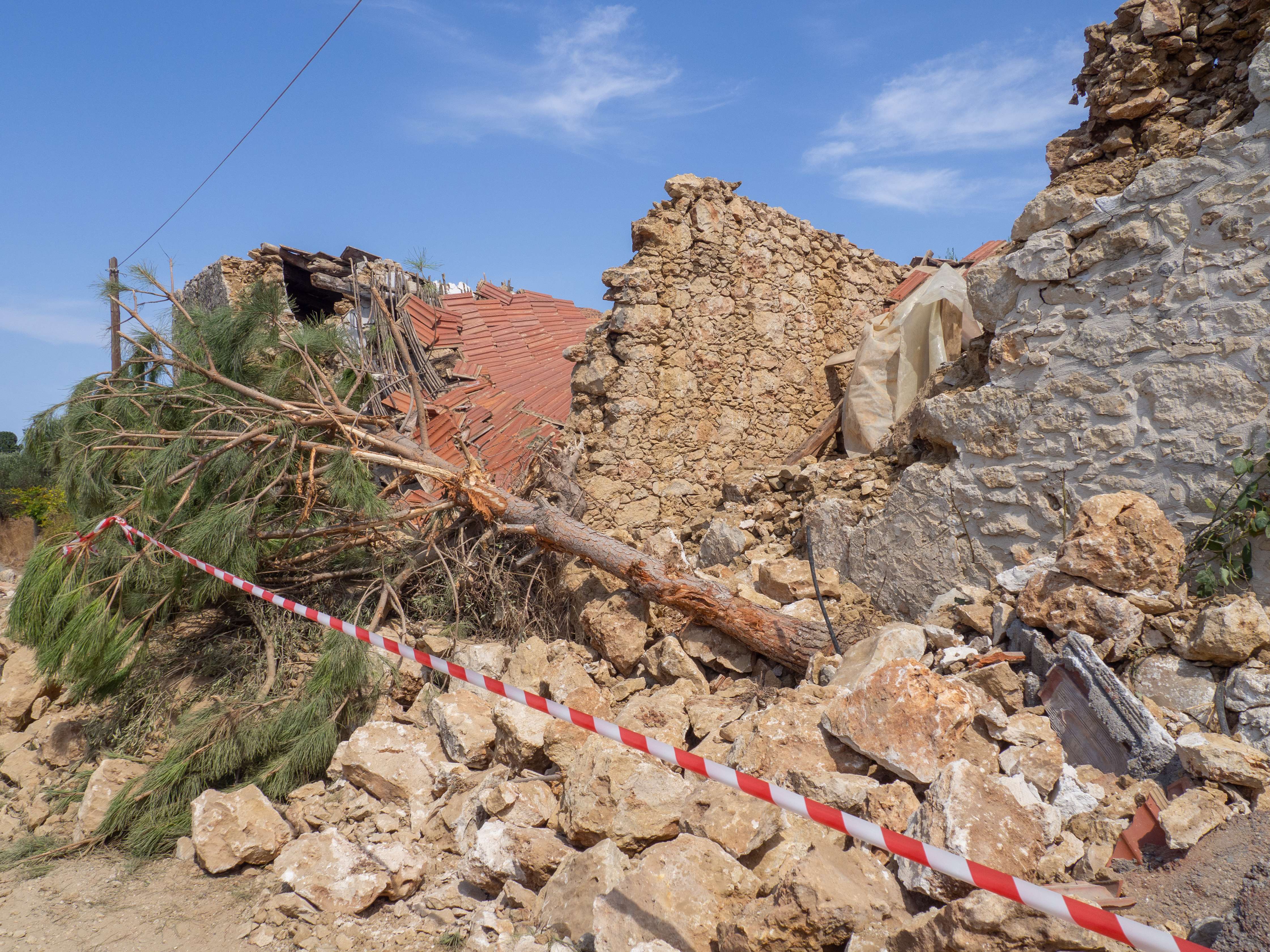
A 7.7 magnitude earthquake would damage about eighty-four thousand buildings and destroy thirty-seven thousand more, killing over fifteen thousand people and displacing an additional one hundred twenty thousand, with nearly two hundred schools and over one hundred fire stations damaged and total damages reaching nearly forty billion dollars in Missouri alone. The scale of destruction would overwhelm regional emergency response capabilities.
Critical Infrastructure Faces Catastrophic Failure
An earthquake of magnitude 7.5 or greater would cause significant structural damage to buildings in Arkansas, Mississippi, Alabama, Tennessee, Kentucky, Indiana, Illinois, and Missouri, with lifelines including highways, bridges, and oil and gas pipelines leading to the northeastern United States severely damaged. Major transportation arteries including highways, railroads, and pipelines that keep goods flowing across the country could be severed, causing disruptions that ripple far beyond the Midwest and potentially leaving grocery stores from Chicago to Atlanta empty.
Memphis, with over one million people in its metropolitan area, would be the most affected urban center, having aging infrastructure and many large buildings, including unreinforced schools and fire and police stations, particularly fragile when subjected to severe ground shaking. The concentration of vulnerable infrastructure creates a perfect storm for widespread system failures.
Scientists Cannot Predict When the Next Big One Will Hit
Based on geologic research on the paleoseismic record of past earthquakes, the USGS estimates there is a seven to ten percent chance of a New Madrid earthquake the size of those in 1811-12 occurring in the next fifty years. The chance of a magnitude-6 earthquake occurring in the New Madrid region in the next fifty years is twenty-five to forty percent.
Scientists acknowledge there’s no way to predict earthquakes, making the timing of future events completely uncertain. The hazard exists but doesn’t relate to human timespan, being measured in geologic time of hundreds of years, though the clock is ticking. This uncertainty makes long-term planning and public awareness campaigns challenging but absolutely essential.
The Region May Be “Shutting Down” or Becoming More Active
Recent data suggest the New Madrid seismic zone may be shutting down after the recent cluster of large earthquakes in the past thousand years, with GPS measurements showing that motion across the zone is either very slow or zero, suggesting it may be dying today. However, this scientific debate adds another layer of uncertainty to preparedness planning.
Other studies demonstrate that increased climate variability and drought-induced hydrological unloading can be potential drivers for crustal stress change and seismicity modulation in the zone. Recent monitoring shows dozens of earthquakes in the New Madrid seismic zone within the past thirty days, with the uptick in activity within normal ranges but highlighting ongoing seismic potential. The scientific community remains divided on whether the zone is becoming more or less active.
Conclusion

The New Madrid Fault Line represents America’s greatest seismic blind spot. While we pour billions into California earthquake preparedness, this massive threat sits largely ignored in our nation’s heartland. The infrastructure is unprepared, public awareness is minimal, and the potential for catastrophic damage dwarfs anything we’ve prepared for on the West Coast.
The wake-up call from 1811-1812 happened over two centuries ago, yet we’ve built an entire civilization on top of this ticking geological time bomb. From inadequate building codes to vulnerable critical infrastructure, the central United States remains dangerously exposed to a disaster that could reshape the American economy and displace millions of people.
What do you think about America’s earthquake preparedness priorities? Are we focused on the wrong fault lines?
- 8 Ancient Architectural Wonders Built with Animal Inspiration - June 27, 2026
- Beavers Are Nature’s Engineers, Shaping Ecosystems With Their Dams - June 27, 2026
- Scientists Warn Some US Habitats May Disappear - June 27, 2026