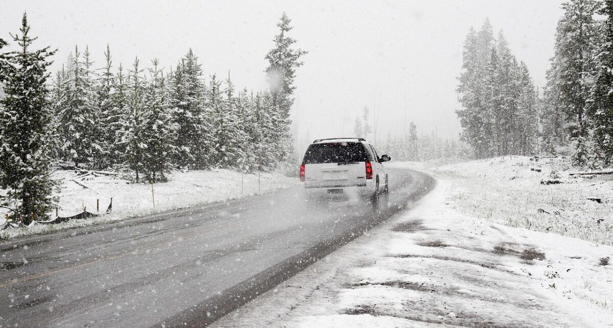
Rare Statewide Blanket Shocks the Southeast (Image Credits: Pixabay)
The Carolinas – A ferocious bomb cyclone slammed North and South Carolina from January 30 to February 1, dumping up to 22 inches of snow and etching itself into regional weather history.[1][2]
Rare Statewide Blanket Shocks the Southeast
Forecasters tracked the storm as it exploded in intensity off the Atlantic coast, rapidly dropping pressure to 973 millibars and fueling heavy snow bands over the Carolinas.[2] North Carolina experienced measurable snow in all 100 counties for the first time since 2014, a feat that underscored the event’s extraordinary reach.[3]
Coastal areas bore the brunt, with blizzard conditions reducing visibility to a quarter-mile amid gusts exceeding 35 mph in spots like Beaufort County.[3] Inland regions saw lighter but still disruptive accumulations, while South Carolina recorded notable falls north of Myrtle Beach. The system, unofficially dubbed Winter Storm Gianna, also scattered flurries as far south as Florida.[2]
Snow Totals That Broke Decades-Old Marks
Snowfall measurements revealed a patchwork of records across the region. Coastal North Carolina sites like Peletier tallied 19.5 inches, while Swansboro logged 17 inches – totals unseen since 1989 in places like New Bern and Newport.[3]
- Faust, NC (mountains): 22.5 inches, the storm’s peak.[2]
- Charlotte Douglas Airport: 11 inches, tying a mark from 1880.[2]
- Lexington and Kannapolis: Up to 16 inches.[3]
- Wilmington: 5.8 inches, highest since 1989.[1]
- Lake View, SC: 12 inches.[4]
These figures doubled some seasonal totals, like Asheville’s, and marked the Piedmont’s biggest event since 2004 in Charlotte.[3]
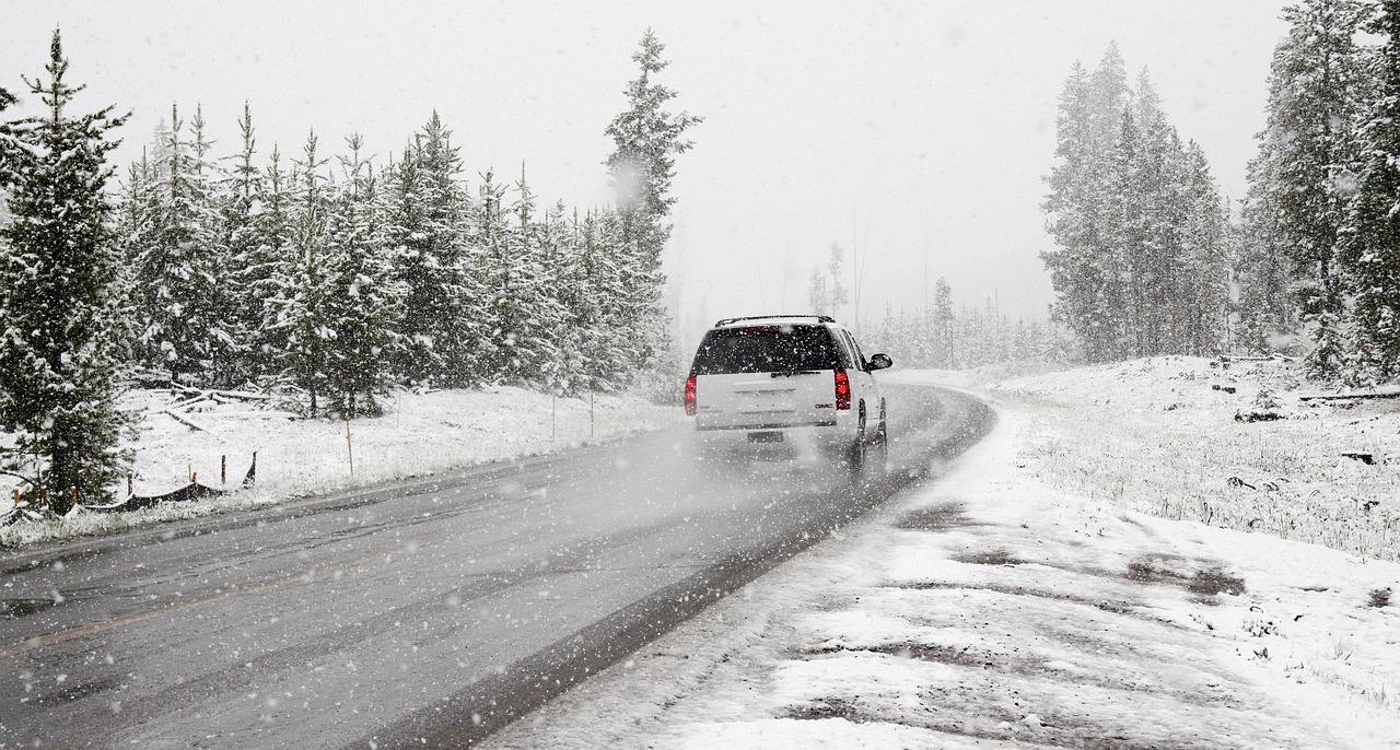
Chaos on Roads and in the Skies
More than 1,000 vehicle collisions marred North Carolina highways alone, claiming two lives and injuring dozens.[1][4] A massive pileup on Interstate 85 stranded over 100 vehicles, including tractor-trailers, prompting National Guard intervention.[1]
Airports reeled from cancellations: 56 percent at Charlotte, over 60 percent at Wilmington and Myrtle Beach.[1] Power outages affected over 10,000 customers in the Carolinas, with broader Southeast tallies surpassing 190,000.[2] Highway 12 along the Outer Banks shut down after ocean overwash, and black ice lingered as a hidden threat.
Officials Rally for Recovery
The National Weather Service office in Wilmington labeled it “a historic storm that will be talked about for decades.”[1] Meteorologist Rachel Zouzias added, “It’s a remarkable storm for us… For some people, it’s the storm of their life.”
North Carolina Governor Josh Stein implored residents: “Our message today is to stay off the roads” and “This is no joke.”[1][4] Over 2,500 state transportation workers deployed plows, anticipating days of main road clearing and up to a week for secondary routes. Winds persisted into Monday, with warming trends set to melt snow by midweek but refreezing risks overnight.[4]
Key Takeaways
- North Carolina saw snow in every county, a rare statewide event.
- Coastal records from the 1950s and 1980s fell in multiple spots.
- Road dangers from black ice will challenge recovery efforts for days.
This once-in-a-generation onslaught reminded the Southeast of winter’s reach. How did the storm affect your community? Share in the comments.
- Urban Coyotes Show Remarkable Adaptability, Learning to Thrive in City Environments - July 22, 2026
- Beavers Are Nature’s Engineers, Creating Vital Habitats for Other Wildlife Species - July 21, 2026
- The Recovery of the California Condor Offers Hope for Other Critically Endangered Birds - July 21, 2026