
Wrapping Up the Winter’s Toughest Cold (Image Credits: Upload.wikimedia.org)
Houston – The city emerges from a grueling stretch of subfreezing nights into a promising pattern of milder temperatures set to dominate through mid-February.[1]
Wrapping Up the Winter’s Toughest Cold
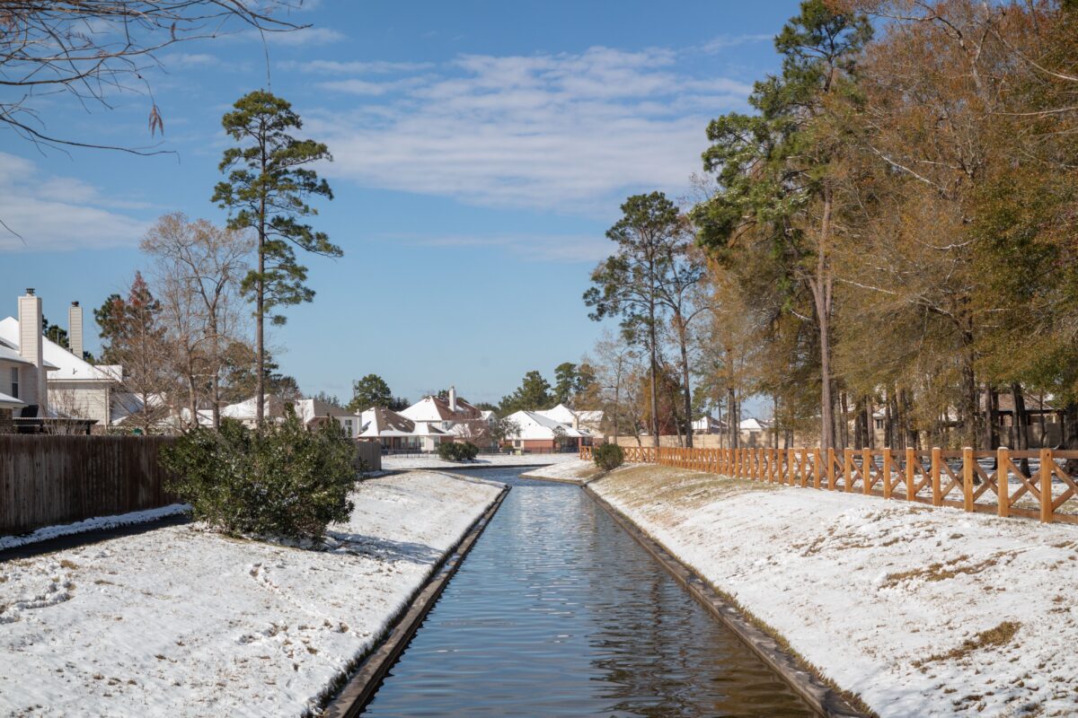
The past 10 days brought Houston its coldest weather of the 2025-2026 winter season. Residents endured seven nights with freezing temperatures and four where lows plunged into the 20s. This sharp chill followed a record-warm early January, creating a stark contrast as later weeks cooled dramatically.[1]
Forecasters now signal the end of this deep freeze. While February remains early, the latest models suggest no immediate return to such lows. Areas like Conroe, often cooler than the city core, should stay above freezing in the near term.[1]
Short-Term Forecast Brings Mixed Conditions
Tuesday unfolded with morning temperatures near 60 degrees amid humid air. Highs climbed to around 70 degrees under mostly cloudy skies, accompanied by breezy southerly winds that gusted in the afternoon. Scattered light showers dotted the day, organizing into a line of showers and thunderstorms north of the city by evening.[1]
A front swept through overnight, clearing lingering rains before dawn. Wednesday dawned sunny and cooler, with highs in the low 60s and gusty northerly breezes. Lows settled around 40 degrees citywide. Thursday mirrored the mild trend, offering another sunny day with lighter winds and highs in the low 60s, followed by mid-40s lows.[1]
Exceptional Weekend Beckons Outdoors Enthusiasts
The weekend stands out as a highlight, perfect for parks, events, and sports. Friday highs reached about 70 degrees, escalating to the mid-70s by Sunday under mostly sunny skies. Overnight lows stayed comfortable in the 50s within drier air.[1]
Expect minimal disruptions, though slight cloud increases may appear late Sunday. This stretch provides a welcome respite, ideal for shaking off winter cabin fever.
Extended Outlook Points to Persistent Mildness
Next week maintains the warming trajectory, with highs mostly in the 70s and lows near 60 degrees. Scattered clouds and isolated showers could pop up, but no major storms loom. A weaker front might approach late in the week without ushering in cold air.[1]
Through February 9-15, above-normal temperatures prevail, according to outlook maps. Rumors of severe winter events around Valentine’s Day appear unfounded.
| Day | High (°F) | Low (°F) | Conditions |
|---|---|---|---|
| Tuesday (Feb 3) | 70 | Upper 40s | Cloudy, showers |
| Wednesday | Low 60s | ~40 | Sunny, breezy |
| Thursday | Low 60s | Mid-40s | Sunny |
| Friday-Sunday | 70 to mid-70s | 50s | Mostly sunny |
Key Takeaways
- Houston’s coldest winter spell ends with no freezes imminent.
- Weekend highs hit the 70s under clear skies.
- Mild 70s persist into mid-February with low rain risk.
Houstonians now look forward to sustained comfort, freeing up calendars for outdoor pursuits. What are your plans for this warm weekend? Share in the comments.
- Urban Coyotes Show Remarkable Adaptability, Learning to Thrive in City Environments - July 22, 2026
- Beavers Are Nature’s Engineers, Creating Vital Habitats for Other Wildlife Species - July 21, 2026
- The Recovery of the California Condor Offers Hope for Other Critically Endangered Birds - July 21, 2026