Wednesday’s Warmth Teased Records (Image Credits: Fox2now.com)
St. Louis – After nearing a record high on Wednesday, the region faces showers, thunderstorms and potential severe weather on Thursday.[1][2]
Wednesday’s Warmth Teased Records
Temperatures in St. Louis reached 73 degrees Fahrenheit on Wednesday, coming close but not quite matching the record high for the day.
This mild spell heightened concerns over fire risks across the area. Officials urged residents to avoid outdoor burning amid persistent dry conditions.[1]
Fire Dangers Linger Into Thursday
Elevated fire danger continues, particularly in areas to the south. A Red Flag Warning covers southern regions due to low humidity, dry ground and rising winds.
These factors could spark and rapidly spread fires. Authorities again discourage any outdoor burning to prevent incidents.[2][1]
Showers and Storms Build Through the Morning
Thursday unfolds as a milder but unsettled day. Rain showers begin developing west of St. Louis around 8 a.m.
Thunderstorms may form near the metro area between 10 a.m. and noon. Small hail represents a possible hazard in these initial storms.[1]
Storms push eastward, gaining strength upon crossing into Illinois. The metro carries a marginal risk, rated 1 out of 5, while threats escalate further east.[2]
Severe Weather Targets Eastern Illinois Counties
Unstable air fuels stronger storms east of the Mississippi River Thursday afternoon. Winds up to 60 mph, quarter-sized hail and isolated tornadoes pose the greatest threats.
The prime window spans 1 p.m. to 4 p.m. in far eastern counties including Montgomery, Fayette, Bond and Marion.[1]
- Montgomery County
- Fayette County
- Bond County
- Marion County
A level 2 out of 5 severe risk applies to these areas from 1 p.m. to 6 p.m. Residents should stay weather-aware during this period.[2]
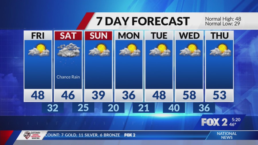
Cold Front Ushers in Chilly Weekend
Gusty west winds accompany colder air overnight. Mornings Friday dip into the 30s, with highs reaching only the upper 40s.
A weak system brushes south Saturday, limiting precipitation chances. Cooler conditions persist through the weekend.[1]
Key Takeaways
- Showers start west of St. Louis by 8 a.m.; metro thunderstorms 10 a.m.-noon.
- Severe risks peak 1-4 p.m. in eastern Illinois counties: 60 mph winds, hail, tornado possible.
- Red Flag Warning south; avoid outdoor burning. Colder air Friday.
The quick shift from warmth to storms underscores the Midwest’s variable weather. Monitor updates closely today. What are your plans if storms hit? Share in the comments.
- Urban Coyotes Show Remarkable Adaptability, Learning to Thrive in City Environments - July 22, 2026
- Beavers Are Nature’s Engineers, Creating Vital Habitats for Other Wildlife Species - July 21, 2026
- The Recovery of the California Condor Offers Hope for Other Critically Endangered Birds - July 21, 2026