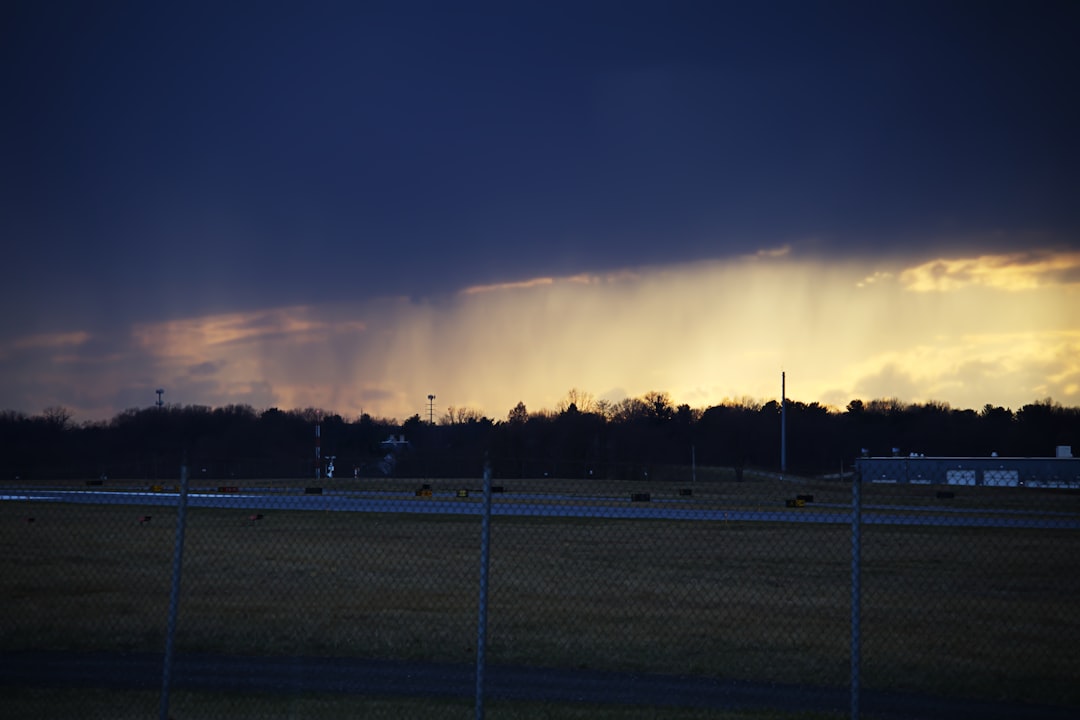
Morning Storms Retreat Steadily (Image Credits: Unsplash)
St. Louis – Widespread rain accompanied by thunder rolled through the region Saturday morning, prompting many to delay outdoor activities. The precipitation is now easing from west to east, paving the way for a noticeable cool-down. Afternoon highs will dip into the low to mid 50s, replacing earlier 60s readings, while gusty winds heighten the chill through evening.
Morning Storms Retreat Steadily
The day began with steady rain and scattered thunderstorms blanketing St. Louis. These conditions created slick roads and brief disruptions for commuters and early risers. Forecasters noted the system’s progression, with drier air filtering in from the west.
By late morning, the heaviest activity had shifted eastward, leaving behind mostly cloudy skies. Pockets of lingering showers remained possible in eastern suburbs, but widespread clearing was underway. This transition offered relief after the initial wet start.
Temperatures Plunge with Incoming Cool Air
A fresh influx of cooler air followed closely behind the departing rain. Highs that hovered in the 60s early on tumbled toward the low to mid 50s by afternoon. The drop created a stark contrast, catching some residents off guard.
This cooling trend reflected a classic post-frontal pattern common in spring. Daytime warmth gave way to more comfortable, yet brisk, conditions. Evening lows promised to settle even lower, emphasizing the shift.
Gusty Winds Add to the Brisk Feel
Winds picked up strength through the afternoon and into the evening, delivering gusts capable of rustling leaves and flags. These breezes amplified the chill, making outdoor time feel cooler than thermometers indicated. Mariners and cyclists took note of the advisory-level speeds.
The gusty flow originated from the cooler air mass, sustaining the uncomfortable edge. Urban areas experienced intermittent stronger bursts, while open fields saw the most consistent push. Conditions eased slightly after sunset, but the overall tone stayed chilly.
Resident Preparation Tips for the Change
Locals adjusted plans amid the evolving forecast. Light jackets replaced t-shirts as the cool front advanced. Outdoor enthusiasts packed extra layers for parks and trails.
Simple steps helped navigate the shift:
- Layer clothing to handle temperature swings from morning to afternoon.
- Secure lightweight patio items against gusty winds.
- Allow extra travel time on wet roads during the morning commute.
- Opt for warm beverages and hearty meals to combat the evening chill.
- Check local updates for any lingering shower risks eastward.
Key Takeaways from the Forecast
- Rain and thunder exit west to east, clearing by midday.
- Afternoon highs fall to low-mid 50s with gusty winds.
- Chilly evening ahead; layers recommended for comfort.
The weather pattern underscored spring’s variability in St. Louis, blending wet starts with refreshing cools. Residents who embraced the change enjoyed a cleaner, crisper close to the weekend. What are your go-to tips for handling sudden cool-downs? Share in the comments below.
- Urban Coyotes Show Remarkable Adaptability, Learning to Thrive in City Environments - July 22, 2026
- Beavers Are Nature’s Engineers, Creating Vital Habitats for Other Wildlife Species - July 21, 2026
- The Recovery of the California Condor Offers Hope for Other Critically Endangered Birds - July 21, 2026