Imagine waking up to find your doorstep inches closer to the ocean, not because the sea rose overnight, but because the ground beneath your feet gave way. Across the United States, coastal powerhouses are grappling with subsidence, a sneaky process where land sinks due to groundwater extraction, ancient glacial rebound, and the sheer weight of urban sprawl. These cities, home to millions, face amplified flood risks as sinking land meets rising seas.
Let’s dive into the top 10 major ones, where satellite data reveals the stark reality. The numbers might surprise you, painting a picture of vulnerability that’s hard to ignore.[1][2]
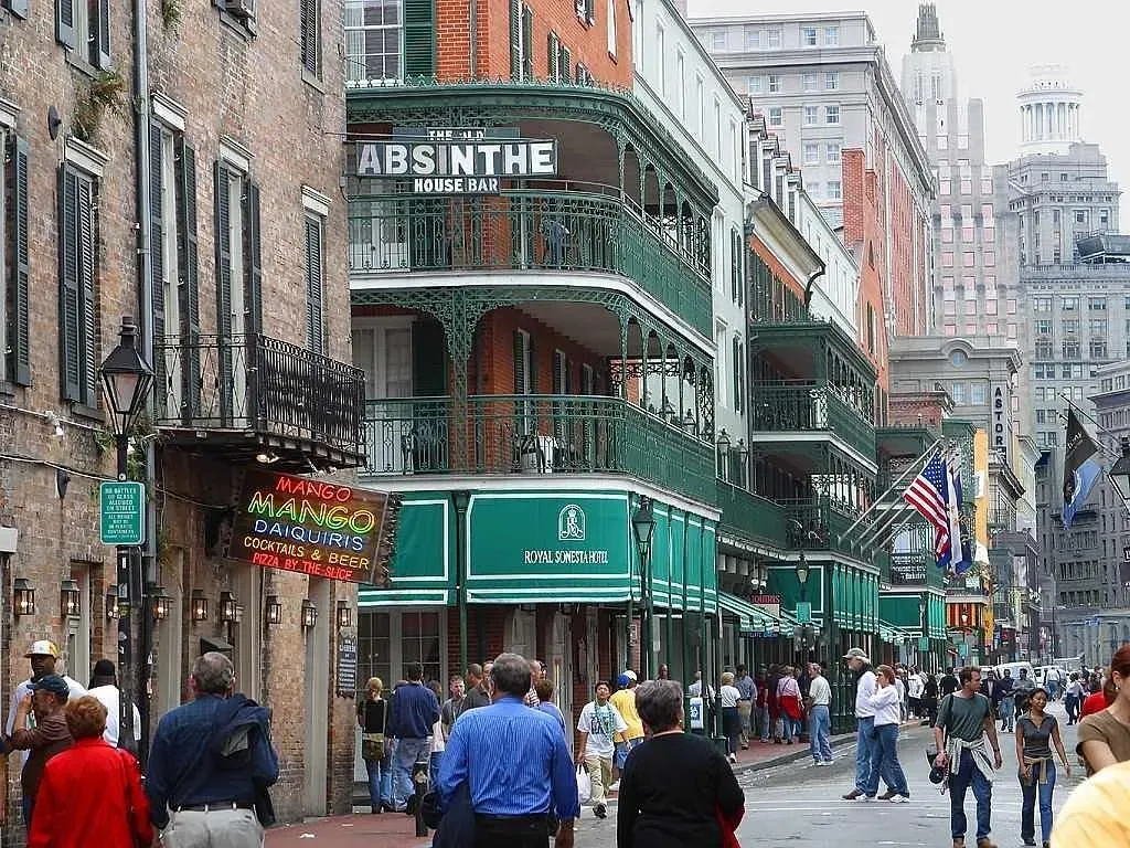
New York City, New York
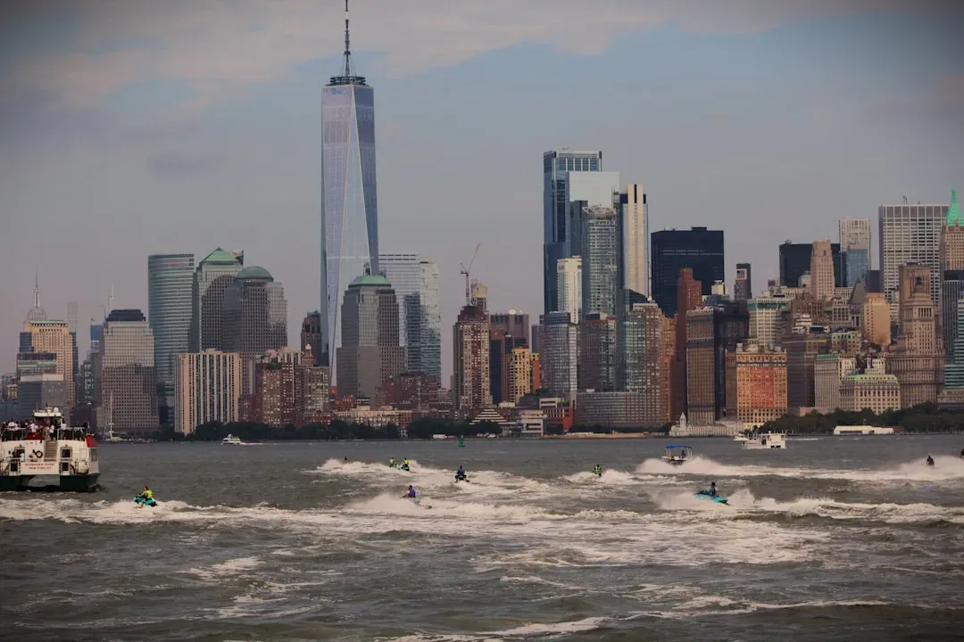
Here’s the thing about the Big Apple: it’s sinking at around 1.5 to 2.4 millimeters per year, with hotspots like its airports dropping even faster. JFK sinks at 1.7 mm annually, LaGuardia at 1.5 mm, and Newark close behind at 1.4 mm, forcing upgrades like flood walls and pumps at LaGuardia to combat the threat.[1][3] Over a million buildings press down, compressing the soil beneath this dense metropolis.
That slow creep amplifies sea level rise, turning everyday high tides into nuisances and storms into disasters. I think it’s wild how this glacial isostatic adjustment from the last Ice Age still haunts the Northeast, making flood projections even grimmer without action.[4]
Houston, Texas
Houston leads the pack in subsidence drama, averaging a whopping 5.2 mm per year sinking, with some spots plunging over 10 mm annually. Groundwater pumping for this booming energy hub compacts the soil irreversibly, while oil and gas activities stir the pot further. Vast swaths of the city, nearly 40 percent, subside faster than 5 mm yearly, straining roads and pipes.
Though not right on the beach, its coastal metro status puts it in the crosshairs, worsening Gulf storm surges. Let’s be real, this Texas giant’s vulnerability hits hard when you consider the millions living there, facing skyrocketing flood insurance costs.[3][4]
Miami, Florida
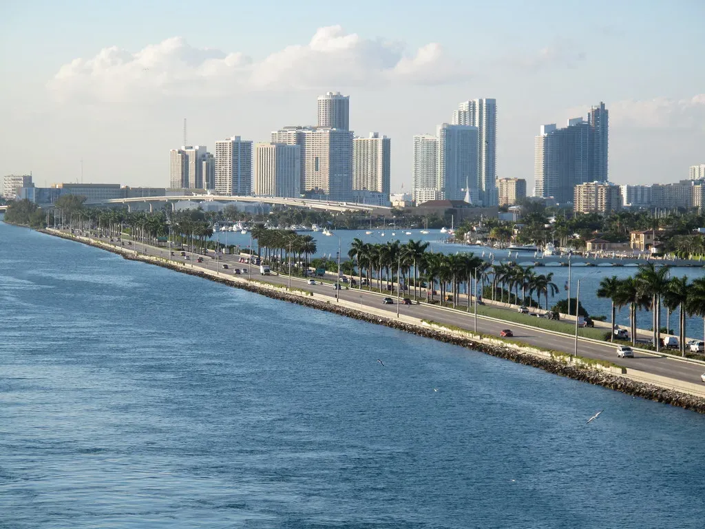
Sunny Miami sees mainland subsidence around 0.5 mm per year, but barrier islands with luxury high-rises sink quicker from construction vibrations nearby. This flashy city, already battling “sunny day” flooding, gets an extra punch from the dropping land. Overdevelopment disrupts underground layers, tilting buildings in spots.
Sea level rise here feels personal, with streets turning into rivers during king tides. Honestly, it’s a wake-up call for a place built on porous limestone that’s no match for the combo of sinking and swelling oceans.[1][4]
New Orleans, Louisiana
New Orleans subsides at about 1.3 mm per year, but its low-lying delta position makes every millimeter count. Nearly all properties, 99.6 percent, face flood risk in the next three decades, a legacy of sediment compaction and levee-induced changes. The city’s history with Katrina underscores how subsidence turns manageable rises into catastrophes.
Pumping out groundwater and oil extraction accelerate the drop, leaving this cultural gem fighting for dry ground. It’s hard to say for sure without more recharge efforts, but the stakes feel sky-high for residents here.[1][2]
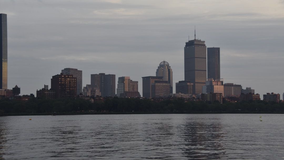
Boston, Massachusetts
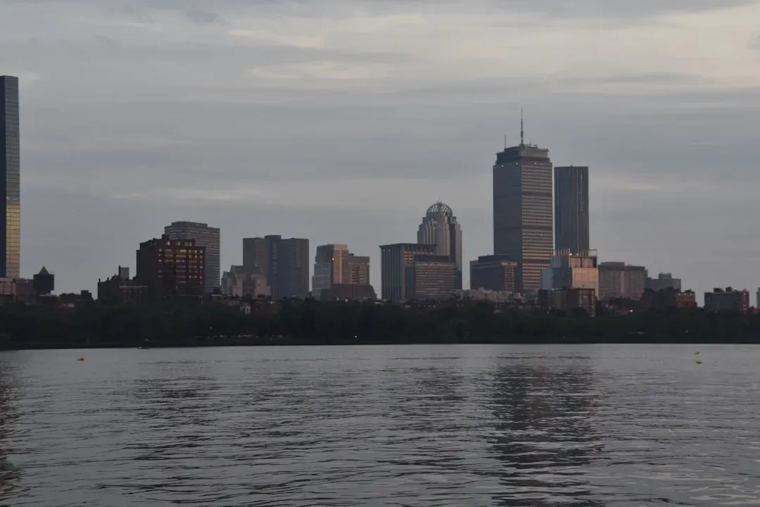
Boston’s subsidence varies wildly, from 1 mm to nearly 4 mm per year in patches, stressing aging infrastructure across the harbor city. This historic hub, built on filled land, feels the pinch from uneven sinking that warps bridges and tunnels. Satellite radar paints a patchy picture of risk in this tech-savvy town.
Combined with Atlantic sea rise, it boosts tidal flood frequency, much like a slow-motion earthquake underfoot. Still, Boston’s planners are ahead, eyeing elevations for new builds amid the rebound from ancient ice.[1][5]
Charleston, South Carolina
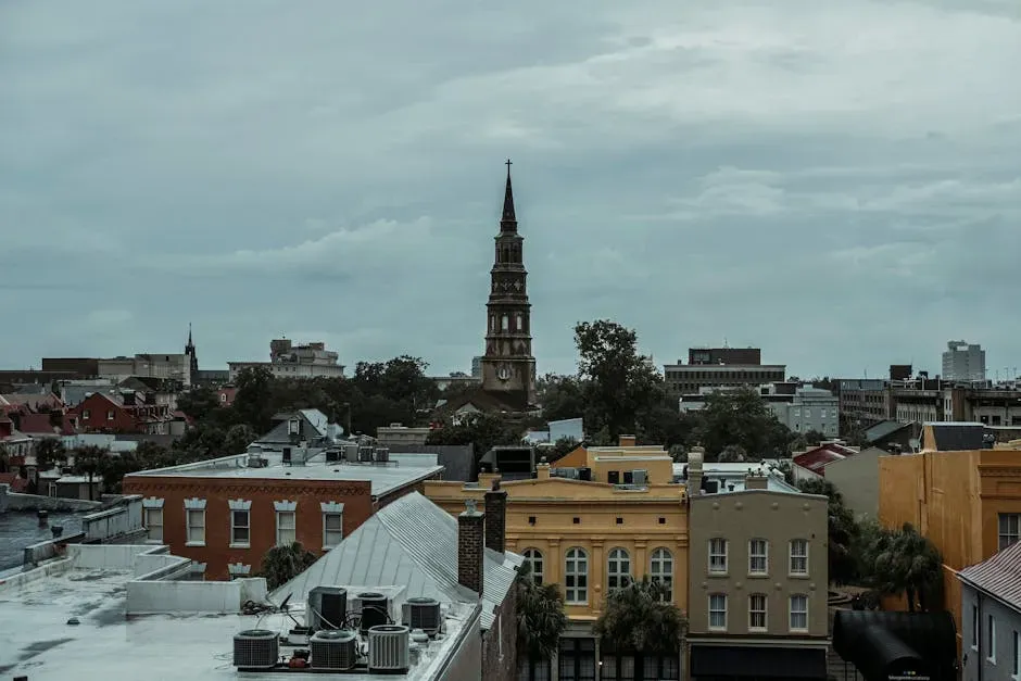
Charleston’s median sink rate hits 2.2 mm per year, spiking to 6 mm in areas, endangering its charming peninsula squeezed by two rivers. This port city sees subsidence outpacing sea rise in spots, flooding streets more often. Over five mm yearly in key zones amplifies hurricane threats.
Vulnerable homes cluster in sinking hotspots, hitting lower-income neighborhoods hardest. I know it sounds crazy, but this Southern belle’s graceful decay demands urgent seawalls and smarter water use.[1][2]
Virginia Beach, Virginia
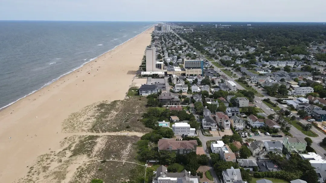
At 2.2 mm per year, Virginia Beach sinks steadily, fueling local worries over encroaching tides in this resort town. Voters approved a half-billion-dollar plan in 2021 for barriers against the dual threat of land drop and sea climb. Nearby Norfolk, a naval powerhouse, shares the subsidence blues.
Storm surges hit harder as ground levels fall, soaking military bases and homes alike. Here’s the kicker: mid-Atlantic ice sheet echoes keep this coast on edge, demanding resilient designs now.[1]
Galveston, Texas
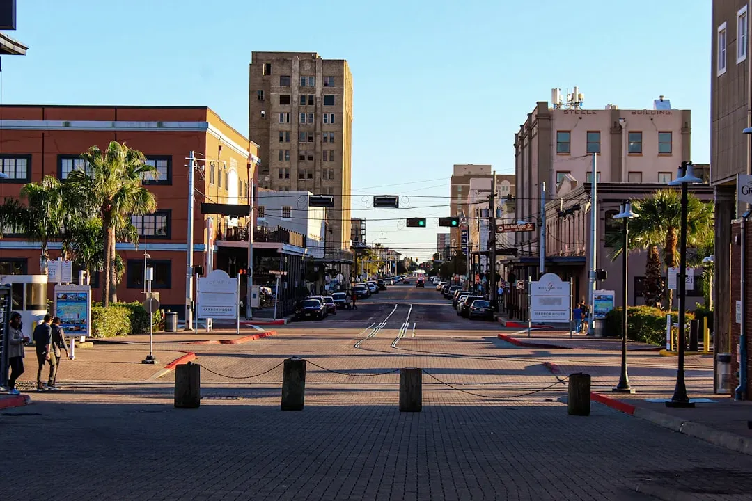
Galveston plunges over 4 mm per year, outstripping many peers and heightening Gulf Coast perils. Tied to Houston’s groundwater woes, this island city battles erosion and floods routinely. Barrier island life turns precarious with every inch lost.
Properties face chronic inundation, pushing adaptation like elevated structures. Though small, its role in Texas shipping makes the sink a big deal for the economy.[1][2]
Jacksonville, Florida
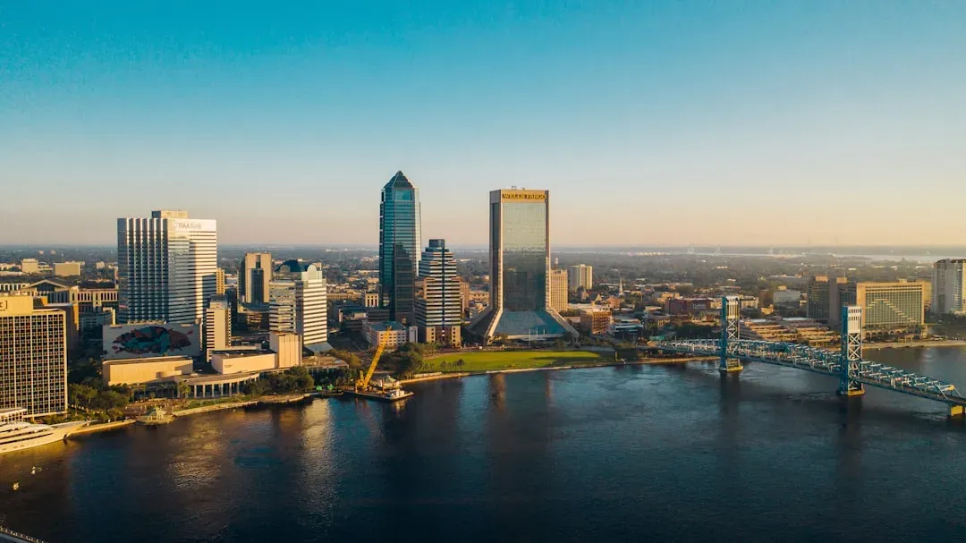
Jacksonville shows slight uplift overall at 0.45 mm per year in some data, but pockets sink, complicating flood maps for this sprawling port. As one of Florida’s largest, subsidence variability affects riverfront developments. Sea rise dominates, yet land motion tweaks the math.
Urban growth presses down, mirroring national trends in aquifer strain. It’s a subtle threat, but one that could tip bridges and roads over time.[3][2]
San Diego, California
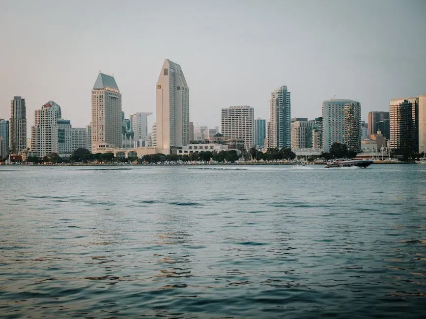
San Diego sinks at 1.1 mm per year, a modest rate that still boosts Pacific storm surge risks in this sunny naval hub. Tectonic tweaks and groundwater pulls contribute, layering on sea level pressures. Coastal bluffs erode faster with the drop.
Military installations and beaches bear the brunt, prompting erosion controls. Compared to Gulf peers, it’s slower, but cumulative effects worry long-term planners.[5][3]
These sinking sentinels highlight a national crisis where land loss meets ocean gain, threatening homes, economies, and histories. From Texas bays to New England harbors, the call for aquifer recharge, tougher building codes, and green barriers grows louder. What surprises you most about your coastal backyard?
- 12 Fascinating Creatures Discovered in the Deepest Parts of the Ocean - June 21, 2026
- 12 Amazing Ways Animals Adapt to Extreme Cold - June 21, 2026
- 9 Times Humans Accidentally Triggered Animal Attacks – and What We Learned - June 21, 2026