St. Louis – After a weekend marked by lingering clouds and scattered showers, residents can expect a noticeable shift toward milder and drier conditions early in the week. The change offers a brief window for outdoor plans before unsettled weather returns. Forecasters point to a steady warmup that peaks on Tuesday, followed by increasing rain chances later that day.
Monday Brings Relief and Rising Temperatures
Clear skies are expected to replace Sunday’s overcast conditions, allowing temperatures to climb steadily through the afternoon. Highs should reach the mid to upper 70s across the metro area, a comfortable jump that many will welcome after recent cooler spells. The improvement should make for pleasant commutes and easier errands without the need for umbrellas or extra layers. This pattern sets up a gradual transition rather than an abrupt change. Morning lows will start in the 50s before the sun takes over and pushes readings higher. The result is a day that feels more like early spring than late winter, giving people a chance to enjoy parks, patios, and other open spaces without weather interruptions.
Tuesday Peaks Warm Before the Shift
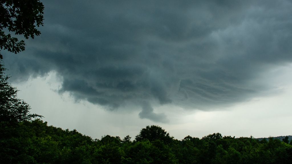
Tuesday opens with mild morning temperatures in the 50s, setting the stage for the warmest day of the stretch. Afternoon highs are forecast to reach the low 80s, creating the kind of conditions that encourage lighter clothing and more time outside. The warmth arrives just as many begin thinking about spring activities and seasonal transitions. Yet the pleasant stretch carries a clear expiration. By late afternoon or evening, moisture returns from the west and begins to interact with the warmer air mass. That combination raises the odds for showers and thunderstorms, particularly after sunset.
Key Developments to Monitor
The incoming rain and storms will arrive with several practical effects worth tracking: – Outdoor events scheduled for Tuesday evening may need backup plans or earlier start times.
– Drivers should prepare for potentially slick roads once showers begin.
– Gardeners and homeowners can use the morning warmth for quick tasks before the weather turns.
– Pet owners may want to limit evening walks once lightning becomes possible. These changes remain typical for the season, but they arrive after several days of mostly dry weather. The contrast could catch some off guard if plans extend past midday.
Looking Ahead After the Front
Once the Tuesday system moves through, cooler air is likely to follow and reset temperatures closer to seasonal averages. The brief warmup serves as a reminder that spring in the Midwest often features rapid swings rather than steady progress. Residents who adjust schedules now can make the most of the milder stretch while staying ready for the next round of showers.
As a little kid, I fell in love with nature, wildlife, and animals. Living in the USA, South Africa, Italy, China and Germany gave me the opportunity to discover the world's Wildlife. My favorite animals are Mountain Gorillas, Siberian Tigers, and Great White Sharks.
I'm a certified PADI Open Water Diver, went to Everest Base Camp and Trekked Gorillas in Uganda. I hold a Master of Science in Economics and Finance.
Please send any feedback to feedback@animalsaroundtheglobe.com
- 14 Times Nature Reclaimed Civilization - July 31, 2026
- 15 Beginner-Friendly Horse Breeds Trainers Actually Trust - July 31, 2026
- 15 Most Powerful Earthquakes Ever Recorded - July 31, 2026