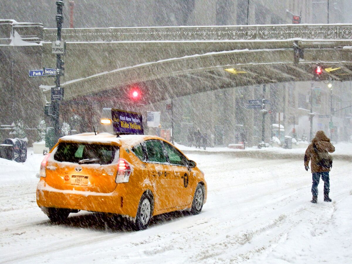
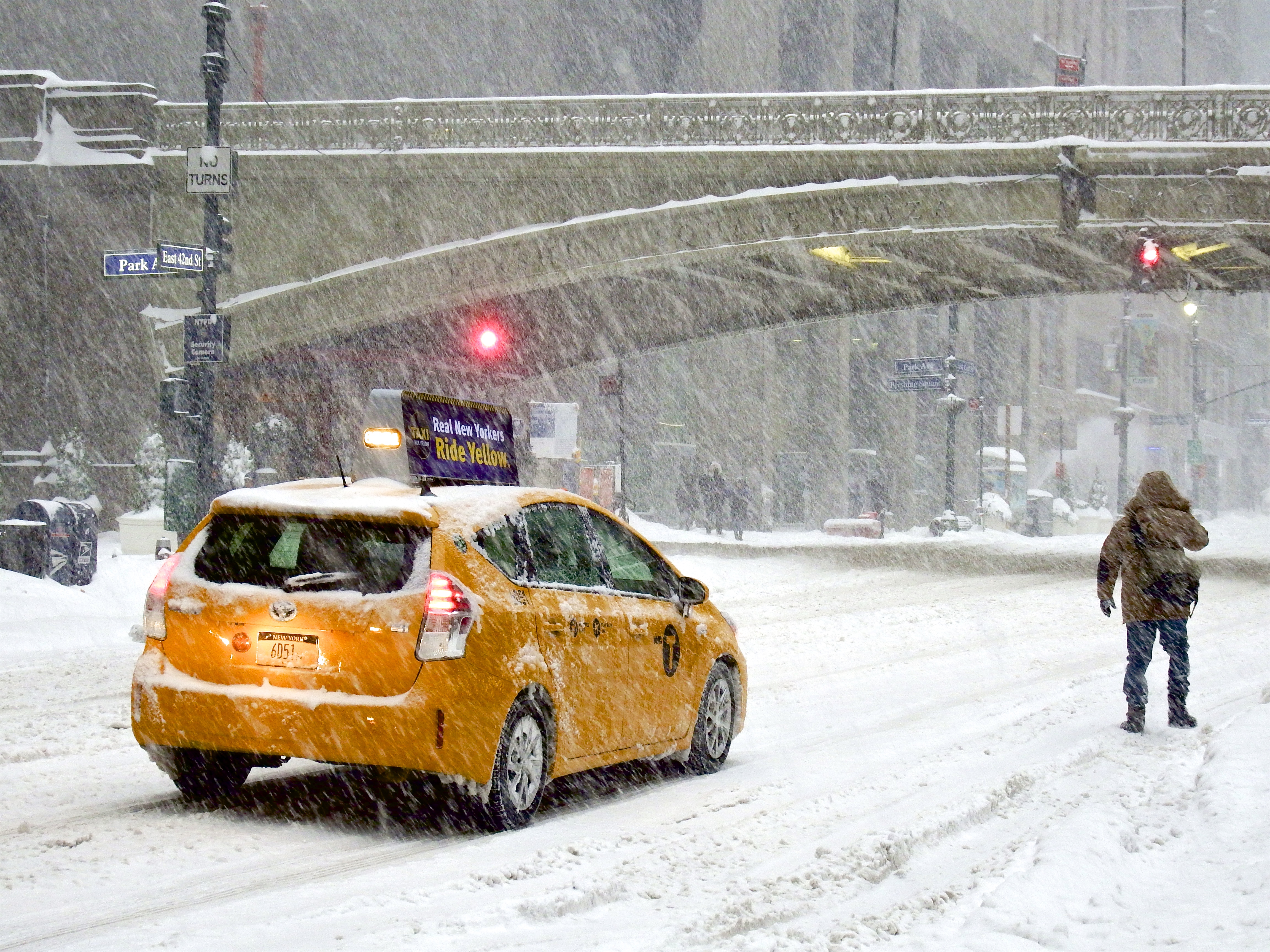
Warnings Reach Near-Record Levels (Image Credits: Upload.wikimedia.org)
Central and eastern United States – A powerful Arctic air mass swept across much of the nation east of the Rockies, ushering in heavy snow, sleet, freezing rain, and dangerously low temperatures from late January into early February.
Warnings Reach Near-Record Levels
Nearly all areas east of the Rockies faced winter weather watches or warnings by midday on January 23, signaling one of the broadest winter threats in recent memory.
The National Weather Service office for the Washington, D.C., area issued a stark alert that Friday. “The combination of heavy snow and ice alongside prolonged very cold temperatures presents a unique and significant risk to life and property across virtually the entire region,” officials stated.
Daryl Herzmann, who leads the Iowa Environmental Mesonet, noted that the number of counties under winter storm warnings ranked as the second highest since 2008. Only a February 2021 event surpassed it slightly. Temperatures plunged near or below zero Fahrenheit from Omaha to Detroit by early afternoon that day, with wind chills even lower.
Key Atmospheric Forces Converge
A classic setup propelled this outbreak, as forecast models like the European and GFS aligned on the pattern days in advance. High pressure over North Dakota amplified the push of frigid air southward.
Several elements combined to intensify the storm:
- A vast polar air mass at the surface racing south across the Plains.
- Two upper-level troughs—one over central Canada and another off western Mexico—aligning over the central U.S. to trigger lift for precipitation.
- Abundant moisture from record-warm Gulf of Mexico sea surface temperatures feeding into the system aloft.
Farther up, the stratospheric polar vortex stretched dramatically from the high Arctic toward central Canada. Researchers have linked such elongations to more frequent cold surges amid Arctic amplification.
Snow and Ice Bands Take Shape
Forecasters grappled with pinpointing the heaviest precipitation zones, from the Southern Plains to the Northeast. Initial model runs hinted at record snowfalls in spots like Oklahoma City and Nashville, but later adjustments tempered those projections.
Significant accumulations of six to 12 inches emerged as likely along the I-95 corridor from Washington, D.C., to Boston, with higher amounts inland. Sleet and freezing rain threatened to mix in near coasts, limiting totals there. A damaging ice storm loomed from eastern Texas through parts of Arkansas, Mississippi, Alabama, Georgia, and North Carolina. Cold-air damming against the Appalachians trapped frigid surface conditions, enhancing ice risks in Virginia and the Carolinas. In Raleigh, forecasters urged preparation: “We need you to prepare for a few days or possibly more of no power.”
Disruptions Follow a Mild Winter Prelude
This blast followed an unusually tame start to the season, with the past 30 days warmer than average nationwide and snow cover at just 25% of the contiguous U.S.—the lowest for late January since 2003.
Potential fallout included power outages, travel chaos, and business shutdowns, especially where subfreezing stretches could last days. Multiple days below freezing loomed as far south as Dallas-Fort Worth, straining grids. In Washington, D.C., consecutive storms might yield seven to 10 days at or below freezing, rivaling rare historical events like the 12-day streak in 1936.
Model hints suggested additional cold shots by month’s end, possibly reinforcing impacts in the mid-Atlantic and Northeast.
Key Takeaways
- Near-record warnings blanketed the eastern U.S., underscoring the event’s scale.
- Gulf moisture atop Arctic air fueled widespread snow and ice threats.
- Prolonged cold could test infrastructure after a snow-scarce winter so far.
This late-January onslaught reminded observers that winter’s grip can tighten suddenly, even in a changing climate. Communities prepared for its reach, from Plains power demands to Northeast travel halts. What impacts did you see in your area? Share in the comments.
- Urban Coyotes Show Remarkable Adaptability, Learning to Thrive in City Environments - July 22, 2026
- Beavers Are Nature’s Engineers, Creating Vital Habitats for Other Wildlife Species - July 21, 2026
- The Recovery of the California Condor Offers Hope for Other Critically Endangered Birds - July 21, 2026