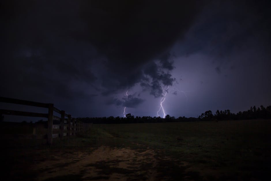
Giant Hail Leads Early Threats in Upper Midwest (Image Credits: Pexels)
Central United States — A persistent weather pattern has set the stage for multiple rounds of severe thunderstorms across the heartland. Tens of millions from Texas to the Great Lakes remain in the path of these spring systems, which forecasters expect to deliver heavy rain, large hail and potential tornadoes at least through Friday.[1] Warm, moist air from the Gulf of Mexico clashes with passing weather systems, fueling the activity in a setup typical for this time of year.[1]
Giant Hail Leads Early Threats in Upper Midwest
The week kicked off with heightened risks in the Upper Mississippi Valley and Great Lakes region. Forecasters highlighted an enhanced risk of severe thunderstorms across southern Minnesota, northern Iowa and parts of Wisconsin on Monday, where supercells could produce hail up to 2 to 3 inches in diameter.[2] Damaging winds and a few tornadoes also loomed possible along frontal boundaries.
This activity stemmed from strengthening winds aloft and high instability levels reaching 2,000 to 2,500 J/kg. Storms clustered late afternoon into evening, raising concerns for upscale growth and widespread wind damage. Meanwhile, isolated severe risks appeared over the southern Plains, including portions of Oklahoma and Texas.[2][3]
Expanded Dangers Peak Midweek Across Heartland
Tuesday brought broader threats, potentially impacting 70 million people as risks spread northeastward. Areas from the Texas Hill Country through the Upper Midwest and Great Lakes saw elevated chances for baseball-sized hail, damaging wind gusts and isolated tornadoes.[1] Flash flooding emerged as a growing concern with repeated downpours.
Wednesday continued the pattern, with severe storms possible from the southern Plains to the Great Lakes. The Storm Prediction Center noted probabilities of 10 percent for tornadoes, 30 percent for hail and 15 percent for damaging winds in key zones.[2] Cities like Chicago, Minneapolis and Milwaukee fell squarely in the crosshairs during the most active stretch from Monday through Wednesday.[1]
Flooding and Wind Hazards Compound the Outlook
Heavy rainfall rates threatened flash flooding, particularly where storms trained over the same spots. Marginal risks appeared Monday in Minnesota and Michigan, then expanded Tuesday and Wednesday across a swath from Texas northeast to the Great Lakes.[1] Melting snowpack in northern areas like Michigan and northeast Wisconsin added to runoff dangers.
Damaging straight-line winds emerged as another primary concern, capable of downing power lines and overturning vehicles. Recent reports included gusts strong enough to flip semis in Kansas and cause roof damage.[3] These threats persisted into Friday ahead of a strong cold front.
Key Hazards at a Glance
| Hazard | Potential Severity | Primary Areas |
|---|---|---|
| Large Hail | 2-3 inches (very large) | Upper Midwest, Plains |
| Damaging Winds | Gusts overturning vehicles | Texas to Great Lakes |
| Tornadoes | Isolated, supercell-driven | Frontal zones, Iowa/Wisconsin |
| Flash Flooding | High rainfall rates | Minnesota, Michigan, Texas Hill Country |
Jared Guyer, a meteorologist at the Storm Prediction Center, described the setup: “The severe weather threat is typical for this time of year. It is being fueled by a steady supply of warm, moist air from the Gulf of Mexico, combined with a daily parade of weather systems.”[1] This combination sustained the multi-day siege.
- Supercells favor large hail in high instability zones.
- Frontal boundaries boost tornado potential with enhanced shear.
- Clustering storms amplify wind and flood risks.
- Friday revives threats ahead of cold front passage.
Key Takeaways
- Monitor local alerts daily as risks shift rapidly.
- Secure outdoor items and avoid flooded roads.
- Expect disruptions through at least Friday.
Residents across the Central U.S. should prioritize safety amid this drawn-out severe weather episode. The pattern underscores spring’s volatile nature in the heartland. What preparations are you making? Share in the comments below.
- Urban Coyotes Show Remarkable Adaptability, Learning to Thrive in City Environments - July 22, 2026
- Beavers Are Nature’s Engineers, Creating Vital Habitats for Other Wildlife Species - July 21, 2026
- The Recovery of the California Condor Offers Hope for Other Critically Endangered Birds - July 21, 2026