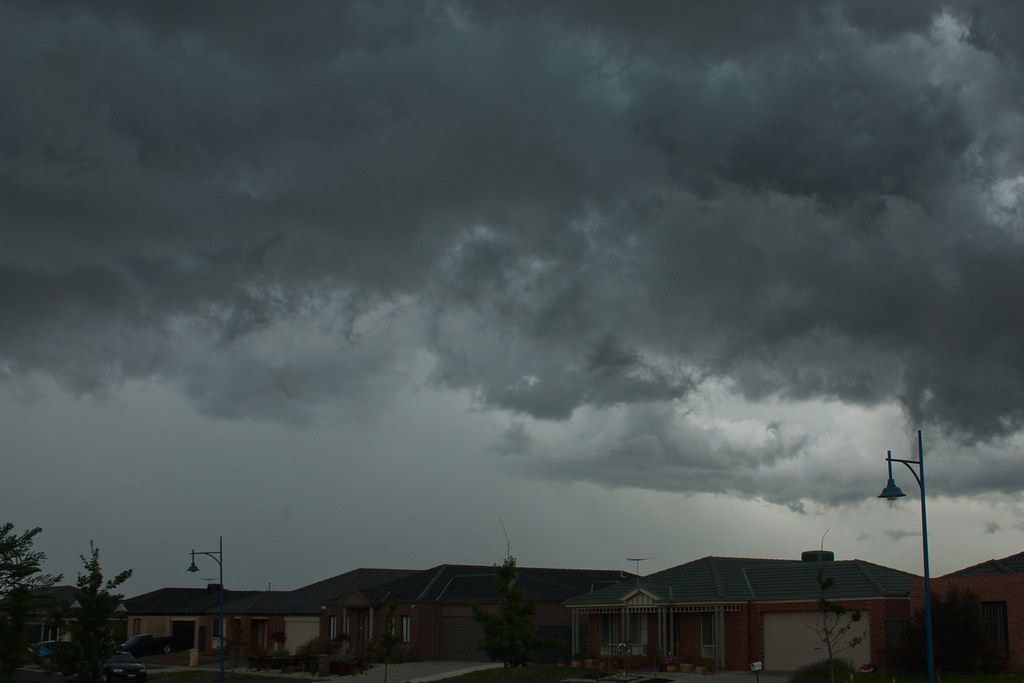
Abrupt Shift from Calm Skies (Image Credits: Flickr)
North Texas – Residents enjoyed a brief respite from recent weather volatility with mild conditions on Thursday, but forecasters warn that strong storms and flash flooding threats will return over the weekend. The National Weather Service and local meteorologists indicate that a quiet pattern is shifting to an active one, bringing daily rain chances through next week. This change could disrupt outdoor plans and travel in the Dallas-Fort Worth area.[1][2]
Abrupt Shift from Calm Skies
The Dallas-Fort Worth region experienced pleasant weather on April 9, with partly cloudy skies and highs reaching the lower 80s. Lows dipped into the mid-50s to low 60s overnight. This marked the final rain-free day before an unsettled pattern took hold.[3]
Forecasters at FOX 4 and CBS Texas noted that isolated storms could appear as early as Friday, though the most significant activity builds Saturday. The Storm Prediction Center highlights elevated risks across the Southern Plains, including North Texas, setting the stage for multiple days of thunderstorms.[4]
Weekend Timeline: When to Expect the Worst
Storm chances ramp up Saturday, with potential for strong thunderstorms, particularly in the western parts of North Texas. Activity becomes more widespread Saturday night into Sunday morning. Sunday stands out as a First Alert Weather Day, featuring disruptive rain in the morning and another round in the afternoon or evening.[3]
The primary severe weather threat peaks Sunday night into Monday, according to the National Weather Service Fort Worth office. A low flash flood risk emerges Sunday evening and overnight, as repeated storms could lead to heavy downpours in short bursts. Conditions may linger into the workweek, with humidity rising by Tuesday and Wednesday.[1][2]
Severe Storm Hazards in Focus
Strong to severe thunderstorms pose the biggest dangers, with damaging winds and small hail as primary concerns. Areas south of U.S. Highway 84 face higher hail risks, while baseball-sized hail remains possible in the most intense cells across Texas. Isolated tornadoes cannot be ruled out, especially amid the multiday pattern.[4]
- Damaging wind gusts: Widespread potential, strongest in supercell thunderstorms.
- Large hail: Up to baseball size in western Texas storms, smaller north.
- Tornadoes: Low but possible, particularly Sunday in the Southern Plains.
- Lightning and gusty outflows: Accompany most storms.
These threats align with NOAA’s outlook for persistent severe weather through midweek. No widespread watches were active as of Thursday evening, but updates are expected.[1]
Flooding Looms Amid Heavy Rains
Flash flooding represents a key secondary hazard, especially where storms stall or train over the same areas. The low-level threat intensifies Sunday night, potentially affecting urban zones, creeks, and low-lying roads in the Metroplex. Past events remind locals of rapid rises in waterways during similar setups.[2]
While exact rainfall totals remain uncertain, repeated rounds could yield 1 to 3 inches in spots, heightening risks in already saturated soils. Authorities urge avoiding flooded roads, as even shallow water can prove dangerous. Tree pollen levels, currently very high, may ease post-rainfall.[1]
| Day | High Temp | Rain Chance | Main Threat |
|---|---|---|---|
| Friday | ~80s | Isolated | Storms west |
| Saturday | Mild | Increasing | Severe possible |
| Sunday | Variable | High | Severe, flood |
Looking Ahead: A Wet Week Unfolds
The active weather persists beyond the weekend, with thunderstorm opportunities daily into next week. Monday offers a slight reprieve before chances build again Tuesday. A cold front may sharpen risks midweek, maintaining the pattern’s vigor.
Local agencies recommend securing outdoor items, charging devices, and monitoring updates via FOX 4 or the National Weather Service. Emergency kits with water, flashlights, and non-perishables prove essential in prolonged wet spells.
Key Takeaways
- Sunday marks the peak for severe storms and flooding in North Texas.
- Damaging winds and hail lead threats; stay indoors during warnings.
- Monitor rivers and roads for flash flood dangers Sunday night.
As North Texas transitions from calm to stormy, safety remains paramount amid the forecast’s uncertainties. Heed warnings and adjust plans accordingly. What are your weekend weather contingency plans? Share in the comments below.
- Urban Coyotes Show Remarkable Adaptability, Learning to Thrive in City Environments - July 22, 2026
- Beavers Are Nature’s Engineers, Creating Vital Habitats for Other Wildlife Species - July 21, 2026
- The Recovery of the California Condor Offers Hope for Other Critically Endangered Birds - July 21, 2026