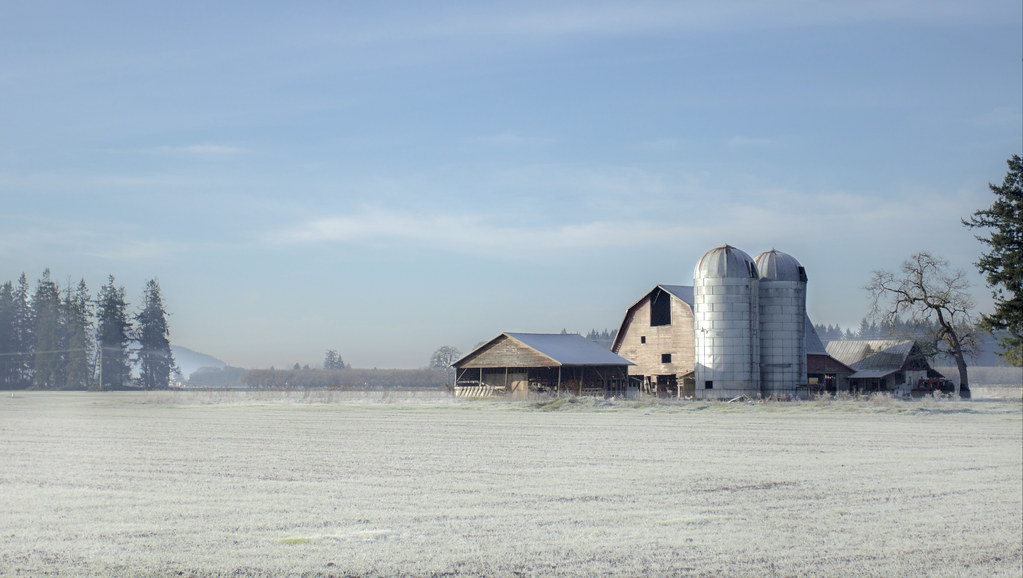
Cold Front Ignites Dramatic Coastal Convection (Image Credits: Flickr)
Pacific Northwest – Modified Arctic air swept into the region on Monday, delivering the coldest temperatures so far this season along with ice pellets in western Washington.
Cold Front Ignites Dramatic Coastal Convection
Frigid air originating from Alaska and northern British Columbia clashed with the warmer Pacific waters, creating towering cumulus clouds and scattered showers.
This unstable atmosphere produced lines of precipitation aligned with prevailing winds, visible across the coastal zones late Monday afternoon. Local radars captured these convective bursts moving onshore, marking the initial wave of winter’s return. Such conditions arise from a steep lapse rate, where cold air near the surface promotes vigorous upward motion and cloud formation.
Mountain Snowfalls Signal Lowering Freezing Levels
Snow began accumulating in higher elevations as temperatures dropped, with reports from Hurricane Ridge in the Olympics around 5,000 feet confirming fresh flakes.
The freezing level hovered near 1,600 feet late Monday, translating to a snow level roughly 600 feet above the surface. Forecasters expect this threshold to descend further over the coming days, enhancing precipitation efficiency in the Cascades and Olympics. These early mountain accumulations preview the broader chill extending downward.
Arctic Surge Poised to Overwhelm the Region
Even colder air masses will funnel southward through southern British Columbia and the Fraser River Valley into western Washington during Tuesday and Wednesday.
Model depictions for Wednesday morning reveal deep purple hues of subzero cold encroaching from the north, placing the Arctic doorstep mere miles away. By early Thursday, widespread low temperatures across Washington will support lowland snow potential, though moisture remains the key variable. This progression promises a stark shift from recent mild patterns.
Lowland Flurries and Valley Chills in Forecast
University of Washington model runs indicate possible snow in lowlands from Tacoma southward through Thursday morning, with minor accumulations in isolated spots.
Similar prospects extend to the Willamette Valley, less buffered by Pacific moderation. Bellingham faces an additional threat from southwest-flowing Arctic air down the Fraser Valley, where ensemble forecasts predict temperatures plunging well below freezing amid gusty winds. Wind chills could dip under zero degrees Fahrenheit, amplifying the bite.
| Location | Key Impacts | Timing |
|---|---|---|
| Mountains (e.g., Olympics) | Snow accumulation, lowering snow level | Ongoing through week |
| Lowlands (Tacoma south) | Possible flurries, minor snow | Wednesday-Thursday |
| Bellingham | Sub-freezing temps, windy chills | Thursday morning |
Key Takeaways
- Cold air over Pacific sparks convective showers and ice pellets.
- Freezing levels drop, boosting mountain snow and lowland chances.
- Arctic influx via Fraser Valley targets Bellingham with extreme chills.
As the Pacific Northwest transitions into this multi-day deep freeze, residents should prepare for slippery roads, potential power strains, and unseasonal cold. Stay updated on local forecasts and bundle up – what’s your plan for the chill? Share in the comments.
- Urban Coyotes Show Remarkable Adaptability, Learning to Thrive in City Environments - July 22, 2026
- Beavers Are Nature’s Engineers, Creating Vital Habitats for Other Wildlife Species - July 21, 2026
- The Recovery of the California Condor Offers Hope for Other Critically Endangered Birds - July 21, 2026