Warm Days Yield to Ominous Skies (Image Credits: Fox2now.com)
St. Louis – A balmy Tuesday nears its record high as powerful thunderstorms gather strength for a late-evening assault on the region.[1]
Warm Days Yield to Ominous Skies
Monday delivered comfortable warmth with temperatures peaking at 78 degrees Fahrenheit, just shy of the daily record. Residents stepped outside without coats for the first time this spring.
Tuesday followed suit, pushing highs into the low 80s under mostly sunny conditions early in the day. The mark of 86 degrees set back in 1955 remains within reach, though clouds began building by afternoon.[1][2]
Storms Build Along Shifting Fronts
Thunderstorms first sparked Tuesday evening north of the city along a lingering warm front. These initial cells carried the greatest punch, fueling severe potential from late afternoon into early night.
After midnight, a cold front swept energy southward, steering storms directly across central Missouri, St. Louis and into Illinois. Activity peaked between 5 p.m. and 11 p.m. Tuesday before easing slightly overnight.[1]
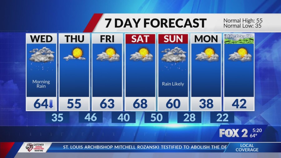
The line pressed onward until roughly 6 a.m. Wednesday, when steadier rain took hold through midday. Behind the front, cooler air arrived, dropping highs into the 60s by afternoon.[3]
Key Hazards in the Forecast
The Storm Prediction Center placed the St. Louis metro under a level 2 out of 5 risk for severe weather, with enhanced threats farther north. Damaging straight-line winds emerged as the top concern locally.
Earlier storms posed risks of tennis ball-sized hail and strong tornadoes in areas from Moberly, Missouri, to Quincy, Illinois, and northward to Peoria. Overnight rounds threatened gusts up to 60 miles per hour, quarter- to golf ball-sized hail and isolated weaker spin-ups rated EF0 or EF1.[1][3]
- Heavy rainfall leading to localized flooding
- Gusty winds snapping tree limbs and downing power lines
- Large hail capable of denting vehicles and shattering windows
- Low but present tornado risk, especially north of Interstate 70
- Flash flooding in low-lying spots during peak downpours
Regional Impacts and Safety Steps
Communities north of St. Louis faced the fiercest activity first, with storms potentially rotating amid unstable air. The Gateway City itself sat on the southern edge, where wind and hail dominated.
Officials urged preparedness amid the warm, humid setup fueling storm development. Residents secured outdoor items and monitored updates from the National Weather Service.
| Time Frame | Main Threats | Areas Most Affected |
|---|---|---|
| 5-11 p.m. Tuesday | Tennis ball hail, strong tornadoes | Moberly to Quincy to Peoria |
| Midnight-6 a.m. Wednesday | 60 mph winds, golf ball hail | St. Louis metro and Illinois |
Post-storm cleanup loomed Wednesday afternoon as skies cleared and winds shifted.
Key Takeaways
- Monitor radar closely tonight; have multiple alert sources ready.
- Avoid flooded roads – turn around, don’t drown.
- Shelter indoors away from windows during peak storm hours.
As the front departs, drier conditions return by Wednesday evening, signaling a shift toward spring norms. Stay vigilant through the overnight hours to navigate this volatile weather safely. What are your plans if storms hit? Share in the comments below.
- Beavers Are Nature’s Engineers, Creating Vital Habitats for Other Wildlife Species - July 21, 2026
- The Recovery of the California Condor Offers Hope for Other Critically Endangered Birds - July 21, 2026
- Bats Play a Crucial Role in Controlling Insect Populations Across the United States - July 21, 2026