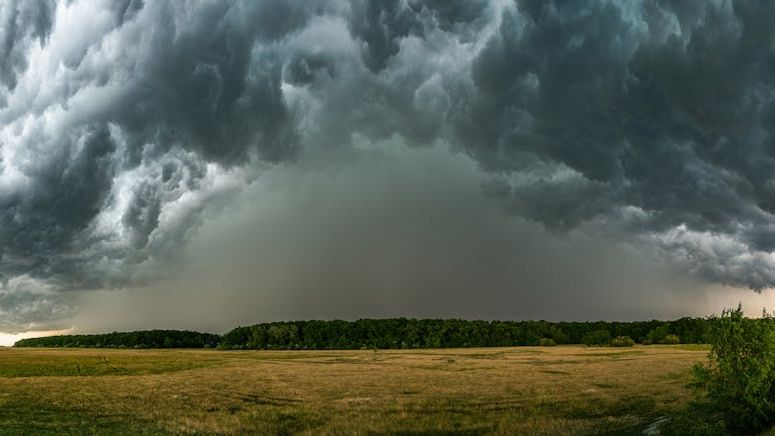
Storm threat looms over DC region with warm-up ahead – Image for illustrative purposes only (Image credits: Pexels)
Washington area residents face a sharp weather contrast this week. Storms expected tonight will deliver rain and gusty winds, yet temperatures will climb rapidly in the days that follow. Highs could reach the low 90s by early next week after starting in the 50s overnight.
Storm Outlook for Wednesday Night
A line of showers and thunderstorms will move through the region after a breezy afternoon. Meteorologists anticipate heavier downpours, thunder, and winds gusting between 20 and 30 mph as the main band arrives. Activity should weaken as it shifts eastward, leaving mostly showers along the I-95 corridor by mid to late evening.
Rain totals are forecast to remain under half an inch in most spots. Lows will drop into the upper 40s to mid-50s once the storms clear. The pattern stems from an approaching cold front that will also introduce a low-level severe weather risk for parts of Northern Virginia and Western Maryland.
Thursday Brings Cooler Air
Thursday opens damp and noticeably cooler under partly to mostly cloudy skies. High temperatures will top out only in the lower 60s, a sharp drop from recent readings. Northwest winds will pick up to 5 to 15 mph with gusts reaching 25 mph at times.
Showers taper off overnight, setting the stage for gradual clearing. The cooler air mass will linger just long enough to provide a brief respite before the next change arrives.
Weekend Temperatures Climb Fast
Conditions turn much warmer starting Friday. Highs will reach the mid-70s under mostly sunny skies, with breezy northwest winds. By Saturday the mercury climbs further into the low to upper 80s, and Sunday could touch 90 degrees in spots.
The warming trend accelerates quickly once the front passes. Southwest winds will help push humidity higher by early next week, when readings may settle in the low to mid-90s.
| Day | High Temperature | Conditions |
|---|---|---|
| Thursday | 60-65 | Partly cloudy, breezy |
| Friday | Around 75 | Mostly sunny |
| Saturday | 83-88 | Mostly sunny |
| Sunday | 85-90 | Mostly sunny |
Preparing for the Change
Residents should keep an umbrella ready for Wednesday evening while checking that air conditioning units are in working order for the coming days. The rapid shift from cool, stormy weather to summer-like heat highlights how quickly spring patterns can evolve in the mid-Atlantic.
Forecasters note that humidity will build alongside the warmth, increasing discomfort levels by Monday and Tuesday. Monitoring updates remains useful as the week progresses.
As a little kid, I fell in love with nature, wildlife, and animals. Living in the USA, South Africa, Italy, China and Germany gave me the opportunity to discover the world's Wildlife. My favorite animals are Mountain Gorillas, Siberian Tigers, and Great White Sharks.
I'm a certified PADI Open Water Diver, went to Everest Base Camp and Trekked Gorillas in Uganda. I hold a Master of Science in Economics and Finance.
Please send any feedback to feedback@animalsaroundtheglobe.com
- 17 Insect Species That Behave Like Mammals - July 20, 2026
- 14 Birds Every American Backyard Should Welcome - July 20, 2026
- 16 Things You Did Not Know About Plains Bison - July 20, 2026