


Volcanic activity can seem remote from our everyday lives, but the United States is home to several volcanic giants that scientists monitor meticulously. These volcanoes hold the power to reshape landscapes, affect climate change, and disrupt lives. In this article, we explore twelve U.S. volcanoes that are under close scientific watch, each with unique characteristics and histories. Join us as we delve into the fascinating world of these majestic molten mountains and the efforts to keep their fiery potential in check.
Mount St. Helens, Washington

Mount St. Helens is notorious for its cataclysmic eruption on May 18, 1980. The explosion obliterated the summit, reduced the height of the volcano by around 1,300 feet, and resulted in widespread destruction. Since then, the volcano has been one of the most intensely monitored in the U.S. Geologists keep an eye on seismic activity and gas emissions to predict any future eruptions. This volcano is part of the Cascade Range, which is known for its active and potentially dangerous volcanoes.
Mount Rainier, Washington
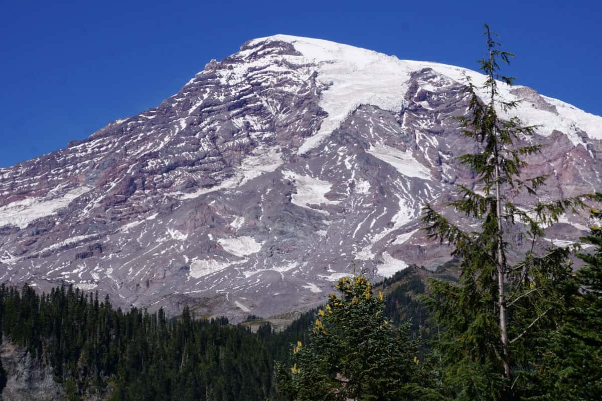
Another notable giant in the Cascade Range is Mount Rainier. Towering over the Seattle-Tacoma metropolitan area, Mount Rainier is considered one of the most dangerous volcanoes in the U.S. due to its massive ice cap. An eruption could lead to devastating lahars—volcanic mudflows—that threaten nearby communities. Continuous monitoring efforts focus on seismic activity, ground deformation, and gas emissions to provide early warning of any potential to future activity.
Yellowstone Caldera, Wyoming
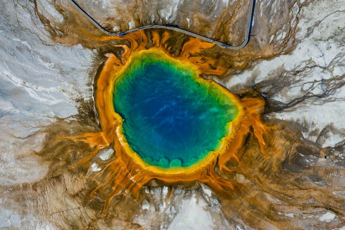
The Yellowstone Caldera, known for its geothermal wonders, sits atop a supervolcano that has had three massive eruptions over the past 2.1 million years. While a cataclysmic event is not imminent, the Yellowstone Volcano Observatory keeps a vigilant eye on ground movements, geyser disruptions, and temperature changes for signs of increased volcanic activity. The caldera remains a scientific curiosity, highlighting the tenuous balance between nature’s beauty and destructive potential.
Mauna Loa, Hawaii

As one of the most massive shield volcanoes on Earth, Mauna Loa covers nearly half of the Big Island of Hawaii. It has erupted 33 times since 1843. Continuous monitoring helps forecast eruptions by analyzing summit deflation and inflation, seismic recordings, and gas emissions. The Hawaii Volcano Observatory plays a crucial role in ensuring the safety of island residents by predicting activities and issuing timely warnings.
Mount Hood, Oregon
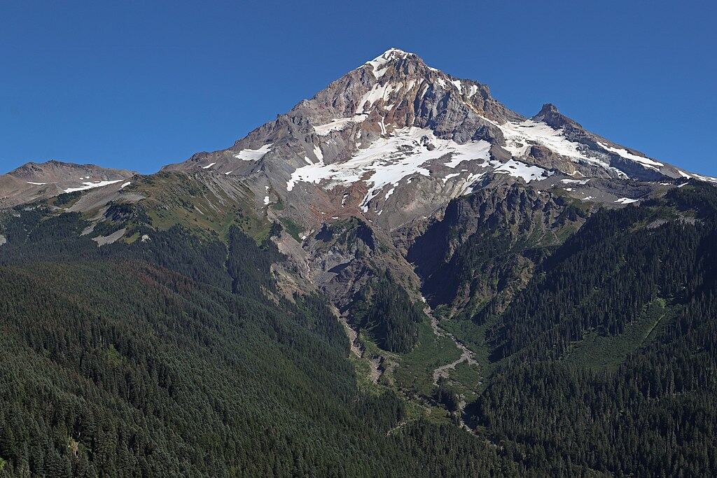
Mount Hood is another formidable peak in the Cascade Range. Last erupting in the mid-1800s, it remains an active volcano with the potential to produce explosive eruptions. Its proximity to populated areas necessitates thorough monitoring. Geologists study seismic patterns, ground swelling, and gas emissions to gauge activity levels. Mount Hood’s last period of increased activity in 2002 underlined the need for vigilant surveillance.
Kilauea, Hawaii
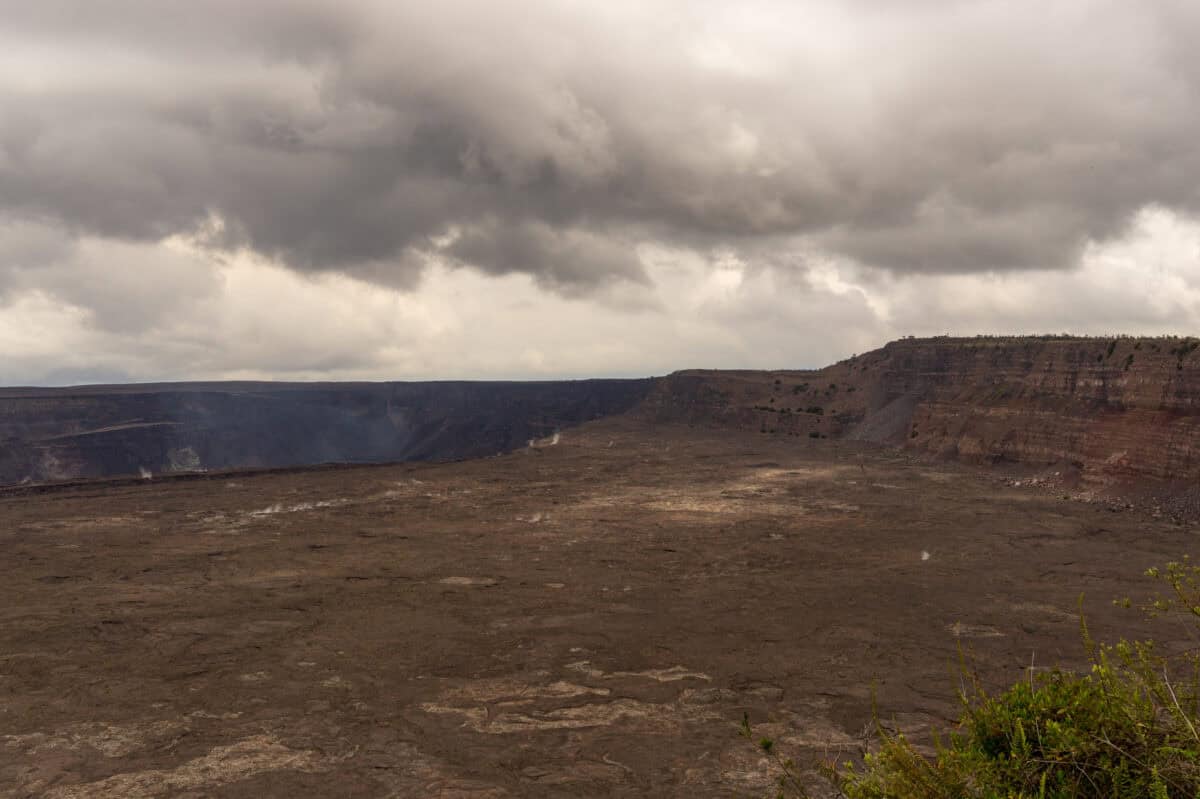
Kilauea is one of the most active volcanoes in the world, and its continuous eruptions have become a symbol of Hawaii’s dynamic natural landscape. The 2018 eruption demonstrated the volcano’s power by destroying hundreds of homes. Monitoring efforts focus on tracking lava flow, ground deformation caused by magma movement, and frequent seismic activity. These efforts aim to provide local communities with warnings in the event of new eruptions.
Mount Shasta, California
Mount Shasta is another towering stratovolcano in the Cascade Range, known for its potential to host both explosive and effusive eruptions. While its last significant eruption was over 200 years ago, the volcano is far from dormant. Consistent monitoring tabs ground deformation, thermal anomalies, and seismic activity to inform mitigation measures, ensuring that this serene-looking peak does not catch residents by surprise.
Mount Baker, Washington
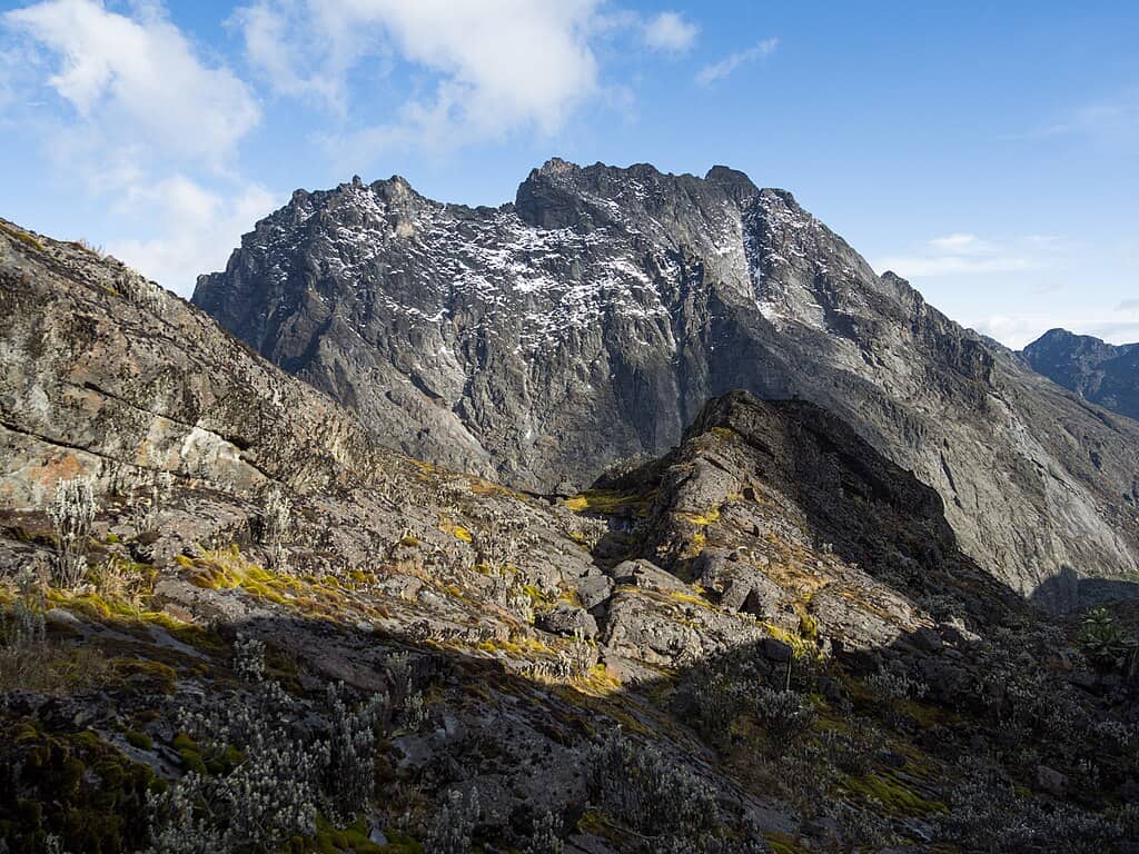
Mount Baker is part of Washington’s volcanic landscape and has been actively steaming since the 1840s. This stratovolcano poses threats of lahars and glacial outburst floods. The U.S. Geological Survey monitors its activity, looking for signs of magmatic intrusion or increased thermal output, ensuring any changes are caught early to minimize risks for the nearby communities.
Crater Lake, Oregon

Crater Lake is the remnant of Mount Mazama’s explosive eruption approximately 7,700 years ago. While Crater Lake itself is a breathtakingly serene sight, it stands atop an active volcanic system. Periodic monitoring efforts focus on measuring seismic activity and hydrothermal alterations, seeking anomalies that might suggest the reawakening of volcanic activity beneath the lake.
Mount McLoughlin, Oregon
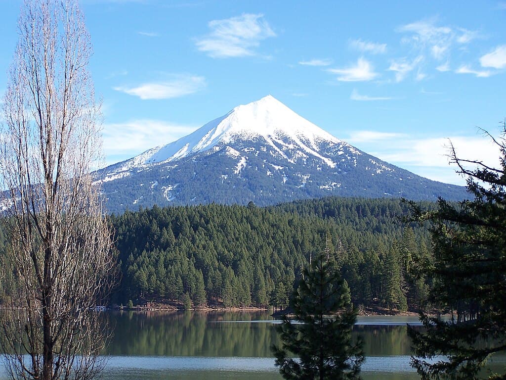
Mount McLoughlin, part of the Cascade Volcanic Arc, has been quiet for centuries, with its last eruption occurring around 30,000 years ago. Despite this, it remains an active volcano with the potential for future eruptions. Monitoring efforts, although less intense relative to other, more active volcanoes, seek to detect any early warning signs through seismic readings, heat flux, and geological studies.
Clear Lake Volcanic Field, California
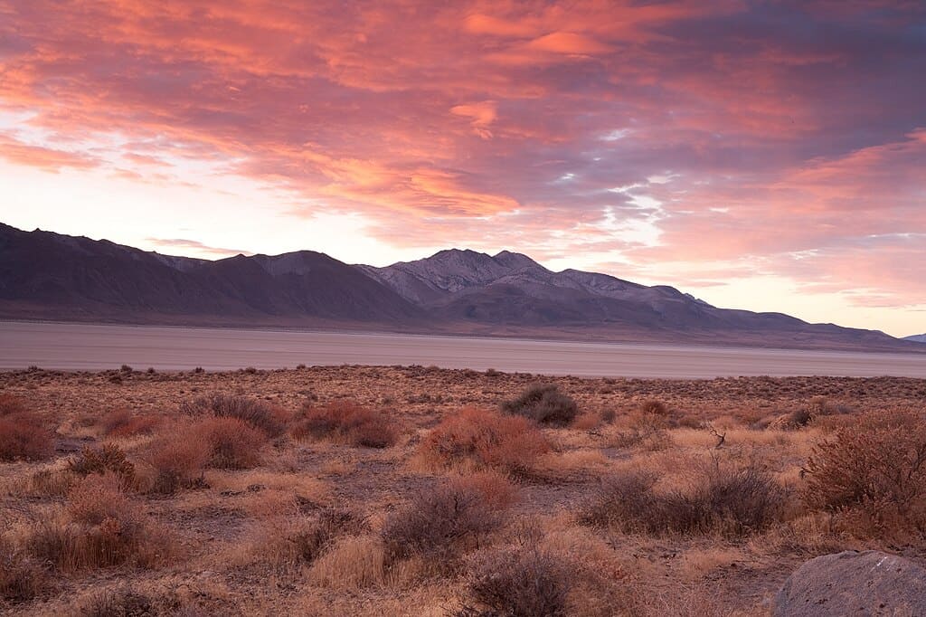
The Clear Lake Volcanic Field is a notable geothermal region in Northern California, with ongoing volcanic activity evident through hot springs and fumaroles. It’s monitored for subtle changes that might indicate a future eruption, though none have occurred in thousands of years. Continuous geological and geophysical research helps assess potential hazards to nearby populated areas.
Mount Spurr, Alaska
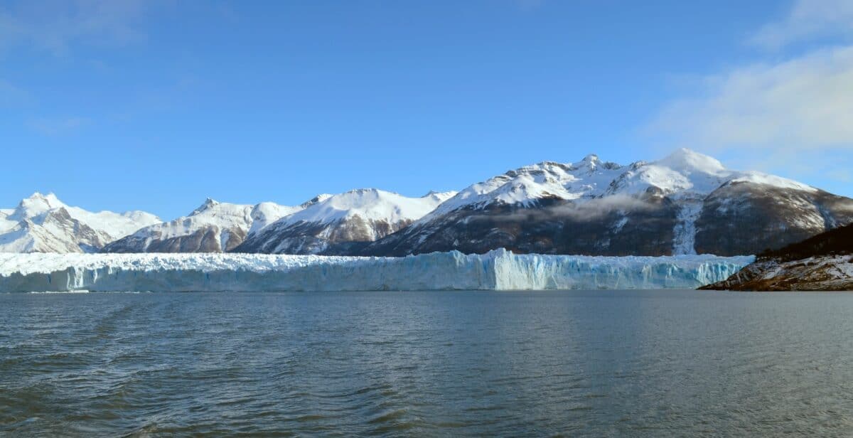
Alaska’s volcanic activity is closely watched due to its potential impact on air travel across the North Pacific. Mount Spurr, part of the Aleutian Volcanic Arc, erupted as recently as 1992. Ongoing monitoring includes seismic activity and satellite observations to identify potential eruptions. Given the remoteness of many Alaskan volcanoes, continuous research aids in predicting activity that might affect global air transport.
Conclusion

In conclusion, the combination of thorough scientific observation and technological advancements helps minimize the risks posed by these dynamic volcanoes. Understanding their behavior is crucial for planning, warning, and preparedness strategies that keep communities safe. While living near these iconic giants involves an acceptance of potential risk, relentless monitoring continues to turn uncertainty into information, protecting lives while allowing us to appreciate these magnificent natural wonders.

As a little kid, I fell in love with nature, wildlife, and animals. Living in the USA, South Africa, Italy, China and Germany gave me the opportunity to discover the world's Wildlife. My favorite animals are Mountain Gorillas, Siberian Tigers, and Great White Sharks.
I'm a certified PADI Open Water Diver, went to Everest Base Camp and Trekked Gorillas in Uganda. I hold a Master of Science in Economics and Finance.
Please send any feedback to feedback@animalsaroundtheglobe.com
- 15 Gardening Tips That Are a Hummingbird’s Nightmare (— Avoid #4 at All Costs) - July 23, 2026
- 15 Most Misunderstood Dog Breeds - July 23, 2026
- 14 Dog Breeds That Do not Need Much Exercise - July 23, 2026