


In the vast, dynamic landscapes of the United States, certain regions are constantly in motion beneath our feet. This geological activity shapes the land, influences ecosystems, and impacts human communities in diverse ways. From the breathtaking beauty of national parks to bustling urban centers, these shifting grounds tell stories of our ever-evolving planet. This article explores 14 notable U.S. regions where the earth’s movement is a constant and intriguing presence.
Understanding Shifting Grounds
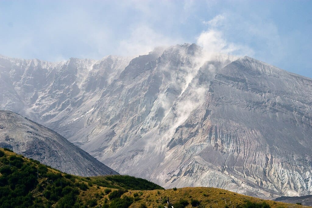
The Earth’s surface is a diverse mosaic of tectonic plates, which are continually moving, colliding, and reshaping the landscapes around us. The shifting grounds we experience are mainly due to these tectonic activities, volcanic processes, and erosion. These natural phenomena have profound effects on the environment and human infrastructure, necessitating a deeper understanding of our restless planet.
The San Andreas Fault, California
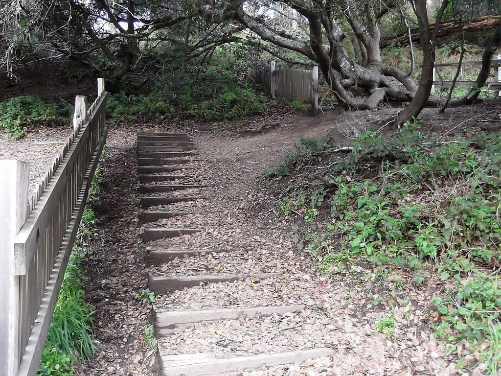
The San Andreas Fault is perhaps the most famous fault line in the United States. Spanning approximately 800 miles through California, this transform fault marks the boundary between the Pacific and North American tectonic plates. Its shifting nature is a significant factor in California’s frequent earthquakes, with historical quakes serving as stark reminders of its formidable presence.
The New Madrid Seismic Zone, Central U.S.
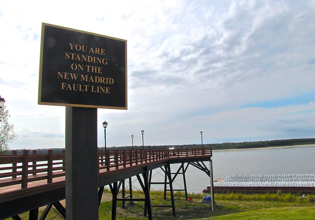
In the central United States, the New Madrid Seismic Zone is an area of intense seismic activity. Notorious for the powerful earthquakes of 1811-1812, this region continues to experience frequent, albeit smaller, quakes. The seismic activity here is linked to ancient rift systems beneath the Mississippi Valley, which remain active to this day.
Yellowstone National Park, Wyoming

Yellowstone National Park sits atop a supervolcano and is renowned for its geothermal features. This region is a hotbed of shifting grounds due to the constant movement of magmatic activity below. The spectacular geysers, hot springs, and fumaroles are surface expressions of this underground dynamic, captivating millions of visitors each year.
The Cascadia Subduction Zone, Pacific Northwest
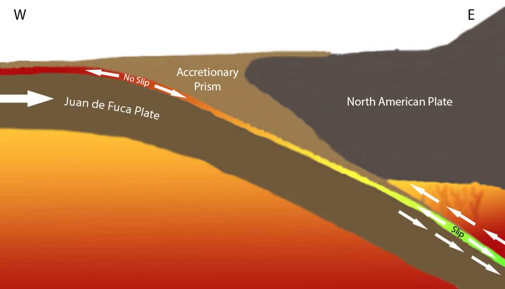
Stretching from Northern California to British Columbia, the Cascadia Subduction Zone is a convergent boundary where the Juan de Fuca plate is forced beneath the North American plate. This zone poses a significant seismic hazard as it is capable of generating powerful megathrust earthquakes, which can cause substantial ground shifting and potential tsunamis.
The Wasatch Fault, Utah
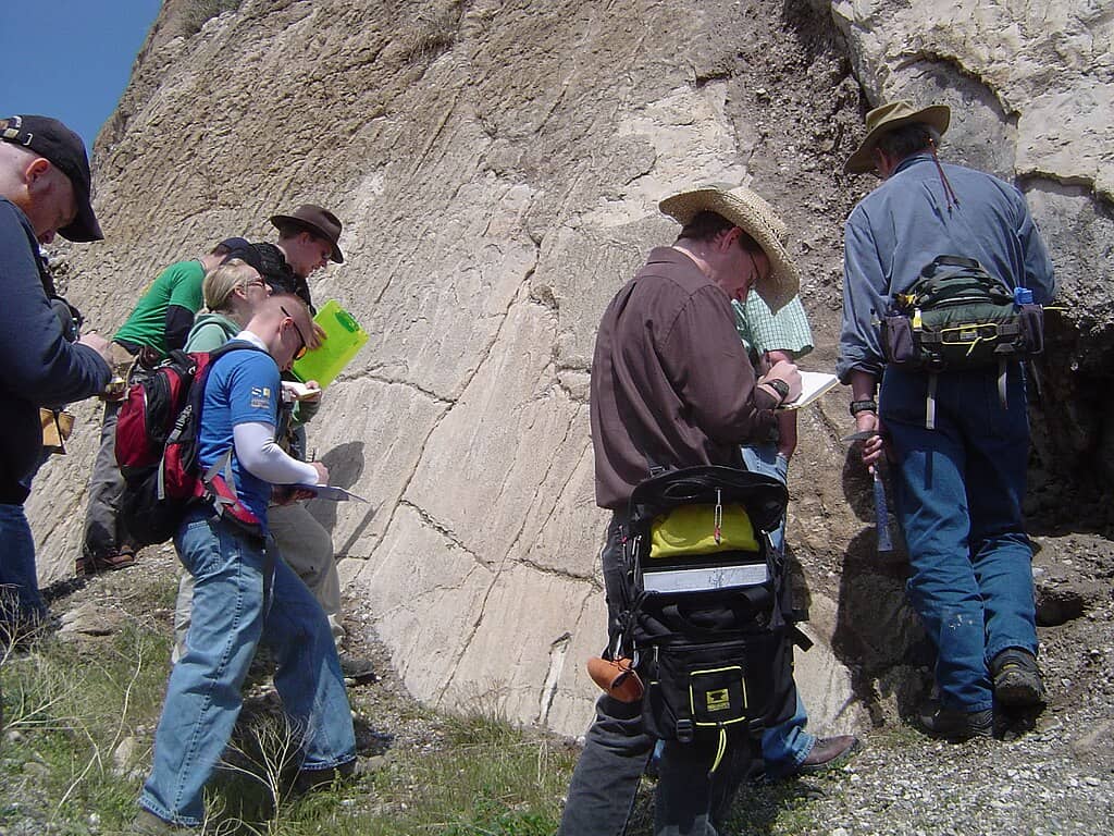
The Wasatch Fault runs along the western edge of the Wasatch Range in Utah. It is a normal fault, characterized by vertical movement, and poses a significant seismic risk to the Salt Lake City metropolitan area. Studies indicate that this fault is overdue for a significant seismic event, which could cause extensive ground shifting and damage.
Hawaiian Volcanoes, Hawaii

The Hawaiian Islands are an active volcanic hotspot, with Kilauea and Mauna Loa being some of the most active volcanoes in the world. The volcanic activity continuously reshapes the landscape, creating new land and altering existing topography. The ground shifts as magma moves beneath the surface, with eruptions dramatically influencing the region.
The Eastern Tennessee Seismic Zone
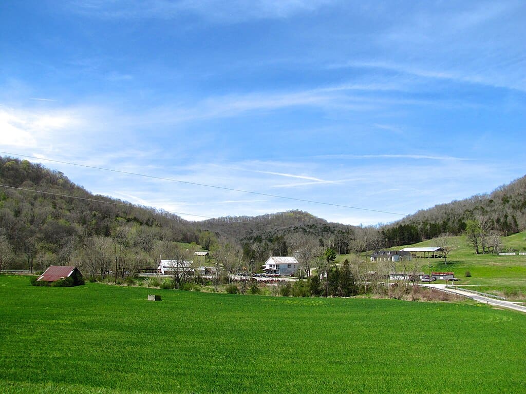
Though less known, the Eastern Tennessee Seismic Zone is one of the more active seismic areas in the eastern United States. This region experiences frequent small to moderate earthquakes. The consistent ground shifting is attributed to an ancient fault system that remains active, influencing the geomorphology of the area.
The Hayward Fault, California
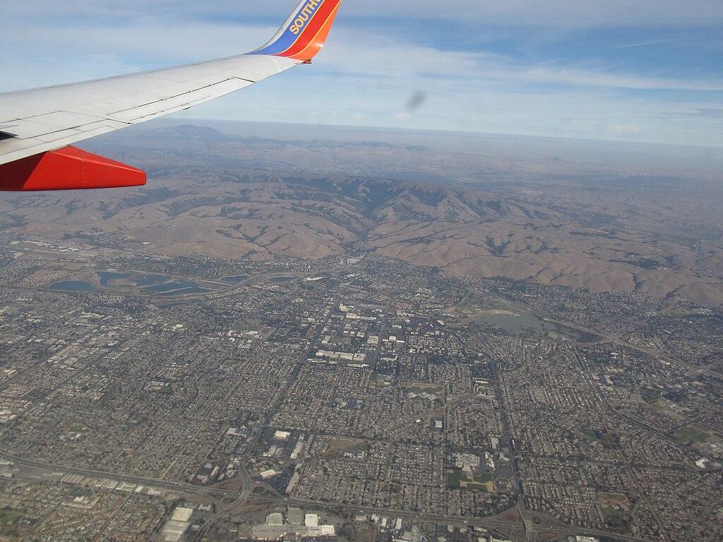
Another significant fault in California, the Hayward Fault, runs through the East Bay region near San Francisco. Known for its potential to cause severe earthquakes, the fault’s continuous movement is monitored closely. The fault underlies a densely populated area, increasing the potential impact of the ground shifts it inevitably induces.
Mount St. Helens, Washington
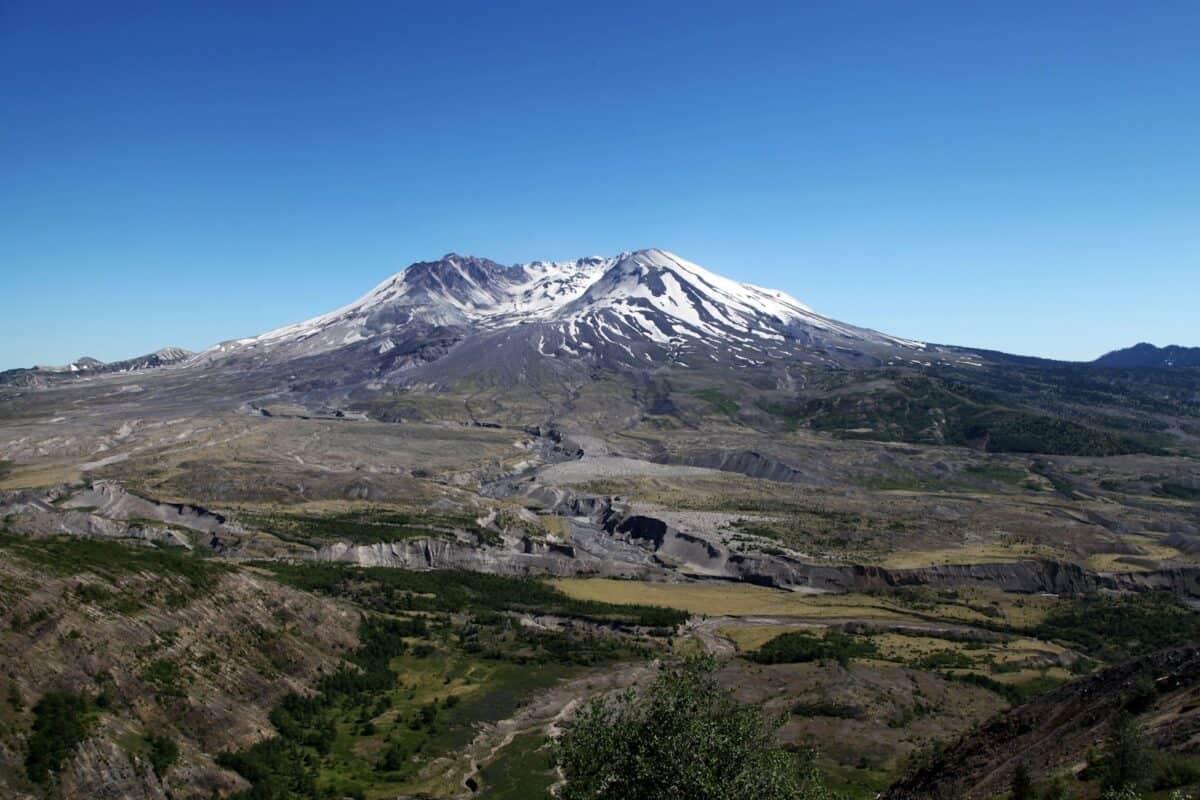
Mount St. Helens is synonymous with volcanic activity, most famously erupting in 1980. The volcano’s activity is driven by the movement of magma beneath the surface, causing significant shifts in the landscape. Its ongoing activity transforms the surrounding environment, presenting both hazards and scientific opportunities.
The Rio Grande Rift, New Mexico

The Rio Grande Rift is a rift valley that extends from Colorado into Mexico. The rift is characterized by tectonic activity that causes the crust to pull apart, creating a landscape of shifting grounds. This process influences volcanic activity and seismic events, shaping the geological and ecological framework of the region.
The Denali Fault, Alaska
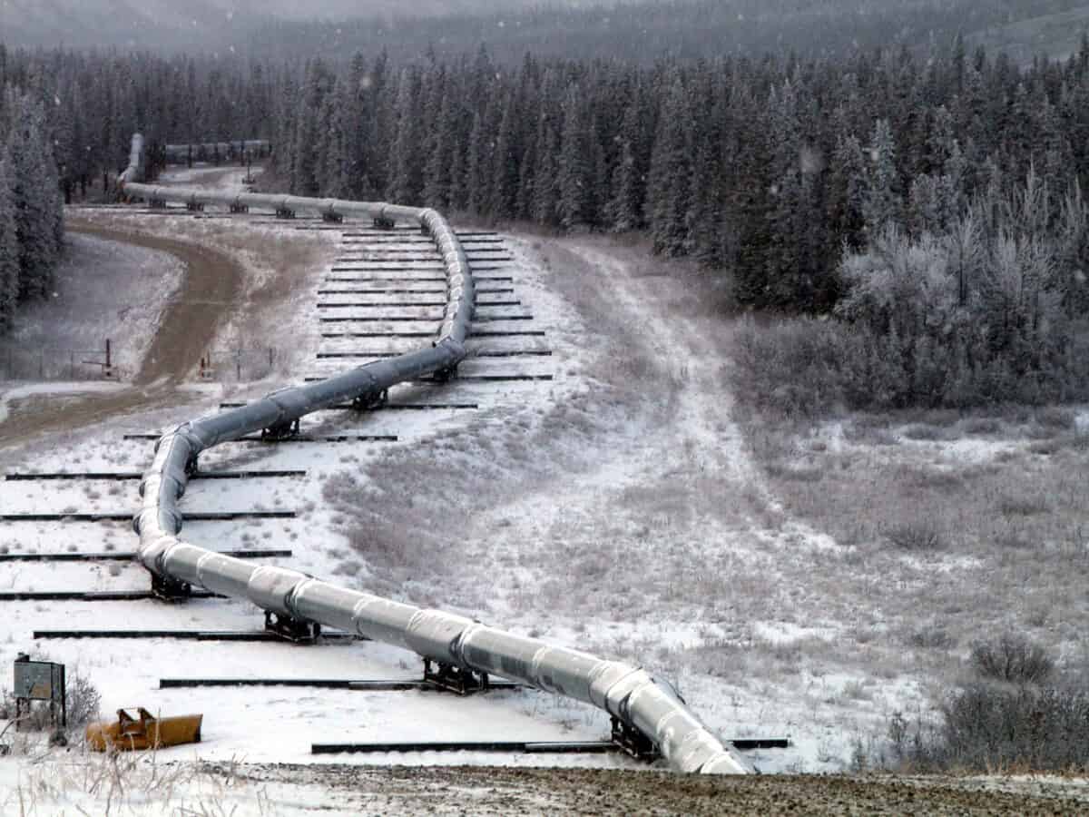
Located in the central part of Alaska, the Denali Fault is a major strike-slip fault capable of producing large earthquakes. The fault’s dynamic movement is a significant feature of Alaska’s tectonic landscape, contributing to the state’s high level of seismic activity and constant ground shifting.
The San Jacinto Fault Zone, California
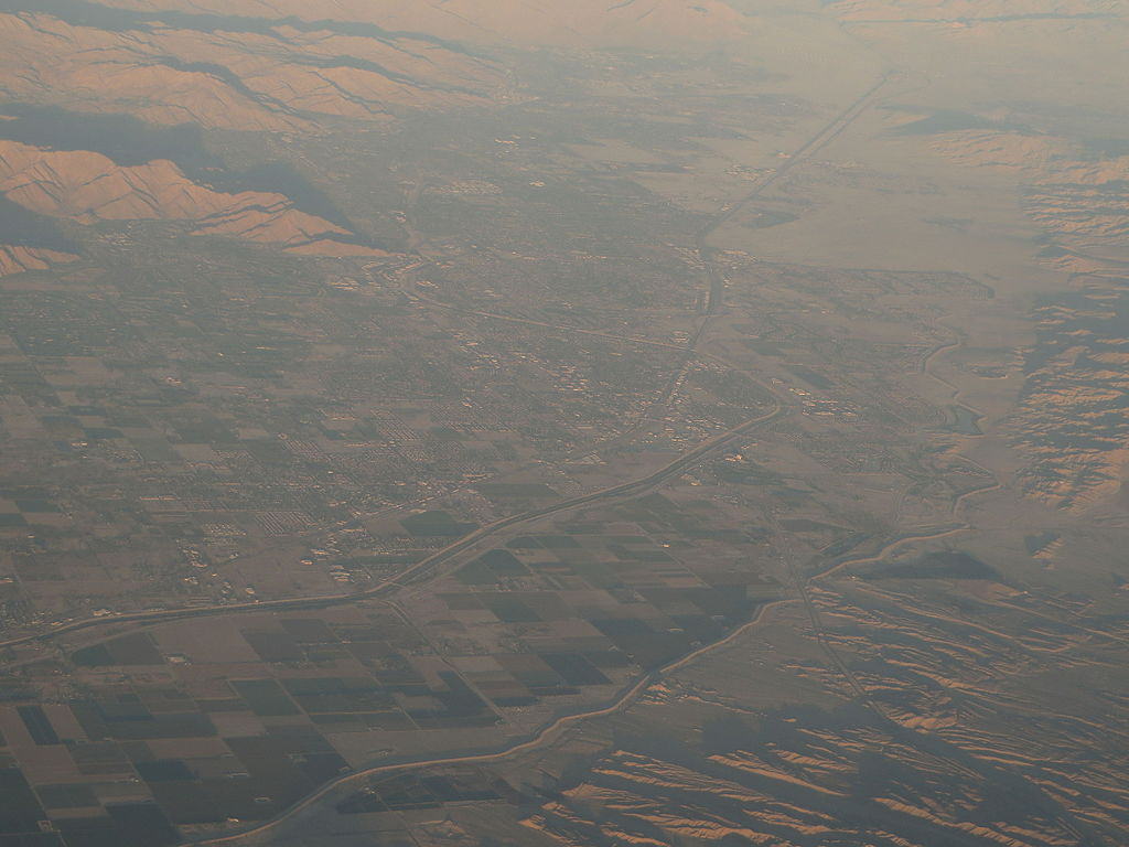
The San Jacinto Fault Zone runs through Southern California, parallel to the San Andreas Fault. Known for frequent seismic activity, it is considered one of the most active fault zones in the region. The fault’s constant movement poses a risk to nearby communities, underscoring the importance of understanding ground-shifting phenomena.
Conclusion

From coast to coast, these regions showcase the diverse and dynamic nature of Earth’s shifting grounds. Understanding these geologically active areas not only helps in preparing for natural hazards but also enriches our appreciation for the planet’s ever-changing landscape.

As a little kid, I fell in love with nature, wildlife, and animals. Living in the USA, South Africa, Italy, China and Germany gave me the opportunity to discover the world's Wildlife. My favorite animals are Mountain Gorillas, Siberian Tigers, and Great White Sharks.
I'm a certified PADI Open Water Diver, went to Everest Base Camp and Trekked Gorillas in Uganda. I hold a Master of Science in Economics and Finance.
Please send any feedback to feedback@animalsaroundtheglobe.com
- The Zombie Fungus That Turns Animals into Mindless Puppets - July 20, 2026
- 13 Weirdest Creatures Living in Florida - July 20, 2026
- 10 Fastest Growing Exotic Pets in U.S. Homes - July 20, 2026