


Earthquakes are among the most powerful forces of nature, often manifesting unexpectedly, leaving a lasting impact on both landscapes and human lives. With their sheer magnitude and potential to alter terrains, these seismic events have intrigued scientists and civilians alike for centuries. In this article, we’ll explore the 15 most powerful earthquakes ever recorded, understanding their impacts, causes, and the lessons gleaned from each encounter with Earth’s raw power.
The Science Behind Earthquakes

Earthquakes occur when stress accumulated along geological faults or volcanic activity is suddenly released. Tectonic plates, massive slabs of Earth’s lithosphere, float atop the semi-fluid asthenosphere, constantly exerting pressure on each other. When this pressure becomes unbearable, it results in fractures, leading to seismic waves that we perceive as earthquakes. The magnitude of these quakes is measured using the Richter scale, while their intensity is evaluated by the Modified Mercalli Intensity scale.
The Largest Earthquake Ever Recorded Valdivia, Chile (1960)
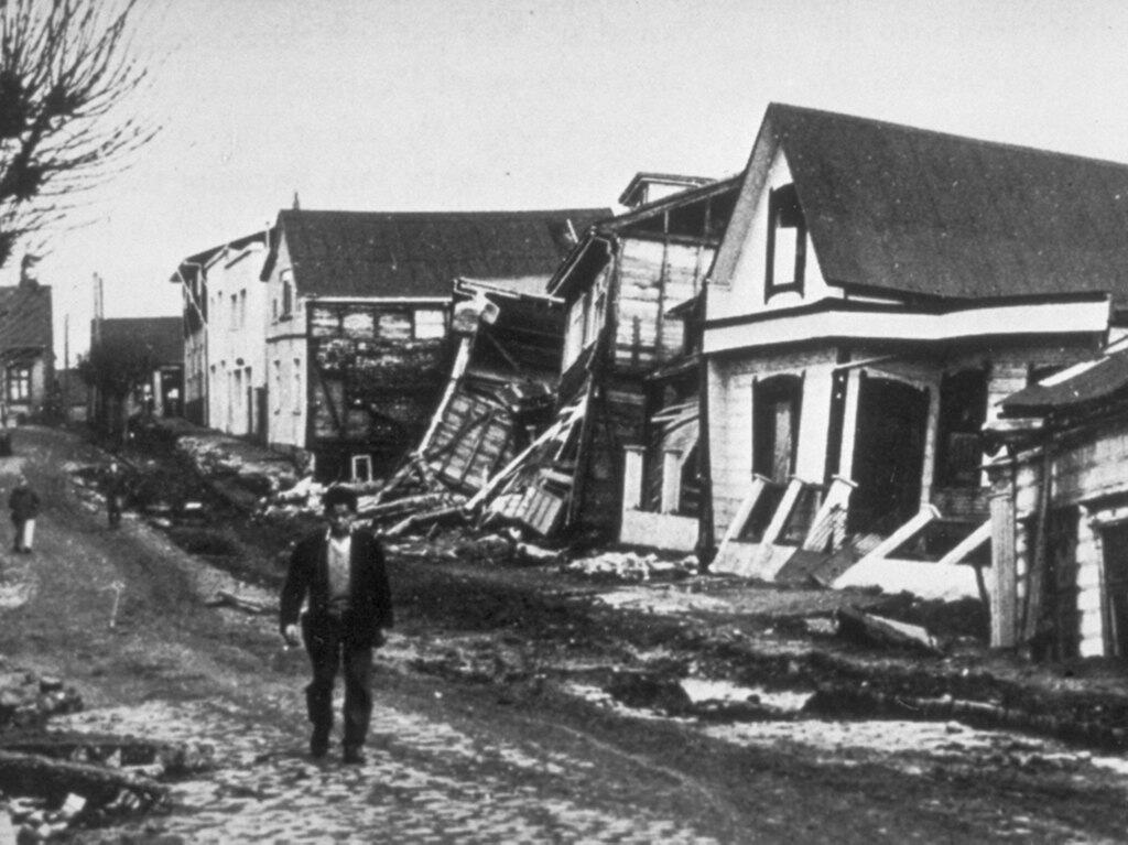
The Great Chilean Earthquake, registered at a magnitude of 9.5, remains the most potent seismic event ever recorded. Striking on May 22, 1960, it devastated Valdivia and southern Chile, triggering tsunamis that reached as far as Hawaii and Japan. The massive quake resulted from a subduction zone earthquake along the Peru–Chile Trench, reminding us of the unpredictable power lying beneath the Earth’s surface.
The Prince William Sound, Alaska Earthquake (1964)
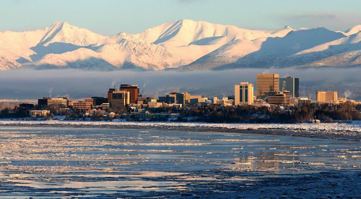
On Good Friday, March 27, 1964, Alaska was shaken by a magnitude 9.2 quake, the most powerful recorded in North America. The event raised serious structural and tsunami concerns, causing landslides in Anchorage and resulting in tsunamis that claimed lives as far as California. This seismic activity along the Alaska-Aleutian megathrust helped improve the understanding of subduction zone earthquakes.
The Sumatra-Andaman Earthquake (2004)
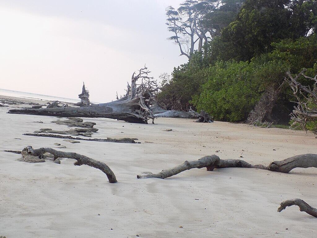
The catastrophic Indian Ocean earthquake on December 26, 2004, had a magnitude of 9.1-9.3 and resulted from a lengthy fault rupture. Its aftermath was one of the deadliest tsunamis in history, affecting 14 countries and claiming over 230,000 lives. The immense human toll spurred global efforts in tsunami research and early warning systems, emphasizing the need for rapid disaster response and community preparedness.
The Tohoku-Oki Earthquake, Japan (2011)
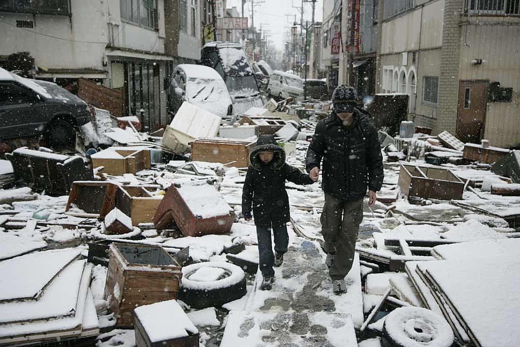
On March 11, 2011, the eastern coast of Honshu, Japan, experienced a magnitude 9.0 earthquake, prompting a tsunami that wreaked havoc along Japan’s coast, including the Fukushima Daiichi nuclear disaster. This quake provided critical data on megathrust earthquake mechanics, encouraging global reassessment of coastal defenses and nuclear facility safety measures in seismically active regions.
The Kamchatka, Russia Earthquake (1952)
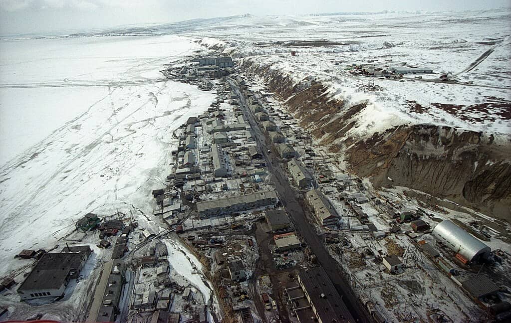
A magnitude 9.0 earthquake struck the Kamchatka Peninsula on November 4, 1952, generating a powerful tsunami that reached Hawaii and injured agricultural land, although it resulted in no casualties due to sparse coastal populations. The event is a significant reminder of Russia’s seismic vulnerabilities, pushing for enhanced monitoring of subduction zones along the Pacific Rim.
The Chile-Peru Trench Event (1868)
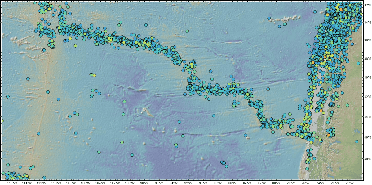
Occurring on August 13, 1868, off the shores of Arica, this magnitude 8.5 quake, evident in the historical record, triggered tsunamis that were felt across the Pacific. It devastated coastal towns in Chile and Peru, illustrating the extensive reach and consequential damage caused by tsunamigenic earthquakes in the Andean region.
The Rat Islands, Alaska Earthquake (1965)
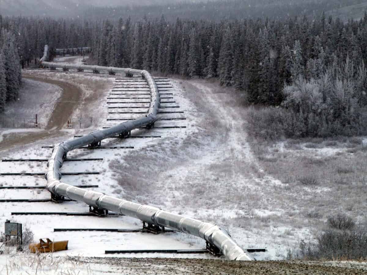
On February 4, 1965, the Rat Islands were rocked by a magnitude 8.7 quake along the Aleutian Trench. Although sparsely populated, this event’s seismic waves illustrated the propagation characteristics of tsunamis and earthquakes, improving our understanding of plate tectonics in remote oceanic regions.
The Indian Ocean’s Andaman Sea Earthquake (2004)

This colossal quake contributed to the series of large seismic events in 2004 along the Sumatran coastline. With a magnitude of 8.6, it compounded the year’s main tremor effects and further demonstrated the complex interactions of tectonic boundaries. Extensive studies following these events have increased insight into the multi-event characteristics of major seismic activities in this region.
The Coast of Peru Earthquake (2001)

On June 23, 2001, southern Peru experienced a magnitude 8.4 earthquake inland from the Nazca subduction zone. It resulted in significant casualties and infrastructure damage, prompting further seismic risk assessment and building code improvements across seismic zones of the Andes mountain range.
The Kermadec Islands, New Zealand Earthquake (1986)

A magnitude 8.3 earthquake struck the Kermadec Islands on May 4, 1986, one of several events demonstrating New Zealand’s dynamic tectonic environment. This event, although causing minimal damage, highlighted the critical need for robust maritime warning systems and earthquake readiness in the South Pacific.
The Kuril Islands, Russia Earthquake (2006)

The Kuril Islands, straddling the seismically active boundary between the Pacific Plate and the North American Plate, experienced a magnitude 8.3 earthquake on November 15, 2006. The event prompted evacuations due to tsunami risks and spurred greater cooperation between Russia and Japan in monitoring seismic activities and addressing regional natural disaster preparedness.
The Banda Sea, Indonesia Earthquake (1950)
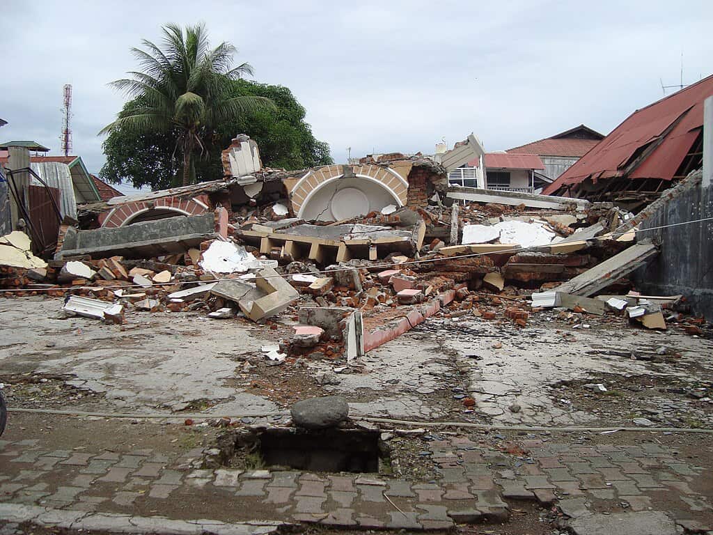
On June 30, 1950, the Banda Sea region experienced an 8.1 magnitude earthquake, exemplifying Indonesia’s seismic complexity due to its location on the Pacific Ring of Fire. Although data from the mid-20th century is less comprehensive, this event underscored the need for scientific advances in remote sensing and earthquake studies throughout archipelagic zones.
Conclusions and Key Takeaways
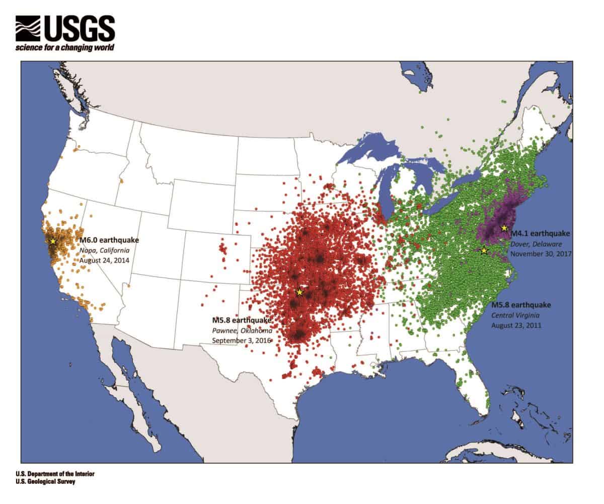
These monumental earthquakes underscore the Earth’s dynamic and unpredictable nature. Each event has provided critical insights into tectonic processes, disaster preparation, and post-disaster recovery measures. As technology and research evolve, understanding our planet’s seismic behavior offers the best defense against future earthquakes, safeguarding human lives and communities in regions prone to such formidable natural events.

As a little kid, I fell in love with nature, wildlife, and animals. Living in the USA, South Africa, Italy, China and Germany gave me the opportunity to discover the world's Wildlife. My favorite animals are Mountain Gorillas, Siberian Tigers, and Great White Sharks.
I'm a certified PADI Open Water Diver, went to Everest Base Camp and Trekked Gorillas in Uganda. I hold a Master of Science in Economics and Finance.
Please send any feedback to feedback@animalsaroundtheglobe.com
- 10 Prehistoric Insects That Were the Size of Birds - July 18, 2026
- 20 Unbelievable Dinosaur Discoveries That Completely Rewrite History - July 18, 2026
- 15 Stunning Landmarks in Malaysia That Should Never be Missed - July 18, 2026