
Ask ten tourists to name the best beach in America, and you’ll get the same five overexposed answers – Malibu, Miami, maybe the Outer Banks if someone’s feeling adventurous. Ask the rangers who actually patrol these shores every single day, and watch the mood shift. Several will tell you, almost sheepishly, that the beaches everyone photographs aren’t the ones they’d send their own families to.
What rangers actually watch for has nothing to do with sunset filters or Instagram geotags. They track water clarity, wildlife nurseries, dune stability, dark skies, and how fast the shoreline is disappearing under their boots. Their real list looks almost nothing like the postcards – and once you see why, you’ll understand exactly why they’ve kept quiet about it for this long.
#19 – Assateague Island, Maryland & Virginia
🔥 Would you like to save this?
We'll email this post to you, so you can come back to it later!
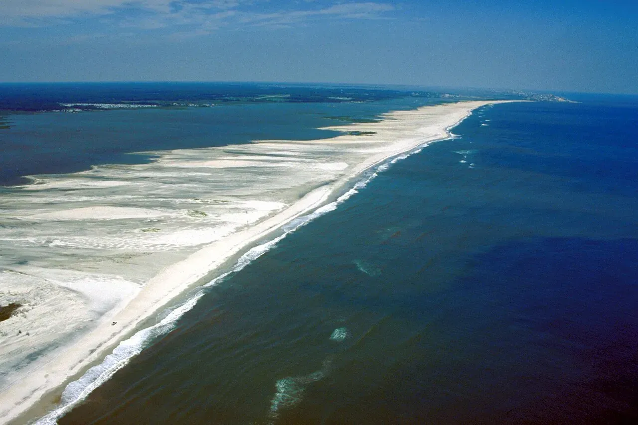
Rangers here don’t sugarcoat it: if you can’t handle wind, biting flies, and sand in every pocket, Assateague isn’t your beach. The barrier island constantly reshapes itself, moving several feet landward every year as storms and rising seas chew at its flanks.
Instead of fighting that with seawalls, managers simply let the island migrate. That makes it one of the most closely watched, scientifically documented stretches of coast on the entire East Coast.
Two things quietly impress the people who work here. The saltmarsh on the back side is a nursery for blue crabs, shorebirds, and terrapins – life you’ll never see from a packed boardwalk farther north. And those famous “wild” horses? They’re actually feral, and rangers spend real effort keeping visitors from loving them to death.
The payoff is a shoreline where piping plovers feed at dawn while ponies graze the dunes nearby. Wait until you see what earns the #18 spot – most people don’t even think of it as a beach town.
#18 – Olympic Coast, Washington
🔥 Would you like to save this?
We'll email this post to you, so you can come back to it later!
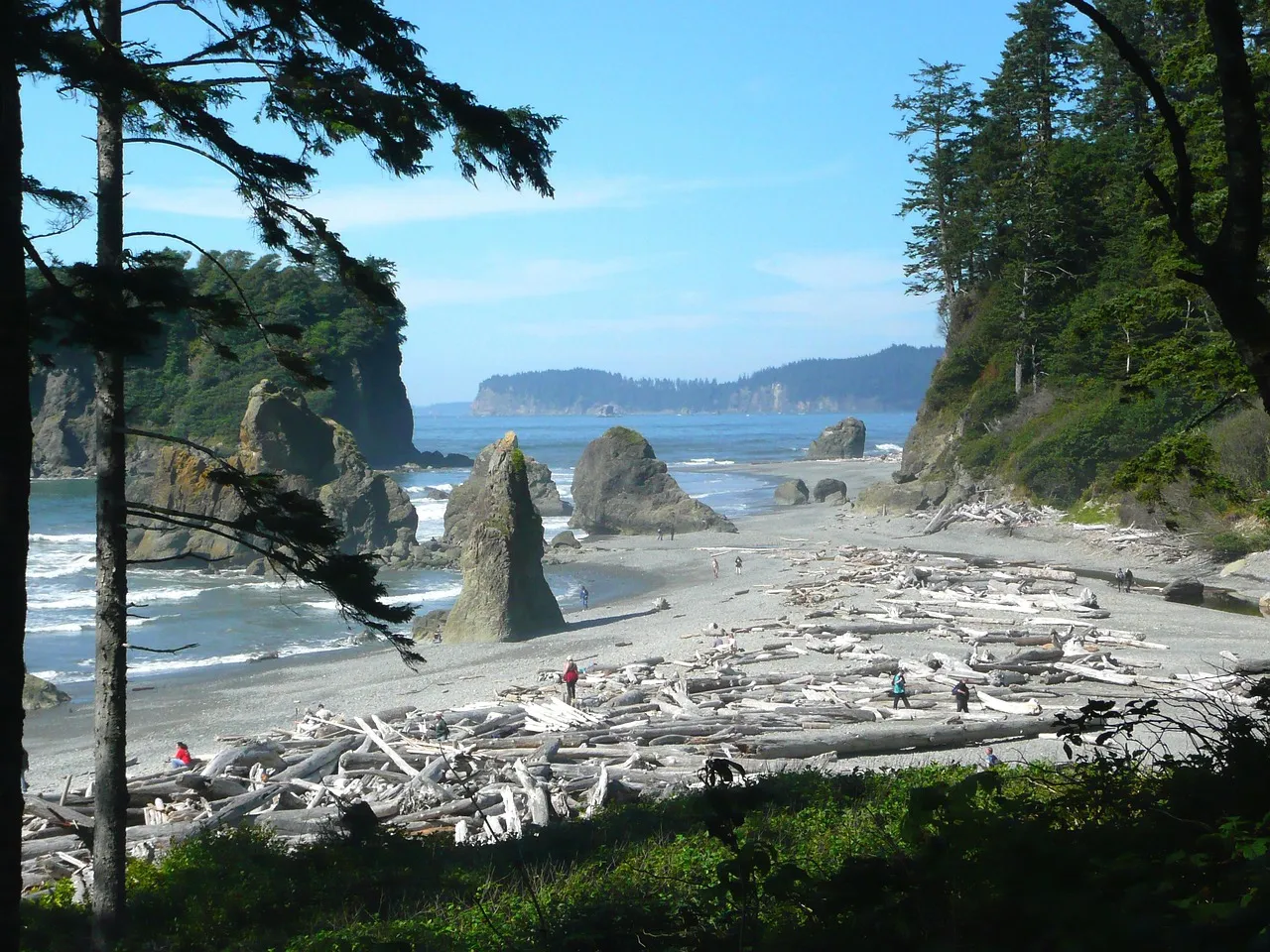
Most tourists hit the Hoh Rain Forest, snap a photo, and call it a day. Rangers will tell you the real magic is where those mossy valleys slam straight into the Pacific.
The Olympic Coast holds over 70 miles of roadless shoreline and some of the highest intertidal biodiversity in the lower 48. That combination quietly makes it a favorite among field staff and marine ecologists who could work almost anywhere.
Low tide here looks almost alien – sea stars, anemones, chitons, and gooseneck barnacles crowding tidepools beneath sea stacks that rise like stone cathedrals. Rangers monitor these pools constantly for marine heatwave damage, tracking which kelp beds rebounded and which starfish didn’t make it.
At night, the skies stay dark enough that staff still run serious stargazing programs. Insiders say the surf zone here is where the coast still feels genuinely untamed – but the next stretch on this list changes shape after every single storm.
#17 – Cape Lookout National Seashore, North Carolina
🔥 Would you like to save this?
We'll email this post to you, so you can come back to it later!
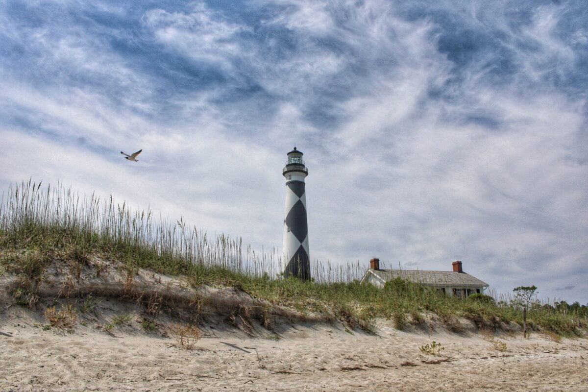
On paper, Cape Lookout looks simple: sand, wind, a striped lighthouse. Up close, rangers know it as one of the most dynamic barrier-island test labs on the Atlantic.
Hurricanes carve new inlets, overwash sands bury old roads, and whole sections of beach can shift half a football field in a single storm season. Instead of holding everything in place, managers here just study the movement.
Fast Facts
- Reachable only by ferry or private boat – no bridges, no causeway
- Storm seasons can widen or narrow the beach by well over 100 feet
- Key nesting grounds for least terns and piping plovers
- No permanent public structures on the main islands besides the lighthouse and a handful of historic buildings
Field staff love this coast for what it doesn’t have – no boardwalk cafés, no neon, no high-rises. You reach the main islands by boat, and once you’re there, the silence hits immediately, which is why bird biologists can track nesting terns and plovers with almost no ambient human noise.
Rangers say the view from the lighthouse after a nor’easter, with fresh overwash fans gleaming in the sun, is their annual reminder that this coast is alive, not just scenery. The next island on the list has zero cars and more wilderness than almost anywhere else on the Eastern Seaboard.
#16 – Cumberland Island, Georgia
🔥 Would you like to save this?
We'll email this post to you, so you can come back to it later!
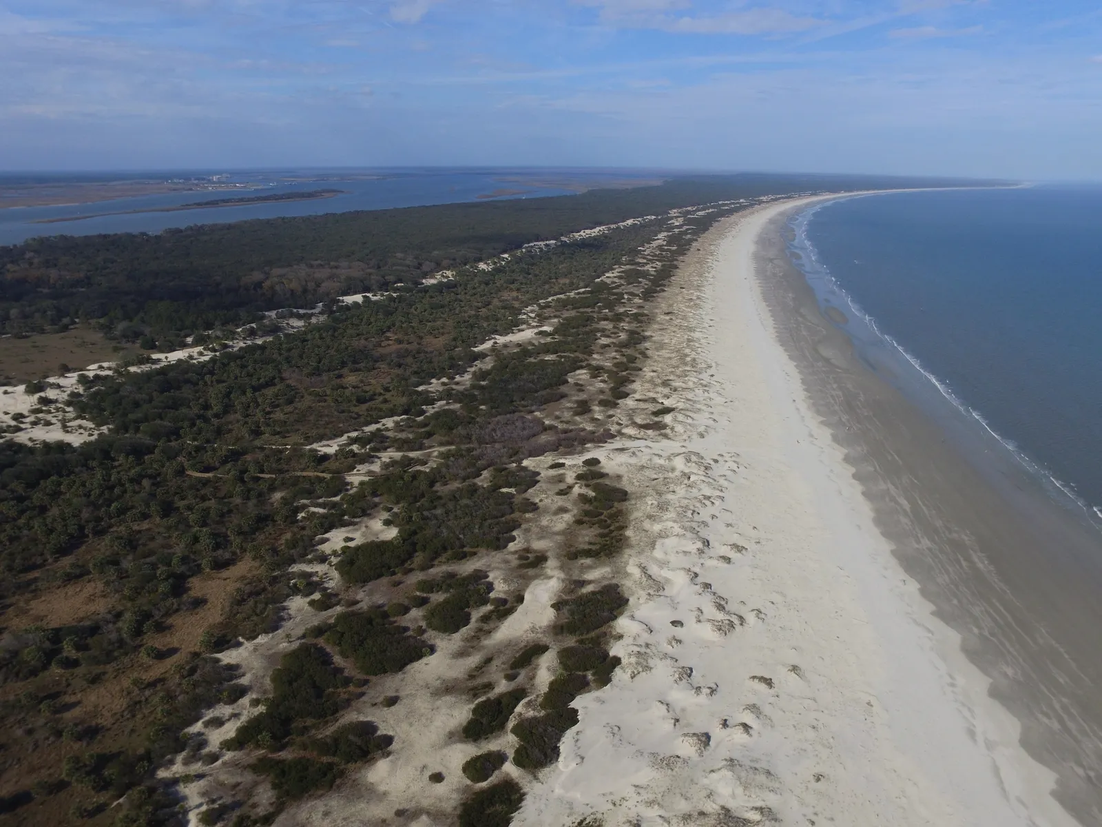
While most travelers chase Florida’s bright white sand, coastal ecologists quietly argue that Cumberland Island offers a richer, more intact system just north of the state line. You reach it by ferry, there are no cars for the public, and more than 80% of the island is designated wilderness.
That means the beach, dunes, and maritime forest function as one continuous, undisturbed unit – a rarity anywhere on the East Coast anymore.
Rangers pay as much attention to the forest behind the beach as to the surf itself. Live oaks draped in Spanish moss buffer storm winds, while loggerhead turtles nest on a shoreline that goes dark at night instead of glowing orange from condo lights.
You might spot feral horses, but the real stars for staff are the ghost crabs and shorebirds thriving simply because development stopped at the water’s edge. Insiders say if you want to see what much of the Southeast looked like two centuries ago, come here at sunrise during turtle season – and get ready, because #15 completely upends how most people think about Cape Cod.
#15 – Cape Cod National Seashore, Massachusetts
🔥 Would you like to save this?
We'll email this post to you, so you can come back to it later!
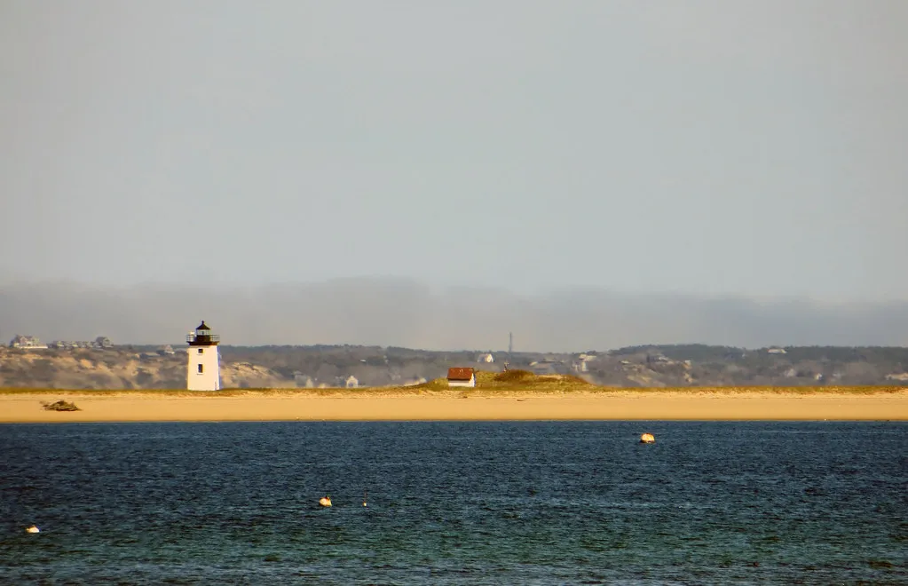
Locals will argue endlessly about their “best beach,” but rangers judge Cape Cod on a much longer time scale. This hooked peninsula is essentially a giant sandbar left behind by melting glaciers, and it loses the rough equivalent of several house lots of shoreline to erosion every single year.
Instead of walling it off, managers let many sections retreat naturally, even pulling roads and lighthouses back from the edge as the land disappears beneath them.
Biologists quietly love Cape Cod because three major ecosystems collide here: cold Gulf of Maine waters, warmer mid-Atlantic flows, and nutrient-rich estuaries. That collision means seal haul-outs, white shark patrols, and migratory bird traffic all spike in the same narrow zone.
Rangers increasingly find themselves explaining shark tags and seal behavior to visitors who only wanted a beach day. Some staff now call this the most misunderstood coastline in New England – stunning, yes, but also scientifically critical in a way most beachgoers never realize.
#14 – Padre Island National Seashore, Texas
🔥 Would you like to save this?
We'll email this post to you, so you can come back to it later!
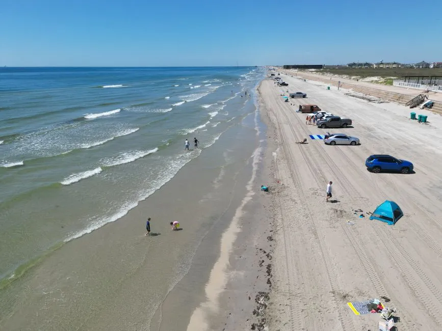
If you measure “best coast” in cocktails and piers, Padre Island loses badly to its resort neighbors. But rangers don’t measure it that way – they look at uninterrupted habitat, and this is the longest stretch of undeveloped barrier island on Earth, running roughly 70 miles.
That kind of unbroken scale simply doesn’t exist on most American shores anymore.
At a Glance
- Roughly 70 miles of undeveloped barrier island – the longest such stretch in the world
- Prime nesting ground for the Kemp’s ridley, the most endangered sea turtle on the planet
- Seasonal sargassum mats wash ashore, feeding shorebirds and invertebrates despite the mess
- Turtle patrols typically run from April through July, starting before sunrise
The work here is intense and unglamorous. Sea turtle patrols start before dawn during nesting season, with crews scanning miles of sand for the elusive Kemp’s ridley nest – one of the most endangered sea turtles on the planet.
Offshore wind and waves pile sargassum mats onto the beach, frustrating casual visitors but feeding the invertebrates and shorebirds that depend on it. Rangers point out that the exact things tourists complain about – seaweed, remoteness, rough surf – are what keep this coastline functioning as a real wildlife corridor.
#13 – Point Reyes National Seashore, California
🔥 Would you like to save this?
We'll email this post to you, so you can come back to it later!
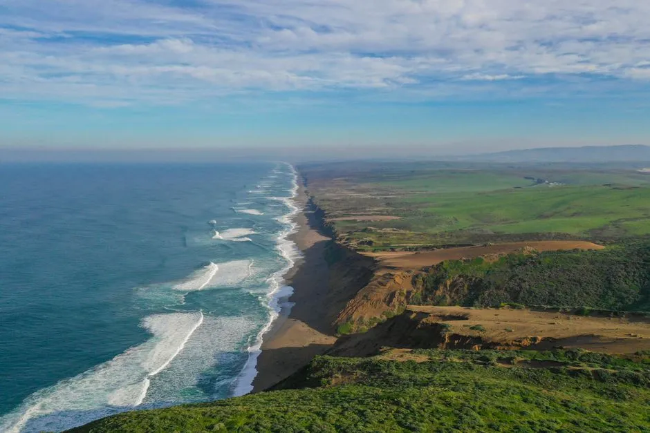
Most Bay Area visitors think “California coast” means Highway 1 pullouts and crowded city beaches. Rangers will quietly steer you northwest instead, toward a peninsula that sits directly on the San Andreas Fault.
During major quakes over the last century, Point Reyes has physically shifted roughly 20 feet relative to the mainland. That tectonic drama, plus relentless wind and cold-water upwelling, shapes everything staff monitor here.
The headlands stay wrapped in fog much of the year, feeding mossy forests just a short hike from cliffs where gray whales pass close to shore. Biologists track elephant seal colonies on beaches closed off to protect both pups and people, since sneaker waves make the water genuinely dangerous.
Rangers often say the moment you watch elk graze above thundering surf with no houses in sight is exactly when you understand why they rate this coast above California’s famous stretches.
#12 – Cape Hatteras National Seashore, North Carolina
🔥 Would you like to save this?
We'll email this post to you, so you can come back to it later!
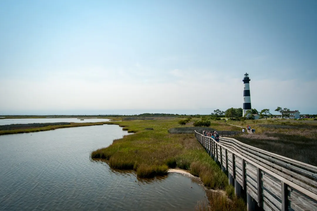
The Outer Banks get plenty of attention, but rangers see a very different side than the vacation rental brochures show. Cape Hatteras is a chain of narrow sand islands sitting right where the Labrador Current collides with the Gulf Stream.
That collision produces some of the most rapidly shifting inlets and sandbars on the entire Atlantic coast, and a shipwreck history that reads like a warning label.
Off-road vehicles are allowed on many beaches, but sections close for nesting shorebirds and sea turtles, forcing staff to explain all summer why a few roped-off dunes matter. Add in rising seas and stronger storms, and crews sometimes move parking lots back more often than they repave them.
Insiders say if you want to watch climate change and human expectations openly collide in real time, this is the frontline.
#11 – Channel Islands National Park, California
🔥 Would you like to save this?
We'll email this post to you, so you can come back to it later!
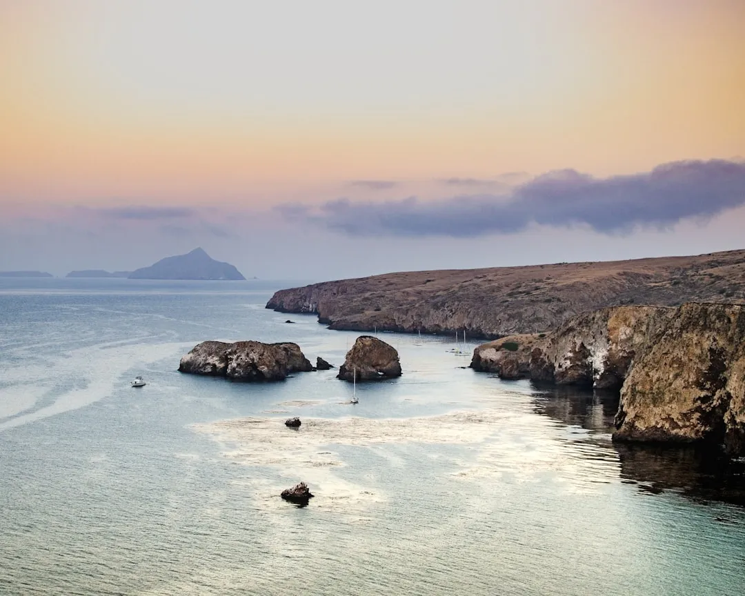
Ask a California ranger where the coast still feels like the 1800s, and many point offshore. The Channel Islands sit a short boat ride from Los Angeles and Ventura, yet over 70% of the park is designated wilderness.
The surrounding waters also hold some of the most successful marine reserves on the West Coast – a fact most day-trippers never learn.
On a clear day you can see city smog in the distance, but the kelp forests here tell a completely different story. Biologists track recovering island fox populations on land and sheepshead fish thriving in protected reefs just offshore.
Visitors usually remember the dolphins pacing the ferry, but rangers quietly geek out over the data – bigger fish, denser kelp, more top predators wherever fishing stays restricted. For staff who’ve watched other coasts get hollowed out by overuse, that’s not a small thing.
#10 – Big Sur Coast, California
🔥 Would you like to save this?
We'll email this post to you, so you can come back to it later!
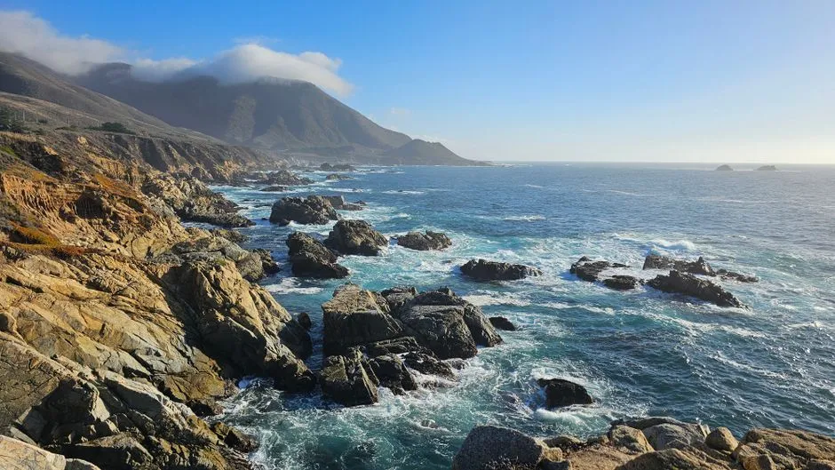
Big Sur shows up on every postcard rack, but posters can’t capture what rangers actually pay attention to. This is one of the steepest land-to-sea drops on the continental U.S., with mountains plunging straight into deep Pacific canyons.
That drop creates a mosaic of microclimates so tight that redwoods, chaparral, and coastal scrub can share a single hillside – and managers obsess over how fire, fog, and landslides constantly reshape it.
From the highway, visitors see dramatic bridges and blue water. From trail and helicopter, staff see nonstop motion – slides taking out chunks of Highway 1 for months, otters and intertidal zones getting hammered by winter swell, wildfire scars upriver altering sediment loads years later.
Rangers admit they dread long disaster seasons here because recovery is a marathon. But they also say that when the fog pulls back and you look down on whales spouting below regenerating burn ridges, it feels like the coast is stubbornly winning.
#9 – Dry Tortugas, Florida
🔥 Would you like to save this?
We'll email this post to you, so you can come back to it later!
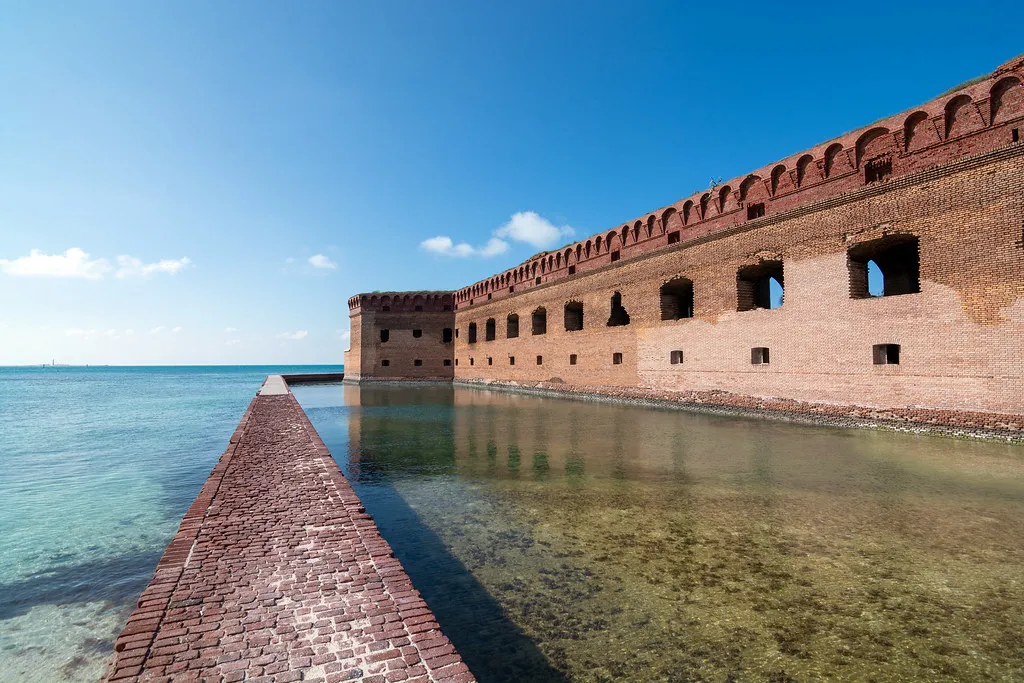
Most beach lists skip this place because you can’t just drive there. Rangers love it for exactly that reason – Dry Tortugas sits about 70 miles west of Key West, a cluster of tiny islands ringed by some of the healthiest remaining coral and seagrass beds in the continental U.S.
The old fort gets the Instagram shot, but the real work happens in the surrounding blue-green shallows.
Worth Knowing
- Located roughly 70 miles west of Key West, accessible only by boat or seaplane
- Ringed by some of the healthiest coral and seagrass beds left in the continental U.S.
- Minimal shoreline lighting keeps nesting sea turtles undisturbed after dark
- Considered highly vulnerable to rising seas due to its low, flat elevation
Visibility on a good day feels almost Caribbean. Biologists monitor coral bleaching, fish abundance, and turtle nesting with minimal shoreline lighting and far less boat traffic than the rest of Florida sees.
Rangers quietly worry that as seas rise and storms intensify, these low-lying islands will be among the first American “beaches” to fundamentally change shape or vanish entirely. That’s exactly why they rank it this high – it’s gorgeous, but it’s also a fragile snapshot of what the subtropical Atlantic used to look like everywhere.
#8 – Acadia’s Bold Coast, Maine
🔥 Would you like to save this?
We'll email this post to you, so you can come back to it later!
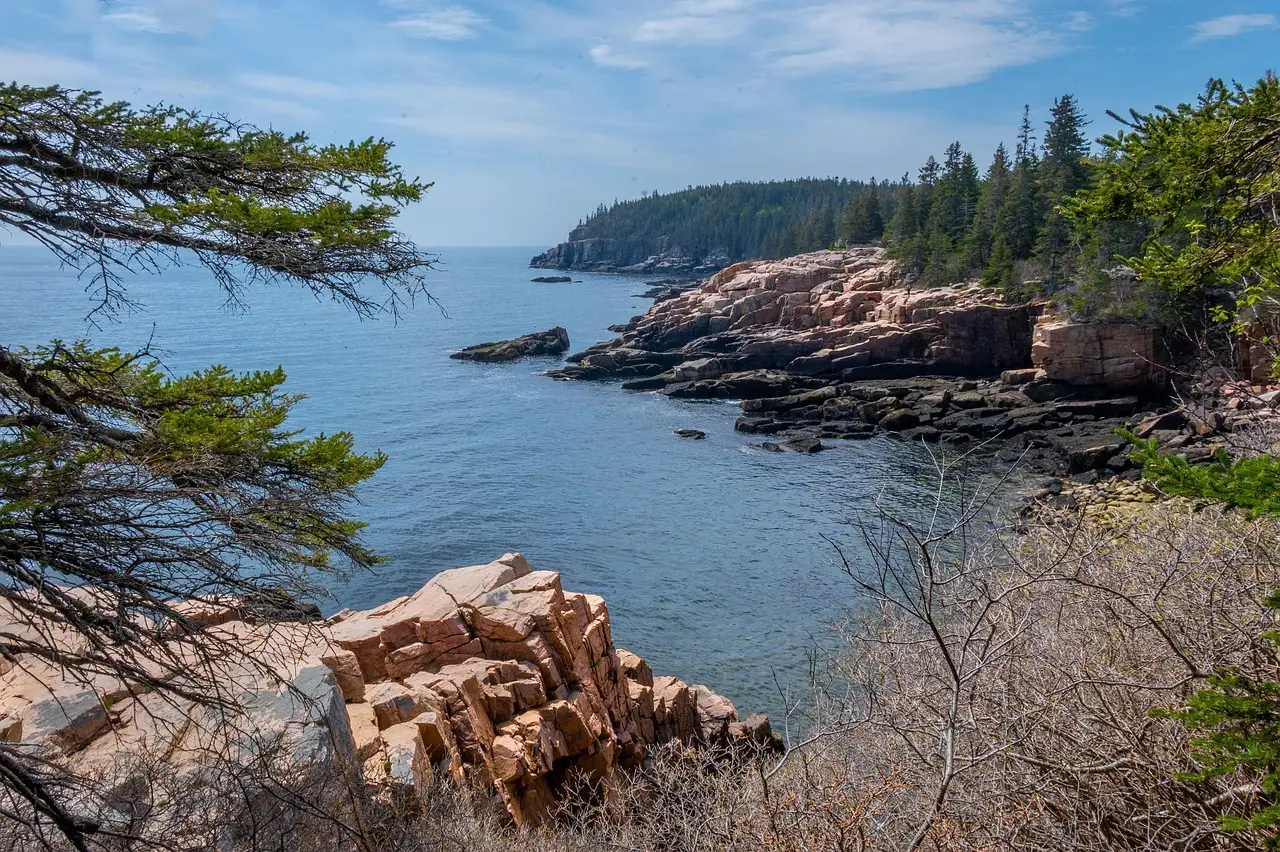
Maine sells itself on “rugged coastline,” but rangers at Acadia narrow that down to one specific stretch: towering granite cliffs hammered by North Atlantic swell. This isn’t a soft-sand vacation strand – it’s a living geology lesson.
You can see 400-million-year-old bedrock split by glacial scratches right at the surf line, and staff use those scars as real-time teaching tools about ice ages and sea level.
Intertidal biologists crawl over slippery cobbles counting periwinkles and barnacles, tracking how warming water and invasive species are quietly shifting which creatures survive here. On calm days, tourists line up at Thunder Hole for the boom; on rough days, rangers are busy keeping people back from sneaker waves.
While crowds chase sunrise photo spots elsewhere in the park, insiders argue this is where Acadia’s real power lives – in the collision of hard rock, cold water, and a shoreline that’s still very much alive.
#7 – Outer Cape & Nauset Spit, Massachusetts
🔥 Would you like to save this?
We'll email this post to you, so you can come back to it later!
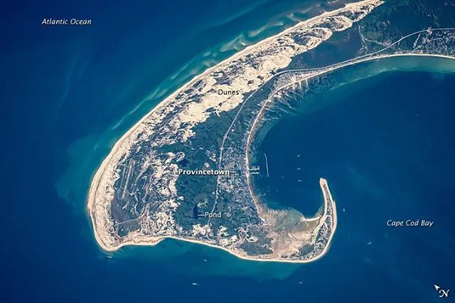
Even within Cape Cod, rangers quietly single out the outer arm and Nauset Spit as a notch above the rest. The long, narrow sandspit constantly breaks and reforms under wave attack, and channels here have shifted dramatically within a single winter, forcing charts and GPS routes to be redrawn.
For the coastal geomorphologists on staff, it’s a front-row seat to landform change happening in real time.
Locals build cottages here only to watch dunes march landward and undercut them within a few seasons. Bird biologists mark nesting areas, then watch overwash fans create brand-new habitat mid-season, right under their feet.
The mix of gray seals, white sharks, and human swimmers keeps rangers busy with safety messaging that would have sounded absurd 40 years ago. Many staff argue that if you want to understand the modern Atlantic coast – predators returning, storms intensifying, sand always on the move – you stand on Nauset at low tide and just watch.
#6 – Redwood Coast, Northern California
🔥 Would you like to save this?
We'll email this post to you, so you can come back to it later!
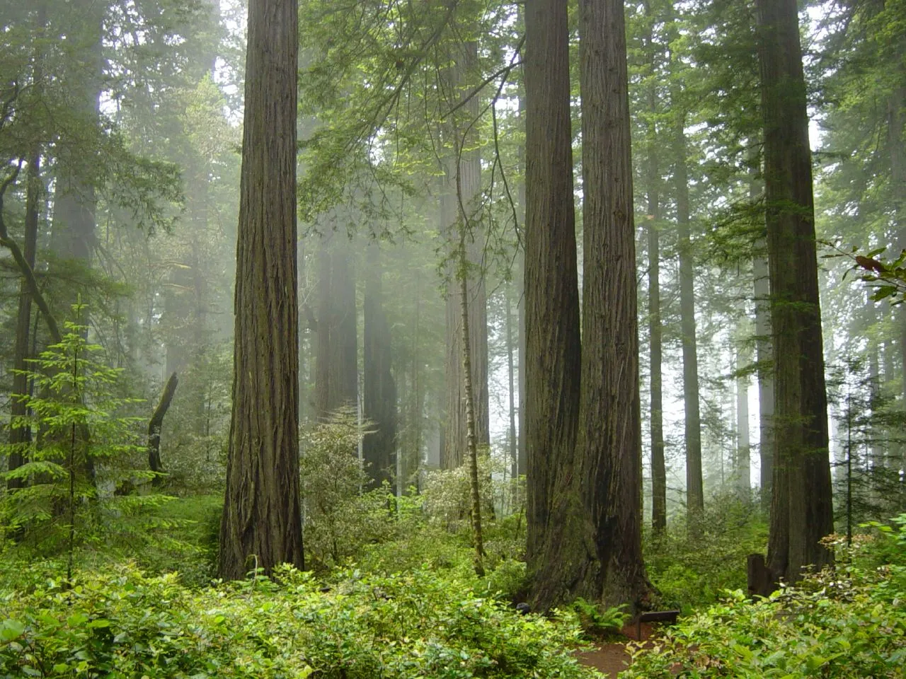
This isn’t a “beach trip” in the traditional sense, and that’s exactly why many rangers rank it above California’s sunnier sands. The coast here is backed by some of the tallest living trees on Earth, redwoods that can top 350 feet, with Pacific fog acting as a critical summertime water source.
That ocean-sky-forest feedback loop is what staff obsess over, because it keeps the entire ecosystem alive during dry months.
One minute you’re walking a gravel bar where the Smith or Klamath River meets the sea, watching harbor seals fish in brackish water. The next, you’re standing under a cathedral of trunks that depend on that exact same coastal moisture to survive.
Biologists track how shifting fog frequency affects redwood health as ocean temperatures change. While most travelers chase warm surf, rangers here quietly say a cold, gray day with whales offshore and elk in the dunes tells a far more important story than a hundred beach umbrellas ever could.
#5 – Kenai Fjords Coast, Alaska
🔥 Would you like to save this?
We'll email this post to you, so you can come back to it later!
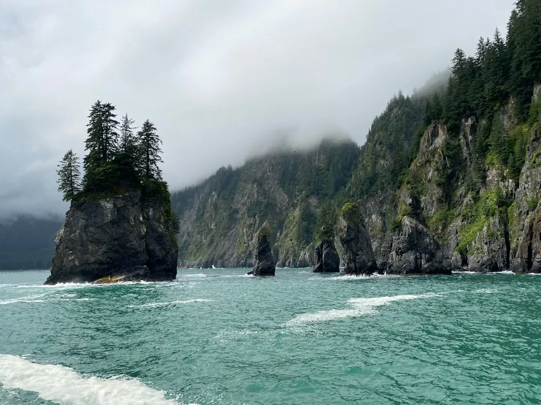
This is where “coastline” starts to look like another planet. Rangers at Kenai Fjords work in a landscape where ice, rock, and sea collide, with glaciers sliding straight down to tidewater and calving icebergs into fjords that plunge hundreds of feet deep just yards from vertical cliffs.
That extreme topography is exactly why marine mammals and seabirds swarm these waters in such density.
From a science standpoint, this coastline is one of the clearest visual indicators of climate change anywhere in the Park Service. Staff can show you photo pairs where glaciers have pulled back dramatically in just a few decades, opening new tidewater habitat that biologists rush to study.
Once you’ve watched a glacier calve into a fjord full of feeding whales, it’s hard to take resort marketing about “best beach in America” very seriously.
Kenai Fjords ranger, on why the job changes how you see a coastline
#4 – Cape Romain & Bulls Island, South Carolina
🔥 Would you like to save this?
We'll email this post to you, so you can come back to it later!
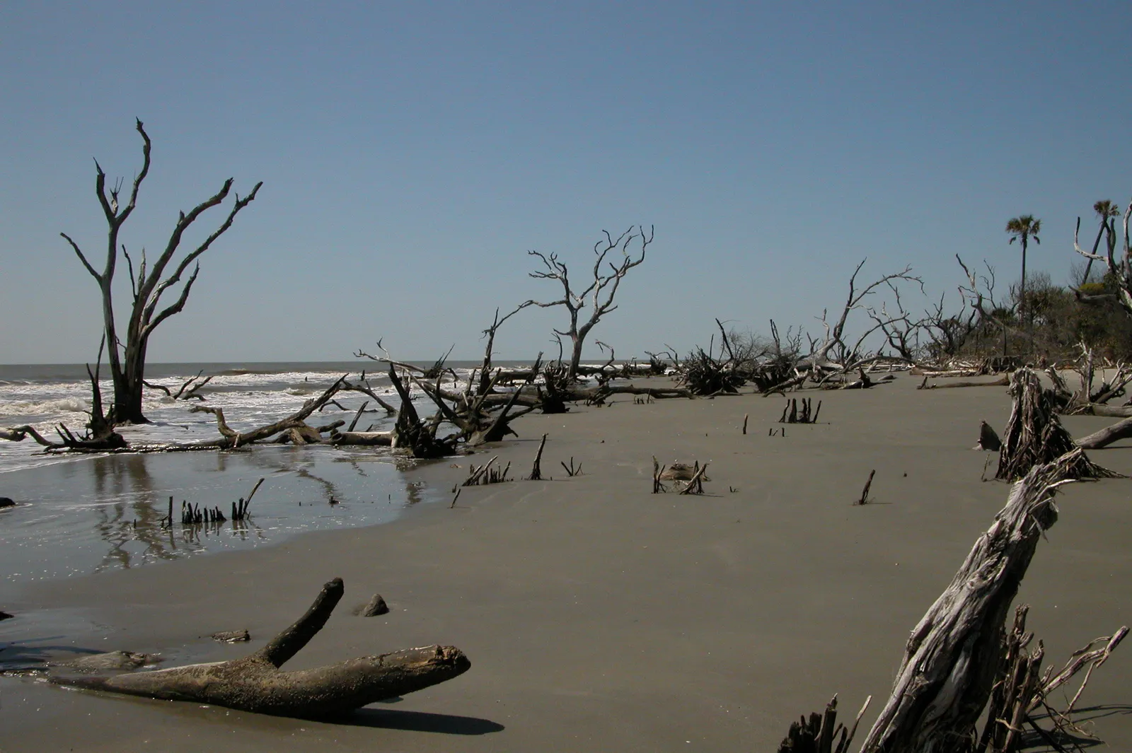
Most tourists driving between Charleston and Myrtle Beach barely glance at the marsh stretching to the horizon. Rangers know better – Cape Romain National Wildlife Refuge and Bulls Island protect over 60,000 acres of salt marsh, creeks, and barrier beaches.
That makes this one of the most significant intact coastal marsh complexes left on the East Coast, and it matters more long-term than any single postcard beach.
You reach Bulls Island by boat, then walk through maritime forest to a beach littered with bleached tree trunks – so-called “boneyard beaches” created as the island gradually rolls landward. Biologists track red wolves, sea turtles, and an astonishing density of migratory birds moving through the marsh.
That marsh grass doesn’t just host life – it stores carbon and blunts storm surge for inland communities that never even see it. Rangers quietly note that every time a resort fills a wetland elsewhere, coasts like this one become even more valuable simply by still existing.
#3 – Hawaiʻi Volcanoes Sea Cliffs, Big Island
🔥 Would you like to save this?
We'll email this post to you, so you can come back to it later!
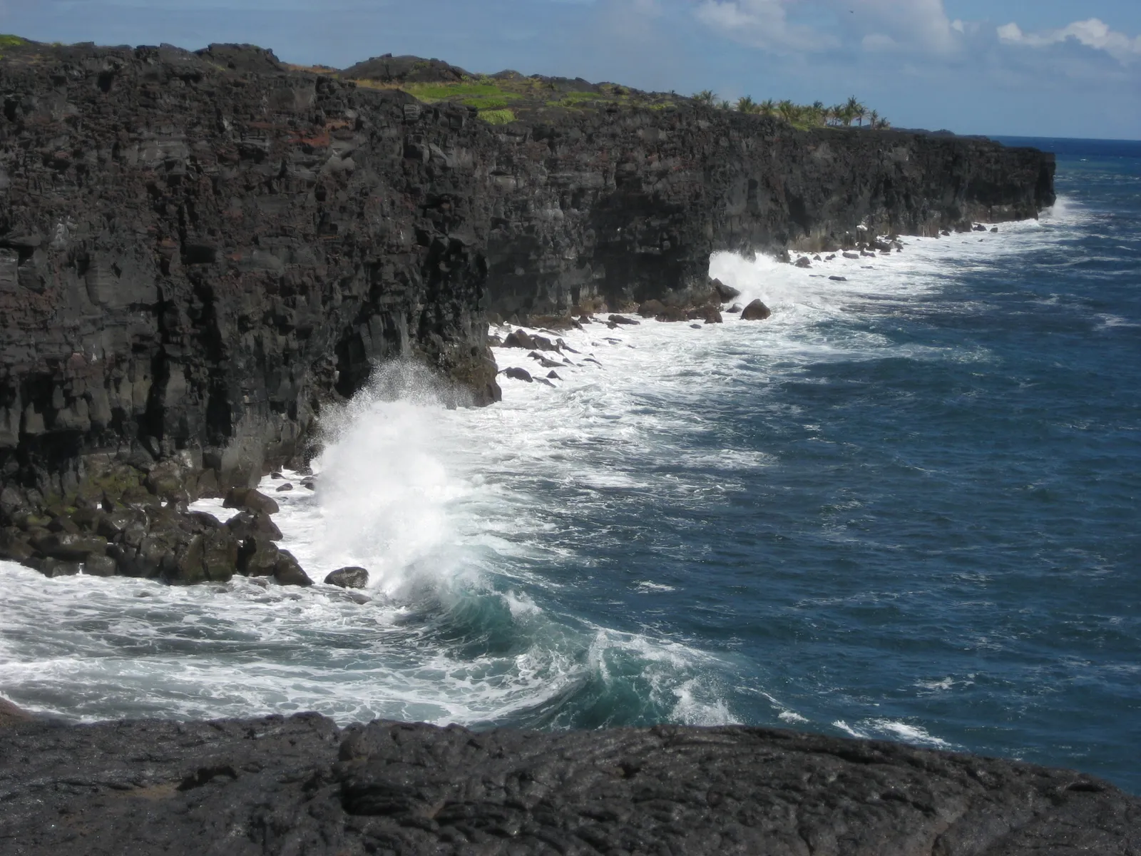
Some mainland lists skip these shores because they aren’t traditional beach destinations. Rangers think that’s a mistake – the coastal edge of Hawaiʻi Volcanoes is where new American land is literally being born, as lava hardens into fresh basalt and waves begin the slow process of grinding it into sand.
Few places let staff watch land turn into ocean, in real time, the way this coast does.
Cliff-top trails look down on pounding surf and black lava benches that can appear and vanish within years, sometimes within days, depending on eruption cycles. Biologists have front-row seats as hardy pioneer plants colonize bare rock, followed by seabirds and invertebrates moving in behind them.
Rangers often say that while most coasts are stories of erosion and loss, this one is a live chapter on creation. It’s harsh and genuinely dangerous – absolutely not a place for casual swimming – but as a coastal system, it may be more “alive” than almost any comfortable mainland shore.
#2 – Everglades & Florida Bay Coastal Fringe, Florida
🔥 Would you like to save this?
We'll email this post to you, so you can come back to it later!
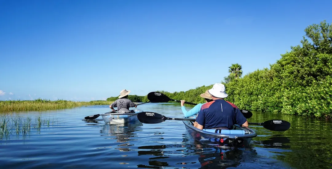
Ask ten tourists about the Everglades and nine will talk only about airboats and alligators inland. Rangers roll their eyes at that, because the real engine of the whole system sits at the coast, where freshwater from the “River of Grass” meets saltwater in a labyrinth of mangrove estuaries and seagrass flats.
This mixing zone is a nursery for much of the marine life that later fills Gulf and Atlantic fisheries hundreds of miles away.
From the air, the shoreline looks shredded – countless islands, channels, and mudflats with no clean edge. On the ground, biologists wade through knee-deep water tracking wading birds, manatees, and juvenile fish, watching salinity like hawks because changes upstream can crash coastal seagrass beds years later.
Rangers quietly insist that if you drained the inland marsh but somehow kept the beach line intact, the Everglades would still collapse. In their minds, this invisible coast – far from any crowded beach town – is one of the most critical stretches of shoreline in the entire country.
#1 – Glacier Bay & the Lost Ice Coast, Alaska
🔥 Would you like to save this?
We'll email this post to you, so you can come back to it later!
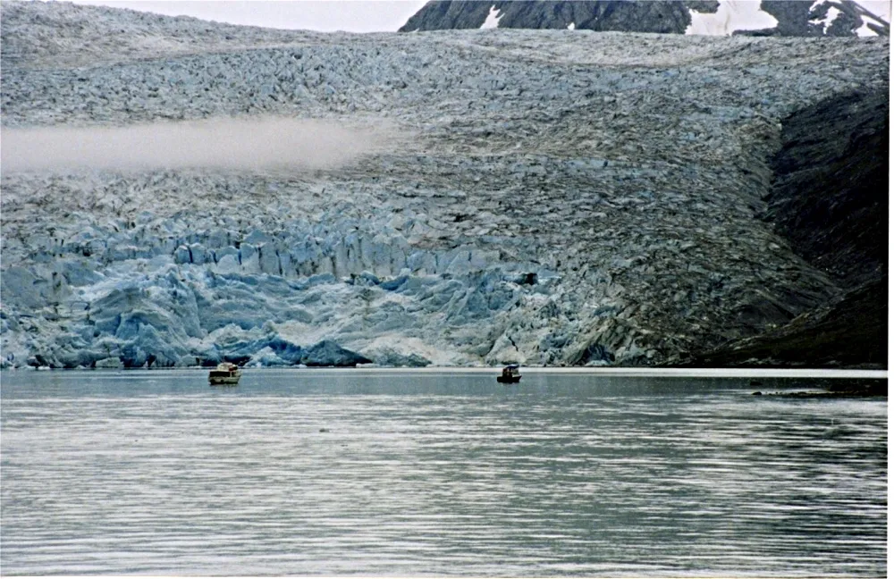
When you ask coastal rangers which American shoreline haunts them the most, Glacier Bay comes up again and again. A couple of centuries ago, this “bay” was mostly ice. Since then, glaciers have retreated over 60 miles in some arms, exposing one of the fastest-evolving coastal landscapes ever documented.
For scientists and staff, it’s like watching a time-lapse of Earth’s coastal history running on fast-forward, in a place most people will never set foot.
Why It Stands Out
- Glaciers have retreated more than 60 miles in some arms since the late 1700s
- Forested slopes along parts of the bay are, in places, only decades old
- Humpback whales, seals, and seabirds fill the fjords in dense numbers each summer
- Widely considered one of the fastest-documented cases of coastal landscape change on Earth
The coast here is a shifting mix of tidewater glaciers, forested slopes just decades old, and intricate inlets teeming with humpbacks, seals, and seabirds. Rangers can point to moraines where ice stood within living memory, then show you where sea otters and kelp forests are already reclaiming the space.
It’s a brutal, beautiful reminder that shorelines aren’t permanent lines on a map. Many insiders quietly admit that once you’ve worked here – listening to glacial ice crack, watching fog slide through brand-new fjords – it permanently ruins your ability to take a manicured boardwalk beach seriously. For them, this is the coastline that ranks above anywhere else in the country.
The Bottom Line
🔥 Would you like to save this?
We'll email this post to you, so you can come back to it later!
Stop asking tourists and start asking rangers, scientists, and coastal managers, and the “best” American coastlines look almost nothing alike. They’re rougher, darker at night, harder to reach, and often actively eroding under everyone’s feet.
Yet they also host the last long runs of undeveloped barrier island, the healthiest remaining marsh nurseries, and some of the only semi-intact marine food webs left in U.S. waters. In nearly every case, the exact things casual visitors complain about – fog, distance, mud, seaweed, cold water – are what keep these coasts alive in the first place.
That’s the uncomfortable truth nobody puts on a brochure: our most popular beaches are rarely our most important ones. Rangers rank the wild edges higher every time, even as funding and attention keep tilting toward boardwalks and condos.
Did we leave off your personal favorite stretch of coast – or do you think one of these is overrated? Say which coastline you’d move up or down in the rankings, and why.

- 7 Everyday Habits That Can Make Your Senior Dog Happier - November 5, 2026
- 10 Enigmatic Structures That Continue to Puzzle Scientists Today - November 5, 2026
- 10 Strange Ruins in the Americas That Challenge What We Know About Early History - November 5, 2026