
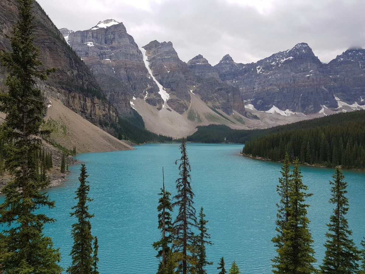
Stand on a lakeshore in the Finger Lakes region at sunset and it’s hard not to feel like you’re looking at something ancient and deliberate. Those impossibly long, narrow lakes lined up like claw marks across central New York are not an accident of rivers or random erosion. They are scars left by ice so thick and heavy it could bulldoze a landscape like wet clay.
What makes it even more mind‑bending is this: the graceful wineries, rolling hills, and cozy small towns people love today were all sculpted by forces violent enough to rip rock from the earth and drag it for miles. Let’s pull back the curtain on the science and the stories baked into this landscape and walk through the very specific ways glaciers carved, reshaped, and essentially designed the Finger Lakes we know now.
1. Deep U-Shaped Troughs: When Ice Turned Valleys Into Bathtubs
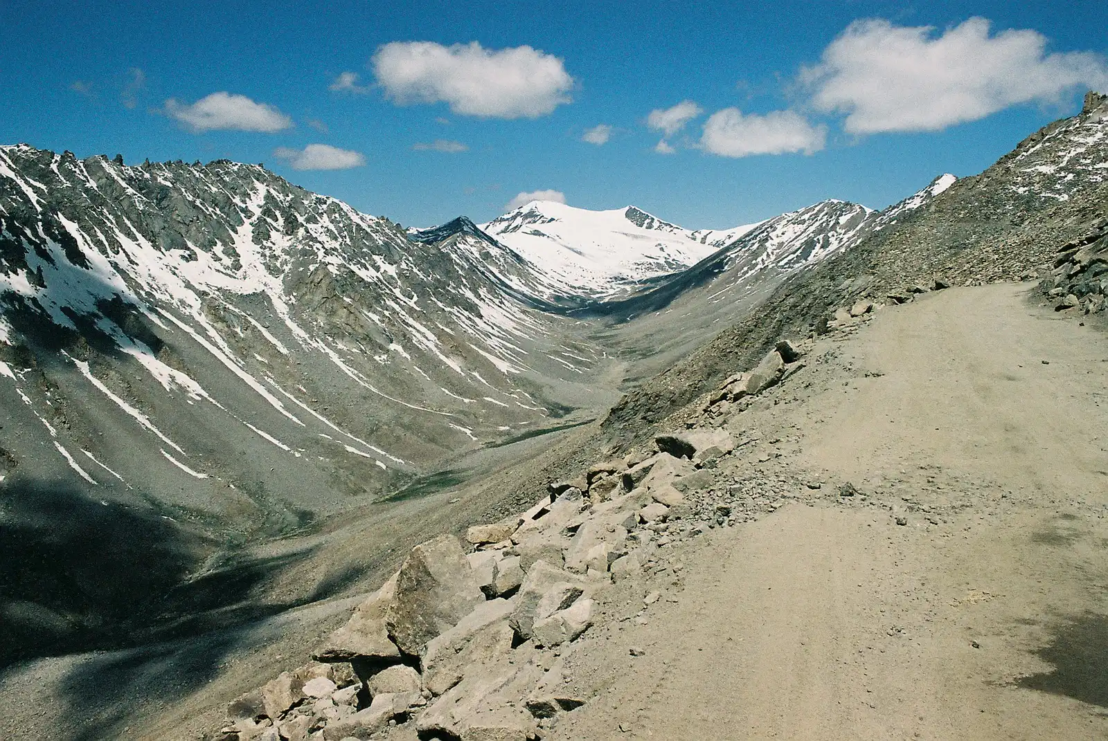
Imagine taking a V-shaped river valley and running a giant, slow-moving ice plow through it for thousands of years. That is essentially what happened in the region that became the Finger Lakes. Before the last ice age, ancient rivers flowed northward through softer rock; once glaciers advanced, they followed those same paths but widened and deepened them dramatically.
Glacial ice does not just glide; it grinds. As the Laurentide Ice Sheet moved south over central New York, it pressed down with immense weight, scouring bedrock and carving broad U-shaped valleys out of older, narrower river channels. When the ice finally melted, these deep, over-deepened troughs filled with meltwater and groundwater, creating the long, narrow lakes like Cayuga and Seneca that now resemble flooded bathtubs on a continental scale.
2. Overdeepening and Bedrock Stripping: Why Some Lakes Are Shockingly Deep
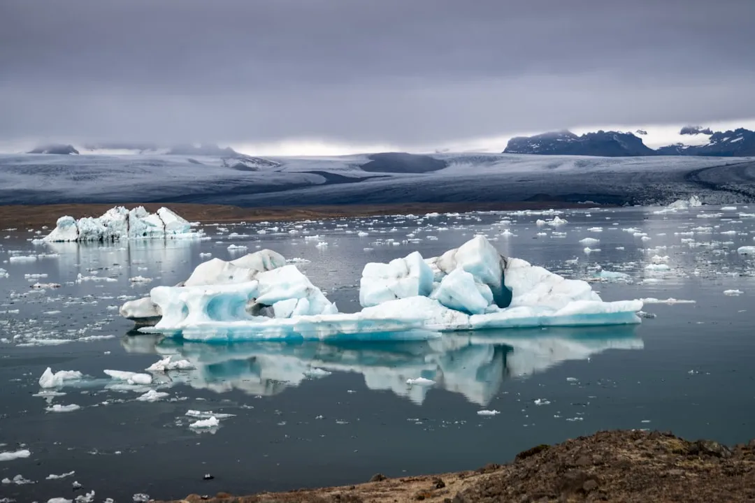
One of the most surprising facts about the Finger Lakes is just how deep some of them are compared to their width. Seneca Lake, for example, is deeper than many parts of the nearby ocean despite being only a few miles across at most. That depth is not random; it’s a direct result of what geologists call overdeepening, where glaciers carved below the level of the surrounding lowlands.
Under the ice, abrasion and plucking went into overdrive. Abrasion is like sandpaper on steroids, with rock fragments frozen into the base of a glacier scraping the bedrock surface. Plucking happens when meltwater seeps into cracks, refreezes, and then the moving ice rips loose chunks of rock. Layer after layer of softer shale and sedimentary rock was stripped away, leaving basins far deeper than any river alone could carve, which later became the deep cores of the Finger Lakes.
3. Hanging Valleys and Dramatic Waterfalls: Glacial Staircases in the Landscape
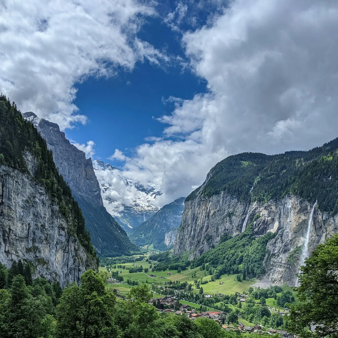
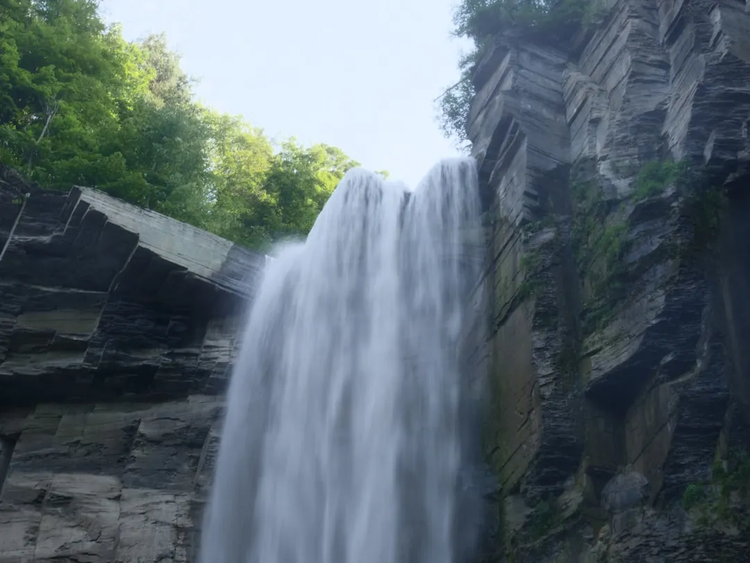
If you have ever hiked to a waterfall in the Finger Lakes and noticed a side gorge perched above the main valley, you were literally standing in a glacial leftover called a hanging valley. Large glaciers carved the main troughs very deeply, while smaller tributary glaciers cut shallower valleys that joined at higher elevations. When the ice melted, those shallower side valleys were left “hanging” above the main one.
Water, being stubborn, simply followed gravity and tumbled over the edge. Over time, streams flowing from these higher hanging valleys carved steep gorges and spectacular waterfalls, like those around Ithaca and Watkins Glen. These cascades are not just pretty backdrops for Instagram photos; they are visual proof of how unevenly and aggressively the glaciers bit into different parts of the landscape.
4. Moraines: Glacial Ridges That Quietly Dammed the Lakes
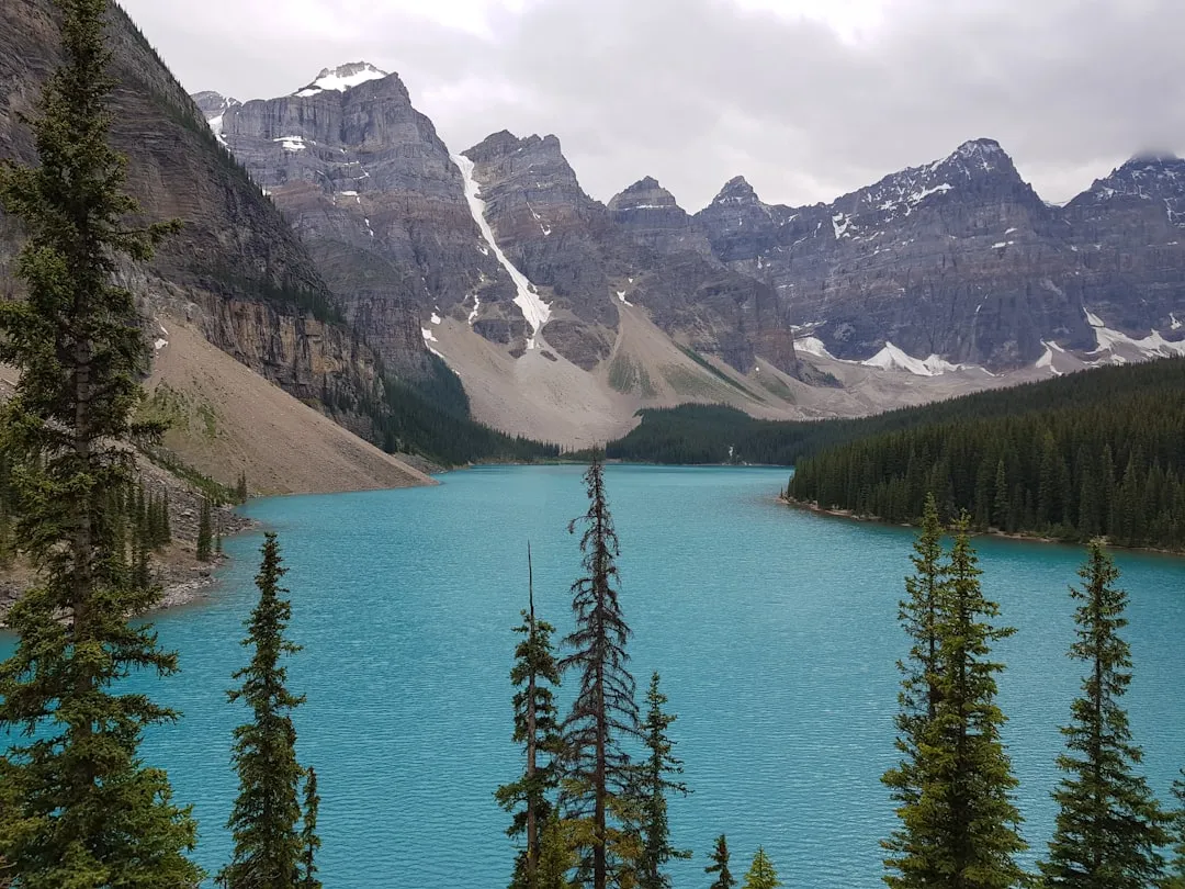
Even the endpoints of the lakes tell a glacial story. As ice margins stalled or paused during retreat, they dumped piles of rock, gravel, sand, and debris they had been carrying. These accumulations, known as moraines, often formed ridges at the lower ends of the valleys. In several Finger Lakes, such morainic ridges helped block meltwater from draining away freely, effectively acting like natural dams.
Picture a conveyor belt of ice bringing everything from fine silt to boulders, then suddenly parking and unloading for centuries. When the ice finally vanished, those ridges remained in place, restricting outflow and helping trap water in the overdeepened basins behind them. Without these subtle but crucial glacial dams, many of the Finger Lakes would likely be much shallower, or in some cases perhaps only marshy valleys rather than iconic deep lakes.
5. Glacial Till and Drumlin Fields: Sculpting the Land Between the Lakes
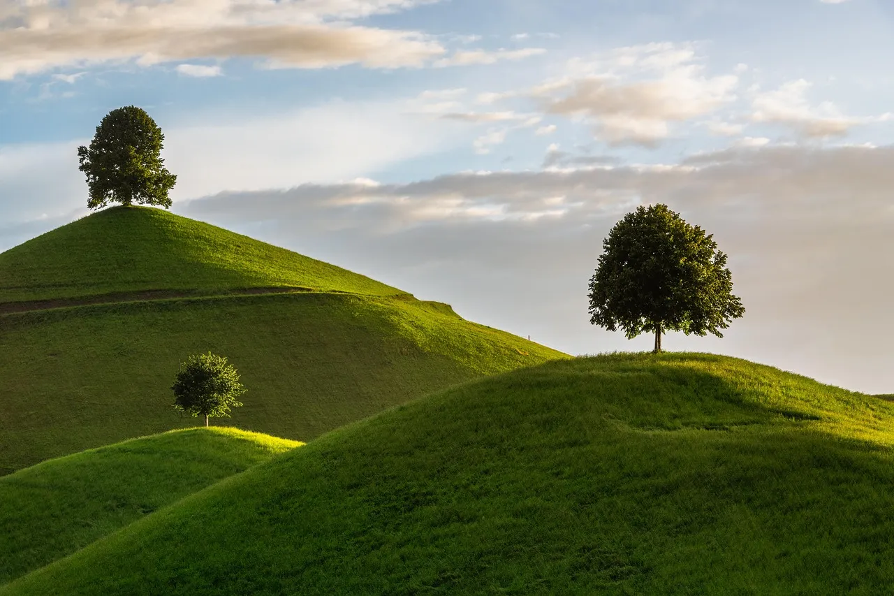
The glaciers did not just carve valleys; they also molded the landscape between them. As ice advanced and retreated, it left behind a messy mixture of unsorted sediment called till, ranging from clay to massive boulders. In some areas north of the Finger Lakes, this till was reshaped into streamlined hills called drumlins, aligned roughly in the direction of ice flow.
These drumlins and till-covered uplands play a subtle but powerful role in how water moves toward the lakes today. They affect soil depth, drainage patterns, and even the microclimates that now support vineyards. The gentle hummocky feel of the land between lakes is not a coincidence; it is the ghost imprint of ice that once flowed over everything, smoothing some areas and piling up debris in others like a giant, absent-minded landscaper.
6. Meltwater Channels and Outwash Plains: How Glacial Plumbing Shaped Today’s Streams
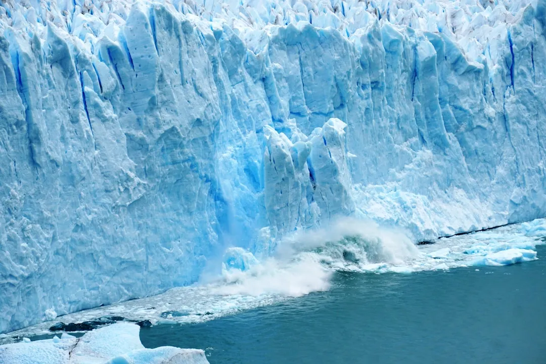
While the glaciers were melting, enormous amounts of water had to escape somewhere. This meltwater did not follow today’s quiet creeks in a simple way; it blasted through the landscape in powerful channels, cutting new paths and reworking old ones. Some of the present-day valleys and stream courses in the region trace back to these temporary torrents that formed beneath, within, or alongside the ice.
As meltwater slowed down, it dropped its load of sand and gravel in broad, flat areas known as outwash plains, especially beyond the ends of the glacial valleys. These outwash deposits now underlie parts of the lowlands where towns, farms, and roads have been built. Modern streams often snake across or along the edges of these ancient glacial riverbeds, quietly guided by sediment that was laid down in an environment more like the edge of an ice sheet than the gentle countryside you see now.
7. Layered Sediments and Lake Floors: The Quiet Record of Ice and Water
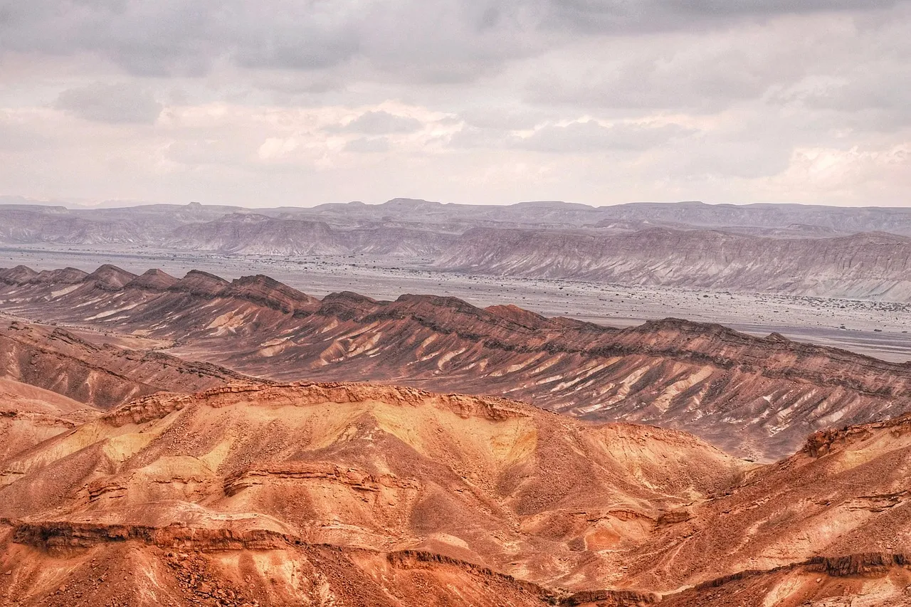
Beneath the shimmering surfaces of the Finger Lakes lies a layered archive of their glacial past. As the lakes formed and stabilized, fine silt and clay settled to their bottoms year after year, creating thin layers that scientists can read like pages in a book. These lake-floor sediments often rest directly on top of scoured and polished bedrock carved by the glaciers.
Over thousands of years, organic material, microscopic organisms, and mineral particles accumulated, recording changes in climate, vegetation, and erosion in the surrounding basin. When scientists drill cores from lake bottoms, they can trace the region’s shift from an icy world to the warmer, forested landscape we live in now. In other words, the glaciers carved the basins, but the lakes themselves quietly wrote the story of everything that happened afterward.
8. Microclimate and Modern Landscapes: How Ancient Ice Shapes Life Today
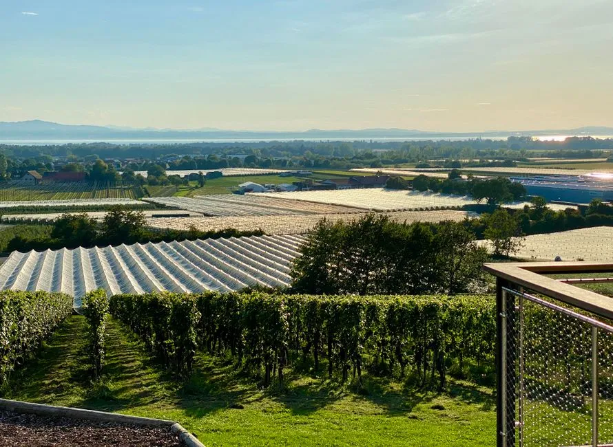
What might be the most underrated glacial legacy is not just the landforms, but the way they control climate and life around the lakes today. Deep, narrow lakes store heat and release it slowly, moderating temperatures along their shores. That is a major reason why grapevines flourish on certain slopes in the Finger Lakes, where frosts are delayed and winters feel a bit softer than on the surrounding uplands.
The glaciers unintentionally set up a perfect experiment: carve deep water-filled troughs, surround them with rolling hills, and then let humans figure out how to use those subtle climate advantages. The region’s famous wine industry, its tourism appeal, and even where communities were built all trace back to glacial architecture. The fact that a wall of ice long gone still nudges what grows where, what people do for a living, and how the landscape feels on a cold October evening is both humbling and strangely comforting.
Conclusion: A Landscape Designed by Ice, Lived In by Us
It is tempting to look at the Finger Lakes and think only of cozy cabins, tasting rooms, and scenic overlooks, but that risks turning a raw, powerful story into just a pretty backdrop. The truth is that everything we admire here is layered on top of a brutal, patient reshaping by ice that gouged valleys, dammed water, and rearranged entire drainage systems. In my view, that makes the region more impressive, not less; our favorite views exist precisely because nature did not go easy on this place.
When you stand on a lakeshore now, you are basically standing inside a fossil of the last ice age, repurposed into a modern playground of farms, vineyards, and small towns. That mix of deep time and everyday life is what gives the Finger Lakes their quiet intensity: they are beautiful, but they are also evidence. Next time you trace a map and see those narrow blue streaks, will you still see just lakes, or will you picture the ice that carved them and the world that rose in its wake?

- 8 Ways Glaciers Carved New York's Finger Lakes - August 10, 2026
- 8 Ways Bobcats Move Through Suburbs Without Being Seen - August 9, 2026
- 7 Reasons Black Bears Return to the Same Food Source - August 9, 2026