Shifting Patterns End Brutal Freeze (Image Credits: Static.independent.co.uk)
Millions across the eastern United States savored milder temperatures this week following a relentless cold snap that gripped the region for weeks.
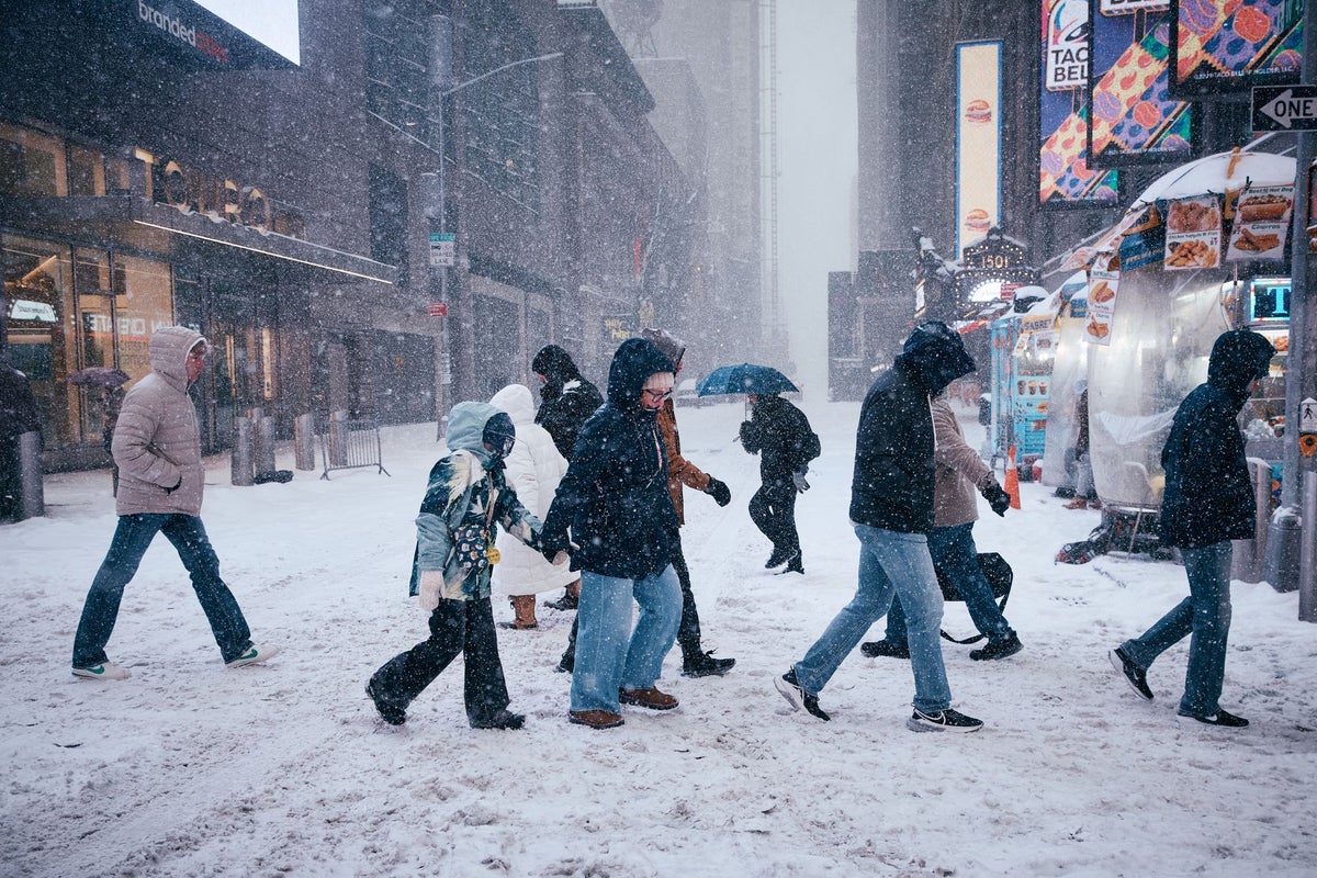
Shifting Patterns End Brutal Freeze
Forecasters noted a decisive change as the polar vortex’s influence waned. Temperatures climbed above seasonal norms in many areas starting February 11.[1]
Communities that endured subzero readings and wind chills in the double digits finally saw highs in the 40s and 50s Fahrenheit. This relief arrived after a January-February cold wave that blanketed much of North America in extreme chill.[2]
The transition stemmed from shifting upper-air patterns. High-pressure systems retreated, allowing warmer air to surge northward. Residents in the Mid-Atlantic and Northeast reported clearer skies and reduced heating demands for the first time in over a month.
New Snow Threats Emerge Quickly
Even as thermometers rose, meteorologists issued warnings for fresh winter weather. A clipper system recently dumped snow across the Northeast, with lighter lake-effect flurries following in some spots.[3][4]
Higher elevations in Vermont, New Hampshire, and Maine faced up to eight inches of accumulation, according to the Fox Forecast Center.[5] Urban centers along the I-95 corridor already logged above-average seasonal snow totals, marking a reversal from recent dry winters.[6]
Travel disruptions persisted in pockets where roads remained slick. Freezing drizzle affected parts of New York City suburbs and Long Island, complicating the morning commute.
Forecast Breakdown by Region
The warmup proved uneven. While the East Coast thawed, the West anticipated heavier snow in coming weeks to bolster low water supplies.[7]
- Northeast: Milder air through mid-February, but clipper storms pose 3-8 inches in mountains.
- Mid-Atlantic: Above-normal temperatures ahead, light wintry mix possible early next week.
- Great Lakes: Lake-effect snow bands target downwind areas into February 12.
- West: Colder conditions with accumulating snow in California and Rockies.
- South: Recovery from recent ice storms, minimal new threats.
National Weather Service outlooks favored above-normal precipitation in select zones, heightening flood risks as snowpack melts later.[8]
Winter’s Final Push Looms
Long-range models hinted at volatility. A potential polar vortex disruption could reinforce cold later in February, though probabilities remained low.[9] This season’s early storms, including a massive system in late January, set records for coverage and ice accumulation.[10]
Experts urged preparedness amid the thaw-snow cycle. Power outages from prior events lingered in rural areas, underscoring infrastructure strains.
Key Takeaways:
Winter’s grip loosens, yet its surprises endure – a reminder that February often delivers one last blast. How has the weather shift affected your plans? Share in the comments.
- Urban Coyotes Show Remarkable Adaptability, Learning to Thrive in City Environments - July 22, 2026
- Beavers Are Nature’s Engineers, Creating Vital Habitats for Other Wildlife Species - July 21, 2026
- The Recovery of the California Condor Offers Hope for Other Critically Endangered Birds - July 21, 2026