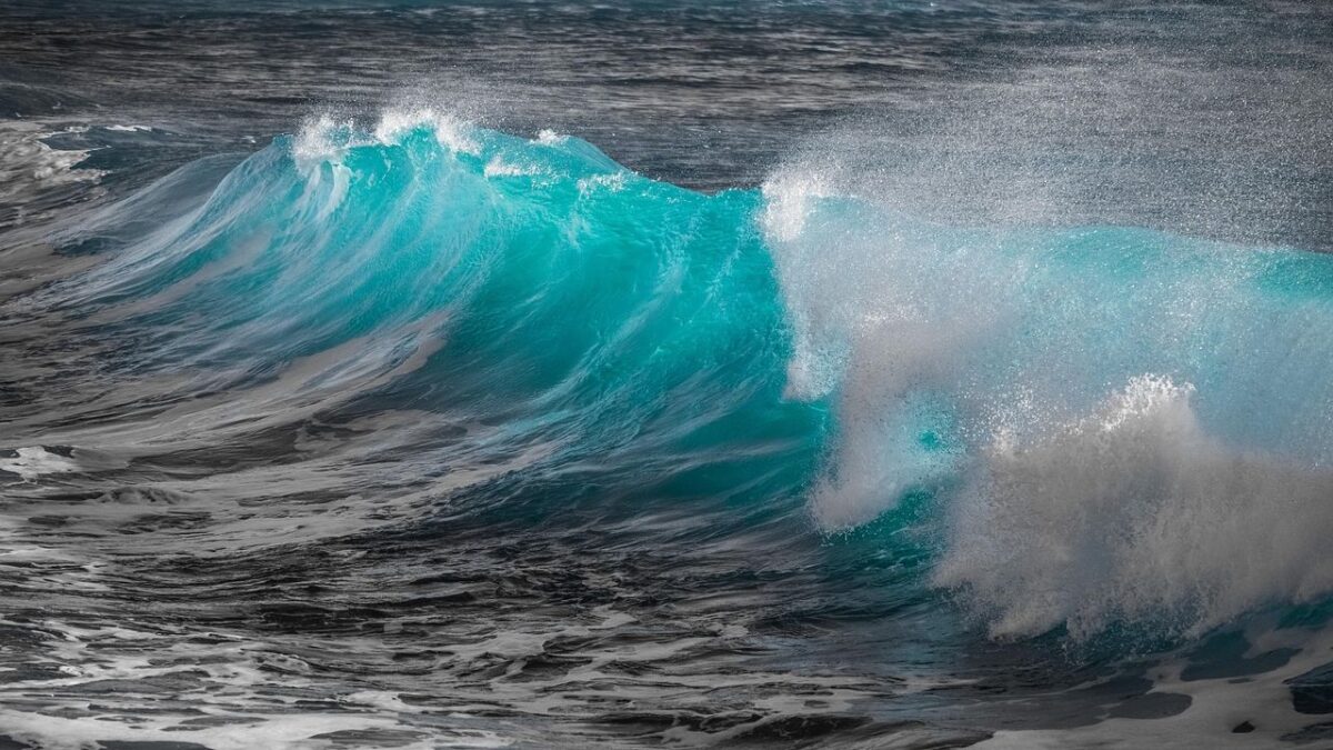
When you imagine a tsunami crashing onto American shores, you probably think of Hawaii or California. That makes sense. The Pacific Ocean has earned its reputation as tsunami central, thanks to the Ring of Fire and its abundance of active fault lines. Yet the Atlantic coast is something else entirely.
The East Coast doesn’t fit the typical tsunami profile, but that doesn’t mean it’s immune. There’s something unsettling about living near an ocean that most people assume is calm. Here’s the thing: while massive tsunamis are rare in the Atlantic, they’re not impossible. So let’s dive in and explore what scientists actually know about this risk and whether residents from Florida to Maine should be concerned.
Why the East Coast Isn’t Like the Pacific
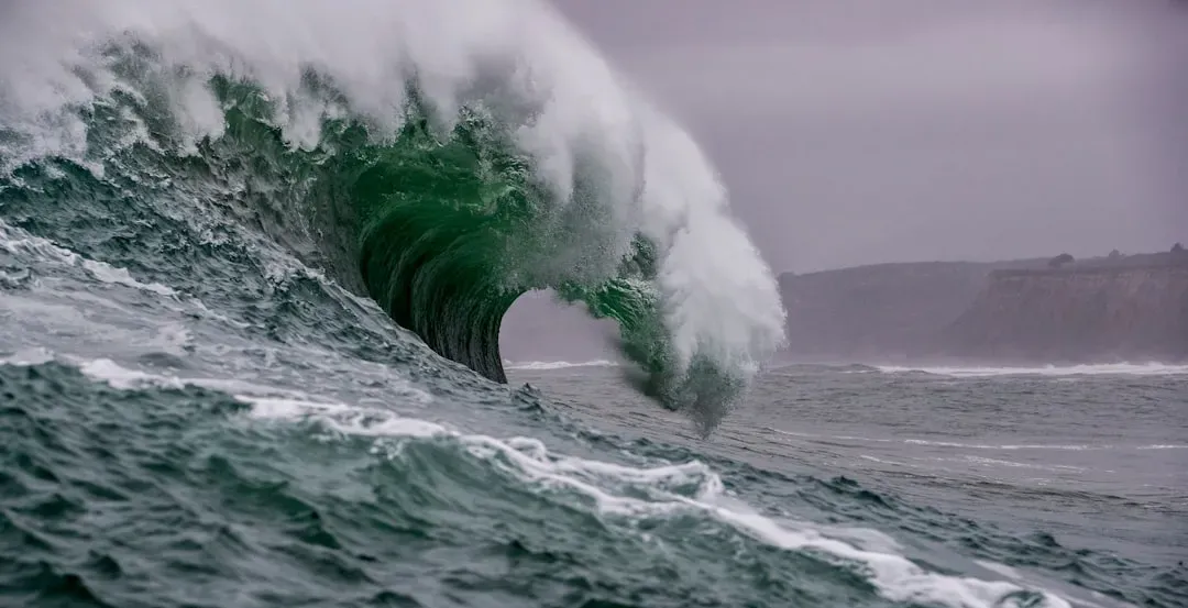
The Atlantic Ocean operates under completely different geological rules than the Pacific. The U.S. East and Gulf Coasts are not near subduction zones, and earthquakes are not as large or as frequent as in other regions. Subduction zones are those massive underwater collision sites where one tectonic plate slides beneath another, creating the kind of powerful earthquakes that generate devastating tsunamis. The Pacific has plenty of these danger zones, but the Atlantic? Not so much.
The only subduction zones in the Atlantic basin are along the eastern edge of the Caribbean Plate and the eastern edge of the Scotia Plate in the South Atlantic. These subduction zones are small and are not exceptionally active, which accounts for the low incidence of earthquake-generated tsunamis. So while the Caribbean region does face some tsunami risk, the mainland East Coast lacks that particular geological threat. Still, the absence of major fault lines doesn’t tell the whole story.
The Historical Record Tells a Quieter Story
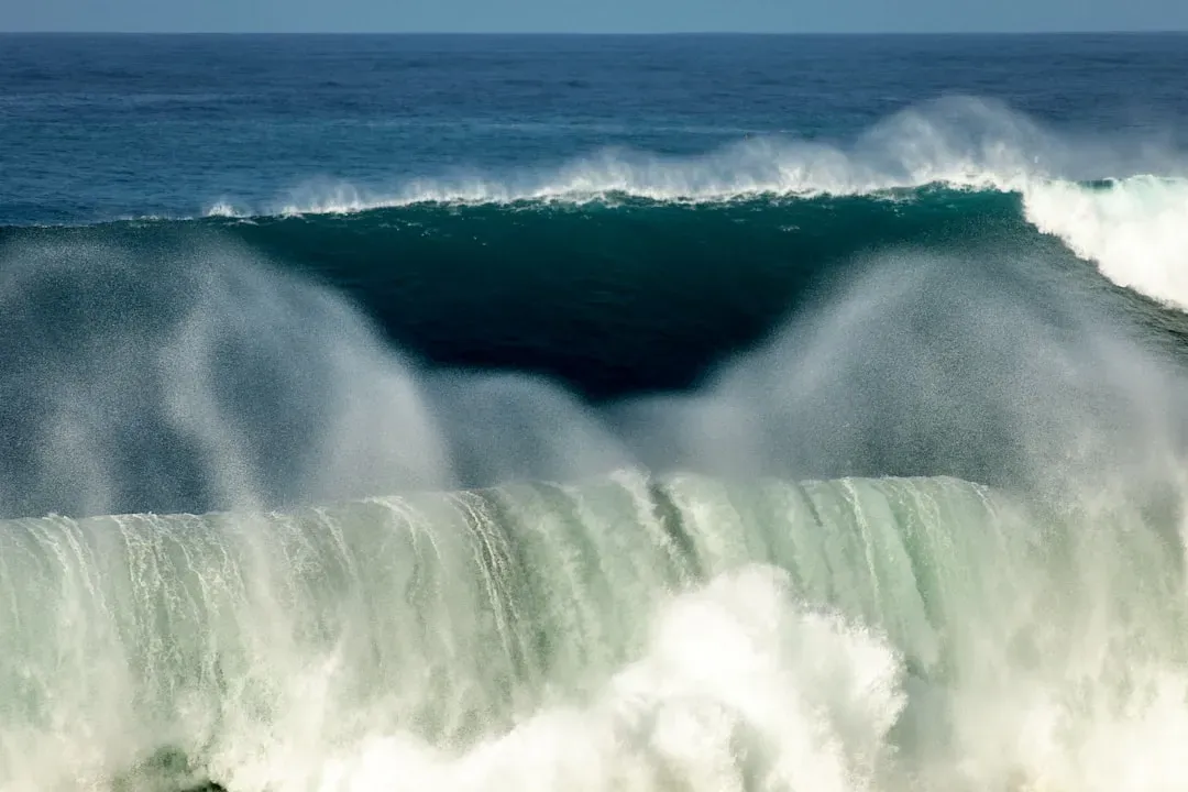
Let’s be real: tsunamis have happened on the East Coast before, just not the catastrophic kind. 40 tsunamis and tsunami-like waves have occurred in the eastern United States since 1600. That might sound alarming until you realize these events were mostly small and caused limited damage. The historical record shows that the Atlantic doesn’t produce the same kind of frequent, devastating tsunamis that plague the Pacific Rim.
In historic times, tsunami waves recorded along the Gulf Coast have all been less than 1 meter. There are a couple of early 20th-century reports of tsunami waves from Caribbean earthquakes along the Gulf Coast that are difficult to evaluate, but the wave heights all appear to be less than 1 meter. The most significant Atlantic event in modern times was a magnitude 7.4 earthquake on November 18, 1929, 250 km south of Newfoundland along the southern edge of the Grand Banks, Canada. It triggered a large submarine slump which ruptured 12 transatlantic cables in multiple places and generated a tsunami. That tsunami killed people in Newfoundland, but the impact along the US mainland was minimal.
Underwater Landslides: The Real Hidden Danger
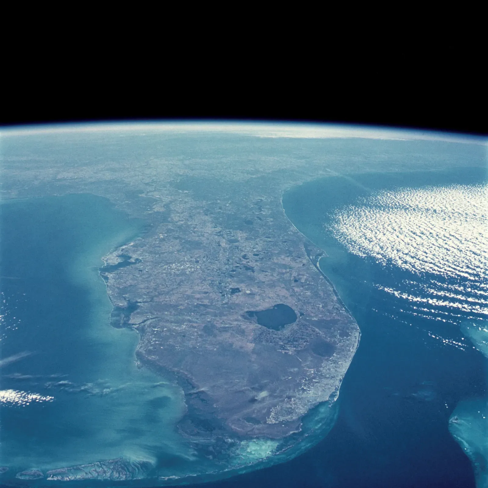
Here’s where things get interesting, and maybe a bit unsettling. The most likely sources of tsunamis on these coasts are underwater landslides and meteotsunamis. The continental shelf edge along the Mid-Atlantic is dotted with sediment deposits, accumulated over millennia from rivers like the Hudson and the Chesapeake Bay outflows. If something nudges that sediment into the deep ocean basin, you’ve got a potential tsunami on your hands.
Potential landslides on the outer continental shelf and slope along the Mid-Atlantic coast could trigger tsunamis that might have devastating effects on populated coastal areas. Scientists have discovered cracks along the edge of the continental shelf that could signal instability. Wave heights similar to the storm surge from a category 3 or 4 hurricane, up to several meters above normal, could occur along the Virginia-North Carolina coastline and lower Chesapeake Bay, the areas of highest risk. The problem? We don’t have a warning system specifically designed to detect landslide-induced tsunamis, unlike earthquake-triggered ones.
The Canary Islands Megatsunami Myth
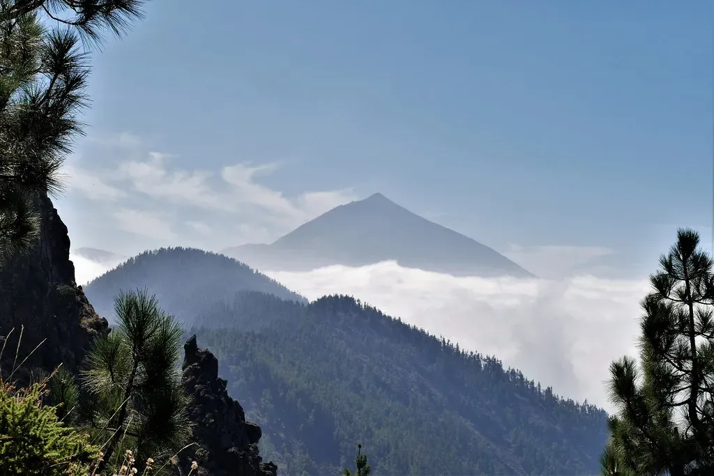
You’ve probably heard the disaster movie scenario: the Cumbre Vieja volcano in the Canary Islands collapses into the Atlantic, sending a monster wave toward the American coast. It’s terrifying, cinematic, and largely debunked by modern science. Studies show that a Canary Islands eruption and collapse might reach the US with a maximum wave height similar to a storm surge at one to two metres, not the 25-metre waves depicted in La Palma.
A lack of geologic evidence also calls the “mega-tsunami” hypothesis into question. No such deposit has ever been identified on the east coasts of North and South America. If massive tsunamis had repeatedly struck the Atlantic coastline in the past, we’d see the evidence in sediment layers. We don’t. The recurrence rate of similar collapses is extremely low, about one every 100,000 years or less in the case of the Canary Islands. Honestly, you’ve got far more pressing concerns than a hypothetical mega-tsunami from across the ocean.
Small But Frequent: Meteotsunamis You Never Noticed
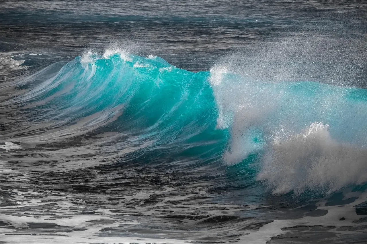
Now here’s something most people don’t know. On average, the U.S. East Coast experiences about 25 meteotsunamis per year – though most are less than 1.5 feet high and relatively harmless. Meteotsunamis are generated by atmospheric disturbances like severe storms, not seismic activity. They’re basically rapid changes in air pressure that create waves behaving like small tsunamis.
Most meteotsunamis pass unnoticed, causing minor fluctuations in water levels that only specialized equipment can detect. Yet occasionally they can pack a punch. A series of large waves rolled into New Jersey’s Barnegat Inlet six years ago, dragging a group of divers up and over a breakwater. The waves then crashed into a jetty where they knocked people into the water, causing injury and property damage. These events remind us that the ocean is unpredictable, even without major earthquakes.
What Scientists Are Doing About It
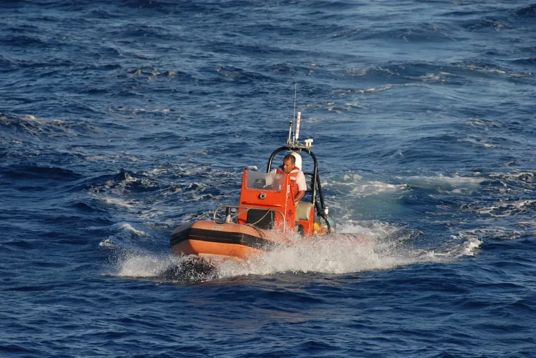
The good news? Scientists aren’t sitting idle. While the probability of a tsunami affecting the US East Coast is relatively low, comprehensive planning allows governments to be proactive, mitigate risks, and protect lives and infrastructure. Research teams are mapping the continental shelf, taking sediment core samples, and using computer models to predict where tsunamis might strike and how far inland they could reach.
The U.S. network consists of 39 DART systems located throughout the Pacific and Atlantic Oceans, the Gulf of Mexico, and the Caribbean Sea. These Deep-ocean Assessment and Reporting of Tsunami systems measure pressure changes on the ocean floor, detecting passing tsunamis in real time. The National Tsunami Warning Center monitors the East Coast continuously, ready to issue alerts if something unusual happens. For a return period of 2,500 years, the USEC would face high tsunami hazard, with widespread destruction possible. That may sound distant, but emergency planners take those timescales seriously.
So, could a tsunami hit the East Coast? Absolutely. Will it be the apocalyptic wall of water from disaster films? Probably not. The real threats are localized underwater landslides and distant earthquakes in the Caribbean, not volcanic collapses in the Canary Islands. Living on the Atlantic coastline carries risks, just different ones than the Pacific. Stay informed, know your evacuation routes, and remember that nature always holds a few surprises. What would you do if you had just minutes to get to higher ground?