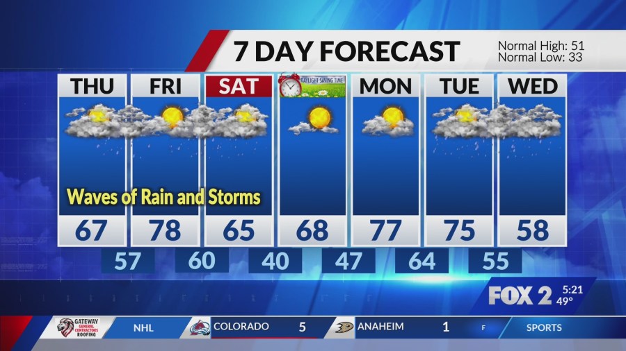
Storms Stir Anew Overnight (Image Credits: Fox2now.com)
Kansas – Scattered thunderstorms reemerged early Wednesday morning following a brief pause in persistent rains, heightening concerns for strong to severe weather across south-central and southeastern parts of the state.[1][2]
Storms Stir Anew Overnight
A few showers and thunderstorms developed late Tuesday night, pushing into Wednesday morning primarily over southern and southeast Kansas. Forecasters noted potential for some storms to intensify quickly, with activity expected to peak before the morning rush hour. Conditions included fog and drizzle in eastern areas, complicating travel.[1]
Temperatures hovered in the low 40s to 50s amid cloudy skies and high precipitation chances nearing 100 percent until around 8 a.m. in Wichita. The system brought small hail and gusty winds to isolated spots, though most threats diminished by mid-morning. Residents reported slick roads from earlier accumulations.[2]
Primary Hazards Take Shape
Main risks centered on hail up to quarter size and damaging wind gusts, marking these storms as marginally severe. Strong low-level winds fueled storm development, particularly along the leading edges. While tornado potential remained low, isolated severe cells posed dangers to structures and vehicles.[1]
Here are the key threats outlined by meteorologists:
- Quarter-sized hail as the primary concern in stronger storms.
- Gusty winds capable of downing tree limbs and power lines.
- Heavy downpours leading to minor flooding on poor-drainage roads.
- Lightning strikes prompting outdoor safety advisories.
- Reduced visibility from fog in eastern Kansas overnight.
Regional Ripples Extend Outward
The disturbance affected a broader swath from the southern Plains to the Ohio Valley, where numerous showers and thunderstorms carried severe potential. In the Ozarks, early morning wetness disrupted commutes, with additional strong storms forecast for afternoon and evening south of Interstate 44. Damaging winds and large hail dominated there too.[3][4]
National Weather Service updates highlighted repeating storm bands that could spark flash flooding in vulnerable valleys. Central Oklahoma and Missouri also braced for elevated activity overnight into Wednesday.[5]
Multiple Rounds Mark Busy Week
This episode formed part of an active pattern delivering repeated rain and storm chances through the weekend. Storms eyed eastward movement late Thursday into Friday, with large hail, damaging winds, and heavy rain as top worries. A dryline and cold front could spawn supercells Friday afternoon, introducing tornado risks in central Kansas.[1]
Thursday offered scattered rain mainly in northern Arkansas, while Friday highs reached the mid-70s ahead of windy conditions. The pattern promised 2-3 inches of total rainfall by week’s end, easing drought but straining rivers.[4]
| Day | High Temp | Storm Risk |
|---|---|---|
| Wednesday | 50s | Strong to severe morning |
| Thursday | ~70°F | Scattered rain |
| Friday | Mid-70s | Severe supercells possible |
Key Takeaways
- Monitor local alerts for hail and wind impacts Wednesday morning.
- Expect wet roads and potential power outages in affected areas.
- Prepare for ongoing rain through Friday, with severe threats peaking late week.
As the wet pattern endures, communities across Kansas and neighboring states must stay weather-aware to navigate safely. Multiple disturbances ensure no quick end to the activity. What impacts have you noticed from these storms? Share in the comments below.
- Urban Coyotes Show Remarkable Adaptability, Learning to Thrive in City Environments - July 22, 2026
- Beavers Are Nature’s Engineers, Creating Vital Habitats for Other Wildlife Species - July 21, 2026
- The Recovery of the California Condor Offers Hope for Other Critically Endangered Birds - July 21, 2026