
Storms Fire Up on Day One (Image Credits: Upload.wikimedia.org)
Central and Southern Plains – Millions across Texas, Oklahoma, Kansas and surrounding states face a prolonged severe weather episode through the weekend, complete with large hail, damaging winds and isolated tornadoes.[1][2][3]
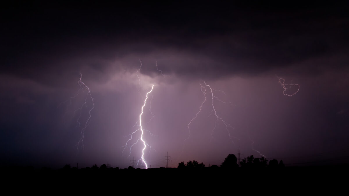
Storms Fire Up on Day One
A Slight risk covers areas from north-central Texas to the Lower Ohio Valley today into tonight. The Storm Prediction Center highlighted potential for large hail and localized wind damage, with a tornado or two possible near key surface boundaries.[1]
Scattered thunderstorms developed this morning across parts of Oklahoma and Kansas before shifting northeast. Afternoon activity focused closer to a stalled front, where supercells and clusters could produce the worst hazards. Dewpoints in the low 60s supported instability up to 1500 J/kg, paired with shear exceeding 35 knots.[1]
Thursday Brings Renewed Intensity
The threat reloads Thursday afternoon through night with a Slight risk over the southern and central Plains, including the Texas Panhandle, western Oklahoma and south-central Kansas. Marginal risks extend to broader central Plains areas up to the mid-Missouri Valley.[2]
Storms should ignite near a dryline on the Caprock of west Texas, evolving into supercells capable of large hail, severe gusts and a couple of tornadoes. Elevated convection overnight farther north could add isolated hail and gusts. Cities like Lubbock, Amarillo, Oklahoma City and Wichita sit squarely in the path.[2]
Moderate shear around 35 knots and steep lapse rates bolster the organized storm potential, though upscale growth may limit longevity in some spots.
Friday Marks Peak Concern
Forecasters issued an Enhanced risk Friday for the southern and central Plains into the lower Missouri Valley, flanked by Slight and Marginal risks stretching to Chicago and San Antonio. This setup promises the broadest coverage yet.[3]
A potent upper trough and jet streak fuel supercell clusters with very large hail exceeding 2 inches, severe winds and strong tornadoes. Dewpoints in the mid-60s and shear near 50 knots create a volatile environment from Oklahoma City to Kansas City.[3]
| Day | Risk Level | Main Areas | Key Threats |
|---|---|---|---|
| March 4 | Slight | N. TX to OH Valley | Large hail, winds, isolated tornadoes |
| March 5 | Slight | TX Panhandle to KS | Large hail, severe gusts, tornadoes |
| March 6 | Enhanced | OK to MO Valley | >2″ hail, strong tornadoes, winds |
Cities and Hazards in the Crosshairs
Populations exceeding 30 million fall under at least Marginal risk by Friday. High-impact zones include:
- Dallas-Fort Worth and Arlington, Texas
- Oklahoma City and Tulsa, Oklahoma
- Wichita and Kansas City, Kansas/Missouri
- Omaha and Lincoln, Nebraska
- St. Louis, Missouri, and Chicago, Illinois
Common dangers span large hail, gusts over 70 mph and supercell tornadoes, with flash flooding as a secondary worry from repeated rounds.[4]
Key Takeaways
- SPC’s new outlook format debuted this week, emphasizing storm intensity alongside probability.
- Friday’s Enhanced risk signals the event’s climax, with supercells possible into overnight.
- Stay vigilant through the weekend as additional storms loom next week.
This early-season barrage underscores March’s volatile reputation, with over 1,700 tornadoes logged nationwide since 2010. What steps are you taking to prepare? Share in the comments.
- Urban Coyotes Show Remarkable Adaptability, Learning to Thrive in City Environments - July 22, 2026
- Beavers Are Nature’s Engineers, Creating Vital Habitats for Other Wildlife Species - July 21, 2026
- The Recovery of the California Condor Offers Hope for Other Critically Endangered Birds - July 21, 2026