Powerful Storms Target Border Counties Early (Image Credits: Unsplash)
Southeast Missouri and southwest Illinois – Residents navigated lingering thunderstorms Saturday morning before rains began to dissipate, signaling the arrival of cooler air masses.
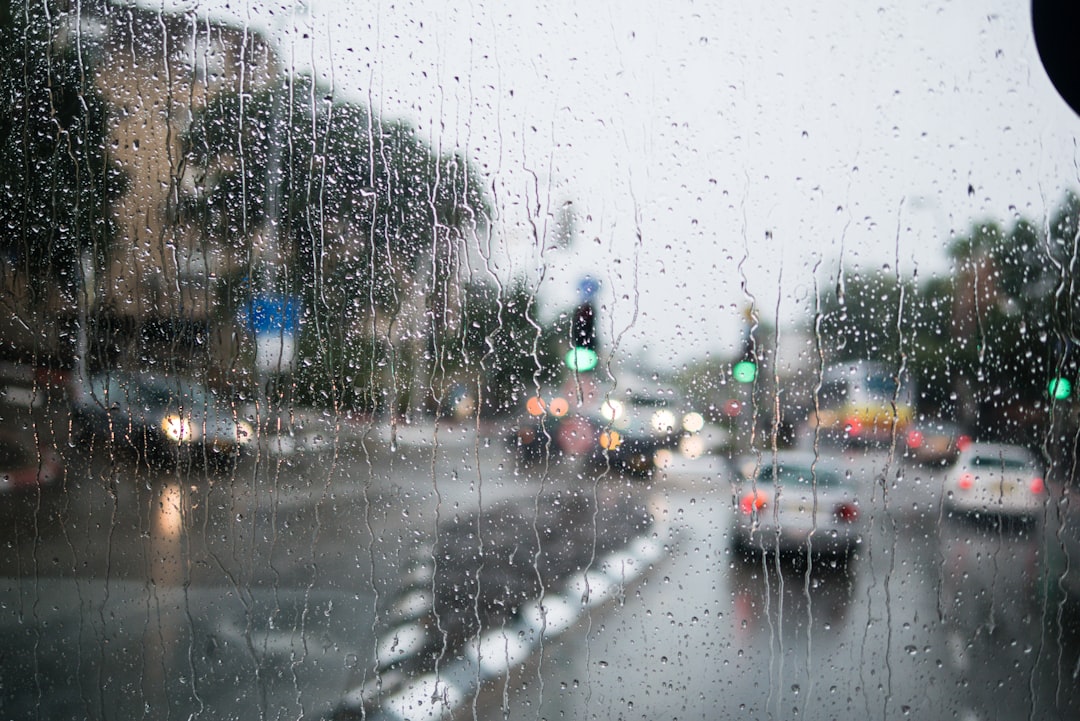
Powerful Storms Target Border Counties Early
The most intense segment of the storm line hammered southeast Missouri and southwest Illinois, producing the heaviest thunder and downpours visible on radar.[1]
These areas bore the brunt of the system’s fury as widespread precipitation swept through the region. Heavy bursts raised concerns for localized issues. Conditions improved steadily from the northwest eastward later in the morning. Drivers encountered wet roads, particularly in low-lying spots.[2]
Flood Risks Remain Limited Despite Intense Rains
Forecasters noted potential for flash flooding from the heaviest rains, though threats stayed confined to brief, isolated spots. No widespread inundation materialized as the system progressed.[1]
Officials urged caution around creeks and underpasses during the peak. Slick surfaces persisted into midday for some motorists. The quick exit of moisture helped mitigate longer-term problems. Areas like Cape Girardeau reported ongoing slick conditions post-storm.[2]
Temperatures Plunge Through Saturday Afternoon
Early readings hovered in the low to mid-60s before the cold front drove highs down into the 50s later in the day. Cloudy to mostly cloudy skies dominated the afternoon hours.
Overnight lows dipped to the upper 30s or near 40 degrees as skies began to clear. Winds shifted, contributing to the noticeable chill. This marked a stark contrast from prior warmth. Residents reached for jackets sooner than expected.[1]
Weekend Outlook Brightens with Warming Trend
Sunday promised mostly sunny conditions with highs reaching the mid-60s, offering a pleasant rebound. A warmup extended into Monday and Tuesday.
However, another system loomed by Tuesday, elevating rain chances that carried over into Wednesday morning. The brief respite allowed for outdoor plans over the weekend.
| Day | Expected High | Sky Conditions |
|---|---|---|
| Saturday Afternoon | 50s | Cloudy to mostly cloudy |
| Saturday Night | Upper 30s-40 | Clearing |
| Sunday | Mid-60s | Mostly sunny |
| Monday-Tuesday | Warming | Mostly dry until late |
- Strongest activity concentrated in southeast Missouri and southwest Illinois.
- Rain departure pattern: northwest to east.
- Cold front responsible for afternoon cooldown.
- Flash flooding risk: limited and short-lived.
- Sunday rebound: ideal for weekend activities.
Key Takeaways
- Morning storms cleared rapidly, minimizing disruptions.
- Temperature drop highlighted the front’s influence.
- Sunny Sunday sets stage for midweek rain return.
As the cold front reshapes local patterns, Sunday’s sunnier skies provide a welcome breather before the next round of wet weather. What are your plans for the nicer weekend day? Tell us in the comments.
- Urban Coyotes Show Remarkable Adaptability, Learning to Thrive in City Environments - July 22, 2026
- Beavers Are Nature’s Engineers, Creating Vital Habitats for Other Wildlife Species - July 21, 2026
- The Recovery of the California Condor Offers Hope for Other Critically Endangered Birds - July 21, 2026