Record Heat Looms Midweek (Image Credits: Flickr)
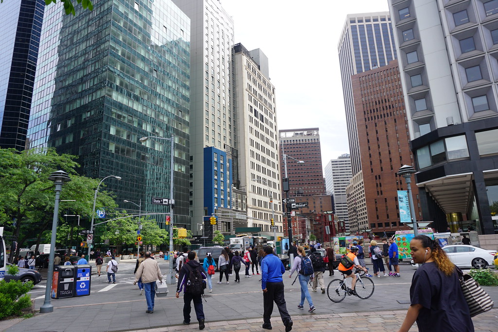
New York City – Residents savored a taste of spring on Monday despite gusty winds and gray skies that fell short of expectations. Crowds gathered at beaches like Brighton Beach in Brooklyn, bundling up on the boardwalk while dipping toes in the chilly Atlantic.[1] Forecasters now predict a dramatic shift, with summer-like highs in the upper 80s arriving by midweek before a cold front ushers in the 50s next week.[1][2] This roller-coaster pattern underscores the unpredictable nature of early spring in the region.
Beachgoers Defy the Chill
Even as Monday’s high struggled to reach the mid-70s, New Yorkers emerged from a brutal winter eager for outdoor time. At Brighton Beach, families walked dogs and celebrated milestones amid the brisk air. Carol Pittman marked her 75th birthday there, declaring, “It’s beautiful – I’m not at all disappointed.” She noted the sand still held warmth from prior days.[1]
Senior meteorologist Matt Benz with AccuWeather observed that the day “didn’t do its part” in delivering ideal spring conditions. Still, the relative mildness drew people outside after recent seesawing temperatures. Lows hovered around 62 degrees overnight into Tuesday, setting the stage for escalation.[1]
Record Heat Looms Midweek
Tuesday through Thursday promise the hottest stretch yet, with highs pushing into the low to upper 80s – well above April norms. The National Weather Service flags potential record-breakers, especially Wednesday.[1] Conditions stay mostly dry and partly cloudy, though stray showers remain possible.
| Date | High/Low (°F) | Conditions |
|---|---|---|
| Tue, Apr 14 | 82/65 | Partly Cloudy |
| Wed, Apr 15 | 85/66 | Partly Cloudy |
| Thu, Apr 16 | 86/67 | Partly Cloudy |
| Fri, Apr 17 | 76/57 | PM Showers |
Data from Weather Underground shows this spike could feel like midsummer away from the coast.[2] The Weather Channel aligns closely, forecasting 83 degrees Tuesday and near-record warmth Wednesday.[3]
Cold Front Brings Swift Reversal
Relief from the heat arrives over the weekend as a cold front sweeps through. Friday highs dip to the mid-70s with possible afternoon showers, followed by cooler air masses. By Sunday, expect around 63 degrees, plummeting to the low 50s Monday – six degrees below average.[1]
Forecasts indicate overnight lows near freezing early next week, with partly cloudy skies prevailing. Precipitation chances rise slightly over the weekend but ease thereafter. This plunge follows a pattern seen earlier in spring, where warm surges yield to wintry reminders.[2]
Extended outlooks suggest gradual rebounding into the 60s by mid-next week, though variability persists.
Preparing for the Swings
Such volatility demands flexible wardrobes and plans. Urban dwellers should prioritize layers for rapid changes.
- Pack light clothing for midweek highs but keep jackets handy for evenings and next week.
- Monitor air quality during warm spells, as humidity could elevate discomfort.
- Secure outdoor items ahead of gusty winds accompanying fronts.
- Stay hydrated in the heat; pollen levels may surge with warmer air.
- Check transit updates, as showers could snarl commutes Friday.
Event organizers face challenges too, balancing sunny patios one day with indoor backups the next.
Key Takeaways
- Midweek highs near 85°F offer a summer preview before weekend cooldown.
- Next Monday’s 50s signal a return to typical spring chill.
- Layer up and stay informed via National Weather Service updates.
New Yorkers have weathered such swings before, turning them into city lore. This forecast reminds everyone of spring’s capricious charm. What are your plans for the warm days ahead? Share in the comments.
- Urban Coyotes Show Remarkable Adaptability, Learning to Thrive in City Environments - July 22, 2026
- Beavers Are Nature’s Engineers, Creating Vital Habitats for Other Wildlife Species - July 21, 2026
- The Recovery of the California Condor Offers Hope for Other Critically Endangered Birds - July 21, 2026