
A Chilly Dawn with Lingering Snow (Image Credits: Upload.wikimedia.org)
The Mid-Atlantic region entered the new year under the influence of a potent Arctic air mass that arrived overnight, setting the stage for unseasonably cold conditions across the area.
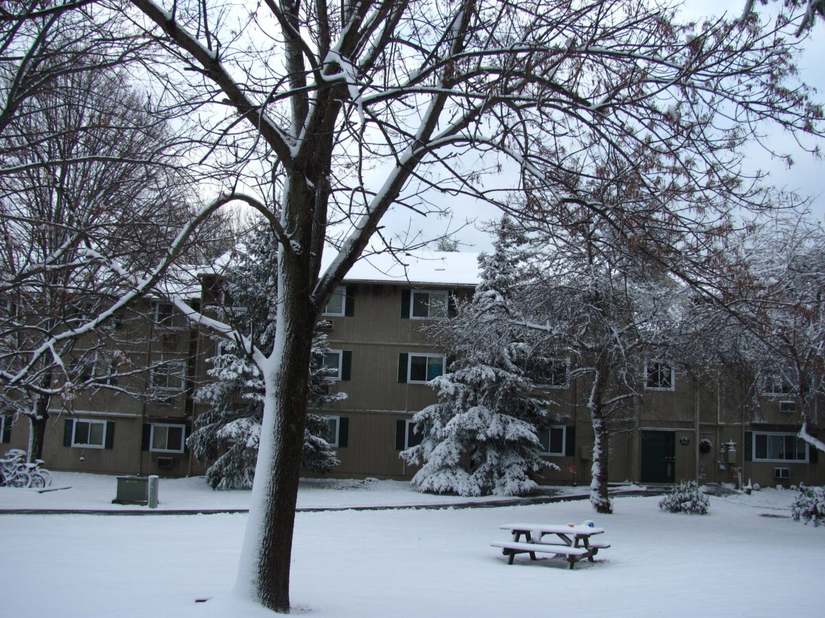
A Chilly Dawn with Lingering Snow
Residents awoke to brisk temperatures as the reinforcing Arctic air settled in behind a cold frontal system that swept through late Thursday night. Early Friday morning brought scattered residual snow showers, particularly in higher elevations and northern pockets of the region. By mid-morning, skies cleared to partly sunny, though northwest winds picked up, gusting as high as 30 miles per hour and adding a bite to the already low readings.
Daytime highs struggled to reach the upper 20s in many locations, well below seasonal norms for early January. The combination of clear skies and gusty winds created ideal conditions for rapid cooling after sunset, with overnight lows dipping into the teens. Travel remained cautious on untreated roads where light snow accumulations persisted from the frontal passage. Meteorologists noted that this air mass marked a significant shift from the milder patterns of late December.
Cold Persists Through the Weekend
The Arctic influence showed no signs of relenting soon, with forecasts indicating below-normal temperatures holding steady through Sunday. Highs warmed only slightly into the low 30s by Saturday, accompanied by continued breezy conditions from the northwest. Partly cloudy skies dominated, offering brief respites from the chill but little relief from the pervasive cold.
Sunday promised similar weather, with another layer of dry Arctic air reinforcing the pattern and preventing any meaningful warmup. Winds eased somewhat, but the overall feel remained wintry, prompting advisories for frost and freeze in vulnerable areas. This extended cold spell aligned with broader seasonal expectations for a La Niña-influenced winter, which often brings variable but frequently harsh outbreaks to the Upper Mississippi Valley and eastward. Officials urged preparation for potential heating demands and safe outdoor activities.
Southern Low Pressure System Looms as Wild Card
Attention now turns to a developing low pressure area in the Southeast United States, expected to organize by Saturday. This system could track northward, brushing the southern fringes of the Mid-Atlantic and introducing uncertainty to the otherwise stable cold regime. While models suggested it might remain offshore or inland to the south, a northwestward shift remained possible, potentially delivering wintry precipitation.
If the storm edges closer, light snow or a wintry mix could affect coastal and inland spots late Saturday into Sunday. Forecasters monitored the setup closely, as the interaction with the entrenched Arctic air heightened the risk for impactful weather. Even a glancing blow might accumulate a few inches in favored areas, complicating weekend plans. For now, the primary threat stayed confined to the Southeast, but updates continued to refine the track.
Seasonal Context Shapes the Cold Snap
This early January chill fit into a winter outlook influenced by ongoing La Niña conditions, which carried a 61% chance of persisting through the season before transitioning to neutral by March. Such patterns often amplified Arctic air intrusions into the eastern United States, leading to below-average temperatures and enhanced snowfall potential in the Northeast and Mid-Atlantic. Recent forecasts from sources like the National Weather Service highlighted the role of oscillations such as the Arctic Oscillation in steering cold masses southward.
Precipitation varied widely, with the region poised for drier-than-normal spells interspersed with storm events. Posts on social media platforms echoed public awareness of the Arctic blast, with discussions focusing on travel disruptions and snow forecasts for the coming days. Overall, the setup underscored a dynamic winter ahead, blending cold snaps with occasional milder interludes.
Key Takeaways
- Arctic air dominates through the weekend, with highs in the 20s and lows in the teens.
- Gusty northwest winds up to 30 mph exacerbate the chill; bundle up for outdoor exposure.
- Monitor the Southeast low pressure system for possible snow impacts by Sunday.
As the Mid-Atlantic settles into this icy embrace, the reminder stands that winter’s grip can intensify quickly in the new year – stay informed on local updates to navigate the cold safely. What are your plans to beat the freeze this weekend? Share in the comments below.
- Urban Coyotes Show Remarkable Adaptability, Learning to Thrive in City Environments - July 22, 2026
- Beavers Are Nature’s Engineers, Creating Vital Habitats for Other Wildlife Species - July 21, 2026
- The Recovery of the California Condor Offers Hope for Other Critically Endangered Birds - July 21, 2026