
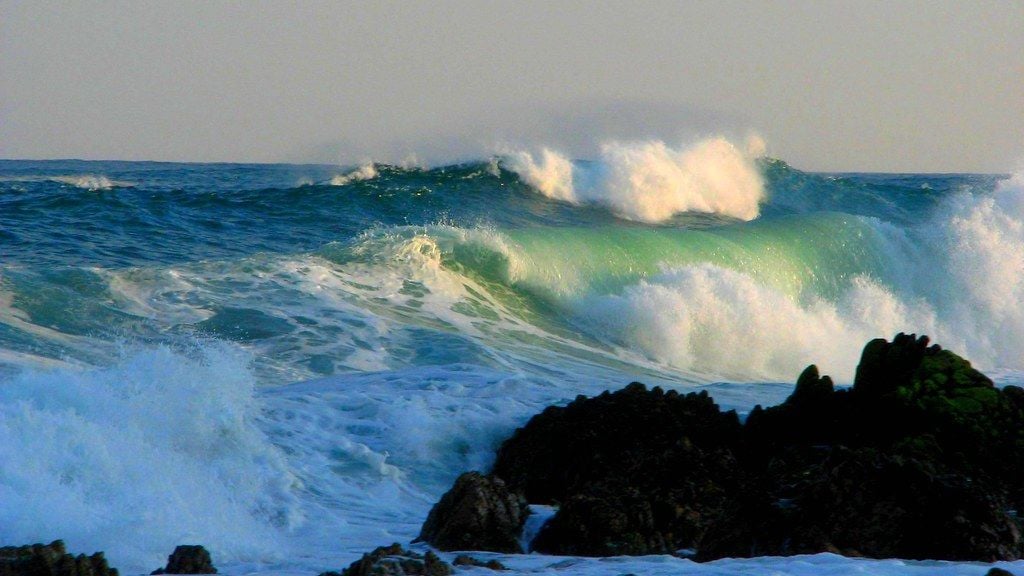
Picture this: you’re watching the weather forecast, and meteorologists are scrambling to explain why a Category 5 hurricane just intensified in hours rather than days. Maybe it even breached the traditional Saffir-Simpson scale entirely. Honestly, it sounds like a disaster movie plot, but recent scientific research suggests this nightmare scenario might not be science fiction much longer.
The Earth’s oceans were hotter in 2025 than in any year since modern measurements began, with the upper 2,000 meters absorbing a record-setting 23 zettajoules more energy than in 2024. Let’s be real, these aren’t just statistics on a chart. These are warning signs that the fuel tank feeding tropical storms is getting dangerously bigger, and the implications for coastal communities worldwide are staggering. So let’s dive in and explore what rising ocean temperatures really mean for hurricane intensity.
The Ocean Engine Running on Overdrive
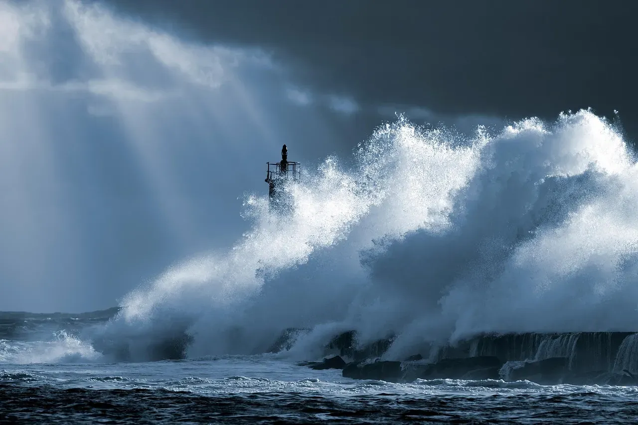
Think of hurricanes as massive heat engines that run on one primary fuel: warm ocean water. Hurricanes need warm water of at least 80 degrees Fahrenheit to form, but here’s the thing that keeps scientists up at night: the warmer that water gets, the more explosive the potential becomes.
Warm water is like fuel for tropical storms and hurricanes – the hotter the water, the more powerful the fuel. It’s not just surface temperatures that matter either. Ocean regions that fuel the planet’s most powerful hurricanes and typhoons are heating up in the North Atlantic and Western Pacific, driven not just by warmer surface waters, but by heat that now extends far below the ocean surface.
The mechanics are surprisingly straightforward but terrifying in their efficiency. When storms pass over exceptionally warm waters, they suck up moisture and heat like a massive atmospheric vacuum cleaner. Evaporation intensifies as temperatures rise, and as the storms travel across warm oceans, they pull in more water vapor and heat, adding more energy to the storm. More energy equals stronger winds, heavier rainfall, and all the devastation that follows.
What really amplifies this danger is something called ocean heat content. Hurricanes are not only fueled by the heat at the surface of the ocean but also by the heat that is stored at depth, below the surface. Deep warm layers act like reserve fuel tanks, preventing storms from weakening even as they churn up cooler surface water.
Category Six Storms Are Already Here

Here’s where things get genuinely alarming. Some scientists now argue we need a Category 6 classification because storms are already exceeding what we thought was the upper limit. I know it sounds crazy, but the data backs this up.
Storms exceeding 160 knots are appearing more frequently – between 1982 and 2011, eight such storms were recorded, but from 2013 to 2023, that number rose to 10. In total, 18 Category ‘6’ storms have occurred over the past four decades, with more than half forming in just the most recent decade.
Human-caused climate change may account for as much as 70% of the expansion of storm-forming hot spots. That’s not some vague correlation. Researchers found that both natural temperature cycles and long-term warming contribute to the expansion of deep warm-water regions, but their analysis suggests human-caused climate change is responsible for roughly 60-70% of the growth of these hot spots.
The storms themselves tell an incredible story. Hurricane Patricia, which developed in the Pacific Ocean off Mexico’s coast, holds the record as the strongest tropical cyclone ever observed, with winds reaching up to 185 knots – powerful enough to qualify as a Category 7 storm, if such a category existed. These aren’t theoretical possibilities anymore. They’ve already happened.
Rapid Intensification Is the New Nightmare
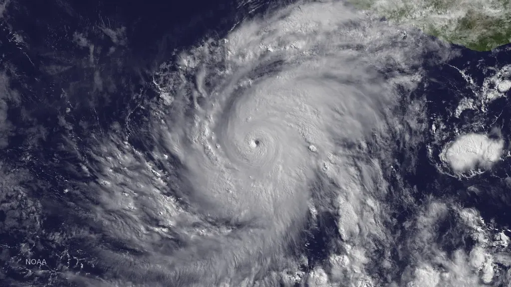
One of the most dangerous trends emerging from warmer oceans is something meteorologists call rapid intensification. A rapid intensification period is defined by the National Hurricane Center as an increase in the maximum sustained wind speed of at least 30 knots in 24 hours.
This phenomenon is becoming disturbingly common. The number of North Atlantic storms that have undergone rapid intensification in the last two decades is double that of just 50 years ago, and these storms are intensifying about 28% faster. When hurricanes can jump from Category 1 to Category 4 overnight, evacuation warnings become nearly meaningless.
Hurricanes are becoming stronger faster, a phenomenon known as rapid intensification, and scientists have found that climate change is leading to more favorable conditions for hurricanes to strengthen more quickly, such as warmer waters. The practical consequences are deadly. When storms rapidly strengthen close to landfall, it means less time to prepare and evacuate, which can lead to catastrophic consequences, endangering lives and threatening more economic damage.
Recent storms have shattered intensification records. Hurricane Milton’s wind speed accelerated faster than all but two previously recorded storms, with more than a 90mph increase in speeds in just 24 hours, ranking it as one of the strongest Atlantic storms ever recorded. That kind of explosive development catches communities completely off guard.
The Climate Fingerprint Is Undeniable

Attribution science has gotten incredibly sophisticated, allowing researchers to pinpoint exactly how much climate change has influenced specific storms. The results are sobering.
Climate change increased the intensity for most Atlantic hurricanes between 2019 and 2023, and thirty hurricanes out of 38 in a recent study reached intensities roughly one category higher on the Saffir-Simpson Hurricane Wind Scale compared to their expected strength without human-caused climate change. That’s not a marginal difference. The study identified three storms that strengthened into Category 5 hurricanes because of climate change: Lorenzo in 2019, Ian in 2022, and Lee in 2023.
During 2023 and 2024, global sea surface temperatures jumped to record-shattering levels – fueling stronger Atlantic hurricanes and causing widespread marine heat waves – and this surge in ocean temperatures would have been virtually impossible without human-caused climate change. Global sea surface temperatures have remained at near-record levels in 2025 following a record-shattering jump in 2023 and 2024.
The mechanism is well understood now. Most models show that climate change brings a slight increase in hurricane wind intensity, likely related to warming ocean temperatures and more moisture in the air, both of which fuel hurricanes. It’s hard to say for sure exactly what the future holds, but the trajectory is unmistakably upward.
What This Means for Our Future
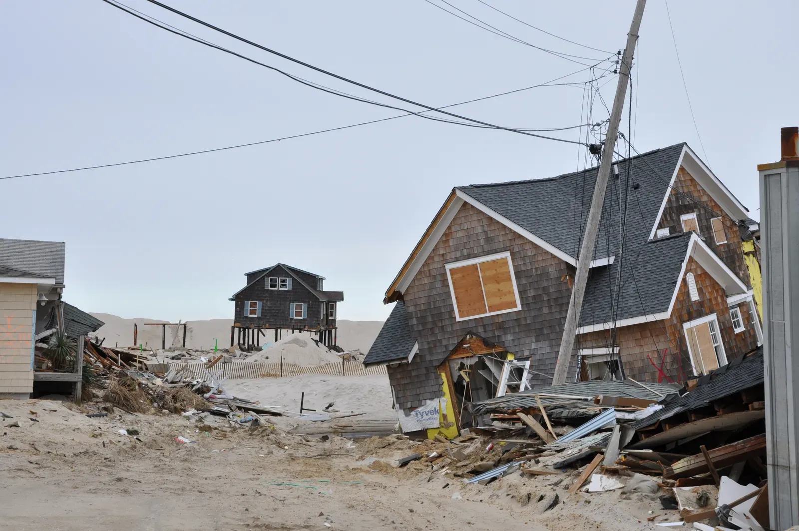
The big question everyone wants answered is: what happens next? While scientists remain cautious about predicting exact numbers, the trends paint a concerning picture.
The 2025 Atlantic season is expected to be above normal due to a confluence of factors, including continued ENSO-neutral conditions, warmer than average ocean temperatures, forecasts for weak wind shear, and the potential for higher activity from the West African Monsoon. The high activity era continues in the Atlantic Basin, featuring high-heat content in the ocean and reduced trade winds – the higher-heat content provides more energy to fuel storm development, while weaker winds allow the storms to develop without disruption.
Based on modeling, the National Oceanic and Atmospheric Administration predicts an increase in Category 4 and 5 hurricanes, alongside increased hurricane wind speeds. All these factors add up to more intense tropical storms in a world altered by climate change – meaning more category 3-5 storms and more big storms back-to-back – and since 1975 the number of category 4-5 cyclones has roughly doubled.
One of the most devastating changes involves rainfall. Warmer sea temperatures cause wetter hurricanes, with 10-15 percent more precipitation from storms projected. Slower-moving storms compound this problem. Hurricanes are traveling more slowly, making more damage possible, and slow-moving storms bring a higher risk of flooding as more rain is dumped over a particular area before a storm moves on.
Rising sea levels add another layer of danger to an already catastrophic equation. Storm surge is made worse by sea level rise, which is triggered by human-caused global warming as land ice melts and warmer ocean water expands – the average global sea level has already risen by well over half a foot since 1880, and higher sea levels can push more water inland during hurricane-related storm surges.
So yes, rising ocean temperatures absolutely can create super hurricanes. They already have. The question isn’t whether this will happen, but how prepared we are for a future where Category 5 might not represent the worst-case scenario anymore. Communities along vulnerable coastlines face an urgent choice: adapt to this new reality or face increasingly catastrophic consequences. What do you think our response should be? The clock is ticking, and the oceans keep warming.

- Could Rising Ocean Temperatures Create Super Hurricanes? - July 13, 2026
- These Majestic Birds Are Soaring to Unprecedented Heights Across the US - July 13, 2026
- 12 Amazing Things Only Dog Owners Truly Understand - July 13, 2026