Wind Chills Plunge to Dangerous Lows (Image Credits: Wtop.com)
Washington, D.C., area – Residents faced another day of subzero wind chills Sunday as Arctic air maintained its firm hold over the region.
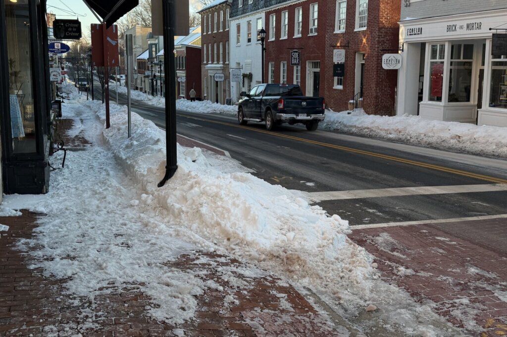
Wind Chills Plunge to Dangerous Lows
Early Sunday morning brought wind chills into the teens and below zero across the D.C. metro area, including parts of Maryland and Virginia. Mostly cloudy skies and gusty northwest winds kept daytime highs pinned between 22 and 26 degrees Fahrenheit. Cold weather alerts stayed active through the morning hours, underscoring the risks posed by the unrelenting chill.
Winds reached 5 to 15 mph with gusts up to 30 mph, exacerbating the frigid feel. Conditions eased slightly later in the day, but temperatures refused to climb above freezing. Overnight, clearer skies ushered in lows from 5 to 15 degrees, with wind chills hovering near zero.
Forecast Points to Gradual Relief
A modest rebound appeared on the horizon for Monday, when partly cloudy skies and light west winds pushed highs to 29 to 33 degrees. The real shift arrived Tuesday, featuring mostly sunny conditions and temperatures climbing into the 40- to 45-degree range.
Wednesday promised the week’s mildest weather, with highs nearing 50 degrees under mostly cloudy skies. Evening showers remained a possibility, accompanied by northwest winds around 10 mph. Such a progression marked a return toward seasonal norms after days of abnormal cold.
| Day | Conditions | Highs (°F) | Winds |
|---|---|---|---|
| Sunday | Mostly cloudy, breezy | 22-26 | NW 5-15 mph, gusts 25-30 |
| Monday | Partly cloudy | 29-33 | W 5 mph |
| Tuesday | Mostly sunny | 40-45 | S 5 mph |
| Wednesday | Mostly cloudy, possible showers | 45-50 | NW 10 mph |
Alerts Highlight Travel and Safety Concerns
The persistent deep freeze complicated daily routines and travel throughout the D.C. region. Gusty conditions Sunday raised hazards for drivers, while prolonged subfreezing temperatures strained outdoor activities. Officials urged caution amid the alerts, which emphasized protection against hypothermia and frostbite.
Melting from prior precipitation continued slowly under the cold dome, potentially leaving slick spots on untreated surfaces. Lighter winds overnight offered minor respite, yet the overall cold snap demanded vigilance into the workweek.
Meteorologist Foresees Quick Turnaround
7News First Alert Meteorologist Jordan Evans highlighted the incoming warmup. He noted that Tuesday would deliver mostly sunny skies and highs in the mid-40s, allowing conditions to edge closer to normal as melting accelerated.
Evans pointed to Wednesday as potentially the mildest day, with upper 40s nearing 50 degrees despite increasing clouds and a shower chance. His assessment aligned with broader model consensus for the shift.
Key Takeaways:
- Wind chills below zero persisted Sunday, with alerts through morning.
- Temperatures rebound Monday to near freezing, then surge to mid-40s Tuesday.
- Possible evening showers Wednesday cap a week of volatile weather.
The D.C. area’s brush with Arctic severity served as a stark reminder of winter’s lingering bite, even as milder air loomed. Residents can look forward to thawing relief, but the rapid pivot warrants watching for refreezing overnight. What are your plans to stay warm this week? Share in the comments.
- Urban Coyotes Show Remarkable Adaptability, Learning to Thrive in City Environments - July 22, 2026
- Beavers Are Nature’s Engineers, Creating Vital Habitats for Other Wildlife Species - July 21, 2026
- The Recovery of the California Condor Offers Hope for Other Critically Endangered Birds - July 21, 2026