Tonight’s Cooling Trend and Elevated Risks (Image Credits: Unsplash)
Washington, D.C. – The nation’s capital enters a workweek marked by rising temperatures and persistent shower threats. Forecasters anticipate highs pushing into the 80s alongside scattered rain, urging residents to keep rain gear handy.[1][2] Gusty winds add to the mix, particularly this evening, where conditions remain suitable for outdoor activities despite an unusual fire weather concern.
Tonight’s Cooling Trend and Elevated Risks
Skies turn mostly cloudy after sunset, with temperatures falling into the 50s. Winds from the south-southwest blow at 5 to 10 mph, gusting up to 20 mph, creating comfortable settings for evening outings.[1] However, low relative humidity dips below 30 percent, heightening fire weather risks in the region.
Officials advise caution with open flames, cigarettes, and flammable materials. This dry pocket precedes the week’s wetter pattern, serving as a reminder of variable spring conditions. Disposal of debris properly helps mitigate potential hazards.
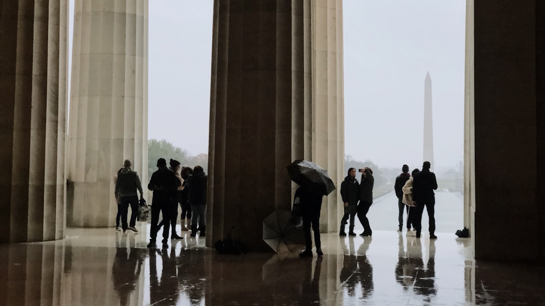
Monday’s Showery Start to the Week
Scattered light showers target the morning commute, with spotty precipitation lingering into the afternoon and evening. Partly sunny skies allow highs to reach the mid to upper 60s. Southwest winds strengthen to 10-15 mph, with gusts near 25 mph.[1]
Travelers should plan for slick roads and reduced visibility in heavier bursts. Umbrellas prove essential, though breaks in the clouds offer glimpses of sun. The pattern sets a preview for ongoing moisture through the days ahead.
Midweek Surge Toward Summer-Like Heat
Tuesday brings partly cloudy conditions and a notable warm-up, with afternoon highs in the low 80s. Lighter southwest winds at 5-10 mph gust to 20 mph keep air moving. Wednesday maintains the heat in the low to mid 80s, though an afternoon shower chance emerges.[1]
Such temperatures mark a departure from recent cooler spells, tempting outdoor lunches and events. Winds hold steady at 8-12 mph with gusts to 20 mph. Hydration and sun protection become priorities amid the unseasonal warmth.
| Day | High Temp | Rain Chance | Wind Gusts |
|---|---|---|---|
| Monday | Mid-Upper 60s | Scattered Showers | 25 mph |
| Tuesday | Low 80s | Low | 20 mph |
| Wednesday | Low-Mid 80s | Afternoon Chance | 20 mph |
Shifts at Week’s End
A cold front approaches Wednesday night, introducing additional showers by Thursday and Friday. The system disrupts the heat, bringing more consistent rain opportunities. Residents should monitor updates as details refine.[1]
Key preparations include checking local alerts and securing outdoor items against gusts. The blend of warmth and wet weather underscores spring’s unpredictability in the DMV area. For the latest, visit NBC Washington.
- Shower risks peak during commutes early and late week.
- Temperatures climb rapidly to 80s by midweek.
- Gusty winds persist, amplifying fire concerns tonight.
- Umbrellas and light layers suit the variable conditions.
- Cold front signals potential cooldown after Wednesday.
Key Takeaways:
- Expect scattered showers Monday and end of week.
- Highs hit 80s Tuesday and Wednesday.
- Fire weather watch tonight due to low humidity.
As the workweek promises a taste of summer interrupted by showers, flexibility defines the best approach. Plan indoor alternatives and stay weather-aware. What are your plans amid this mix? Share in the comments.
- Urban Coyotes Show Remarkable Adaptability, Learning to Thrive in City Environments - July 22, 2026
- Beavers Are Nature’s Engineers, Creating Vital Habitats for Other Wildlife Species - July 21, 2026
- The Recovery of the California Condor Offers Hope for Other Critically Endangered Birds - July 21, 2026