

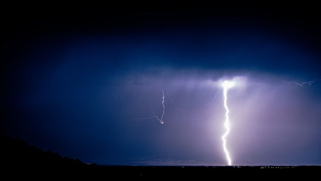
Gusty storms could hit DC region during afternoon commute – Image for illustrative purposes only (Image credits: Unsplash)
Washington, D.C. – Commuters across the capital region face a heightened risk of travel delays this Wednesday as severe thunderstorms move in during the afternoon and evening hours. The storms arrive at the tail end of an early-season heat wave that has pushed temperatures into the 90s, setting the stage for strong winds, heavy downpours and possible hail. Forecasters warn that the change will arrive quickly once a cold front sweeps through from the west.
Watch in Effect Across Multiple States
The National Weather Service has issued a severe thunderstorm watch for the entire D.C. area and surrounding portions of Maryland, Virginia, Pennsylvania and West Virginia. The alert remains active until 8 p.m. and covers the possibility of damaging wind gusts and large hail. Meteorologists note that the front will act as a trigger for widespread showers and thunderstorms once it arrives. Residents are advised to monitor radar closely starting around 4 p.m. Lightning, wind gusts reaching 70 mph and isolated hail the size of quarters remain the primary concerns. The storms are expected to move through the region before sunset, though lingering showers could continue into the overnight hours.
Heat Gives Way to Sharp Temperature Drop
Reagan National Airport stands a chance of approaching its record high of 96 degrees before the front arrives, while Dulles International Airport could challenge its own mark of 93. Once the storms pass, temperatures are forecast to fall dramatically. Overnight lows will settle into the 50s and 60s, a drop of more than 25 degrees from daytime peaks. Thursday and Friday will bring cool and damp conditions under continued northeast flow. Highs are expected to range from the low to mid-60s, with scattered showers persisting through much of the period. The sudden shift ends three straight days of unseasonable warmth and replaces them with more typical late-spring weather.
Memorial Day Weekend Outlook
The holiday weekend begins under mostly cloudy skies with occasional showers and areas of drizzle on Saturday. Sunday offers a few breaks of sun but still carries a chance for lingering showers, keeping highs in the upper 60s to mid-70s. Light winds will accompany the unsettled pattern. – Saturday: Mostly cloudy with showers, highs in the 60s
– Sunday: Scattered showers, highs 68-75
– Memorial Day: Mostly cloudy with stray showers, highs 70-75 Forecasters emphasize that the period will not deliver the classic hot and sunny conditions many associate with the holiday. Instead, residents can expect a mix of clouds and periodic rain that may limit outdoor plans along the mid-Atlantic coast.
Practical Steps for Residents
Drivers should allow extra time for the commute and remain alert for sudden changes in visibility and road conditions. Homeowners are encouraged to secure loose outdoor items ahead of the strongest winds. The cool air mass that follows will provide relief from the recent heat but may require adjustments to spring wardrobes and garden routines. The pattern leaves the region with a noticeably different feel heading into the long weekend. While the storms themselves should clear by nightfall, the cooler and damper air mass sets a quieter tone for the days ahead.

As a little kid, I fell in love with nature, wildlife, and animals. Living in the USA, South Africa, Italy, China and Germany gave me the opportunity to discover the world's Wildlife. My favorite animals are Mountain Gorillas, Siberian Tigers, and Great White Sharks.
I'm a certified PADI Open Water Diver, went to Everest Base Camp and Trekked Gorillas in Uganda. I hold a Master of Science in Economics and Finance.
Please send any feedback to feedback@animalsaroundtheglobe.com
- 10 Things Fish Use Their Fins For And 3 They Can Not Do - July 31, 2026
- 10 Animals That Survived Mass Extinction Events - July 31, 2026
- 10 Facts About the New Guinea Singing Dog - July 31, 2026