Historic Sleet Turned Streets into Slippery Hazards (Image Credits: Unsplash)
Washington, D.C. area – Residents faced a harsh combination of lingering ice and subzero wind chills Tuesday as cleanup efforts continued in the wake of a powerful winter storm that struck over the weekend.[1][2]
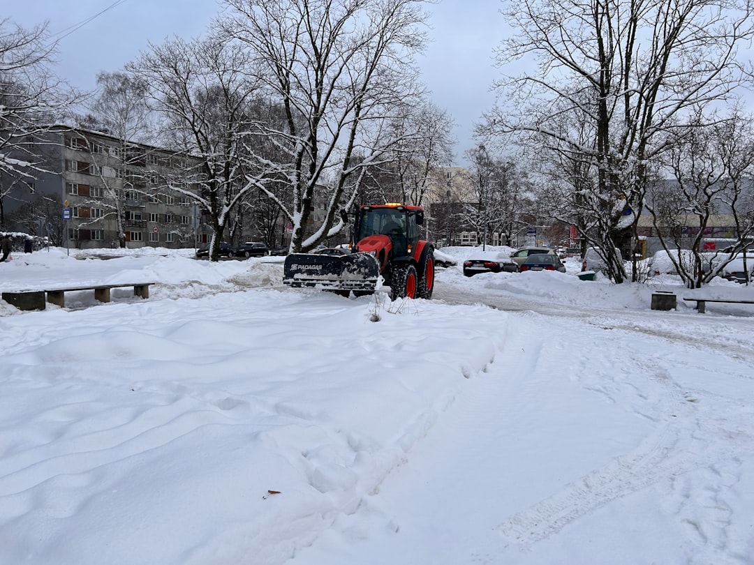
Historic Sleet Turned Streets into Slippery Hazards
The storm dumped a mix of snow and heavy sleet across the DMV, producing nearly 7 inches of total accumulation in many spots despite temperatures in the teens.[2] Washington recorded 6.9 inches of snow, while Baltimore/Washington International Airport measured 11.3 inches.[3] This rare event featured historic sleet volumes at unusually low temperatures, creating a cement-like layer far more stubborn than typical snow.
Hundreds of snowplows deployed Monday to tackle main arteries and secondary roads, yet many surfaces remained treacherous with packed ice.[1] The moisture content shattered daily records for such frigid conditions, amplifying the disruption.
Closures and Cancellations Ripple Through the Week
Federal offices stayed shuttered Tuesday, joining widespread school closures in D.C., Maryland, and Virginia districts including Fairfax County, Prince George’s County, and Montgomery County.[1][2] Metro adjusted operations, suspending bus service overnight and running rail on a reduced weekend schedule at dawn.
Airports bore the brunt earlier, with hundreds of flights scrapped Sunday and Monday at Reagan National, Dulles, and BWI Marshall.[2] Courts in areas like Fairfax paused trials, underscoring the broad paralysis.
- D.C. Public Schools: Closed Tuesday
- Prince George’s County: Closed through Thursday
- Fairfax, Arlington, Loudoun counties: Closed Tuesday
- Federal government: Nonscheduled leave Tuesday
Deep Freeze Locks In for Days
Tuesday highs struggled to reach the lower to mid-20s under sunny skies that offered limited melt before overnight refreezing.[1] Wind chills dipped to 5 to 10 degrees below zero early, prompting a National Weather Service advisory until 11 a.m.
The pattern persisted: Wednesday and Thursday highs hovered between 19 and 24 degrees, with northwest gusts pushing chills into single digits or lower. Overnight lows plummeted to 5-10 degrees in the city and below zero farther out, as reinforcing Arctic air arrived Thursday.
Meteorologists Stress Respect for the Elements
7 News First Alert Chief Meteorologist Veronica Johnson described the wind chills as among the lowest in recent memory. “This really is the kind of cold you have to respect,” she warned.[1]
Officials advised layering clothing, wearing gloves and boots, and clearing walkways promptly to avoid fines or hazards. Shoveling required caution to prevent injuries, with plowing prioritized on bridges and hills.
Key Takeaways
- Expect refreezing nights and black ice on untreated roads through midweek.
- Cold advisory highlights risks of hypothermia; limit outdoor time.
- Monitor local plow trackers and transit updates for safe travel.
As the region pushes through this multi-day chill, the storm serves as a stark reminder of winter’s unpredictability in the capital. Preparation proved essential, but recovery demands patience amid the freeze. What challenges have you faced in the cleanup? Share in the comments.
- Urban Coyotes Show Remarkable Adaptability, Learning to Thrive in City Environments - July 22, 2026
- Beavers Are Nature’s Engineers, Creating Vital Habitats for Other Wildlife Species - July 21, 2026
- The Recovery of the California Condor Offers Hope for Other Critically Endangered Birds - July 21, 2026