In the year 1812, a series of violent earthquakes shook the central United States, leaving an indelible mark on the landscape and rewriting the course of American history. These natural upheavals, collectively known as the New Madrid earthquakes, were among the most powerful in U.S. history. The most extraordinary consequence of these tremors was the temporary reversal of the mighty Mississippi River’s flow, a phenomenon that continues to intrigue scientists and historians alike. This article delves into the causes, effects, and legacy of this seismic event that reshaped one of America’s great rivers.
Understanding the New Madrid Seismic Zone

The New Madrid Seismic Zone, located in the central United States, is a major source of seismic activity. It stretches across parts of Missouri, Arkansas, Tennessee, Kentucky, and Illinois. Unlike the more commonly known San Andreas Fault in California, the New Madrid Seismic Zone lies in the interior of a continental plate. This positioning leads to complex geological structures beneath the surface, making it a hotbed for seismic events.
The Early 19th Century: A Prelude to Catastrophe

By the early 1800s, settlers were establishing communities along the Mississippi River, unaware that this serene region lay atop a ticking geological time bomb. The serene landscape belied the powerful forces beneath, waiting to be unleashed. As more settlers arrived, they were about to discover the immense power nature held beneath their feet.
The Quake That Shook the Nation
In the predawn hours of December 16, 1811, the first in a series of massive earthquakes struck the New Madrid Seismic Zone. With an estimated magnitude of 7.5 to 7.9, it was only the beginning of a seismic swarm that would extend into the following year. The most significant of these events occurred on February 7, 1812, thought to be the strongest, with the shaking felt as far away as Boston and New York.
Magnitude and Impact: Measuring the Earthquake’s Force
The series of quakes in 1811 and 1812 are estimated to have been between 7.0 and 8.0 in magnitude. They caused landslides, fissures, and massive ground movements across the Mississippi Basin. Entire sections of land were lifted and dropped, dramatically altering the region’s topography. Traditional seismographic equipment wasn’t available at the time, but modern studies estimate these quakes as some of the strongest to ever hit the continental United States.
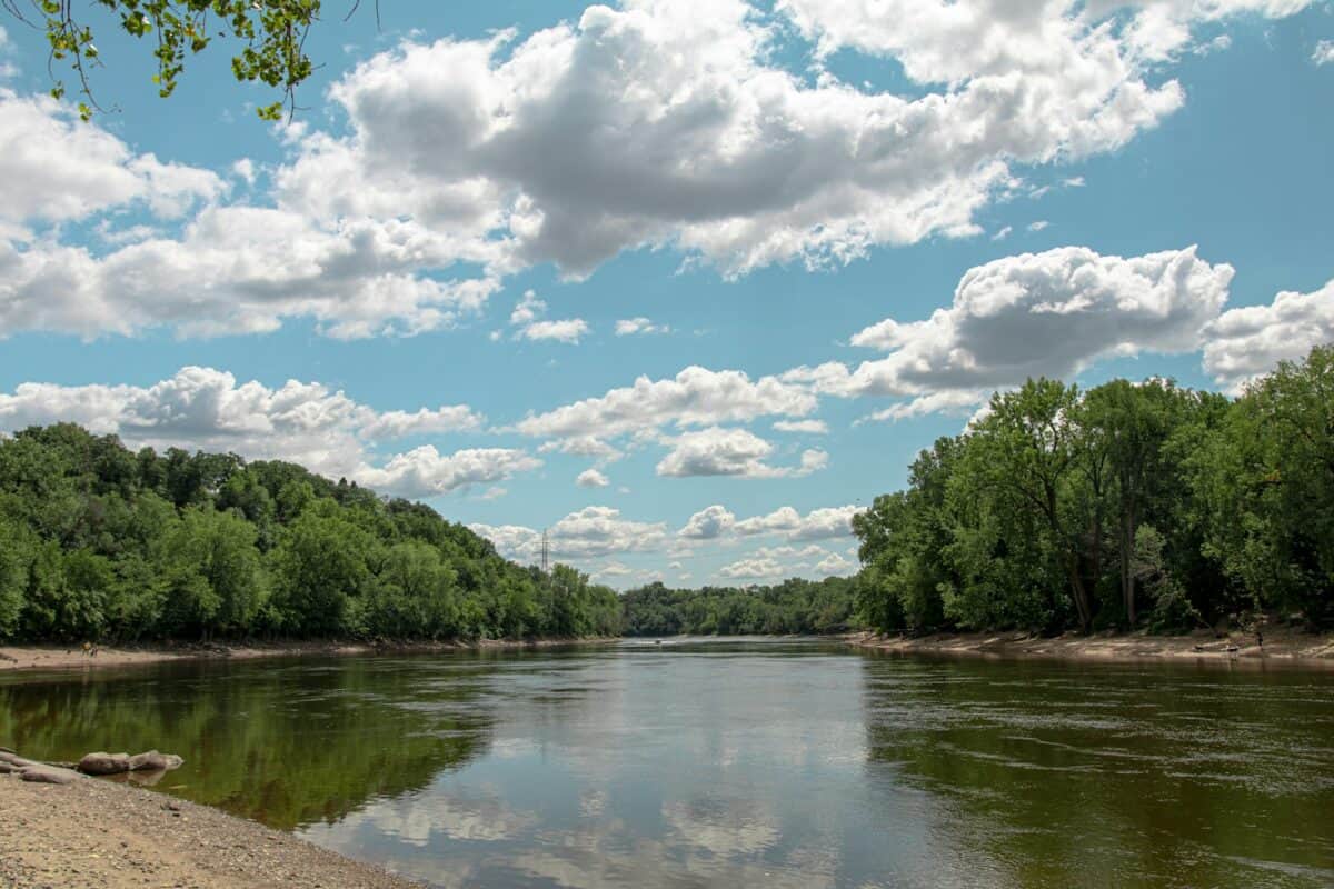
How the Mississippi River Reversed Course

During the February 7 quake, an unusual phenomenon occurred: the Mississippi River temporarily flowed backward. This reversal was caused by an upward thrust of land beneath the river, creating a surge that pushed the water upstream. Eyewitness accounts from the time describe a powerful current flowing in the opposite direction, wreaking havoc on boats and sweeping away large chunks of riverbank.
Eyewitness Accounts: The Human Experience

Settlers and indigenous peoples alike were awestruck and terrified by the earthquakes and the river’s reversal. Accounts from the time describe scenes of chaos, with people fleeing collapsing buildings and watching as the earth literally opened beneath them. Many saw the river rise in great waves, overtopping banks and ferrying debris and boats backward, a visceral and unforgettable display of nature’s power.
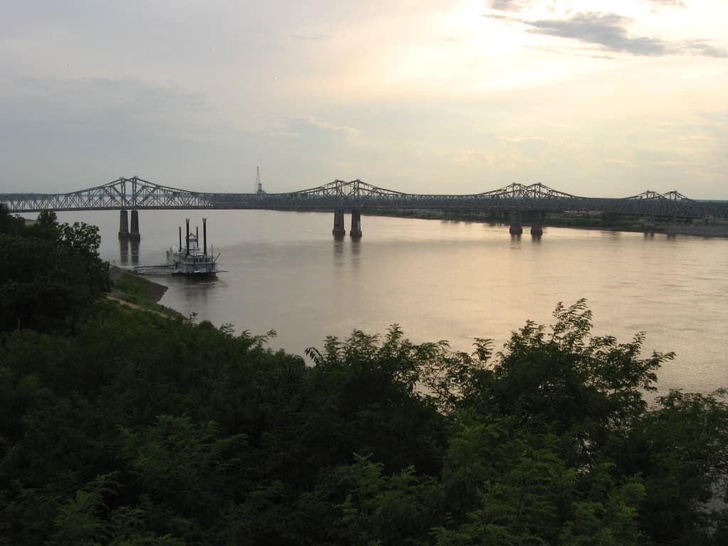
Changes in the River’s Course
The aftermath of the earthquakes saw permanent changes to the course of the Mississippi River. New lakes were formed, the river channel shifted, and rafting conditions became treacherous. The best-known geographical change was the creation of Reelfoot Lake in what is now northwest Tennessee, where water pooled into new depressions formed by the earthquakes.
Environmental Impact and Ecosystem Changes

The seismic events and river realignment drastically affected the local ecosystem. New habitats emerged, supporting diverse flora and fauna. The formation of wetlands such as those found around the new Reelfoot Lake provided rich environments for numerous species, reshaping both the ecological landscape and heralding new biological opportunities.
Planning and Preparedness: A Lesson in History
If there is a silver lining to historical seismic events, it’s the lessons learned in preparedness and urban planning. The events of 1811-1812 encouraged modern-day scientists and policy-makers to emphasize earthquake preparedness, building codes, and infrastructure improvements in seismic zones across the central United States.
Geological Studies and Continued Research
The New Madrid earthquakes have become a focal point for geological study. By analyzing geological evidence and utilizing modern technology, scientists aim to predict future seismic activity more accurately. Understanding the patterns and precursors to such massive earthquakes is crucial in mitigating potential risks in the region.
The Legacy of the 1812 Earthquake in Contemporary Culture

The story of the Mississippi reversing its flow has infiltrated the cultural fabric of the United States. Legends and tales are passed down through generations, each narrating the awe-inspiring power of the natural world and the resilience of those who witnessed it firsthand. It is a reminder of nature’s unpredictability and the enduring strength of communities.
Concluding Thoughts: Nature’s Indomitable Force
The 1812 earthquake and its impact on the Mississippi River remain a powerful testament to nature’s ability to reshape our environment in the blink of an eye. As scientists continue to study these events, the lessons learned emphasize our ongoing need to respect and understand the forces that shape our planet. Through improved science and preparedness, we aim to ensure the safety and resilience of communities facing similar threats in the future.
- How Do Birds Recognize Their Own Species? - July 31, 2026
- Could Birdsong Be a Barometer for Climate Change? - July 31, 2026
- How Red Pandas Use Their Bushy Tails Like Blankets (Cute!) - July 31, 2026