

The Gulf Coast has never sat still. It’s a living, shifting edge where land and water have negotiated their boundaries for millennia, shaped by tides, sediment, and storms. What’s changed in recent decades is the pace and scale of that negotiation. Hurricanes are arriving with more force, and the land is increasingly struggling to recover before the next one arrives.
The consequences are physical and visible. Beaches that took decades to form have vanished in hours. Barrier islands are migrating landward. Wetlands that once cushioned storm surge are shrinking year by year. Understanding exactly how this is happening, and what it means for the millions of people who live along this coastline, requires a closer look at the forces at work.
How Hurricanes Actually Move the Land
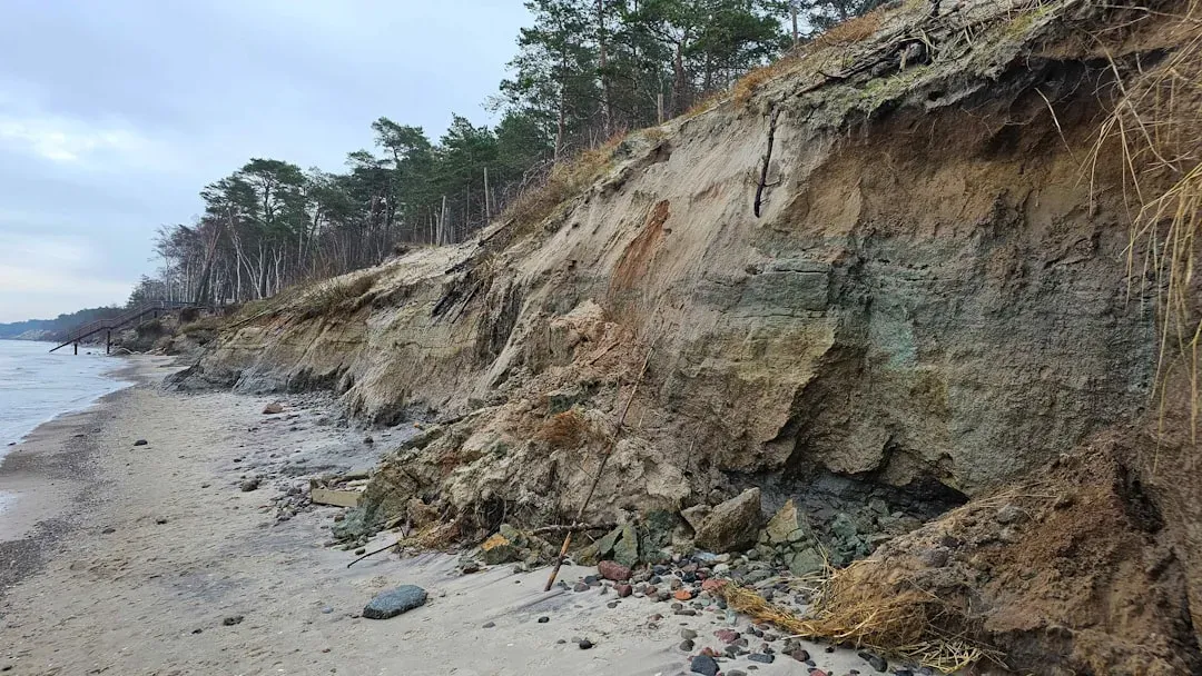
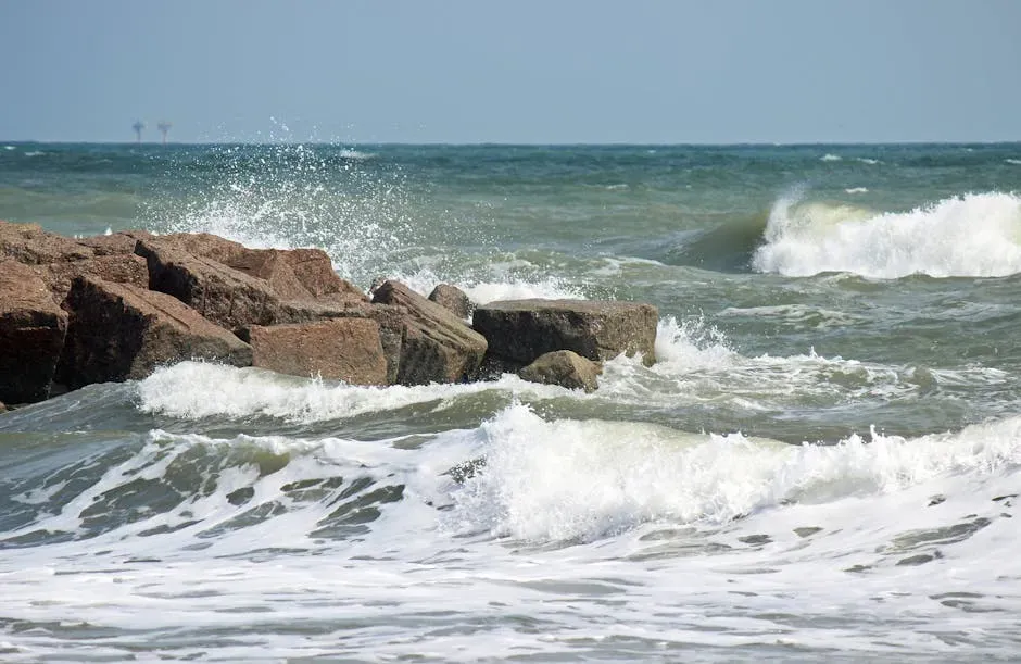
Hurricanes and other extreme storms generate storm surge and large waves, eroding the beach and dune system and reshaping the coastal landscape. The mechanics are straightforward enough, but the scale can be staggering. Within hours, shorelines that took years to build up can be stripped bare.
High waves and storm surge act together to erode beaches and inundate low-lying lands, putting inland communities at risk. The combination creates a compounding effect. Surge pushes water far inland, while waves simultaneously tear sediment from the shore and carry it offshore or redistribute it in ways that permanently alter the coast’s profile.
Six types of coastal change observed along the coastlines of the United States are: beach erosion, dune erosion, overwash, inundation and island breaching, marsh erosion, and coastal cliff erosion. Not every storm triggers all six, but the strongest hurricanes often set several in motion at once, leaving behind a fundamentally different landscape.
Barrier Islands: The Coast’s First Line of Defense
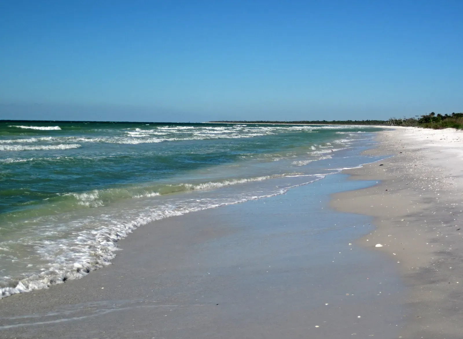
All along the Gulf Coast, barrier islands form the Gulf’s shoreline. They are long and skinny stretches of land, often no more than 10 miles long and a half-mile wide. These strips of sand are the first line of protection from Gulf hurricanes for the highly populated cities often located just to their north or east.
When hurricanes and storms make landfall, these strands absorb much of their force, reducing wave energy and protecting inland areas. They also provide a sheltered environment that enables estuaries and marshes to form behind them. These zones serve many valuable ecological functions, such as reducing coastal erosion, purifying water and providing habitat for fish and birds.
Barrier islands are exposed to a range of natural and human-caused changes, including hurricanes, sea-level rise, and dredging. These changes have the potential to influence the ability of barrier islands to serve as a first-line of defense for the mainland during storm events. Once they weaken, the protection they offer to coastal cities diminishes with them.
What Hurricane Katrina Did to the Gulf’s Islands
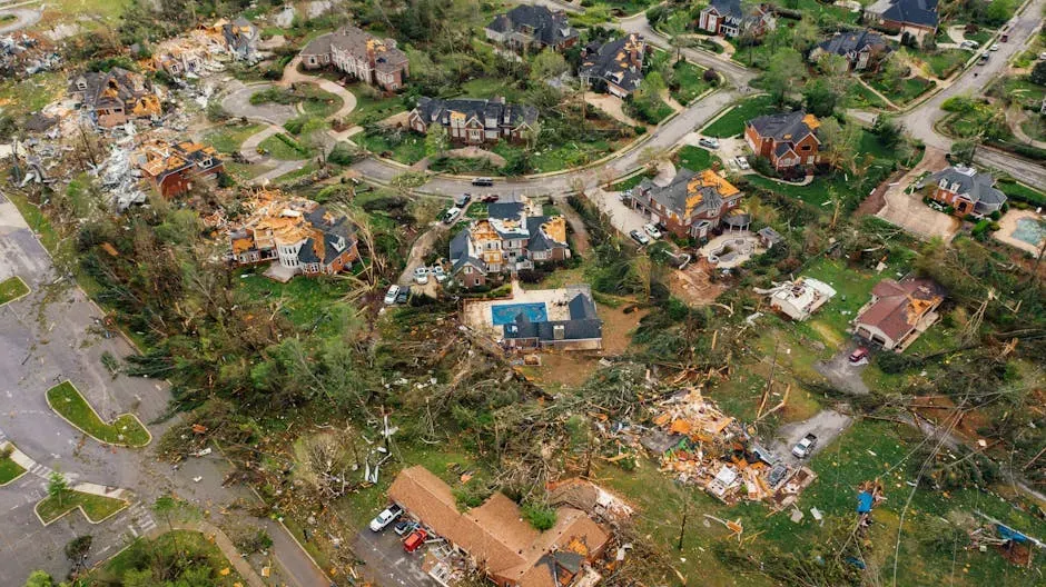
Hurricane Katrina caused extreme changes to the barrier islands of the central Gulf of Mexico coast. Dauphin Island, Alabama, migrated landward and stranded the remains of its oceanfront row homes in the sea. Chandeleur Islands, Louisiana, were completely stripped of their sand, leaving only marshy outcrops in the storm’s wake.
The images from Katrina’s aftermath told a story that no single statistic could fully capture. Islands that had existed for centuries simply ceased to exist in their prior form, replaced by open water and scattered marsh remnants. Storm surge from Hurricanes Katrina and Rita destroyed hundreds of square miles of coastal wetlands in a matter of days. The damage they wrought from flooding and storm surge was made worse by the previous loss of miles of protective wetlands.
The Double Hurricane Effect: Helene and Milton in 2024
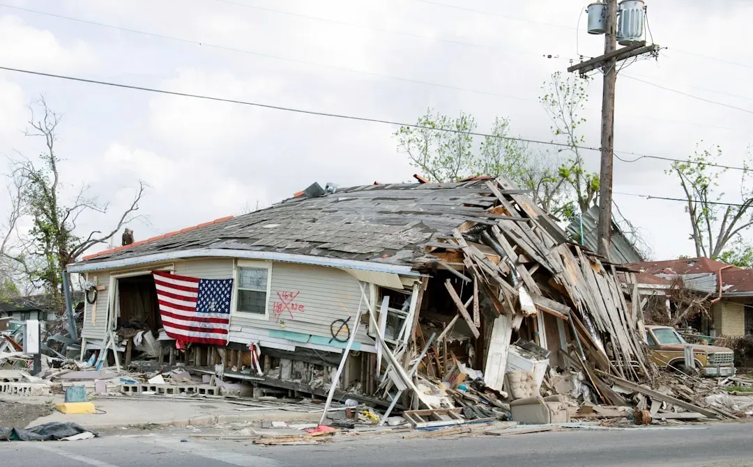
Hurricane Helene reshaped the Gulf Coast. Because of its erosion of the dunes, Milton had no resistance. This is one of the starkest illustrations of how compounding storms can amplify damage beyond what any single event would cause.
Hurricane season may have ended on November 30, but the damage caused by storms like Beryl, Francine, Helene, and Milton still persists along the coastlines. These powerful storms don’t just batter homes, they erode beaches and dunes, the natural barriers that protect coastal communities from catastrophic flooding.
Helene was the most destructive for the beach towns, even though it made landfall far to the north. Twelve people died in Pinellas County because of strong storm surge that reached 8 feet high in some places. The reach of a hurricane’s damage routinely exceeds its landfall point, a fact that continues to surprise communities caught off guard.
When Dunes Disappear, Communities Lose Their Shield
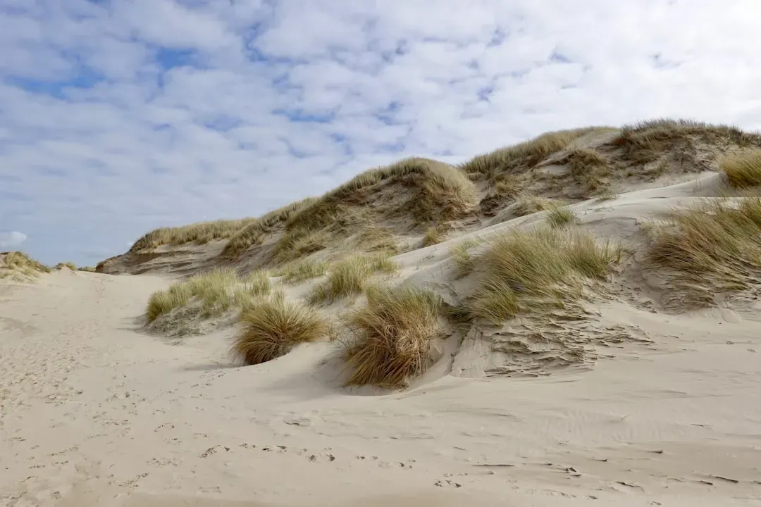
Dunes are not decorative features. They’re functional barriers, and their destruction in one storm directly increases risk in the next. Following back-to-back hurricanes, the dunes along the coastlines experienced significant damage, where their line of defense washed away.
Barrier islands shield the mainland coast from the effects of extreme storms such as increased wave energy and storm surge. During these events, however, barrier morphology can be altered by erosive forces, thus compromising the protection offered and leading to increased impact on the mainland.
Research into Hurricane Michael’s impact on the St. Joseph Peninsula in northwest Florida is particularly telling. Hurricane Michael caused dune height reduction of up to approximately 6 meters, over a million cubic meters of sediment eroded, and barrier breaching. One storm, and a landscape built over centuries was fundamentally reordered.
Louisiana: A Coastline Losing Ground
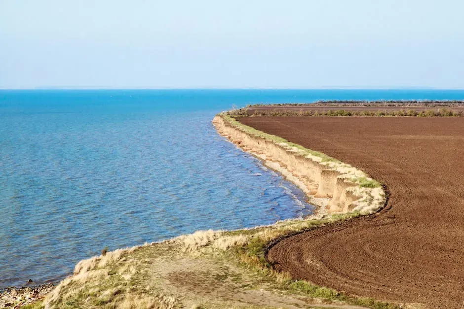
Southern Louisiana’s coast is a latticework of shrinking marshes, swamps, and barrier islands. No other coastline in the contiguous United States has changed as much in recent decades. By one estimate, Louisiana lost approximately 4,800 square kilometers of land from 1932 to 2016, an area that amounts to approximately 25 percent of the state’s 1932 extent.
The causes are layered and interconnected. Prior to the building of levees on the Mississippi River, the wetlands were kept in balance by occasional floods, which filled the area with sediment and subsidence. These man-made levees contribute to extensive downstream flooding. After the levees were built, flood sediment flowed directly into the Gulf of Mexico.
In 2021, Hurricane Ida was especially destructive to the marshlands and swamplands of Barataria Basin. Green vegetation in the wetlands around Little Lake turned to open water. Following Ida, more than 680 square kilometers of wetlands in Barataria Basin and Terrebonne Basin transformed into open water. A single storm erased what restoration projects had spent years trying to rebuild.
Accelerating Erosion Along Gulf Shorelines
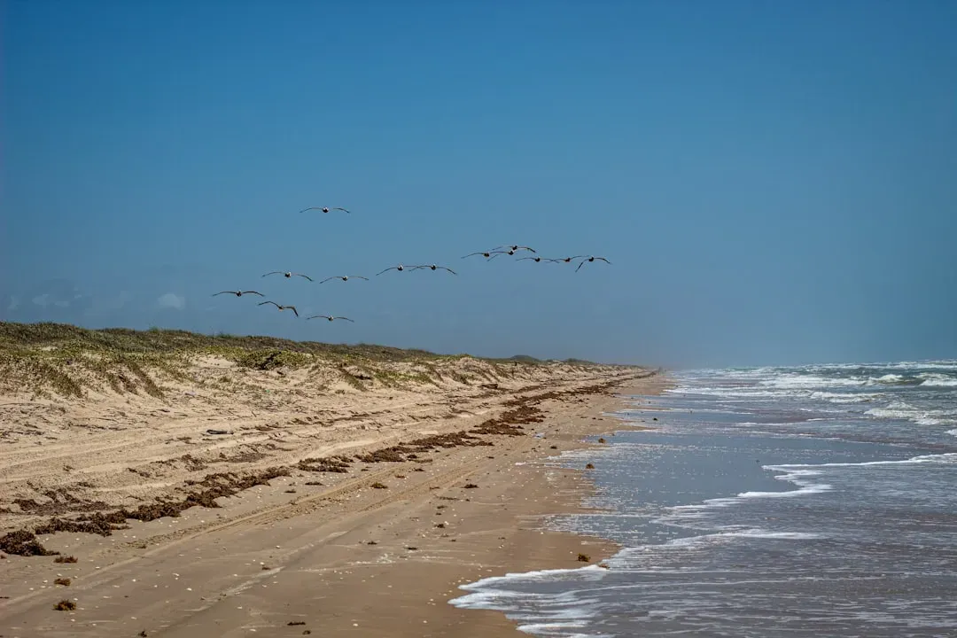
Most of the US Gulf Coast is composed of barrier islands, peninsulas, chenier plains, and mainland beaches that are the main line of defense for wetlands, estuaries, and urban and industrial centers from rising sea level and severe storms. These wave-dominated shorelines are currently experiencing widespread erosion.
Some Texas barriers, including Follets Island, Matagorda Peninsula, and South Padre Island, had rates of shoreline migration in the range of roughly half a meter per year during the late Holocene. During historical time, the rate of landward migration of these coastal barriers accelerated to between 1.3 and 2.5 meters per year. The trend is not just continuing, it’s speeding up.
Hurricane Harvey offered a vivid example of storm-driven retreat. Hurricane Harvey caused drastic local shoreline retreat, reaching 59 meters, and significant erosion levels of beach and dune elements immediately after its landfall. Recovery from that kind of event is measured in years, not weeks.
Armored Beaches vs. Natural Beaches: A Complicated Recovery
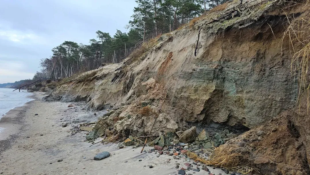
Not all beaches respond to storms the same way. Research comparing natural beaches to those fortified with seawalls and other hard structures has revealed an important distinction. When researchers looked at the impact of back-to-back hurricanes on beaches, their research found beaches with manmade fortifications struggled to recover sand and vegetation after storms compared to natural beaches.
The instinct to protect coastal property with hard infrastructure can actually undermine the beach’s natural resilience. Beach communities want their dunes to stay in place, so the response often is to build control structures, such as seawalls and jetties. This protects buildings and roads, but it also disrupts natural sand transportation. Blocking erosion up-current means that no sediments are transported down-current, leaving those areas starved of sediment and vulnerable to erosion.
The Enormous Cost of Beach Restoration
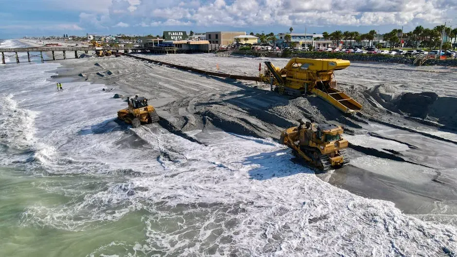
Restoring what storms remove is expensive work, and the costs keep climbing. After two major hurricanes in 2024, massive flooding and storm surge left Pinellas County beaches severely eroded. In some cases, the erosion was so severe the beaches barely existed at all. In response, the county began a $126 million renourishment project in September 2025.
Since the 1940s, Florida has spent over $1.3 billion on beach nourishment projects. This added sand will eventually wash away, quite possibly during the next hurricane to hit the coast, and have to be replaced. It’s a cycle with no clean exit.
The current Pinellas County project calls for using 2.5 million cubic yards of sand that’s being dredged and pumped from offshore. The beaches are being widened by as much as 100 feet. That scale of effort, repeated after each storm season, illustrates just how much sand hurricanes can actually move.
Wetlands as a Hurricane Buffer, and What Their Loss Means
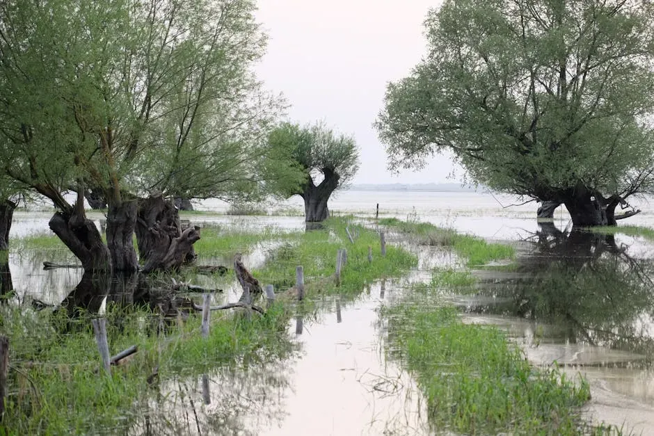
Wetlands do quiet but critical work. Wetlands protect against floods by soaking up and slowing flood waters. One acre of wetland can store roughly 1 million gallons of water. Wetland vegetation also slows the speed of floodwaters, and wetlands can actually lower flood heights and reduce the water’s destructive potential.
Another consequence of coastal erosion is the loss of sandbars off the coast of Louisiana. The sandbars off Louisiana’s coast protect it from storm surges and high-speed winds that accompany hurricanes from the Gulf of Mexico. In the past, these sandbars have helped minimize the damage to Louisiana’s coast from hurricanes. However, as coastal erosion continues to cause these sandbars to degrade, the damage taken by Louisiana’s coastline continues to increase.
Science Is Catching Up With the Storm’s Speed
The U.S. Geological Survey National Assessment of Hurricane-Induced Coastal Erosion Hazards compares measurements of beach morphology with storm-induced total water levels to produce forecasts of coastal change for storms impacting the Gulf of Mexico and Atlantic coastlines of the United States. Predictive tools are growing sharper with each hurricane season.
A new forecasting framework’s performance was evaluated for Hurricane Ian in 2022. It was able to forecast erosion for about 1,800 transects spanning hundreds of kilometers of coastline in less than two hours. About a day before Ian’s landfall, more than 80 percent of predicted dune impacts in southwest Florida were in agreement with existing forecasts.
That kind of real-time predictive capacity matters enormously. The faster emergency managers understand where erosion is most likely to occur, the faster they can direct resources and evacuations.
What This Means for Communities and the Future
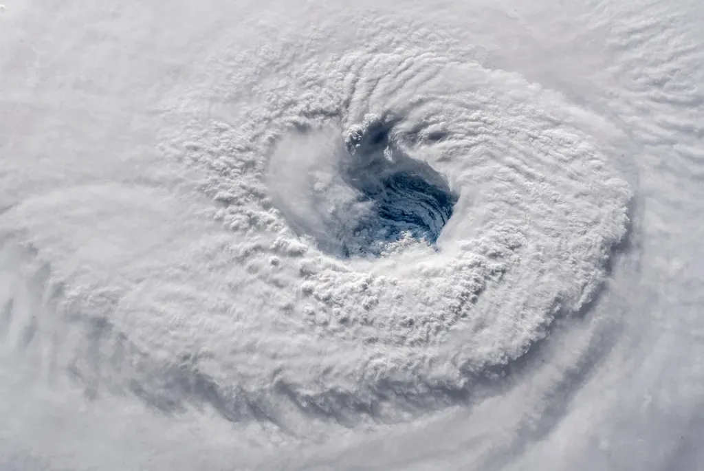
According to the National Climate Assessment, the intensity of hurricanes in the North Atlantic has increased since the 1980s. A coastline that was already under pressure from subsidence, sediment loss, and development is now absorbing stronger storms more frequently.
NOAA has tallied over 400 weather and climate disasters since 1980 that each resulted in costs of $1 billion or more, with a total cumulative cost of more than $2.9 trillion. Of all those billion-dollar-plus weather disasters, tropical cyclones and hurricanes caused the most damage, at over $1.5 trillion total. The Gulf Coast absorbs a disproportionate share of those losses.
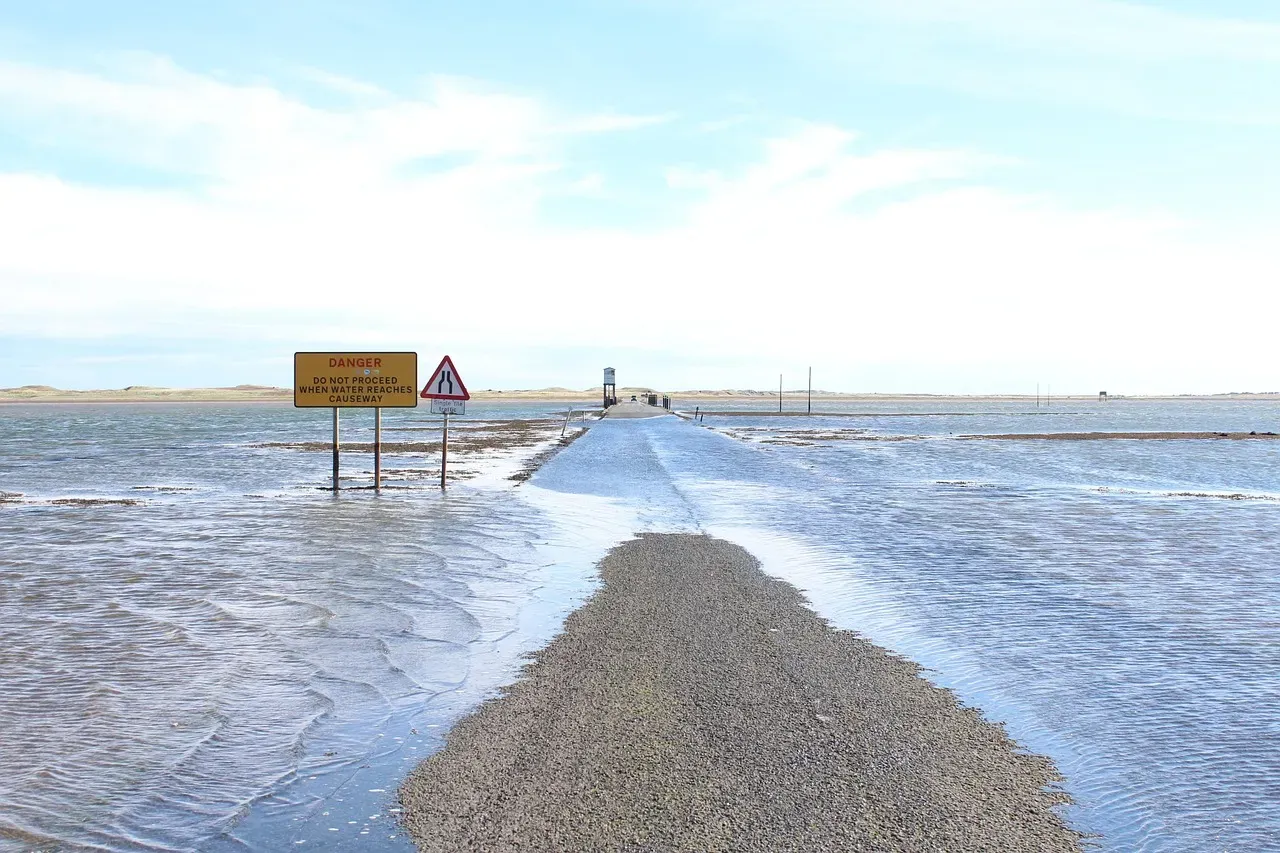
Because of the loss of Louisiana’s coastline, many Louisiana communities are being affected. Some communities are experiencing flooding on a much more regular basis. Flooding that was once considered a rare event is becoming a routine inconvenience, then a persistent threat, and eventually, in some places, a reason to leave.
Conclusion: A Coastline in Transition
The Gulf Coast has always been dynamic. Storms carved it, sediment rebuilt it, and the Gulf shaped everything in between. What’s different now is that the pace of loss is outrunning the pace of recovery, and the communities caught in between are absorbing costs, physical and financial, that grow with each season.
Restoration efforts like the massive sand nourishment projects underway in Florida are necessary, but they’re also a reminder of how reactive the approach often is. Barrier islands and their intact dunes are natural fortresses. Managed retreat from coastal areas is likely the most sensible option, but most people won’t abandon beachfront property until they have no choice. Protecting dunes is the next best option.
The Gulf Coast won’t stop changing. The real question is whether the decisions made now, about where to build, what to restore, and what to let go, will keep pace with the storms already forming offshore.

- 6 Exotic Bird Species You Can Spot in U.S. National Parks - July 19, 2026
- 11 Iconic American Birds Facing New Challenges and How You Can Help - July 19, 2026
- 10 Friendliest Animals in the World - July 19, 2026