
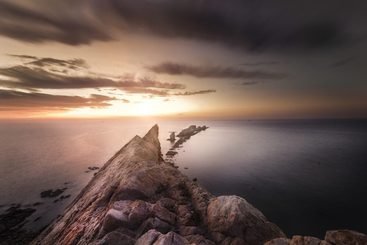
Picture a mountain chain that stretches from near the Arctic down toward the far South Atlantic, bending gently along the middle of the ocean like a seam on a baseball. Almost no one has stood on it, and hardly anyone has seen more than a sliver of it. Yet it’s there, running for thousands of miles beneath the waves.
This is the Mid-Atlantic Ridge, one part of a much larger global system. It’s a place where the planet is quietly rebuilding its own surface. The more you learn about it, the stranger it gets that it isn’t a household name.
What the Mid-Atlantic Ridge Actually Is
🔥 Would you like to save this?
We'll email this post to you, so you can come back to it later!
The Mid-Atlantic Ridge is a long underwater mountain range that runs roughly down the center of the Atlantic Ocean, from the far north to the far south. It marks the boundary between tectonic plates, with the Eurasian and North American plates on the northern side and the African and South American plates on the southern side.
It isn’t one tidy line of peaks. It’s a broad, rugged belt of ridges, valleys, and fractures, and it’s offset in many places by transform faults that cut across it. Most of it sits deep underwater, though a few high points break the surface, Iceland being the most famous example.
Why It Beats Every Mountain Chain on Land
🔥 Would you like to save this?
We'll email this post to you, so you can come back to it later!
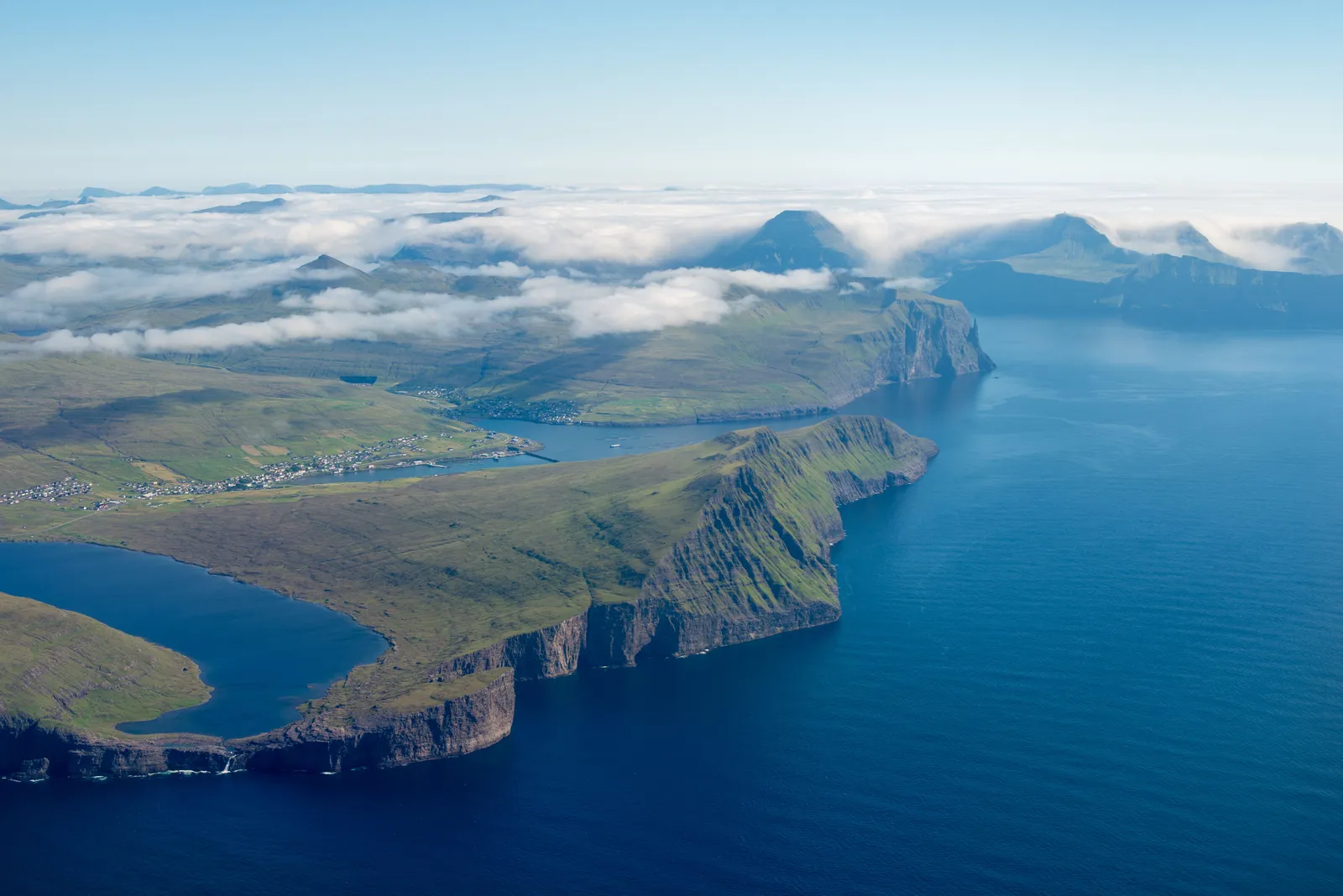
Strictly speaking, the headline comparison works best when you consider the whole mid-ocean ridge system. That global network of ridges winds around the planet for tens of thousands of miles, which makes it the longest mountain range on Earth by a wide margin. The Atlantic section alone is already enormous, and it’s often described as a separate giant in its own right.
Compare that with the Andes, the longest chain on land, which stretches along the western edge of South America for several thousand miles. The ridge system dwarfs it. It’s less about height and more about sheer continuity, since a mountain range doesn’t have to be tall to be long.
A Mountain Range Built by Moving Plates
🔥 Would you like to save this?
We'll email this post to you, so you can come back to it later!
The ridge exists because the plates on either side are slowly pulling apart. As they separate, molten rock rises from below, cools, and hardens into new seafloor. Over millions of years, that process has widened the Atlantic and pushed the continents farther apart.
The pace is slow, generally measured in a few centimeters a year, roughly comparable to the speed at which fingernails grow. It doesn’t sound like much. Over geological time, though, it’s enough to reshape entire ocean basins.
Why So Much of It Is Still Unexplored
🔥 Would you like to save this?
We'll email this post to you, so you can come back to it later!
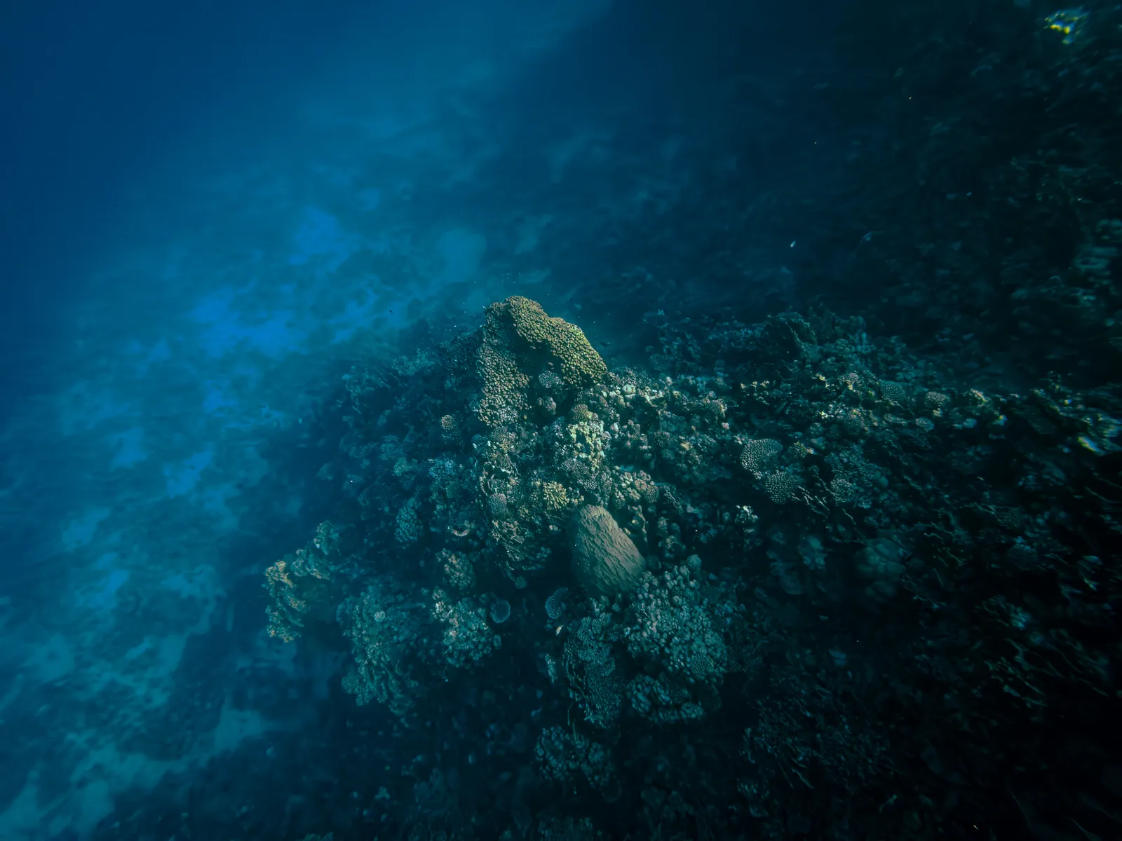
Deep water is a tough environment to study. Sunlight doesn’t reach it, pressure is crushing, and ships can only cover so much area. Scientists have mapped large parts of the seafloor using sonar from ships and satellite measurements of tiny variations in gravity, but those methods give a coarse picture in many regions.
High resolution mapping is much more limited. Major international efforts, such as the Seabed 2030 project, exist because a large share of the global ocean floor still hasn’t been surveyed in fine detail. So yes, we often have better maps of other planets’ surfaces than of parts of our own seafloor, a comparison scientists and mapping groups commonly make, though it mostly applies to resolution.
Hydrothermal Vents and Strange Life
🔥 Would you like to save this?
We'll email this post to you, so you can come back to it later!
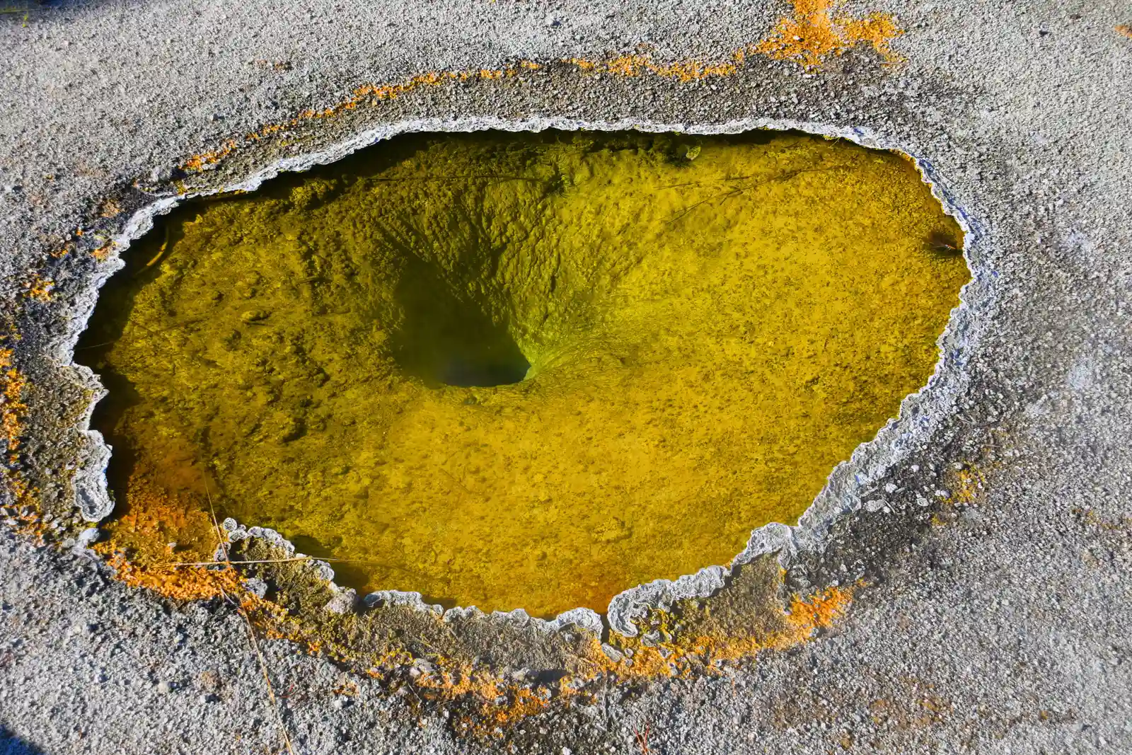
Along ridges like this one, seawater seeps into cracks, gets heated by the rock below, and comes back out through hydrothermal vents. Some of these vents form towering mineral chimneys. The Lost City field, found near the Mid-Atlantic Ridge, is a well known example of a different type of vent system, with tall carbonate structures.
Vent communities host organisms that rely on chemical energy rather than sunlight. Shrimp, mussels, and microbes have all been found at Atlantic vent sites. Researchers continue to study these places partly because they offer clues about how life can survive in extreme conditions.
Iceland and Other Places Where the Ridge Surfaces
🔥 Would you like to save this?
We'll email this post to you, so you can come back to it later!
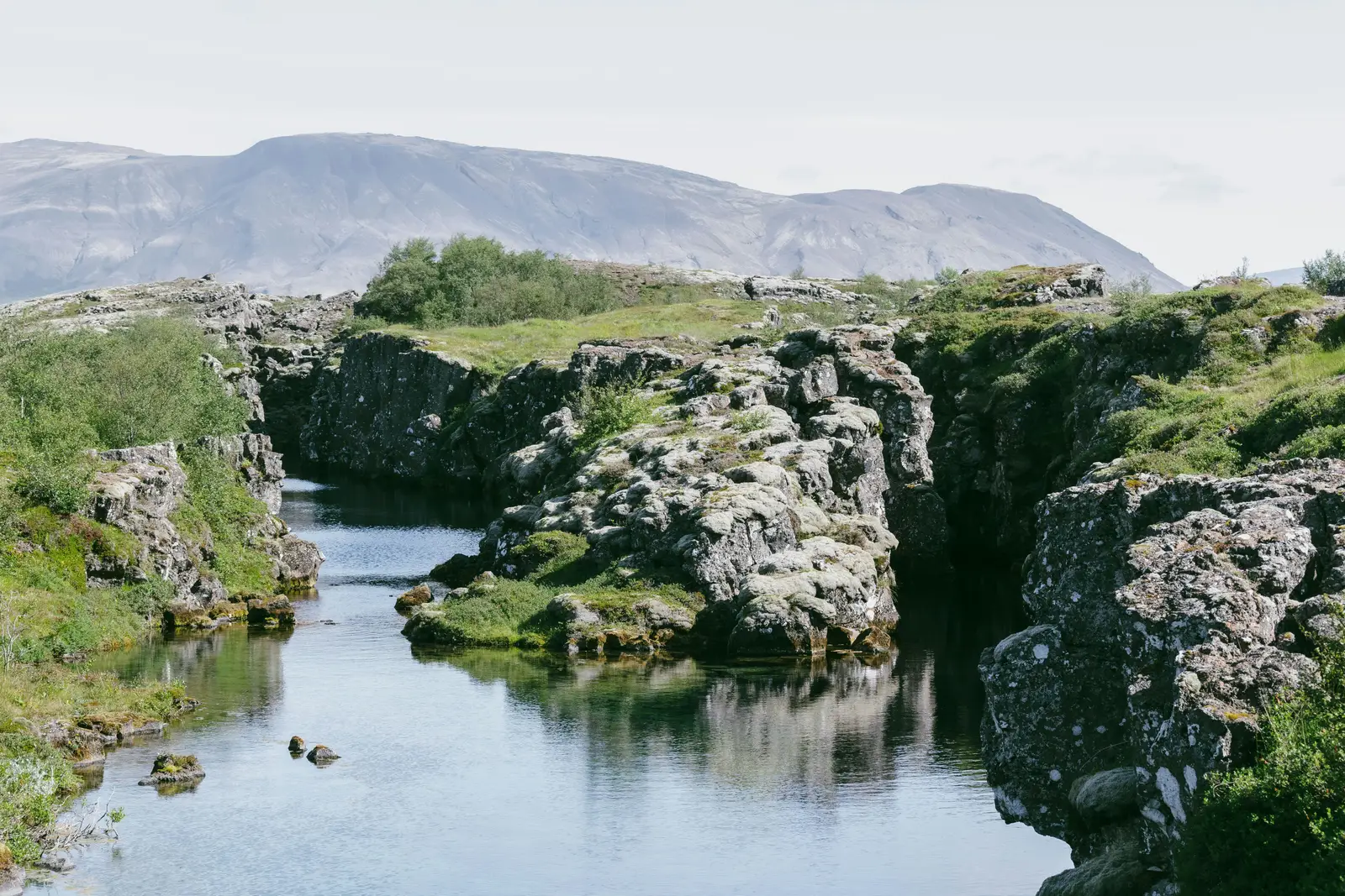
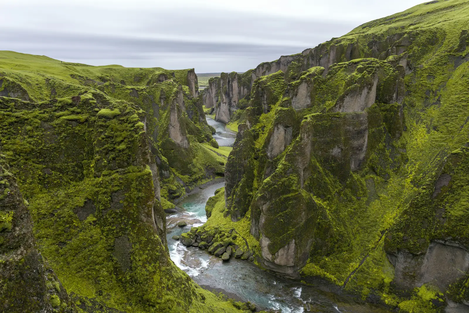
Iceland sits on the ridge and is influenced by a hotspot as well, which helps explain why it rises above the sea. You can actually see the plate boundary there in rifts and fissures on land. At Thingvellir National Park, visitors can walk through a valley shaped by the pulling apart of the plates.
Other islands, including the Azores and Ascension Island, are also associated with the ridge or its surroundings. They’re like small windows into a hidden landscape. Still, they represent only a tiny fraction of what’s beneath.
Final Thoughts
🔥 Would you like to save this?
We'll email this post to you, so you can come back to it later!
I think it’s genuinely odd, and a little humbling, that the largest mountain system on Earth is one most people couldn’t point to on a map. We spend so much attention on summits we can climb and photograph, while the planet’s most active mountain building happens out of sight. That says something about our priorities.
My view is that ocean mapping deserves far more public support than it gets. It’s relatively unglamorous work, yet it feeds into everything from understanding earthquakes to protecting marine life. Until we see this range clearly, we’re only half acquainted with our own world.

- 7 Everyday Habits That Can Make Your Senior Dog Happier - November 5, 2026
- 10 Enigmatic Structures That Continue to Puzzle Scientists Today - November 5, 2026
- 10 Strange Ruins in the Americas That Challenge What We Know About Early History - November 5, 2026