Stratospheric Shift Sparks Arctic Intrusion (Image Credits: Flickr)
Central United States – A disrupted polar vortex lobe surges from Canada, fueling the rapid intensification of Winter Storm Iona into a bomb cyclone over the weekend.[1]
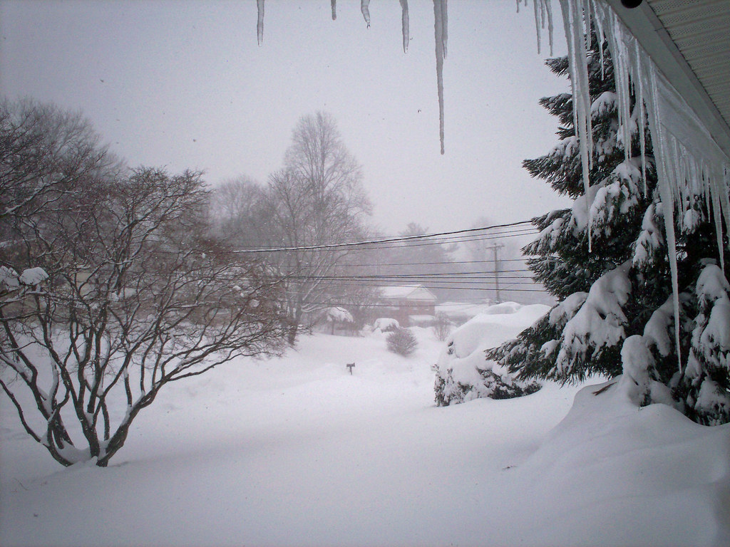
Stratospheric Shift Sparks Arctic Intrusion
Recent stratospheric warming has fractured the polar vortex, the massive ring of high-altitude winds encircling the North Pole. This breakdown propels a deep southern lobe directly into the U.S. heartland. The vortex, spanning the stratosphere and troposphere, typically confines frigid air to polar regions. Now, its collapse unleashes waves of extreme cold across North America.[1]
Powerful jet stream winds topping 130 knots amplify the trough digging southeastward. Models show the vortex core collapsing fully by early next week, with Arctic air displacing milder conditions nationwide. This pattern follows a volatile stretch of spring-like warmth punctuated by severe thunderstorms earlier in the week.
Storm Iona’s Bombogenesis Trajectory
Winter Storm Iona organizes across the Midwest early Sunday, then undergoes explosive deepening as Arctic cold clashes with Gulf of Mexico moisture. Central pressure plummets more than 24 millibars in 24 hours, hallmark of a bomb cyclone. The system tracks toward the Great Lakes and Northeast by Sunday night into Monday.[1]
Ahead of the front, southerly winds haul humid air northward, priming heavy precipitation. Post-storm, lake-effect bands intensify over Lakes Michigan, Huron, Erie, and Ontario through midweek. Forecasters track the low from central Plains origins to mature off the East Coast.
Blizzard Fury and Heavy Snow Threats
Sunday brings blizzard conditions to the Upper Midwest and Great Lakes, with snow rates surpassing one inch per hour. Winds gusting 60-70 mph whip up whiteouts and drifts, slashing visibility to near zero. Travel grinds to a halt amid road closures and flight delays.[1]
Accumulations pile up dramatically in targeted zones:
- Upper Midwest (Minnesota, Wisconsin): 25-30 inches, locally over 30 inches
- Northern Great Lakes (Michigan, northern Illinois, Indiana): 20-25 inches
- Ohio, upstate New York, northern New England: 12-20 inches
- Intensifying lake-effect snow: 1-2 feet additional in downwind areas
Power outages loom large from snow-laden trees and wind damage. Drifting snow forms barriers several feet high, stranding vehicles and isolating communities.
Deep Freeze Grips Vast Regions
Behind Iona, Arctic air plunges temperatures 30-40 degrees Fahrenheit below normal across the eastern two-thirds of the nation. Monday mornings deliver single digits or subzero readings in the Upper Midwest and Dakotas. Tens of degrees prevail in the Ohio Valley, while low 20s°F reach the Southeast.[1]
| Region | Monday Morning Lows (°F) |
|---|
Upper Midwest0 to -10Midwest/Ohio Valley10sCentral Plains/SoutheastLow-mid 20sDeep South (e.g., central Texas)Sub-freezing
Flash-freezing locks rain into ice sheets. Over 100 million residents brace for the chill through Tuesday, with prolonged hard freezes in the East.
Key Takeaways
- Polar vortex lobe drives bomb cyclone Iona, peaking Sunday-Monday.
- Blizzards threaten 2+ feet of snow in Midwest/Great Lakes.
- Arctic surge shatters temp records, reaching deep South.
As Winter Storm Iona barrels forward, residents from the Plains to the Northeast prepare for its wrath – a stark reminder of winter’s lingering grip. Stock essentials and stay safe. What impacts are heading your way? Share in the comments below.
- Urban Coyotes Show Remarkable Adaptability, Learning to Thrive in City Environments - July 22, 2026
- Beavers Are Nature’s Engineers, Creating Vital Habitats for Other Wildlife Species - July 21, 2026
- The Recovery of the California Condor Offers Hope for Other Critically Endangered Birds - July 21, 2026