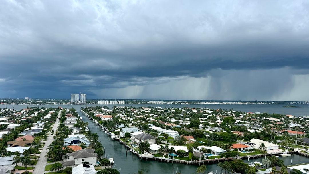
Flash flood threat continues across Florida, Southeast as tropical downpours bring drought relief – Image for illustrative purposes only (Image credits: Unsplash)
Florida residents are already contending with rising water levels in low-lying neighborhoods as an influx of tropical moisture fuels repeated rounds of heavy rain and thunderstorms. The same pattern is extending into parts of the Southeast, where officials are monitoring rivers and drainage systems that could quickly overwhelm. While the downpours offer welcome relief to areas long gripped by drought, the immediate concern centers on flash flooding that can develop with little warning.
Why the Pattern Is Intensifying Now
An active weather setup is drawing unusually rich tropical moisture northward across the region. Forecasters note that this moisture interacts with daytime heating and sea-breeze boundaries, producing slow-moving storms capable of dumping several inches of rain in just a few hours. The result is a multi-day stretch of elevated rainfall totals that began building earlier this week and shows no immediate sign of easing.
Soil conditions play a key role in the heightened risk. Many spots that had been unusually dry are now absorbing water at a slower rate once saturation sets in, turning streets and fields into temporary waterways. This combination of heavy rain rates and limited absorption capacity is what elevates the flash-flood threat above typical summer thunderstorm activity.
Areas Most Likely to See Impacts
Central and southern Florida face the greatest concentration of storms through the coming days, with coastal counties particularly vulnerable due to already elevated groundwater. Farther north, parts of Georgia and the Carolinas are also under watch as the moisture plume shifts. Urban zones with extensive pavement and older drainage infrastructure stand to experience the quickest runoff problems.
- Low-lying residential streets and underpasses prone to rapid ponding
- Small streams and creeks that can rise several feet within an hour
- Agricultural fields where standing water may delay planting or harvesting
- Travel corridors where visibility drops sharply during downpours
What Residents Should Watch For
Local emergency management agencies continue to urge drivers to avoid flooded roadways, noting that even a few inches of moving water can sweep vehicles away. Homeowners in flood-prone zones are advised to clear gutters and downspouts ahead of each new round of storms. Those relying on wells or septic systems should monitor for backup as groundwater rises.
The drought relief aspect remains a longer-term positive. Many agricultural operations and water managers have welcomed the replenishment of reservoirs and soil moisture after months of below-average rainfall. Yet the short-term trade-off is clear: the same moisture that eases one problem can quickly create another if it arrives faster than the ground can handle.
Communities across the affected states will continue to balance these competing outcomes as the pattern unfolds. The coming days will test both infrastructure resilience and individual preparedness in equal measure.
As a little kid, I fell in love with nature, wildlife, and animals. Living in the USA, South Africa, Italy, China and Germany gave me the opportunity to discover the world's Wildlife. My favorite animals are Mountain Gorillas, Siberian Tigers, and Great White Sharks.
I'm a certified PADI Open Water Diver, went to Everest Base Camp and Trekked Gorillas in Uganda. I hold a Master of Science in Economics and Finance.
Please send any feedback to feedback@animalsaroundtheglobe.com
- 14 Most Surprising Secrets of Americas Ocean Depths - July 22, 2026
- 13 Pets That Are Legal in the U.S. Only - July 22, 2026
- 14 Most Intelligent Wild Creatures - July 22, 2026