

The Pacific Ocean has been quietly building toward something. After more than a year of La Niña’s cooler grip on the tropics, sea surface temperatures near the equator are climbing, and forecasters across the world’s leading climate agencies are watching closely. What they’re seeing is a pattern that could reshape American summers in ways both familiar and genuinely unsettling.
El Niño is expected to develop early in the summer and will have a growing influence on the tropics and the broader weather pattern across the United States through the rest of 2026. Whether this turns into a run-of-the-mill warming event or something larger is still being debated. What isn’t debated is that the country should be paying attention.
What Is El Niño and Why Does It Matter So Much?
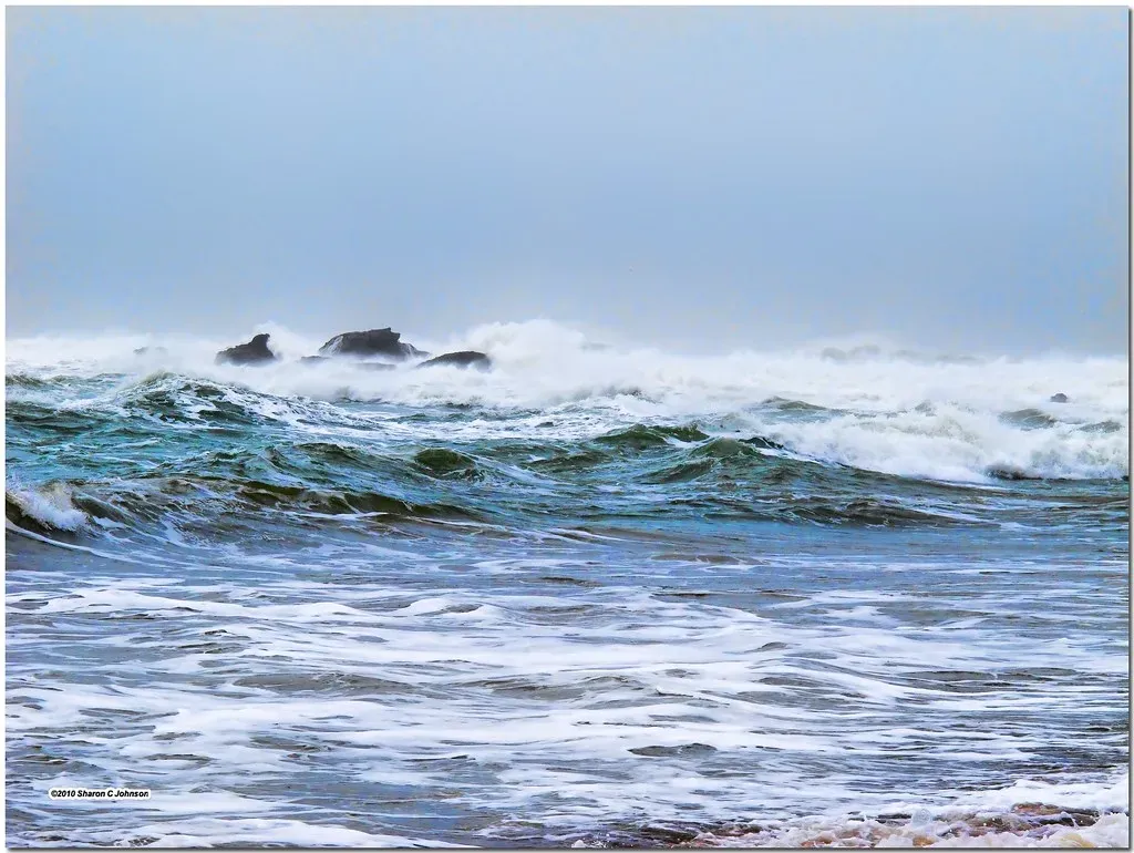
Every few years, the tropical Pacific flips a switch that the rest of the world can feel. El Niño happens when ocean water warms in the tropical Pacific near the equator. The opposite phase is La Niña, when that same region runs cooler than average. These swings are not random. They’re part of a well-documented cycle that recurs, disrupts, and demands attention.
When such a large stretch of the Pacific warms for months at a time, it can nudge the jet stream into a different position. That shift can change where storms track and where wet or dry patterns set up around the world. The effects are rarely subtle, and they’re almost never evenly distributed.
ENSO is one of the most important climate phenomena on Earth due to its ability to change the global atmospheric circulation, which in turn influences temperature and precipitation across the globe. From farm fields in Texas to snowpack in Washington State, almost every region of the United States has a stake in how this event plays out.
How Strong Could This El Niño Get?
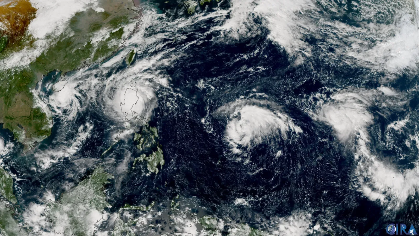
As of mid-April 2026, the equatorial Pacific is in an ENSO-neutral state but rapidly transitioning toward El Niño. The latest IRI ENSO forecast gives a 70% chance of El Niño developing in April through June 2026, with El Niño remaining dominant through the rest of 2026 at high probabilities of 88 to 94%.
There is a 20 to 25% chance of a super El Niño developing in 2026, according to current ECMWF and IRI model ensembles. The IRI gives El Niño overall an 85% probability through year-end, with an 80% chance of it reaching strong status.
Latest oceanic analysis confirms a significant subsurface warming in the tropical Pacific, with data suggesting this event could reach Super El Niño status in the second half of 2026. Strong El Niños do not happen often. There have been only five since 1950, with the last taking place from 2015 to 2016. The potential for a sixth is drawing serious scientific attention.
The Science Behind the Ocean Heat Building Right Now

This emerging warm phase is powered by a massive oceanic Kelvin wave currently surfacing in the eastern Pacific, driven by powerful westerly trade winds. Think of a Kelvin wave as a slow-moving underwater surge of warm water pushing east across the Pacific. Once it surfaces, it can rapidly shift atmospheric conditions above it.
El Niño occurs when trade winds weaken, allowing vast volumes of warm ocean water to move from the Eastern Pacific toward the Americas. That warming then works its way up into the atmosphere, reshaping wind patterns and storm tracks across entire continents.
El Niños release heat stored in the ocean back into the atmosphere, which causes global average surface temperatures to rise. A strong El Niño, coupled with rising temperatures due to climate change, could set new records for the warmest year in 2026 or 2027.
A Scorching Summer Ahead for the West and South
Above-normal temperatures are forecast for Summer 2026 across the northwestern United States and western Canada, as well as across the southern and southeastern United States. For many communities in these regions, that’s not just an inconvenience. It’s a public health and infrastructure challenge.
Researchers from UCLA note that even small increases in global temperatures increase the frequency and severity of long-duration heat waves, and the underlying warming trend makes previously unlikely heat events much more plausible. Experts warn that such conditions could have serious consequences for human health, energy infrastructure, and wildfire risk in already-vulnerable regions.
The outlook projects a high amplitude high pressure ridge over the Northwest U.S. during June. The pattern is likely to become semi-permanent during the last half of the month. The upper ridge combined with strengthening drought supports possible record warmth, especially in the Northwest U.S.
Wildfire Season Concerns in the Pacific Northwest

Historically, El Niño tends to bring warmer and drier conditions to the Pacific Northwest, especially during the winter and into the following spring and summer. That pattern can have a cascading effect, bringing earlier snowmelt, reduced snowpack, and drier soils and vegetation. Those factors can significantly increase wildfire risk during the summer months and early fall.
Washington has already declared a statewide drought emergency for a fourth straight year, with snowpack at roughly half of normal levels and melting early. Oregon is facing similar concerns after a warmer-than-average winter and dismal snowpack. The region is going into fire season already in deficit.
El Niño can also contribute to drought, wildfire, changes to marine productivity and salmon populations, and shoreline erosion. The ripple effects across the region’s ecosystems go well beyond temperature readings.
Flash Flooding and Severe Storms in the Central US
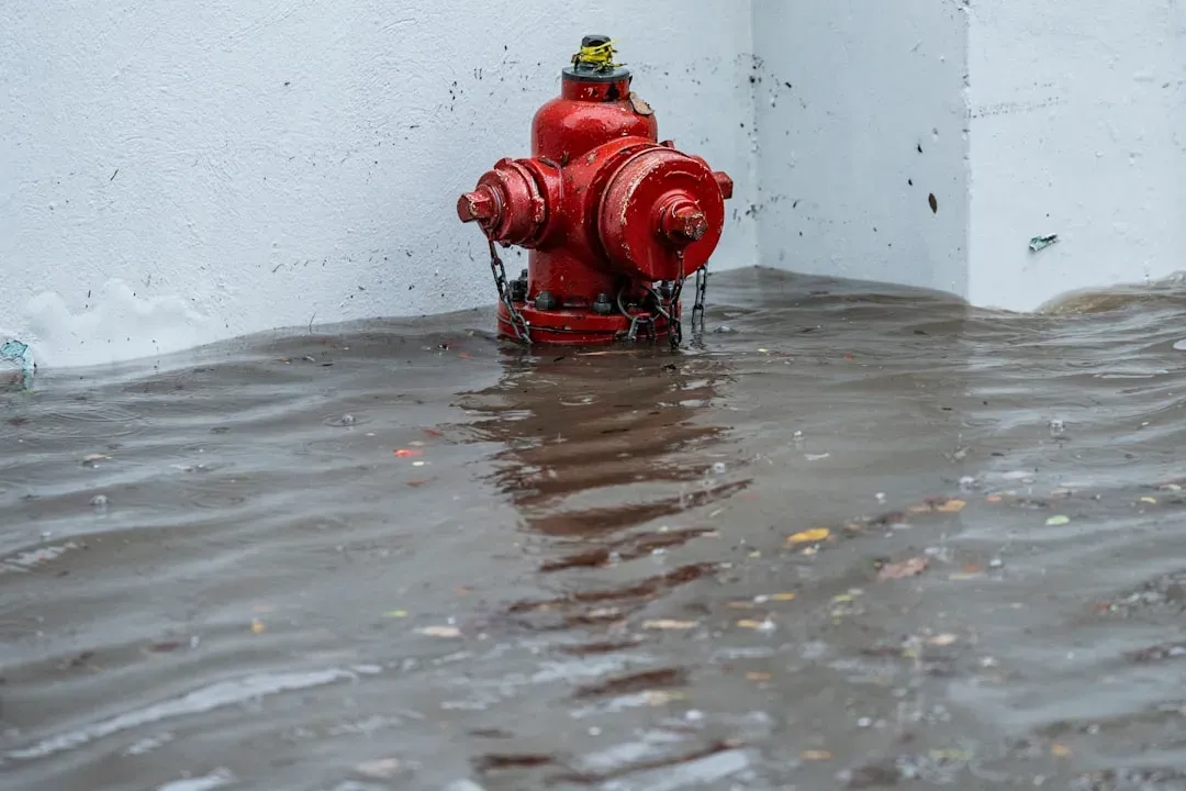
Summer 2026 is expected to bring a volatile mix of heat, severe thunderstorms and flooding to the United States, with El Niño developing and flexing its influence on the weather pattern. The central part of the country in particular sits at the intersection of competing weather forces, and the results can be violent.
Summer thunderstorms could help ease drought concerns in the mid-Atlantic and parts of the central U.S., but they may also raise the risk of flash flooding, including in parts of the Texas Hill Country.
The Texas Hill Country is just one of several areas that face a flood risk this summer. Flash flood events are expected in parts of the Plains, Mississippi Valley and Ohio Valley on a higher frequency this summer. The same rainfall that brings relief can arrive in destructive bursts.
Drought Conditions Across the Southern Plains
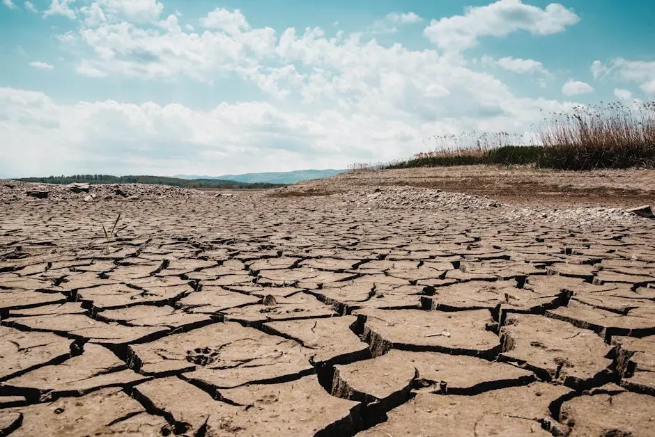
The American Southwest and the Southern Plains have been in drought for nearly six years. As a result, reservoirs are low, streamflow is low, and aquifers are low. It will take more than one wet year to refill low reservoirs, streams, and aquifers.
El Niño usually coincides with cooler, wetter conditions for the Southern U.S. El Niño patterns can become drought busters for the Southern U.S., as occurred in the winters of 1957-58, 1982-83, 1997-98, and 2015-16. History offers some hope here, though it has also offered disappointment.
If an El Niño pattern forms in the Pacific later this year, there’s no guarantee it will remove drought conditions in the Southern Plains. Typical El Niño weather patterns would bring needed improvement to drought across the Southern Plains, but they will not definitely end it without being historically wet, which could bring other consequences including flooding.
What the Southeast and Gulf Coast Can Expect
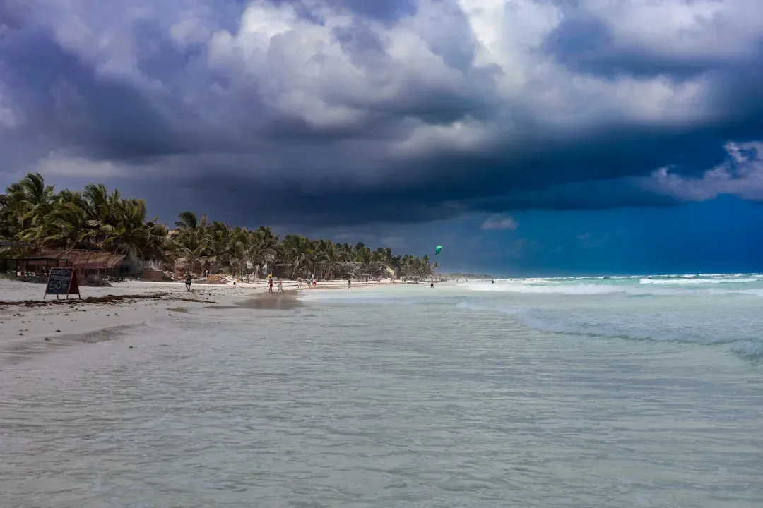
During El Niño, the warming nudges the Pacific jet stream south of its normal position. As a result, the northern U.S. and Canada often see warmer, drier conditions, while the Gulf Coast and Southeast are more likely to experience wetter-than-normal weather and a heightened flood risk.
The early start to the El Niño can lead to an increase in moisture from the southern Plains to the East Coast during summer and fall. For residents from Louisiana to the Carolinas, that means more rain events, and potentially more flooding, throughout the season.
A wetter effect by the developing El Niño on the Southern U.S. states is expected during mid-to-late 2026 warm season. Whether that moisture arrives as steady relief or sudden, damaging downpours will depend on how the pattern evolves month to month.
Atlantic Hurricane Season: Could El Niño Be a Shield?
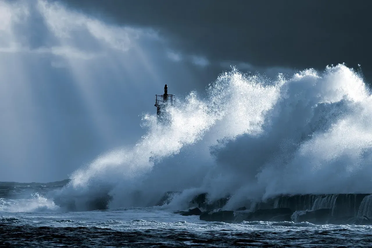
Based on extensive research, it is well known that an El Niño event reduces the number of hurricanes and tropical systems overall in the Atlantic. The reason is that El Niño brings higher pressure to the Atlantic, stronger wind shear, and a more stable atmosphere, preventing the storms from organizing and powering up into large systems.
There is a strong correlation between El Niño and less active Atlantic hurricane seasons. This is because El Niño favors stronger vertical wind shear in the Atlantic, which can cause developing tropical storms to rip apart, and thus acts as a suppressant.
Still, this is not a guarantee of quiet waters. A Super El Niño could also suppress hurricane activity in the Atlantic, potentially altering disaster preparedness and insurance risk for coastal communities. These effects have both economic and social implications, affecting agriculture, water supply, and energy demand.
Climate Change Is Amplifying Everything
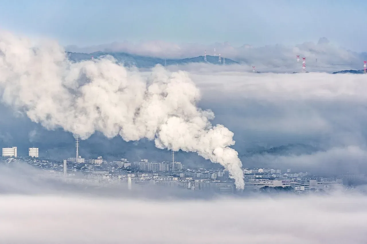
Strong El Niños can alter weather patterns for years. A December 2025 study found that a super El Niño year can trigger climate regime shifts, which are sudden and persistent changes in a climate system that pose serious threats to ecosystems and human well-being, and a warming world would make them a more frequent occurrence.
The interaction between climate change and El Niño is not completely understood, but El Niño could temporarily exacerbate the warming effects of climate change and contribute to events like droughts, wildfires, and marine heat waves.
El Niño tends to release enormous amounts of heat stored in the oceans back into the atmosphere, boosting global average surface temperatures. If a strong El Niño does form and continues through the winter, then it is almost assured that either 2026, 2027, or both years will set new records for the warmest year since instrument data began in the 19th century.
The Uncertainty Factor: What Forecasters Can’t Yet Tell Us
There is what forecasters call the spring predictability barrier, when models are often less reliable than they are later in the year. Even with that limitation, forecasters say the overall pattern still points toward El Niño developing by autumn.
Experts caution that, while the models point to a significant El Niño, uncertainty remains. The difference between a moderate and a super El Niño is not merely academic. It is the difference between a difficult summer and a historically disruptive one. California is the biggest wild card: the 1997-98 super El Niño brought devastating floods, but the 2015-16 event mostly missed the state.
A Super El Niño differs from a normal event because the warming in the Pacific becomes more intense, resulting in an even stronger impact on global weather. This can lead to much more extreme weather shifts, turning typical seasonal changes into high-impact events like massive flooding, severe droughts, and significantly altered storm tracks that can affect the entire planet.
How Americans Should Be Preparing Right Now
Residents, particularly along the Gulf Coast and southern states, may need to prepare for unusual rainfall patterns and extreme heat, while coastal communities along the Atlantic can hope for a less active hurricane season. Planning ahead, though, is more than just hoping for the best-case scenario.
Drought conditions are likely to expand across the Northwest and Northern California, and long dry stretches could also intensify drought along parts of the Gulf Coast and the southern and central Appalachians. Water managers, farmers, and fire agencies are already adjusting their outlooks accordingly.
El Niño is forecast to strengthen and could evolve into a rare super El Niño later in 2026, when it could have bigger impacts on the weather across the United States in the final months of 2026 and the start of 2027. The summer, in other words, is only the beginning of a longer story worth tracking carefully.
Conclusion

El Niño doesn’t announce itself with much fanfare. It arrives gradually through warming water temperatures measured in fractions of a degree, through shifts in trade winds, through subsurface ocean heat that most people never see. Yet its consequences show up clearly enough: in parched riverbeds, flooded plains, charred hillsides, and seasons that simply don’t behave the way they used to.
What makes 2026 particularly worth watching is the scale of what may be building. The models are confident about the direction. The strength remains an open question, but even a moderate El Niño carries real consequences for the country’s water supply, food production, energy demand, and public safety. The wisest posture, for now, is neither alarm nor dismissal. It’s preparation.
Climate patterns like this one have always shaped life on the continent. The difference today is that we can see them coming, and for once, that knowledge is genuinely useful if we choose to act on it.

- 15 Tender Things Old Dogs Do the Closer the End Quietly Comes - July 21, 2026
- 14 Ways a Rescue Cat Shows It Has Given You Its Fragile Heart - July 21, 2026
- 13 Familiar Things That Bring an Aging Dog Deep, Quiet Comfort - July 21, 2026