Most places on Earth that carry a dramatic name tend to disappoint up close. Death Valley is the exception. Standing at the edge of Badwater Basin, with a salt-crusted white floor stretching toward the horizon and sheer mountain walls rising on either side, it feels genuinely otherworldly. The scale is hard to absorb.
Death Valley is a land of extremes, holding the title of the hottest, driest, and lowest-elevation national park. Yet the question that tends to catch visitors off guard is not about the heat or the dryness. It is a simpler, stranger one: why is part of this landscape actually The ocean is nowhere near here. The answer reaches back millions of years, and involves forces still active today.
The Graben: Earth’s Crust Pulled Apart
The foundation of the answer lies in a geological structure called a graben. Death Valley is a graben, a downdropped block of land between two mountain ranges. This is not a random quirk of erosion. It is the direct result of tectonic forces stretching and thinning the crust beneath the American West.
The geological foundation for Death Valley began to form roughly 15 to 20 million years ago, driven by massive tectonic forces pulling the western North American continent apart. As the crust was stretched, it cracked along fault lines. Beginning two to three million years ago, local extension intensified, causing the central block of the valley floor to drop significantly. Geologists call this dropped block a graben, bounded by steep faults. Adjacent blocks, such as the Panamint Range and the Black Mountains, were simultaneously uplifted relative to the valley floor, forming horsts.
The immense depth of Death Valley results from the valley floor sinking and the mountains rising simultaneously. Geophysical surveys indicate the bedrock floor is buried beneath as much as 9,000 feet of sediment, meaning the graben is far deeper than the visible 282 feet below sea level. That figure alone reframes how dramatic the subsidence truly is.
The Basin and Range Province: A Region Still Stretching
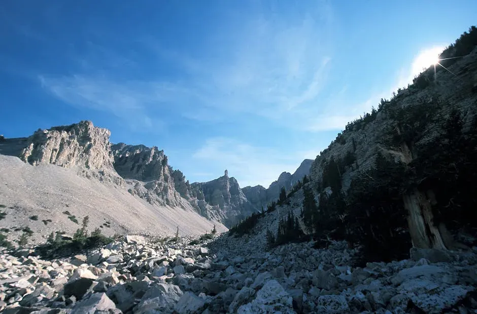
The valley is situated within the boundaries of the Basin and Range Province, a region characterized by stretching and thinning of the Earth’s crust. This vast geological zone covers much of the American Southwest, producing a repeated pattern of elongated mountain ranges separated by flat valley floors. Death Valley happens to be one of its most extreme examples.
This pulling apart of Earth’s crust allowed large blocks of land to slowly slide past one another along faults, forming alternating valleys and mountain ranges. The valley floor has been steadily slipping downward, subsiding along the fault that lies at the base of the Black Mountains. Subsidence continues today. Evidence of this can be seen in the fresh fault scarps exposed near Badwater.
As the tectonic plates stretched the crust, the valley’s basin continuously slipped downwards. This process is far from over, as where tectonic plates move, so too does Death Valley gain in size. It is, in a very real sense, a work in progress.
Badwater Basin: The Floor of a Continent
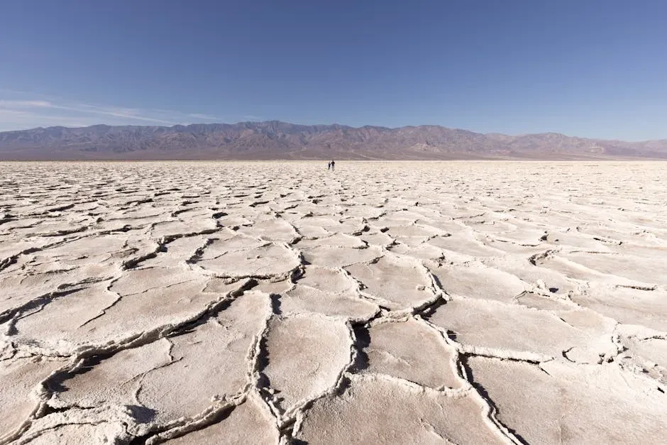
The valley is a closed basin, with about 500 square miles located below sea level in the Badwater Basin saltpan. There is no river draining this basin outward. Water that enters has nowhere to go. This salt layer is created over time as rain dissolves minerals from rocks and transports them downhill to lower elevations where temporary lakes form after heavy storms. As the water evaporates, the salts remain behind.
The salt flats here cover nearly 200 square miles, and are composed mostly of sodium chloride, along with calcite, gypsum, and borax. Beneath that white surface, the story gets even deeper. Beneath Badwater lies more than 11,000 feet of accumulated sediment and salts. Millennia of material, compressed and layered, resting at the bottom of one of Earth’s most dramatic depressions.
Fifteen miles from Badwater Basin is Telescope Peak, the highest mountain in the park, rising to 11,049 feet above sea level. The vertical drop from Telescope Peak to Badwater Basin is about twice the depth of the Grand Canyon. That contrast, visible from a single standing point, is difficult to fully comprehend.
The Rain Shadow: Why Aridity Locks It All In Place
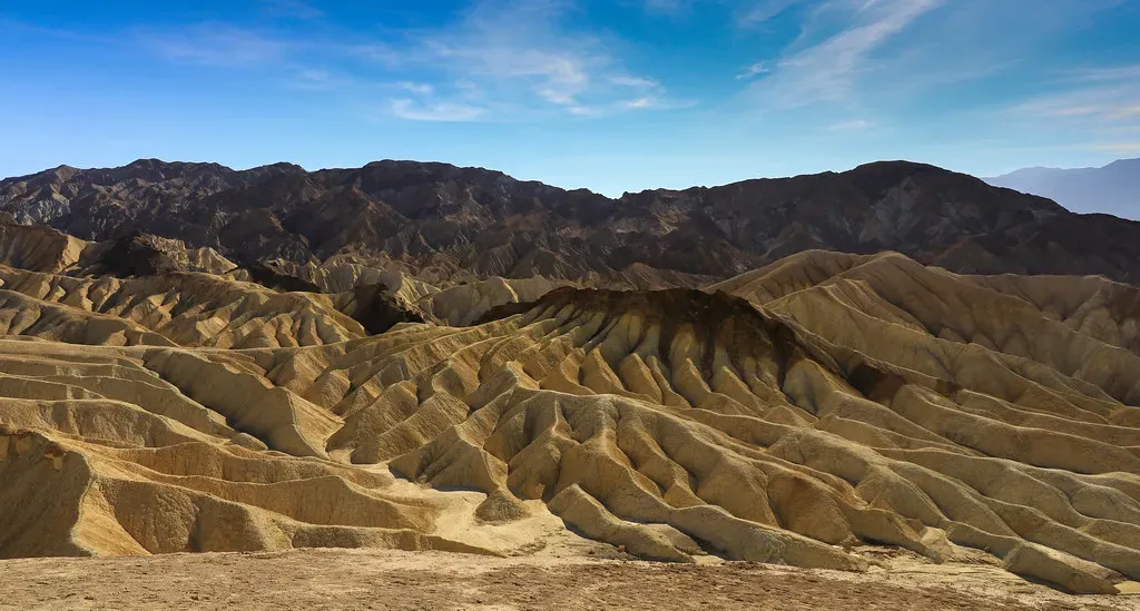
Tectonic forces created the depression, but it is the climate that preserves and amplifies it. The region is situated in the rain shadow of four major mountain ranges, including the Sierra Nevada and the Panamint Range. As moisture-laden air moves east from the Pacific Ocean, it is forced upward over each range, cooling and dropping its water as rain or snow on the western slopes. By the time the air reaches Death Valley, it has been stripped of most of its moisture, resulting in an average annual precipitation of only about two inches.
The 1.9 inches of average rainfall is overwhelmed by a 150-inch annual evaporation rate, and lakes are usually only a couple inches deep. This is the greatest evaporation potential in the United States, meaning that a 12-foot lake could dry up in a single year. The aridity is not just extreme. It is essentially total.
The extremely low elevation below sea level compresses the air, which heats it further. That feedback loop between depth, trapped air, and relentless solar heating is what makes Death Valley the hottest reliably measured place on the planet’s surface. The valley’s depth and surrounding mountain ranges trap heat, creating these blistering temperatures.
Ancient Seas, Ice Age Lakes, and a Living Landscape
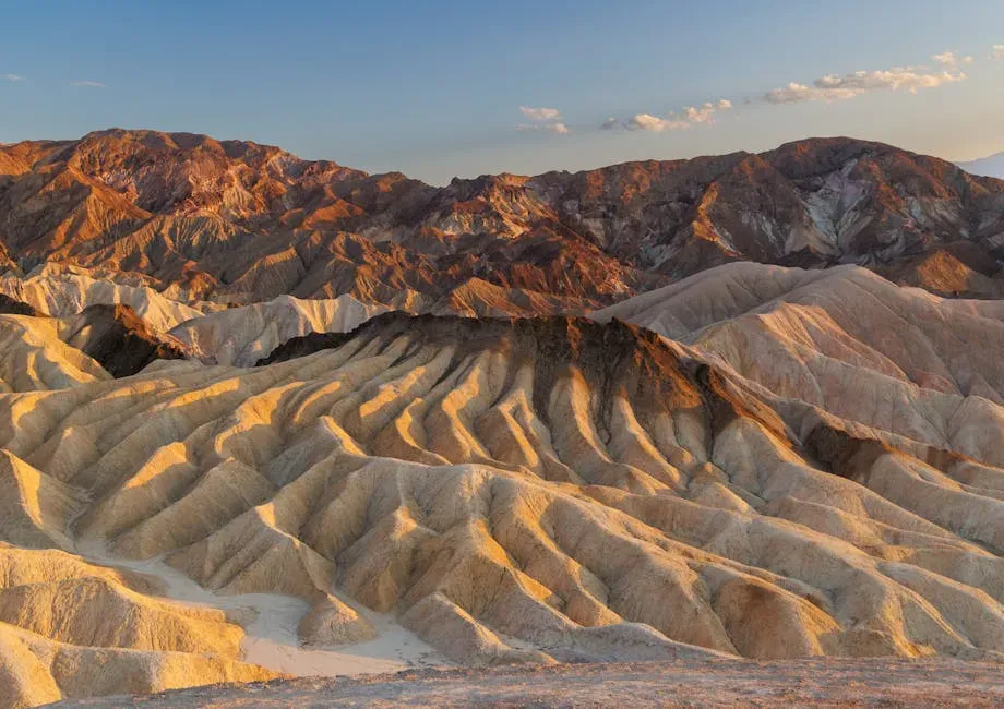
Long before any of this heat and aridity took hold, the region looked entirely different. The creation of dolomitic limestone in the Panamint Mountains can be attributed only to shell-building marine organisms, so geologists widely agree that throughout most of the Paleozoic Era, roughly 542 to 251 million years ago, the entire area was a warm, shallow sea. The oldest limestone dates back to around 500 million years, while rocks 400 million years and younger contain fossilized marine invertebrates, further proving the existence of a large body of water.
The landscape transformed dramatically much more recently too. According to current geological consensus, at various times during the middle of the Pleistocene era, which ended roughly 10,000 to 12,000 years ago, an inland lake, Lake Manly, formed in Death Valley. The lake was nearly 100 miles long and 600 feet deep. The idea of a deep, cold lake filling this landscape today seems almost impossible to picture.
As the area turned to desert the water evaporated, leaving an abundance of evaporitic salts, such as common sodium salts and borax, which were later exploited during the modern history of the region. Death Valley’s landscape has been changing for millions of years. It is changing now and will continue to change long after we have departed. Erosion slowly carves away at the ancient rock formations, reshaping the surface of the land. The basin continues to subside and the mountains rise ever higher.
Conclusion
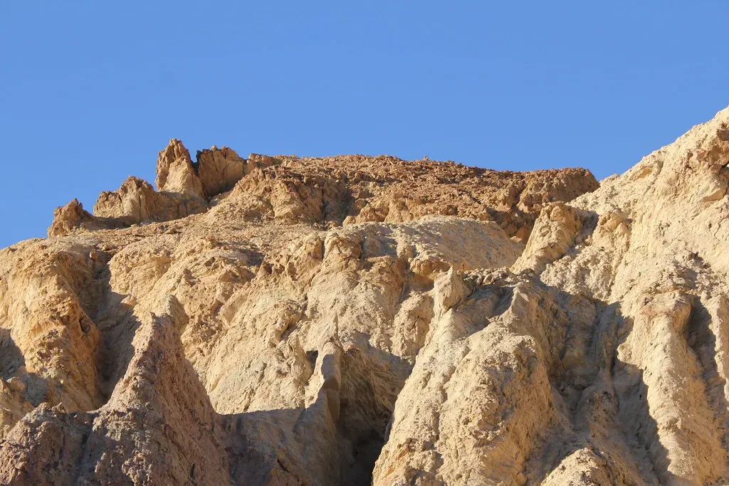
Death Valley sits below sea level not because of one dramatic event, but because of a slow, sustained convergence of forces. Tectonic stretching cracked the crust and dropped the basin. Fault movement kept pulling it deeper. A near-total absence of rainfall sealed its fate as an enclosed, hyperarid sink. And the mountains that rose on either side turned it into a heat trap unlike anywhere else on the continent.
What makes Death Valley genuinely compelling, beyond the superlatives, is that none of this is finished. The ground is still subsiding. The salt is still accumulating. The same forces that built this place over tens of millions of years are quietly continuing their work. Some landscapes feel like monuments to the past. Death Valley is still being made.