The Weight of Ice and Water
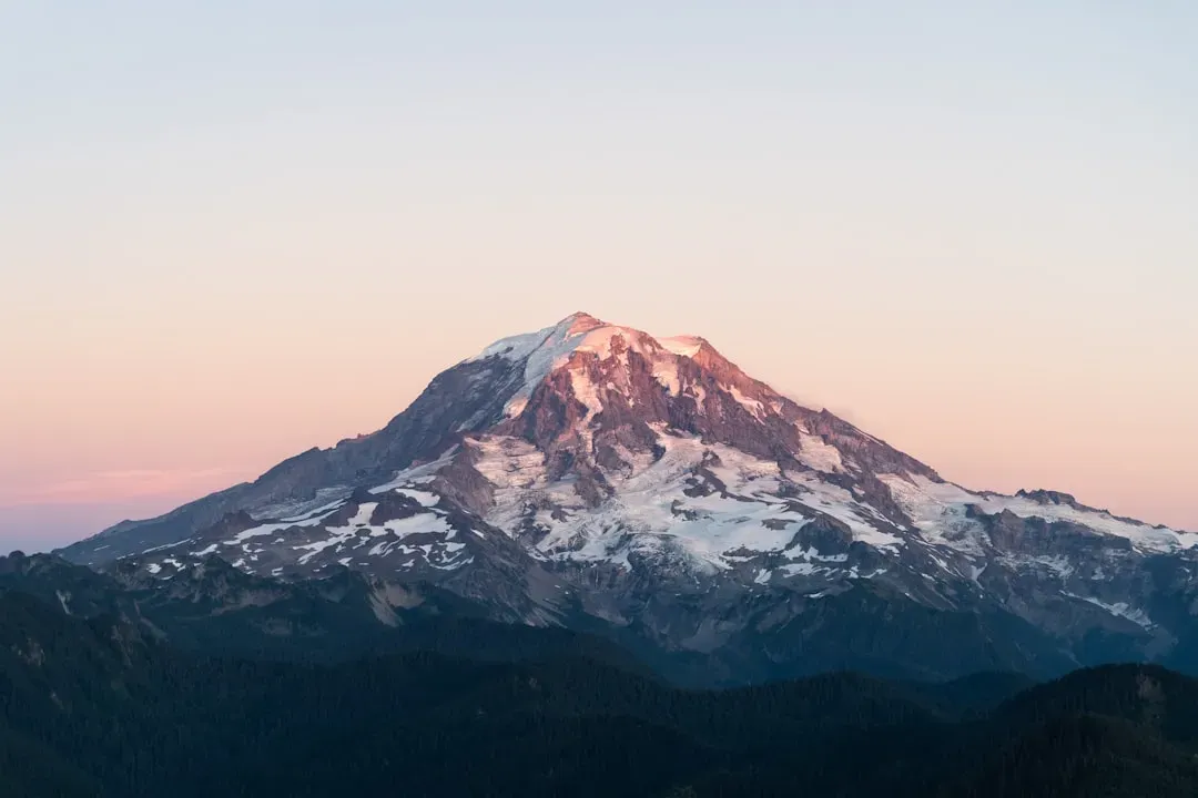
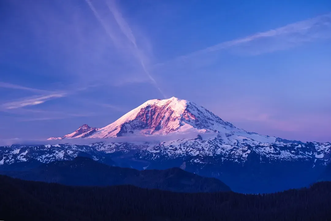
Mount Rainier carries more glacial ice than any other volcano in the Cascade Range, with twenty five major glaciers blanketing its slopes. That frozen mass sits atop a tall, steep cone that amplifies any sudden release of water. When heat from magma or even a sector collapse melts portions of those glaciers, the result is a lahar, a slurry of rock, mud, and water that can race downhill at highway speeds.
These flows do not need a full scale eruption to form. Weakened rock high on the mountain can give way on its own, sending debris hurtling into river valleys below. The sheer volume of available ice means even a modest event could generate a lahar far larger than those seen at other Cascade peaks.
Valleys That Lead Straight to Homes
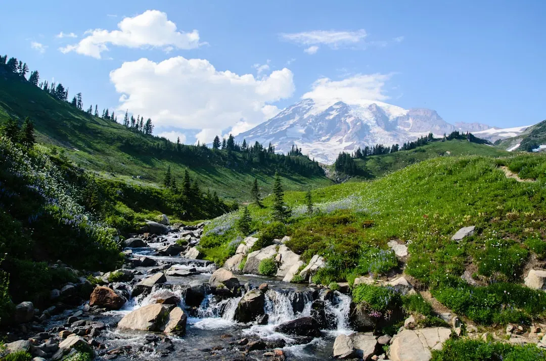
The mountain drains into several river systems that wind directly toward the outskirts of the Seattle Tacoma metropolitan area. Communities such as Orting, Puyallup, and Sumner sit in the path of potential flows, with some residents able to reach safety zones only if they move quickly. Broader estimates place roughly two million people within the wider influence zone when indirect effects like disrupted infrastructure are considered.
Unlike more remote volcanoes, Rainier sits upstream of a sprawling urban corridor. A single large lahar could sever roads, bridges, and utilities for hundreds of thousands while also threatening water supplies drawn from those same valleys. The geography leaves little room for error once movement begins.
Past Flows That Shaped the Lowlands
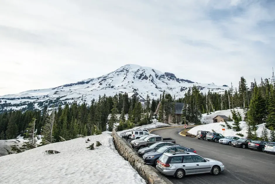
Geologic records show that massive lahars have reached the Puget Sound lowlands multiple times over the past ten thousand years. One of the largest, the Osceola Mudflow around five thousand years ago, spread across hundreds of square miles and left deposits thick enough to influence modern topography near present day Tacoma and Kent.
These ancient events demonstrate that the mountain has repeatedly sent debris far beyond its base. While the last major eruption occurred centuries ago, the underlying conditions that produced those flows remain unchanged. The record serves as a reminder that the next significant movement could follow similar routes.
Why Lahars Outrank Explosions Here
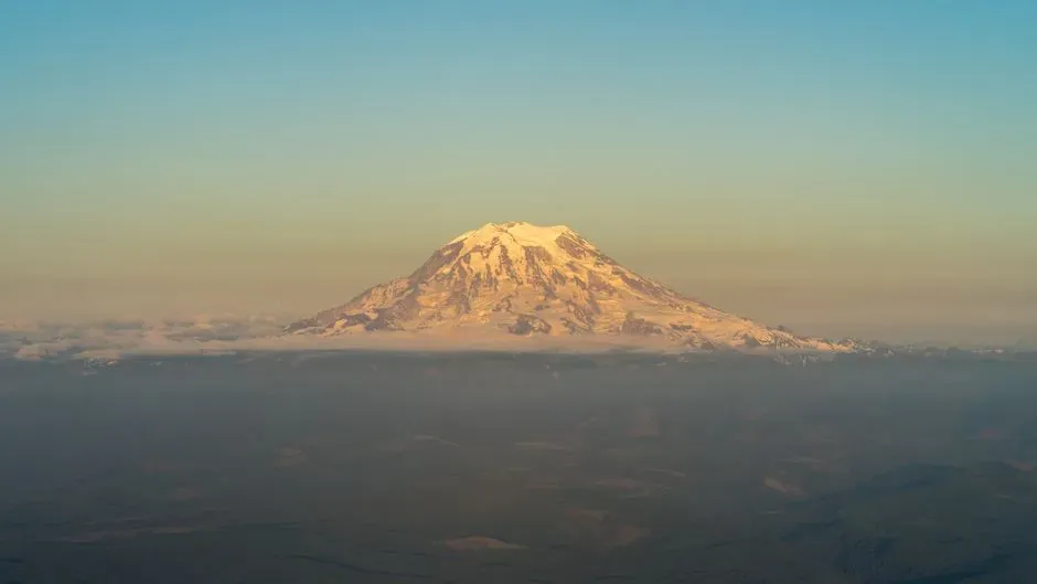
Many people picture volcanic danger as glowing lava or towering ash plumes, yet at Rainier the primary concern is different. Its height and ice cover make lahars the dominant risk, capable of traveling dozens of miles in under an hour. This hazard profile distinguishes it from volcanoes that might produce more visible but less far reaching effects.
Even without an eruption, seismic activity or gradual weakening can trigger flows. Scientists note that the combination of frequent small earthquakes, an active hydrothermal system, and the massive ice load creates conditions where sudden release remains possible at any time. The focus stays on speed and reach rather than spectacle.
Preparedness in the Shadow of Uncertainty
Local emergency plans include regular lahar drills in at risk valleys, with routes marked and sirens tested to give residents a fighting chance. Still, the speed of a large flow leaves narrow windows for evacuation, especially during nighttime or bad weather. Coordination across multiple counties adds another layer of complexity when every minute counts.
Monitoring networks track earthquakes and ground deformation around the clock, yet no system can predict exactly when or how large the next event might be. Residents balance the everyday beauty of the mountain with the knowledge that its next chapter could arrive without much preamble. The challenge lies in staying ready without letting the possibility dominate daily life.
The mountain will continue to draw visitors and shape the skyline regardless of what lies ahead. What matters most is whether the people living in its drainage paths treat that reality as a permanent neighbor rather than a distant possibility.