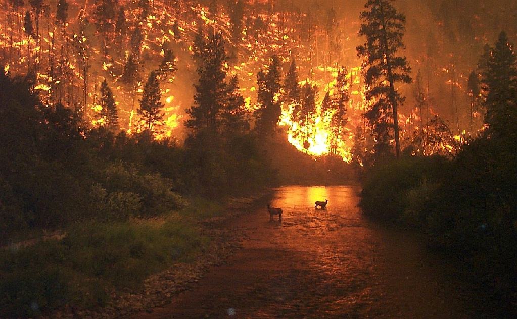
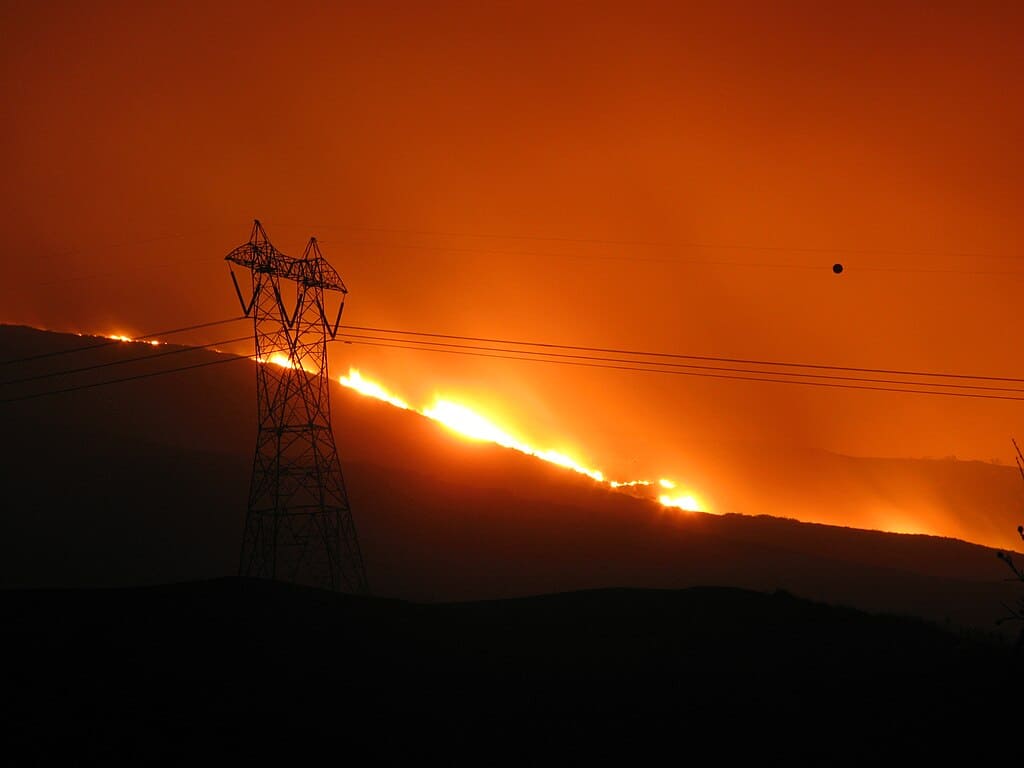
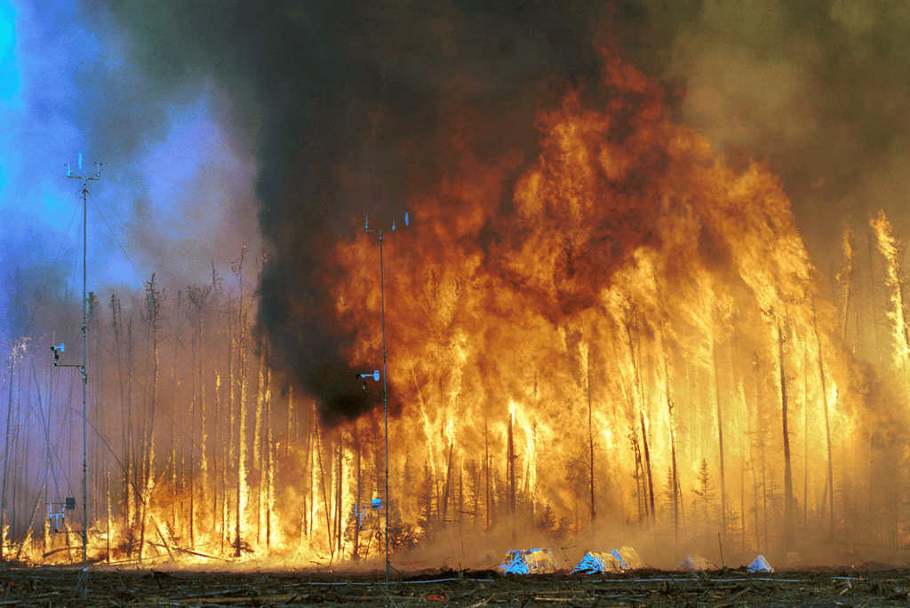
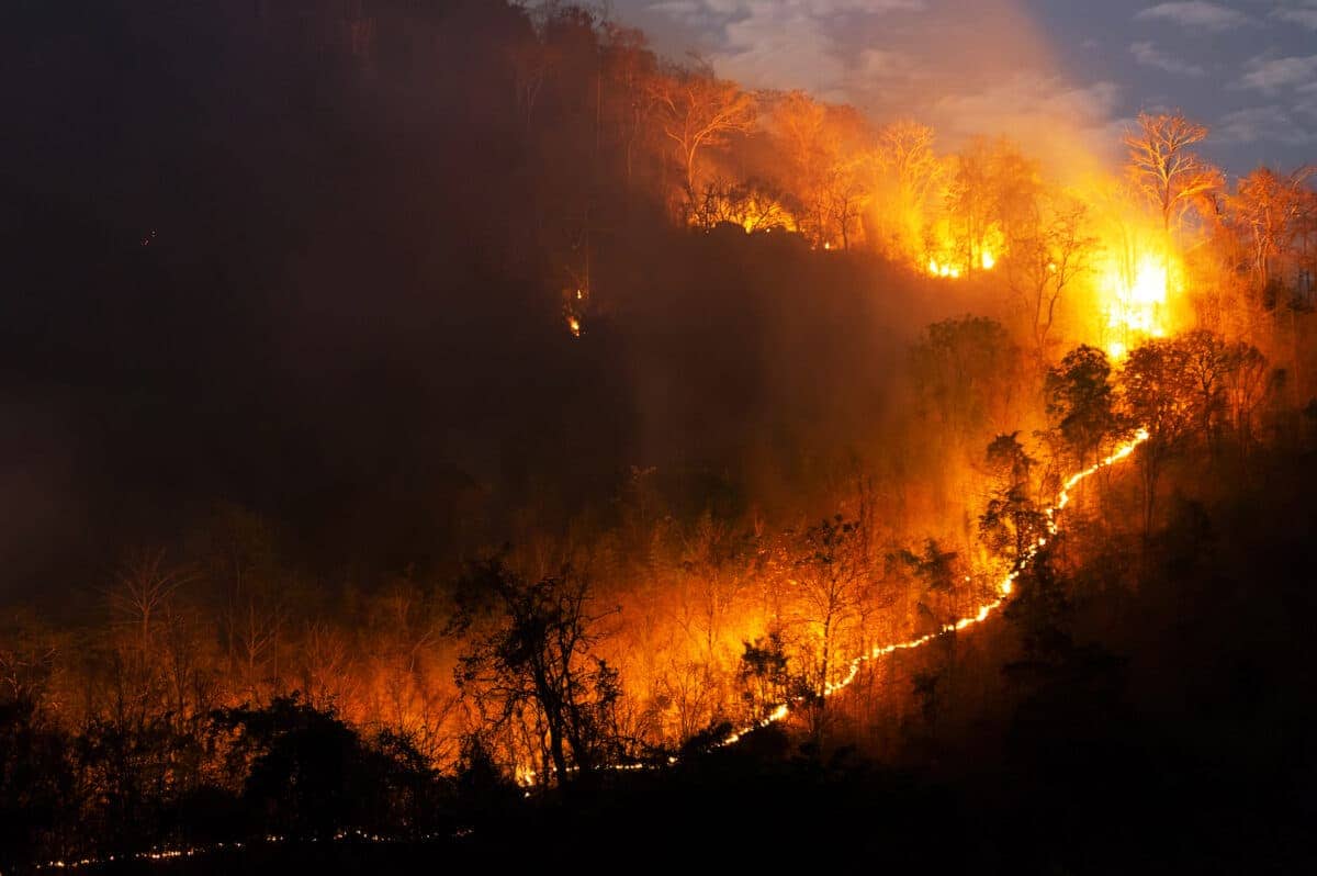
Wildfires are one of nature’s most formidable forces, capable of reshaping entire landscapes and ecosystems. In recent years, some wildfires have grown to such monumental sizes that they could be observed from space, a testament to their intensity and the challenges they present to firefighting efforts. This article explores ten of these colossal blazes, offering insights into their impact on the environment and human lives.
The Role of Satellites in Monitoring Wildfires

Before diving into specific wildfires, it’s important to understand how satellites play a pivotal role in wildfire management. Satellites equipped with infrared sensors can detect the heat signatures of fires, providing real-time data that is crucial for directing firefighting efforts. This technology enables tracking of the fire’s growth and direction, greatly enhancing the capacity to mitigate damage and deploy resources efficiently.
The Black Saturday Bushfires, Australia, 2009

The Black Saturday bushfires rank among Australia’s most devastating wildfires, burning approximately 450,000 hectares and causing significant loss of life and property. These fires were so extensive that satellite images provided critical insights into their spread and intensity, helping emergency services coordinate their response. Extreme weather conditions, such as high temperatures and intense winds, contributed to the rapid spread of these fires.
2018 California Camp Fire

The Camp Fire in California was one of the deadliest and most destructive wildfires in the state’s history. It decimated the town of Paradise, resulting in significant casualties and the destruction of more than 18,000 buildings. The fire’s plumes were captured by satellites, revealing its immense scale and helping authorities assess the damage promptly. Persistent drought conditions and strong winds made this disaster challenging to control.
2019-2020 Australian Black Summer Fires
During the 2019-2020 season, vast areas of Australia faced unprecedented wildfires, known as the “Black Summer” fires. Satellites provided crucial imagery showing the extent of the flames that consumed over 18 million hectares. This season was particularly severe due to a combination of extreme heat, prolonged drought, and strong winds, which fueled the firestorms across the continent.
Siberia Wildfires, Russia, 2020

In 2020, Siberia experienced widespread wildfires, with smoke plumes visible from space stretching across the vast Russian landscape. These fires scorched over 19 million hectares, intensified by permafrost thawing and unseasonably warm temperatures. Satellite images drew global attention to this remote but significant environmental issue, underscoring the global impacts of climate change.
2017 British Columbia Wildfires, Canada
The 2017 British Columbia wildfires marked one of the most severe fire seasons in Canadian history, burning over 1.2 million hectares. Satellite images were pivotal in understanding the extent and progression of these fires, facilitating a coordinated response. Drought and lightning strikes were among the key factors that contributed to the unprecedented scale of these wildfires.
Amazon Rainforest Fires, South America, 2019

The Amazon rainforest, known as the “lungs of the Earth,” saw extensive fires in 2019, with smoke visible even from space. These fires, often ignited for deforestation and agricultural expansion, threatened biodiversity and global carbon balance. Satellite data was instrumental in raising international awareness and driving global discussions on rainforest conservation.
2014 Northwest Territories Fires, Canada

The Northwest Territories of Canada witnessed extensive fires in 2014, impacting large swaths of boreal forests. Satellite images showcased the immense spread and devastation caused by these fires, which burned over 3.4 million hectares. Climate conditions, including dry weather and forest density, played a significant role in the intensity of these wildfires.
2015 Indonesian Forest Fires

Indonesia faced catastrophic forest fires in 2015, primarily due to slash-and-burn practices used to clear land for agriculture. The resultant haze affected air quality across Southeast Asia and garnered global attention. Satellite monitoring was key in mapping the fire’s reach and understanding its transboundary environmental effects.
2016 Fort McMurray Fire, Canada

The Fort McMurray fire in Alberta, Canada, was one of the costliest in terms of billable damages, forcing the evacuation of approximately 88,000 residents. Satellite images provided a comprehensive view of the fire’s widespread impact, which burned nearly 590,000 hectares. This fire highlighted the risks posed by climate variability and human settlement near forested areas.
Chilean Wildfires, 2017

Chile faced the worst wildfires in its history in 2017, with flames scorching over 500,000 hectares across central and southern regions. The intensity of these fires was such that they were visible from space, emphasizing the challenges posed by rising temperatures and prolonged drought conditions.
Effective Strategies for Future Wildfire Management
Addressing the challenges posed by wildfires requires comprehensive strategies that encompass prevention, real-time monitoring, and efficient response mechanisms. Enhancing satellite technology and fostering international collaboration are crucial steps toward mitigating the impact of future wildfires. Promoting sustainable land management practices and raising public awareness about environmental stewardship can also play pivotal roles in reducing wildfire occurrences.
Conclusion:

In conclusion, the monumental wildfires observed from space serve as a stark reminder of the evolving challenges posed by climate change and human activities. Leveraging advanced technologies and adopting a proactive approach can mitigate the impacts of these natural disasters, safeguarding human lives and the environment.
As a little kid, I fell in love with nature, wildlife, and animals. Living in the USA, South Africa, Italy, China and Germany gave me the opportunity to discover the world's Wildlife. My favorite animals are Mountain Gorillas, Siberian Tigers, and Great White Sharks.
I'm a certified PADI Open Water Diver, went to Everest Base Camp and Trekked Gorillas in Uganda. I hold a Master of Science in Economics and Finance.
Please send any feedback to feedback@animalsaroundtheglobe.com
- How to Choose the Right Pet for Your Lifestyle - July 30, 2026
- 10 Ways Komodo Dragons Ambush Prey And 4 That Do Not Work - July 30, 2026
- 12 Sea Animals Believed to Bring Luck or Doom - July 29, 2026