

Amidst the diverse and vast landscape of the United States lies a series of geological hotspots that harbor potential future disasters. These locations, while beautiful and awe-inspiring, are pregnant with the possibility of natural disruptions. From the roaring coasts to the serene desert plains, these areas command respect and vigilance for the natural forces they conceal. Understanding the history, nature, and risks associated with these geological settings can be crucial for disaster preparedness and mitigation. Here’s a detailed exploration of 12 U.S. geological hotspots where future disasters may unfold.
The Mighty Yellowstone Caldera

The Yellowstone Caldera, nestled in the heart of Yellowstone National Park, is an active volcanic system capable of super-eruptions. Spanning over 30 miles, this caldera is fueled by a massive magma chamber beneath the surface. While its beauty attracts millions, scientists monitor Yellowstone’s geothermal activity closely due to its potential for significant eruptions, earthquakes, and hydrothermal explosions. The caldera’s history of seismic activity and geothermal features, such as geysers and hot springs, remind us of its volatile nature.
San Andreas Fault: The Tectonic Titan
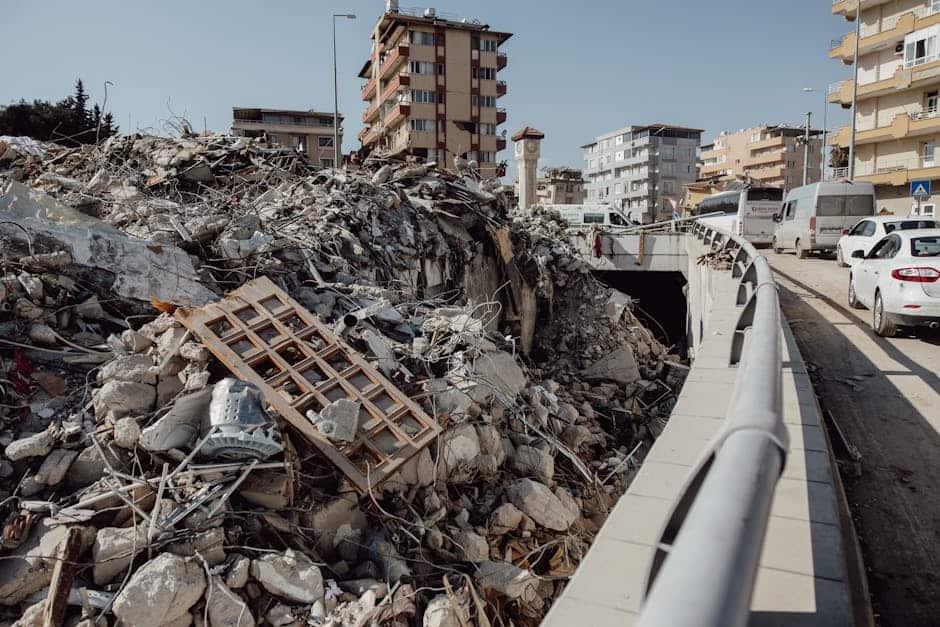
Stretching roughly 800 miles through California, the San Andreas Fault is a notorious transform fault that forms the boundary between the Pacific Plate and the North American Plate. This fault has been the origin of several significant earthquakes, with the potential for ‘The Big One’ posing a constant threat to the densely populated areas like Los Angeles and San Francisco. Awareness and structural preparedness are crucial in mitigating earthquake damage from this tectonic titan.
Cascadia Subduction Zone
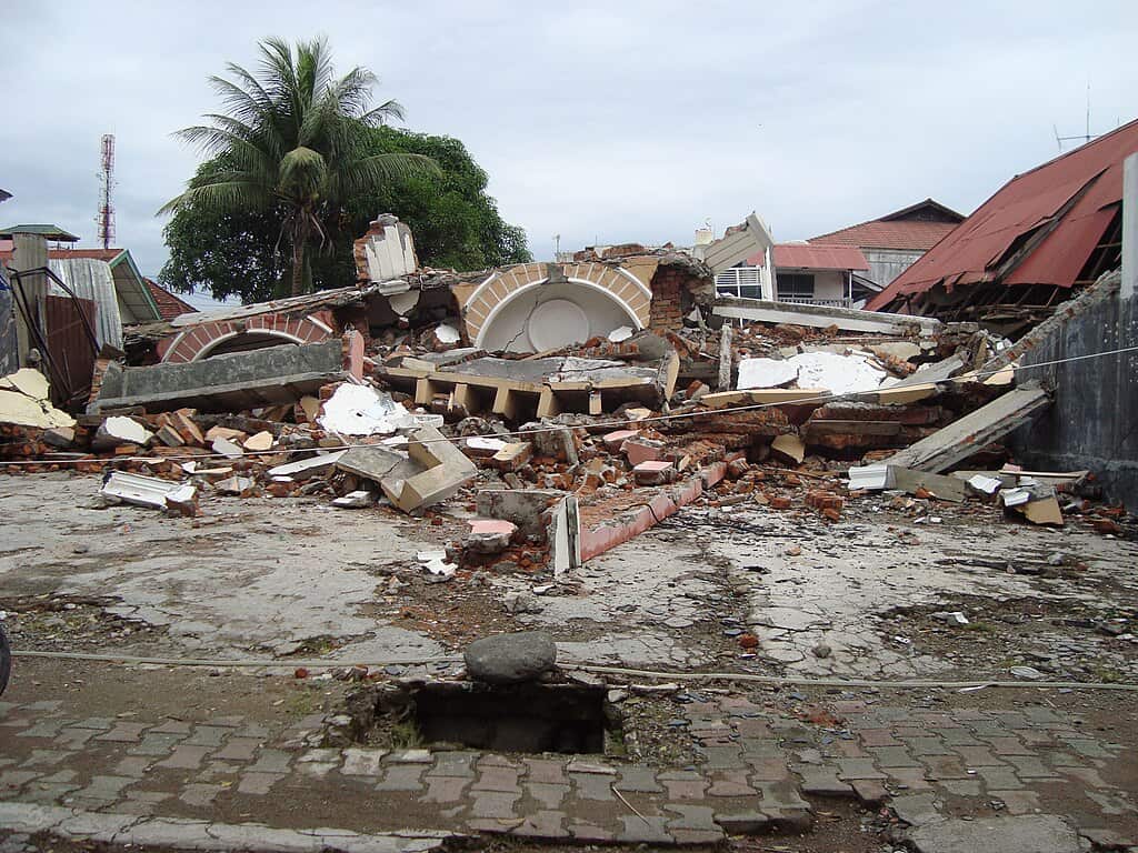
Located off the Pacific Northwest coast, the Cascadia Subduction Zone is where the Juan de Fuca Plate is subducting beneath the North American Plate. This geologically complex zone is capable of producing megathrust earthquakes and tsunamis, reminiscent of the disaster in Japan in 2011. The threat of this silent yet formidable force requires robust preparedness and widespread public awareness to minimize potential casualties and damage.
The New Madrid Seismic Zone

In the central United States, the New Madrid Seismic Zone is a less conspicuous but dangerously active seismic zone. It stretches across southeastern Missouri, northeastern Arkansas, western Tennessee, and northwestern Mississippi. Historically, this area experienced some of the most powerful earthquakes in the contiguous United States in the early 19th century. Although quiet since, the potential for damaging earthquakes still lurks beneath this Mississippi Valley region.
The Aleutian Islands An Arc of Volcanism

The Aleutian Islands, a chain of volcanic islands in Alaska, form part of the Pacific Ring of Fire. Characterized by frequent volcanic and seismic activity, these islands represent both a stark and stunning landscape. Volcanic eruptions pose risks to air travel, as volcanic ash can damage aircraft engines. Monitoring and early warning systems are vital for communities and industries relying on air transportation across this volatile region.
The Hawaiian Islands and Kilauea
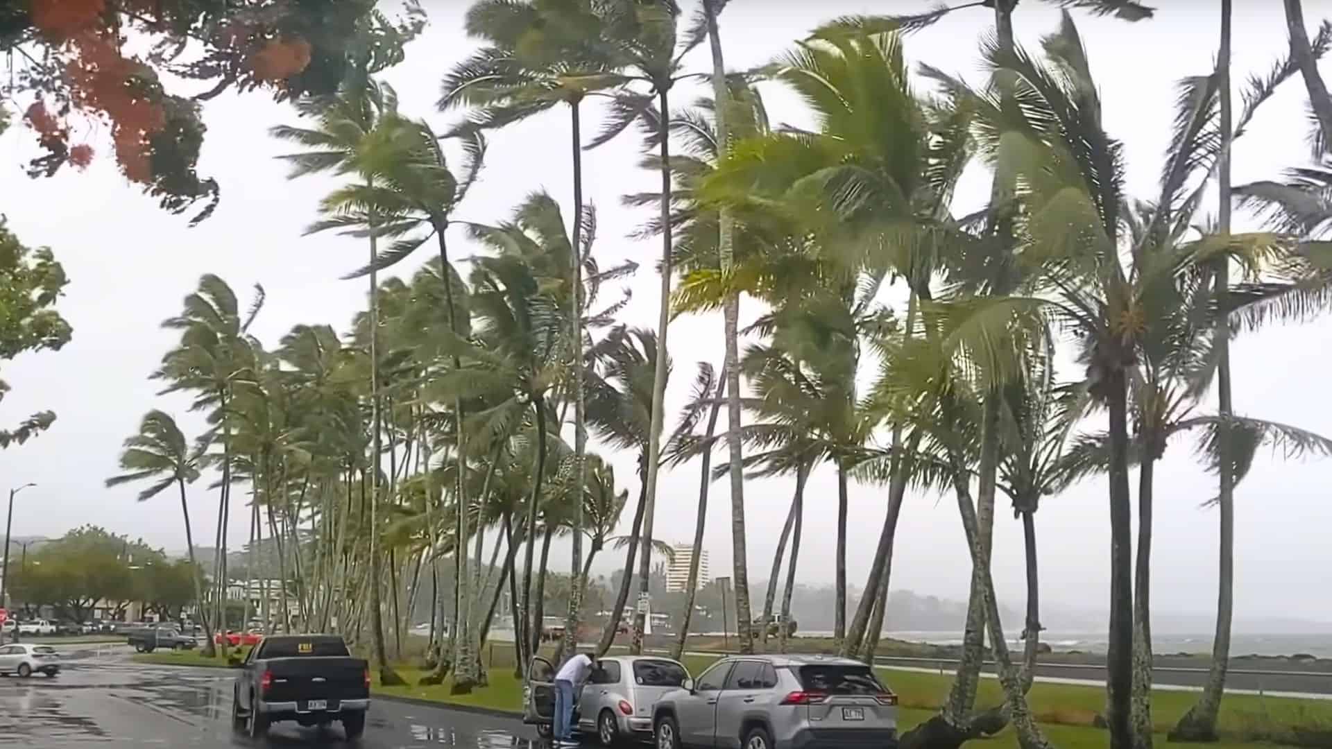
The Hawaiian Islands owe their existence to a geological hotspot, with Kilauea being one of the world’s most active volcanoes. Situated on the Big Island, this shield volcano has a long history of eruptions, with lava flows threatening local communities over the years. Apart from its striking beauty, Kilauea commands respect for its volcanic activity, which is continuously monitored to protect residents and tourists alike.
Mount St. Helens and the Cascade Volcanoes

Mount St. Helens, part of the Cascade Range, vividly demonstrated its power in 1980 when it erupted catastrophically. Known for explosive activity due to its andesitic composition, Mount St. Helens is just one of several major volcanic threats in the Cascades. Understanding and preparing for potential eruptions is a priority for those living in the shadow of these formidable mountains.
The Gulf of Mexico’s Hurricane Alley
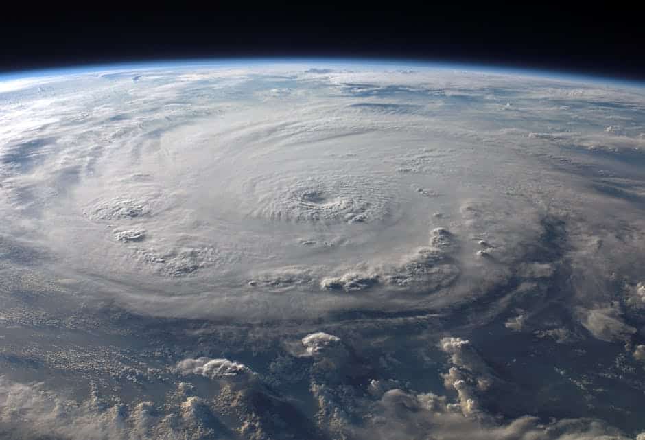
The Gulf of Mexico is historically prone to hurricanes, with warm waters fueling these powerful storms. Coastal areas, particularly in Texas, Louisiana, and Florida, face annual threats during hurricane season. Hurricanes such as Katrina and Harvey underscore the need for hurricane-resistant infrastructure and comprehensive emergency management plans for communities in this region.
The Eastern Seaboard’s Tsunami Risk

Though less frequent than in the Pacific, the eastern seaboard is not immune to the threat of tsunamis. Potential tsunamigenic sources include underwater landslides and distant seismic events, potentially impacting major cities along the coast. Preparedness plans and public awareness are essential components to address this underappreciated hazard.
The Tornado Alley of the Great Plains
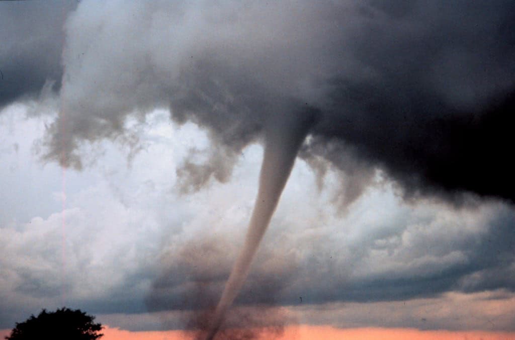
The central United States, known as Tornado Alley, experiences the highest frequency of tornadoes globally. States like Oklahoma, Kansas, and Texas face enhanced risks due to favorable meteorological conditions. These spiraling storms can cause devastating damage, highlighting the importance of building resilient communities and promoting accurate forecasting and public safety protocols.
The Wasatch Range Seismic Zone
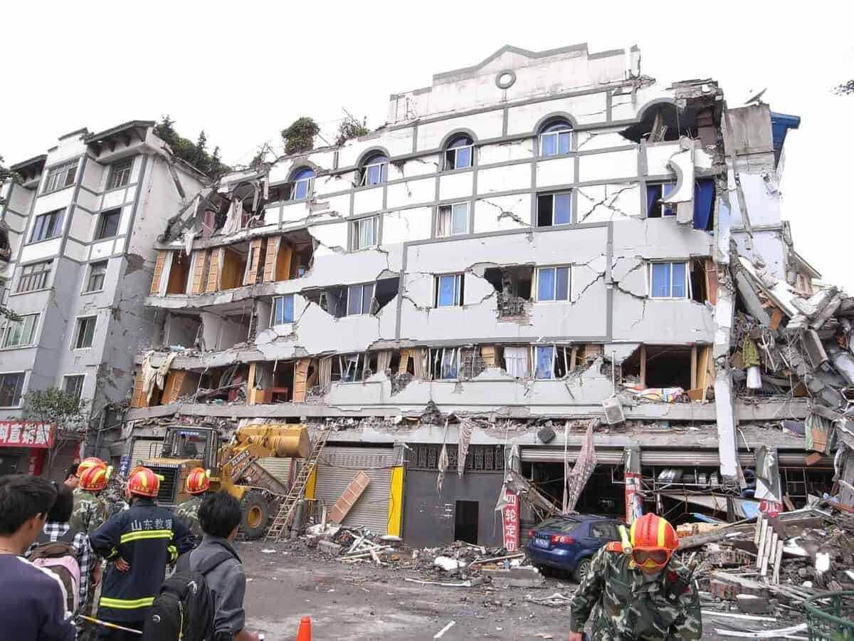
The Wasatch Range in Utah marks a significant seismic boundary where the North American Plate is stretching. This region can produce large earthquakes, posing risks to the Salt Lake City metropolitan area and its surrounding communities. The geological features of the Wasatch Front require residents to adopt seismic safety measures and ensure proper land-use planning to mitigate earthquake impacts.
The Snake River Plain Volcanic Province

Spanning southern Idaho, the Snake River Plain is characterized by its history of volcanic activity, forming unique volcanic features like calderas and lava fields. While dormant now, understanding the region’s volcanic past is key to assessing future hazards that may arise. Continuing geological research and monitoring efforts are crucial for anticipating any signs of renewed volcanic activity.
Conclusion:
The U.S. is a land as perilous as it is picturesque, with geological hotspots that blend natural beauty with latent risks. By understanding and respecting the forces at play within these hotspots, individuals and communities can better prepare for potential disasters, minimizing their impacts. Preparedness, education, and adaptive strategies will be essential in safeguarding lives and infrastructure as these geological wonders continue to shape the American landscape.

As a little kid, I fell in love with nature, wildlife, and animals. Living in the USA, South Africa, Italy, China and Germany gave me the opportunity to discover the world's Wildlife. My favorite animals are Mountain Gorillas, Siberian Tigers, and Great White Sharks.
I'm a certified PADI Open Water Diver, went to Everest Base Camp and Trekked Gorillas in Uganda. I hold a Master of Science in Economics and Finance.
Please send any feedback to feedback@animalsaroundtheglobe.com
- 13 Cat Breeds That Get Along with Dogs - July 20, 2026
- The 12 Largest Dog Breeds That Still Love to Cuddle - July 20, 2026
- 12 Pet Habits That Secretly Mean They Love You - July 20, 2026