Forecast Signals Record-Breaking Chill (Image Credits: Flickr)
New York City – A ferocious arctic front has descended upon the metropolis, triggering an extreme cold warning that promises subzero wind chills and hazardous conditions through early Sunday.
Forecast Signals Record-Breaking Chill
Temperatures plunged into the single digits overnight Saturday, with highs struggling to reach the upper teens on Sunday.[1][2] Winds whipped at 20 to 30 miles per hour Saturday, with gusts topping 50 miles per hour, fueling wind chills as low as 20 to 30 degrees below zero.[1][3]
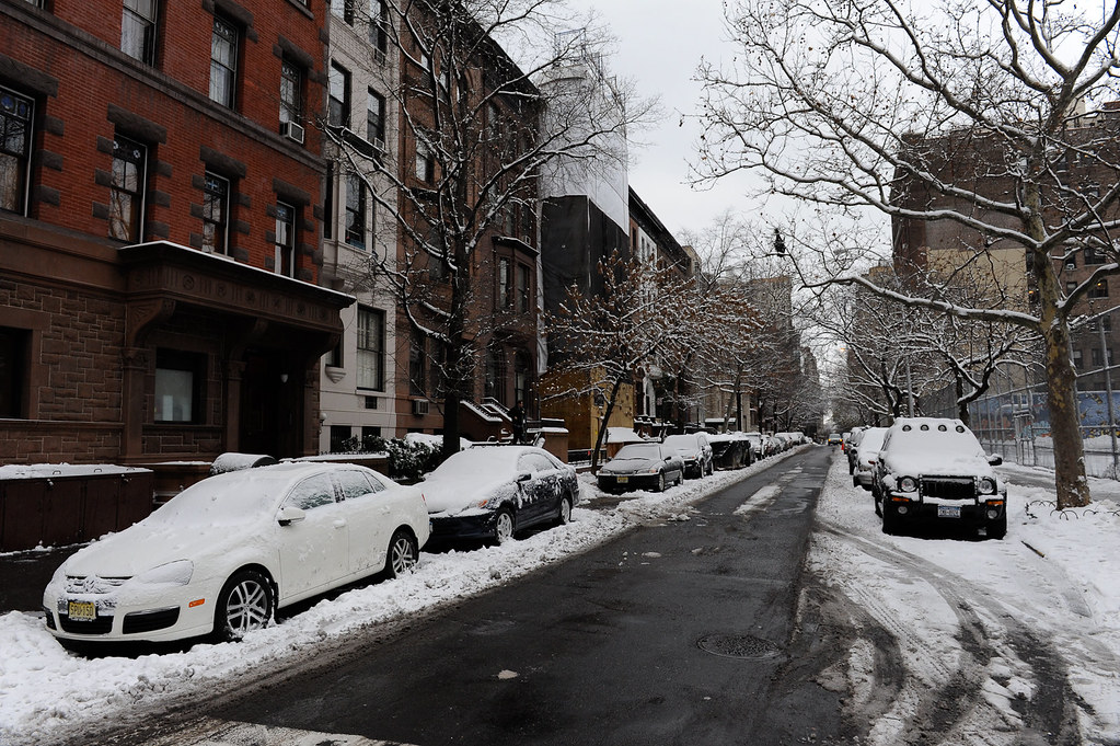
Light snow dusted the city Friday night into Saturday morning, leaving accumulations of a half-inch to one inch in most areas, though eastern Queens and Long Island saw heavier totals up to four to seven inches.[1][3] Blowing snow compounded travel woes amid lingering piles from a prior major storm. Sunday offered mostly sunny skies but little respite, as morning lows dipped near zero with persistent brisk winds.[2]
| Day | High/Low (°F) | Wind Chill | Conditions |
|---|---|---|---|
| Saturday | 20 / 5 | As low as -20 | Windy, light snow early |
| Sunday | 17-19 / 2-10 | Near -11 to -30 | Sunny, breezy |
Dangerous Health Risks Emerge
Frostbite threatens exposed skin in as little as five minutes under these conditions, while hypothermia looms for anyone prolonging outdoor exposure.[1] The National Weather Service highlighted risks across the tri-state area, where wind chills could match or exceed prior seasonal lows. Strong gusts elevated fall hazards on icy sidewalks still coated from recent snowfalls.[4]
Officials noted this snap’s intensity, 15 to 25 degrees below early February norms, potentially shattering daily records for February 7 and 8. Vulnerable groups, including older adults and those experiencing homelessness, faced heightened perils amid the unrelenting freeze.
Critical Safety Measures for Residents
City leaders urged limiting time outdoors and dressing in multiple layers, covering all skin, and wearing sturdy boots. Space heaters demanded vigilant use, with smoke and carbon monoxide detectors checked routinely to prevent indoor hazards.[1]
Vehicle owners prepared emergency kits stocked with blankets, food, water, and shovels. Neighbors coordinated snow clearing, prioritizing fire hydrants and walkways to mitigate slips.
- Stay indoors during peak cold hours; venture out only when necessary.
- Monitor for hypothermia signs like shivering or confusion and seek immediate medical help.
- Report building heat failures to landlords or 311, as laws mandate minimum indoor temperatures.
- Sign up for Notify NYC alerts and locate nearest warming centers via 311 or on.nyc.gov/warmingcenters.
- Avoid downed lines and use generators outdoors only.
City Mobilizes Robust Response
The Emergency Operations Center activated, boosting staffing for utilities and infrastructure oversight. Snow-fighting fleets, including 700 salt spreaders, operated on 12-hour shifts, supplemented by plows and innovative snow-melting efforts.[1][4]
Outreach teams expanded services for at-risk populations, directing them to shelters and drop-in centers. Warming buses patrolled all boroughs, ensuring access amid the crisis.
Key Takeaways
- Extreme Cold Warning persists until 1 p.m. Sunday, with wind chills below -20°F.
- Frostbite risk surges; cover skin and limit exposure.
- Warming centers and 311 offer vital support – stay connected.
This brutal cold underscores winter’s ferocity in the Northeast, testing resilience across the five boroughs. As conditions ease post-Sunday, vigilance ensures safety endures. How are you preparing for the freeze? Tell us in the comments.
- Urban Coyotes Show Remarkable Adaptability, Learning to Thrive in City Environments - July 22, 2026
- Beavers Are Nature’s Engineers, Creating Vital Habitats for Other Wildlife Species - July 21, 2026
- The Recovery of the California Condor Offers Hope for Other Critically Endangered Birds - July 21, 2026