Wind Chills Hit Dangerous Lows in New England (Image Credits: Unsplash)
The Northeast — Forecasters announced relief from a prolonged arctic onslaught as temperatures prepare to climb significantly across the region this week.
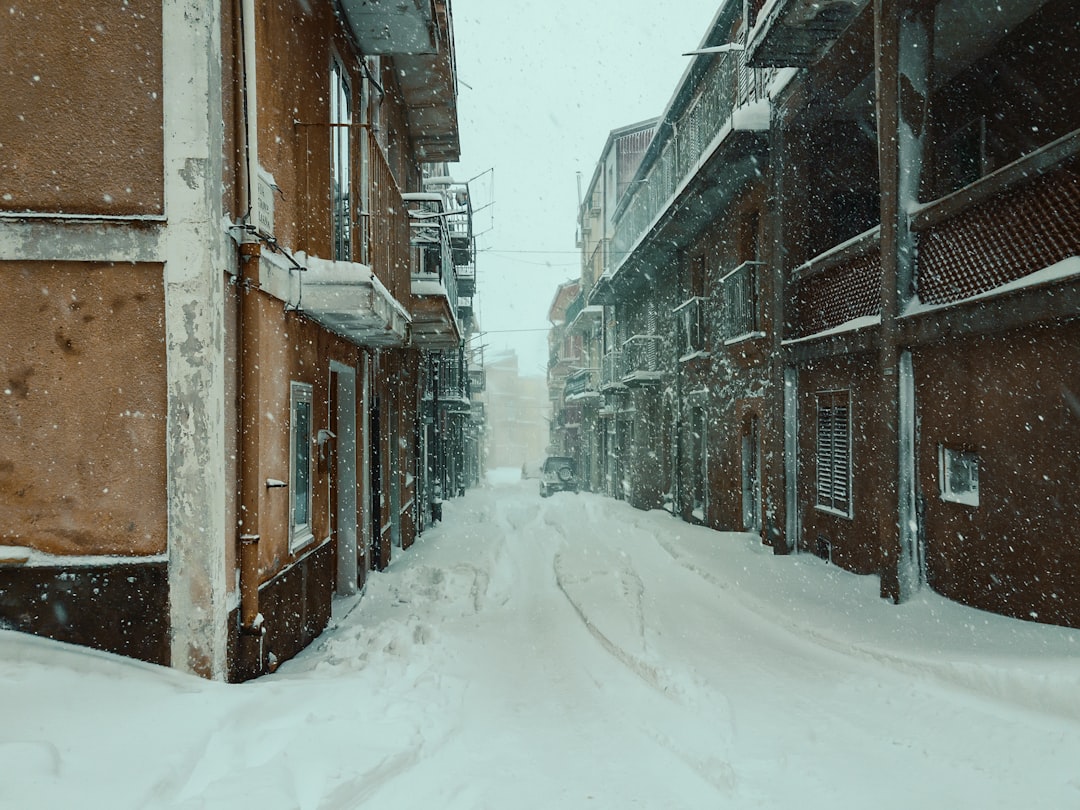
Wind Chills Hit Dangerous Lows in New England
Strong gusts reaching 50 miles per hour battered parts of New England on Saturday, driving wind chill values down to minus 30 degrees.[1]
These conditions persisted into Sunday, marking some of the coldest readings of the season. Watertown, New York, logged a low of minus 34 degrees, the nation’s coldest that day. DuBois, Pennsylvania, shattered its Saturday record with minus 3 degrees, while New York City’s Kennedy Airport hit 6 degrees, eclipsing the prior mark from 1993.[1]
The brutal combination of low temperatures and fierce winds created life-threatening exposure risks throughout the interior Northeast.
Deadly Toll Mounts Amid Icy Conditions
More than a dozen people perished from exposure in New York City alone during the cold wave, which gripped the Eastern United States since mid-January.[1][2]
Grimy snow and ice blanketed streets, and ice floes choked the Hudson River. Across the broader cold wave, at least 22 deaths linked directly to the weather occurred from Canada to Central America.[2]
Officials opened warming centers and urged vulnerable residents to seek shelter. Power outages and crop damage compounded the hardships in affected areas.
Forecast Signals Rapid Warming Trend
Temperatures rose by about 10 degrees on Monday, with another similar jump expected Tuesday. Highs reached the upper 20s in New York City and Philadelphia, while Richmond, Virginia, and Washington saw the 30s.[1]
Wind chills, which remained below zero in spots early Monday, began easing by midday. David Roth, a meteorologist at the Weather Prediction Center, described the shift: “Compared to how we’ve been, it’s going to be delightful on Tuesday and Wednesday.”[1]
- Monday: Highs 10 degrees above recent norms, winds subsiding.
- Tuesday: Further warmup, Great Lakes regions above freezing.
- Wednesday: Peak mildness, potentially the warmest day in weeks for the Northeast.
- Early next week: Possible cooldown, especially southward.
Roth added, “That’s the end of the worst of it,” though he cautioned that cooler air might return soon.[1]
Broader Context of the Polar Vortex Surge
This cold episode stemmed from a disrupted polar vortex, which funneled arctic air southward starting January 17. Records tumbled nationwide, including minus 42 degrees in northern Minnesota and near-total freeze on Lake Erie.[2]
Even southern reaches felt the chill, with Mexico’s Quintana Roo posting rare lows and Cuba setting a national record of 1 degree Celsius. The event caused an estimated $4 billion in damages.
Key Takeaways:
- The Northeast endured wind chills to minus 30s and multiple record lows over the weekend.
- Warmup accelerates today, peaking midweek before a potential dip.
- Over 20 fatalities nationwide highlight the outbreak’s severity.
Residents can finally exhale as the deep freeze yields to milder air, but experts advise monitoring updates for any rebound chill. What are your plans now that warmer days approach? Share in the comments.
- Urban Coyotes Show Remarkable Adaptability, Learning to Thrive in City Environments - July 22, 2026
- Beavers Are Nature’s Engineers, Creating Vital Habitats for Other Wildlife Species - July 21, 2026
- The Recovery of the California Condor Offers Hope for Other Critically Endangered Birds - July 21, 2026