Jet Stream Dynamics Fuel Storm Potential (Image Credits: Pixabay)
A revitalized sub-tropical jet stream is fueling the development of a new storm system that promises to disrupt weekend plans across the Mid-Atlantic.
Jet Stream Dynamics Fuel Storm Potential
The polar jet stream has held sway for weeks, stretching from western Canada deep into the northeastern United States. Now, the sub-tropical jet shows renewed vigor. This shift opens doors for much-needed rain in western states and sparks storm activity over the southern U.S. Mid-week models pinpoint a low-pressure system diving into California first. Rainfall will dot lower elevations there, while snow blankets higher terrain.
That same system then reintensifies over south-central states by weekend’s start. The active sub-tropical jet provides crucial support for this evolution. Forecasters note how these upper-air changes often amplify surface weather impacts.
Storm Tracks Northeast Toward Key Regions
Expect the southern storm to veer northeast later in the weekend, aiming for the Ohio Valley. Strong ridging over Canada’s Hudson Bay region will slow its advance. The surface low stalls there, redirecting energy eastward. By Sunday, potent low pressure could hug the eastern seaboard.
This progression heightens risks for the Mid-Atlantic. Communities from the Ohio Valley to the coast prepare for possible heavy weather. The system’s eastward jog underscores the fluid nature of weekend forecasts.
I-95 Corridor Emerges as Precipitation Flashpoint
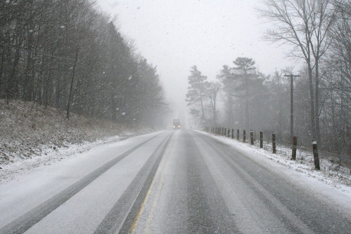
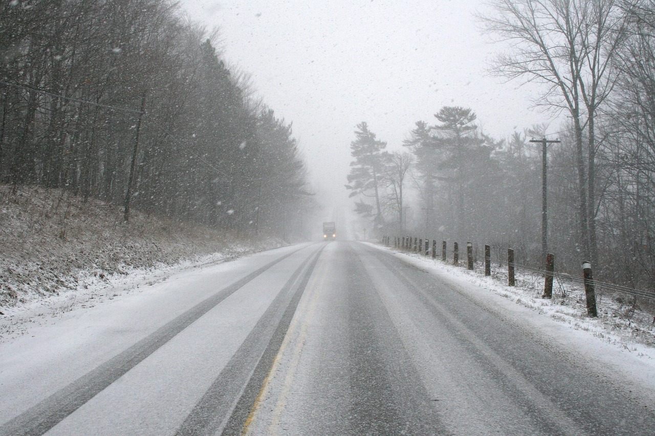
Temperatures along the I-95 corridor hover near critical thresholds by late weekend. This setup creates a classic battle zone for precipitation types. Snow appears likely north and west of the corridor. Rain dominates south and east.
Such marginal conditions demand close vigilance from residents and travelers. Even slight shifts in the storm’s track or timing could tip the scales. Local effects will vary widely over short distances.
- Snow favored in inland and northern areas
- Rain probable along coastal zones
- Mixed precipitation possible in transition zones
- Strong winds accompanying the low pressure
- Potential for travel disruptions
Broader Implications for the Weekend Outlook
Western states stand to gain from early precipitation tied to the initial storm phase. California mountains will see snow accumulation, aiding water supplies. South-central regions brace for the system’s core impacts before it pivots.
The Mid-Atlantic’s role intensifies as the weekend closes. Ridging over Hudson Bay keeps the storm pinned nearby, prolonging threats. Overall, this pattern marks a departure from recent dry spells in parts of the East.
Key Takeaways:
- Sub-tropical jet activation drives storm redevelopment.
- Ohio Valley stall shifts focus to eastern seaboard.
- I-95 temperatures dictate rain versus snow outcomes.
As this storm system unfolds, its exact path remains a focal point for updates. Staying informed proves essential for safe weekend activities. What preparations are you making? Share in the comments below.
- Urban Coyotes Show Remarkable Adaptability, Learning to Thrive in City Environments - July 22, 2026
- Beavers Are Nature’s Engineers, Creating Vital Habitats for Other Wildlife Species - July 21, 2026
- The Recovery of the California Condor Offers Hope for Other Critically Endangered Birds - July 21, 2026