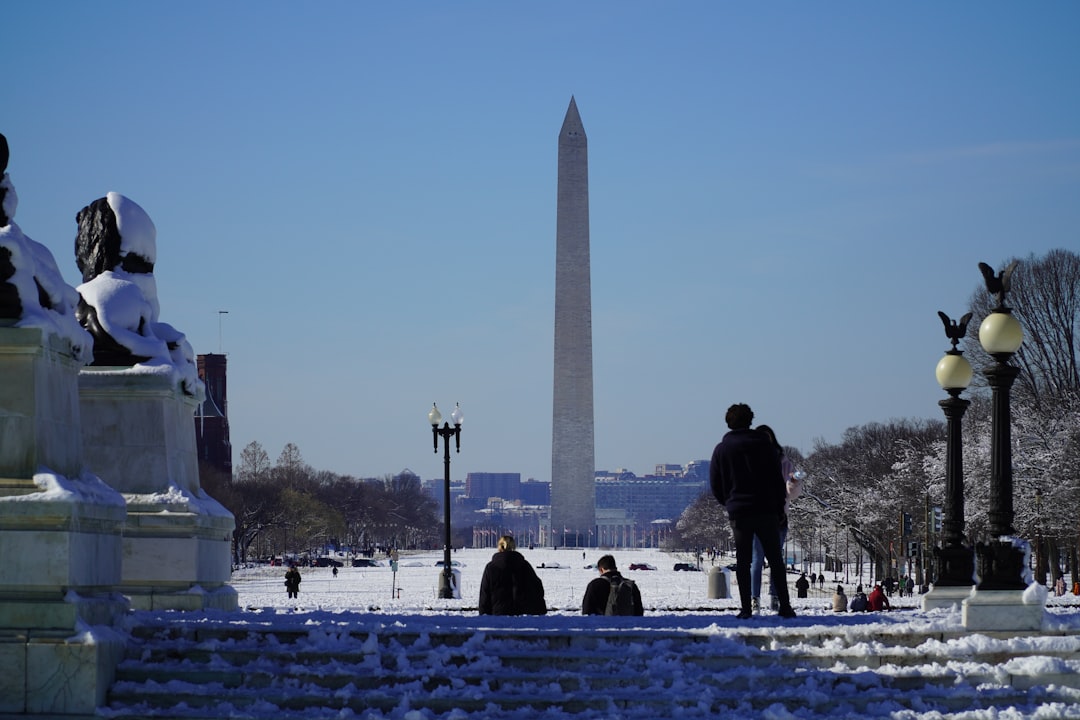
Warm Weather Yields to Sudden Chill (Image Credits: Unsplash)
Washington, D.C. – Residents enjoyed a taste of spring this week, but a powerful cold front is delivering a stark reminder that winter lingers in the nation’s capital region.[1][2]
Warm Weather Yields to Sudden Chill
The D.C. metro area basked in record-breaking highs earlier this week, with temperatures soaring into the 60s and even higher in spots. That balmy stretch ended abruptly as a cold front barreled through Thursday morning. Meteorologists noted the shift flipped conditions from mild to brisk within hours.[1]
Overnight lows dipped below freezing across much of the region, setting the stage for potential refreezing on untreated surfaces. Daytime highs struggled to reach the 40s before plummeting further by evening. Strong northwest winds exacerbated the drop, gusting over 30 mph in many locations.[2]
Rain-Snow Mix Disrupts Thursday
Periods of rain greeted morning commuters, but colder air surging in behind the front raised the possibility of a wintry mix by afternoon. Wet snowflakes could briefly mix with or replace the rain, particularly north and west of the city. Accumulations remained minimal, with less than a half-inch expected in most areas.[3]
Travel conditions posed the main concern, as falling temperatures created slick spots on roads and bridges. Officials urged drivers to slow down and allow extra time. The transition from rain to possible snow highlighted the front’s intensity, catching some off guard after the recent warmth.[4]
Weekend Outlook Brings More Cold
Friday promises continued chilly and windy weather, with highs in the upper 30s to low 40s under mostly sunny skies. Overnight lows will hover in the 20s, marking one of the coldest nights in recent weeks. The pattern holds into the weekend, keeping the region below seasonal norms.[2]
Saturday may see a slight rebound, but another round of gusty winds will keep it feeling raw. No major storms loom immediately, though longer-range models hint at variable conditions next week.
- Temperatures: 60s early week to 40s Thursday, 30s Friday.
- Precipitation: Rain Thursday morning, light snow possible afternoon.
- Winds: Northwest 10-20 mph, gusts to 30+ mph.
- Impacts: Black ice risk overnight, minor travel disruptions.
- Extended: Cold through weekend, potential warmup early next week.
Preparation Tips for the Shift
With the quick change, locals should bundle up and check vehicles for winter readiness. Sidewalks and driveways may ice over as puddles refreeze. Public transit could face delays from wet conditions.
| Day | High/Low (°F) | Conditions |
|---|---|---|
| Thursday | 40s / 20s-30s | Rain to snow mix, windy |
| Friday | Upper 30s-40s / 20s | Sunny, cold, gusty |
| Saturday | Low 40s / 20s | Partly cloudy, breezy |
Key Takeaways
- Cold front triggers 20-30 degree plunge Thursday.
- Light snow unlikely to accumulate significantly.
- Wind chill makes it feel much colder; dress in layers.
As the D.C. region navigates this weather whiplash, staying informed proves essential to safe travels and comfort. The reminder that March can still bite underscores the unpredictability of early spring. What are your plans to handle the chill? Share in the comments below.
- Urban Coyotes Show Remarkable Adaptability, Learning to Thrive in City Environments - July 22, 2026
- Beavers Are Nature’s Engineers, Creating Vital Habitats for Other Wildlife Species - July 21, 2026
- The Recovery of the California Condor Offers Hope for Other Critically Endangered Birds - July 21, 2026