A River Hidden in Plain Sight
Scientists have discovered a long-buried branch of the Nile River that once flowed alongside more than 30 pyramids in Egypt, potentially solving the mystery of how ancient Egyptians transported the massive stone blocks to build the famous monuments. The discovery wasn’t made with shovels or luck. It came through satellite technology sophisticated enough to look beneath the surface of the earth.
The international team of researchers used radar satellite imagery to map the river branch, which they called Ahramat, meaning “pyramids” in Arabic. Radar gave them the “unique ability to penetrate the sand surface and produce images of hidden features including buried rivers and ancient structures.” That combination of remote sensing and fieldwork revealed something that had been quietly erased by climate over thousands of years.
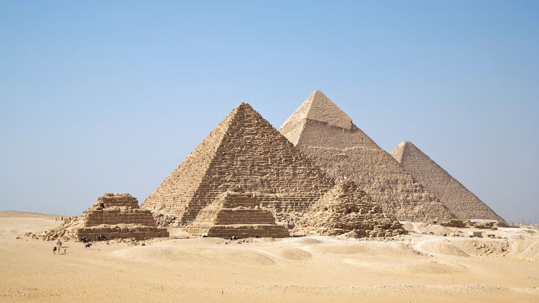
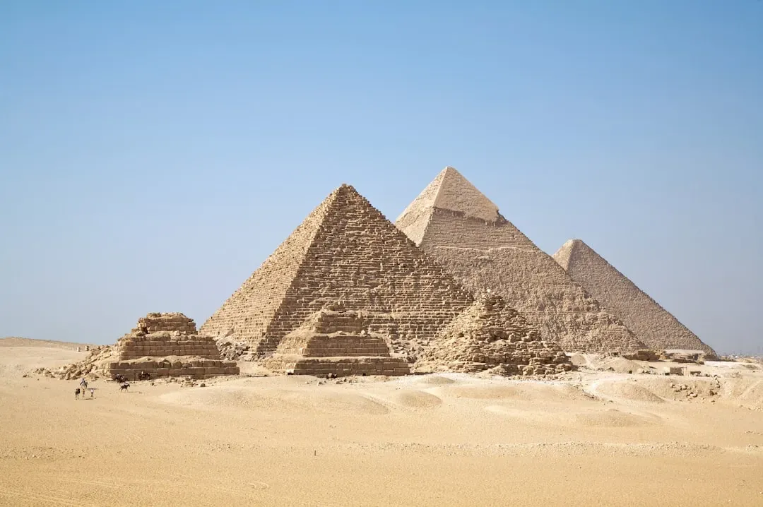
The 64-kilometer-long river branch, which ran by the iconic Giza pyramid complex among other wonders, was hidden under desert and farmland for millennia. Despite centuries of people literally living on top of it, the river had left no visible trace on the surface.
The Scale of the Discovery
The ancient waterway would have been about 0.5 kilometers wide, with a depth of at least 25 meters, similar to the contemporary Nile. That’s not a trickle or a seasonal stream. That’s a full, navigable river running right through what is now arid desert terrain, and it was wide enough to carry significant cargo.
The vast size of the Ahramat branch, revealed during months of geophysical surveys and soil samples at selected spots, surprised the researchers. It was typically more than a quarter of a mile across, and their study suggests it widened at the northern end to form an inlet near Giza. This detail matters, because an inlet near Giza would have functioned almost like a natural dock, a place where barges could arrive, unload, and turn around.
Archaeologists in Egypt identified segments of this 64-kilometer-long extinct branch of the Nile, running at the foothills of the Western Desert Plateau, where the majority of the ancient Egyptian pyramids lie. The geography wasn’t accidental. It was, in retrospect, the whole point.
Why 31 Pyramids Were Built in the Same Strip of Desert
The largest pyramid field in Egypt is clustered along a narrow desert strip, yet no convincing explanation as to why these pyramids are concentrated in this specific locality has been given so far, at least until now. This was the question that the Ahramat discovery finally answers with something concrete.
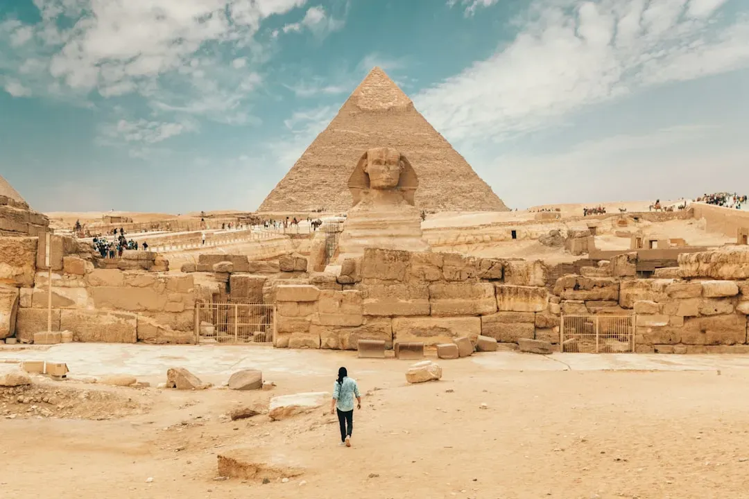
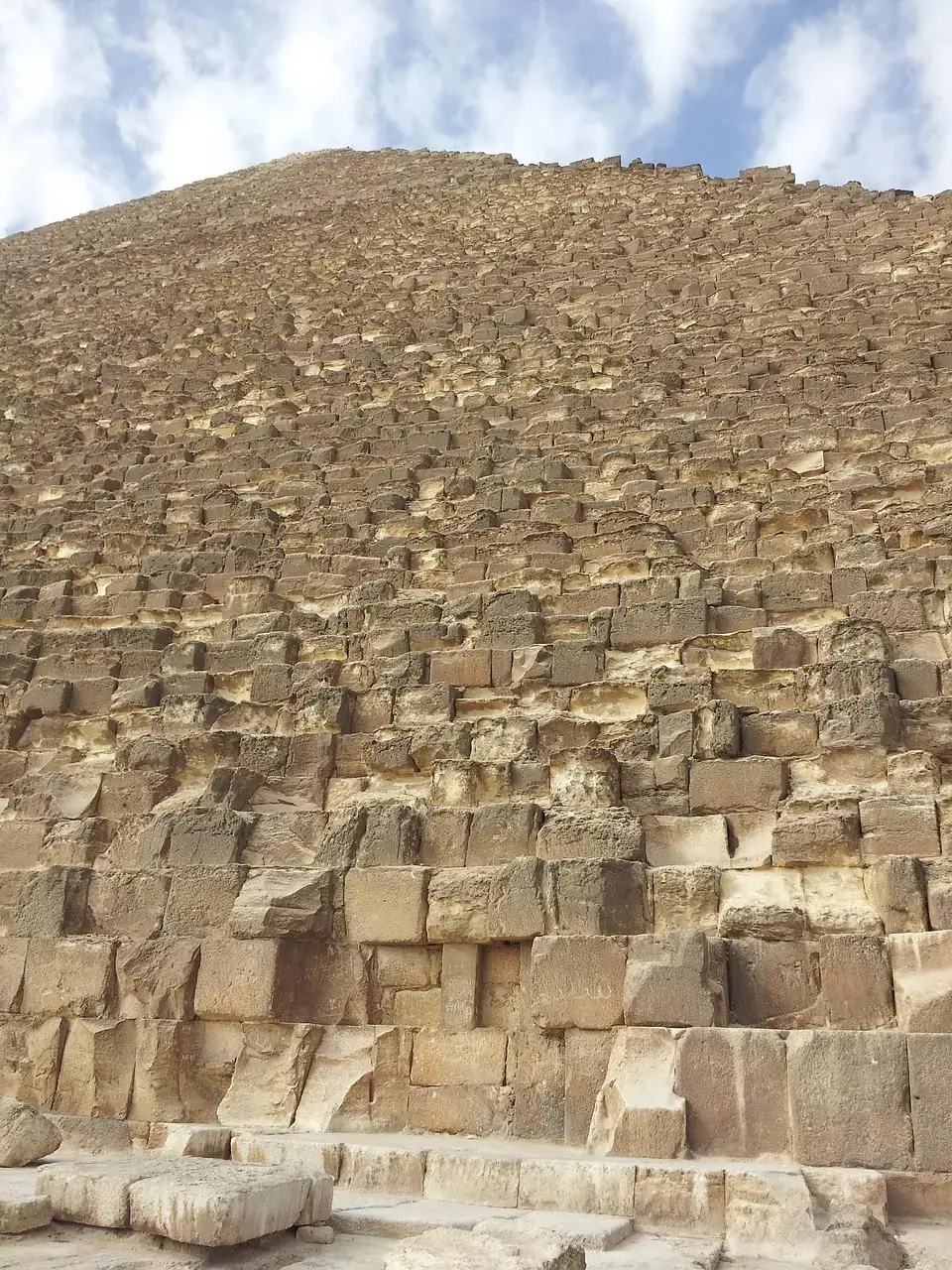
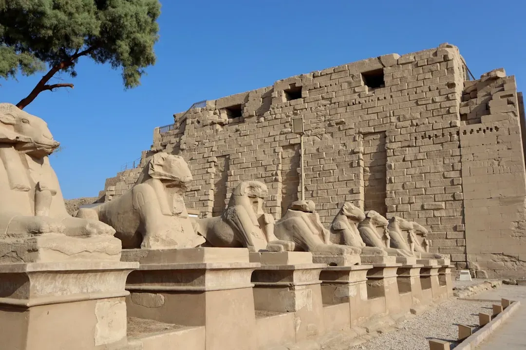
The existence of the river explains why the 31 pyramids were built in a chain along a now inhospitable desert strip in the Nile Valley between 4,700 and 3,700 years ago. The strip near the ancient Egyptian capital of Memphis includes the Great Pyramid of Giza, the only surviving structure of the seven wonders of the ancient world, as well as the Khafre, Cheops and Mykerinos pyramids.
The river may also indicate why the pyramids were built in different spots. The water’s course and its volume changed over time, so fourth dynasty kings had to make different choices than 12th dynasty kings. Different pharaohs, different stretches of accessible riverbank, different pyramid sites. The whole chain begins to make a kind of practical, geographic sense.
How the Stones Actually Got There
The mystery of how ancient Egyptians moved limestone blocks, some weighing over a ton, has puzzled historians for centuries. The new study provides evidence that the Ahramat Branch facilitated the transportation of these massive stone blocks and other materials necessary for pyramid construction. Rather than relying on vast armies of workers dragging stone across sand, the Egyptians appear to have used something far simpler: they floated everything.
These heavy materials, most of which were from the south, “would have been much easier to float down the river” than transport over land. This isn’t a minor logistical footnote. It fundamentally reframes the image of pyramid construction, shifting it from an exhausting overland haul to a river-based supply chain that the Egyptians managed with considerable organizational intelligence.
Ancient texts and reliefs hold telltale clues that canals or basins were a primary instrument in the transport of the stones. The Ahramat branch now offers tangible evidence, giving new life to these historical accounts and showing how natural waterways would have made large-scale construction efforts a great deal easier.
The Causeways Were Always Trying to Tell Us Something
Many of the pyramids, dating to the Old and Middle Kingdoms, have causeways that lead to the branch and terminate with Valley Temples which may have acted as river harbors along it in the past. The researchers suggest that the Ahramat Branch played a role in the monuments’ construction and that it was simultaneously active and used as a transportation waterway for workmen and building materials to the pyramids’ sites.
Besides the pyramid itself, the pyramid complex includes the mortuary temple next to the pyramid, a valley temple farther away from the pyramid on the edge of a waterbody, and a long sloping causeway that connects the two temples. A causeway is a ceremonial raised walkway, which provides access to the pyramid site. These structures weren’t just ceremonial flourishes. They were infrastructure, pointing directly toward a waterway that has only now been confirmed.
The banks of the rivers could have been where the funeral entourages of pharaohs were received before their bodies were moved to their final burial place within the pyramid. So the river served both the living builders and the rituals of the dead, a dual purpose that tells us just how central this waterway was to Egyptian civilization at its height.
How the River Vanished Beneath the Desert
The study suggests that the river branch migrated eastward and eventually silted up around 4,200 years ago, possibly due to increased windblown sand from a major drought, contributing to its relocation. The timing is worth noting. The collapse of the Ahramat branch appears to coincide roughly with the end of the Old Kingdom period, one of ancient Egypt’s great political and cultural declines.
The eastward migration and eventual abandonment of the Ahramat Branch resulted from a combination of tectonic activity, windblown sand incursion, and decreased river discharge due to drought and increased aridity. It wasn’t one thing that killed the river. It was a slow accumulation of environmental pressure playing out over generations. As the Sahara desert expanded, the Ahramat branch was buried under layers of sand and soil, leaving only traces detectable through modern scientific methods.
The results emphasize the significance of the Nile as a vital route and cultural lifeline for ancient Egyptians, while also shedding light on the historical impact of environmental changes on human society. When the river went, it took more than water with it. It took a construction era, a supply chain, and eventually a civilization’s golden age.
What This Means for the Future of Egyptian Archaeology
The discovery of the Ahramat Branch has significant implications for future research and conservation efforts. By mapping this hidden river system, researchers can better understand the environmental history of the Nile floodplain and prioritize locations for fieldwork investigation. In practical terms, this gives archaeologists a new kind of map, not of what was built, but of where the infrastructure that made building possible once ran.
It’s possible that “countless” temples might still be buried beneath the agricultural fields and desert sands along the riverbank of the Ahramat Branch. That’s not speculation for its own sake. Given what was found along the river’s course so far, the idea of undiscovered structures beneath Egypt’s farmland and desert is genuinely plausible. Future research to find more extinct Nile branches could help prioritize archaeological excavations along their banks and protect Egyptian cultural heritage.
This research also serves as a reminder of the vulnerability of human civilizations to climate change. The shifting course of the Nile and its impact on ancient Egyptian society parallels modern concerns about how changing climate patterns might affect our own cities and infrastructure. The echo across four thousand years is hard to ignore.
Conclusion: The Desert Was Never the Beginning of the Story
- 8 Myths About Surviving a Tornado - June 25, 2026
- 11 Incredible Birds That Migrate Thousands of Miles Every Year - June 25, 2026
- 8 Simple Gardening Tips That Work Anywhere - June 25, 2026