

You’ve probably felt it without knowing why. The flights have been rougher. The winter forecasts keep flip-flopping. Somewhere in the news cycle, a typhoon or a hurricane keeps breaking a record nobody was expecting to see broken this soon.
Here’s the part almost nobody is talking about: it’s all coming from the same place. Thousands of miles offshore, the Pacific Ocean just completed one of the fastest and most dramatic climate flips ever recorded – and scientists tracking it say it’s now locked in for the rest of the year. Three super typhoons have already hit before September. Hawaii just took its first direct hurricane strike since 1871. And in one of the stranger twists on this list, a record-warm winter might actually be setting up a brutal Arctic outbreak. Here’s what shifted, and exactly how it reaches your backyard.
#1 – The Pacific Officially Flipped From La Niña to El Niño
🔥 Would you like to save this?
We'll email this post to you, so you can come back to it later!
The headline event of the month is simple but massive: the tropical Pacific has completed its transition. As of mid-August 2026, El Niño has become firmly established, marked by persistent and intensifying warm-water anomalies across the central-eastern equatorial Pacific. That’s not a subtle wobble – it’s a full reversal of the ocean engine that drives global weather.
What makes this month different is the certainty behind it. The latest seasonal forecasts put the odds of El Niño persisting through winter at nearly 100 percent. Most people don’t realize how rare that level of forecast confidence actually is.
Near-zero chance of it fizzling out means every downstream effect on this list is now locked in for months, not weeks. And what forecasters are calling it next is where things get genuinely rare.
#2 – This Isn’t Just El Niño. It’s Shaping Up to Be a “Super” El Niño
🔥 Would you like to save this?
We'll email this post to you, so you can come back to it later!
Insiders are quietly using a term reserved for only a handful of events per century. By the end of the year, this event will likely intensify into a rarely seen “Super El Niño” – a term used when sea surface temperature anomalies in the equatorial Pacific exceed 2°C, dramatically raising the odds of severe global impacts. Only a few of these have occurred since modern record-keeping began.
NOAA’s Climate Prediction Center is echoing the same alarm, putting the odds of a very strong event this fall and winter above 90 percent. Newsweek reported something even more striking: a 69 percent chance the event reaches historic strength between October and December, potentially surpassing every El Niño on record dating back to 1950.
That’s not a normal wobble. That’s a record book rewrite – and the western Pacific is already paying the price for it.
#3 – Typhoon Alley’s Dangerous Upgrade: Three Super Typhoons Already Struck
🔥 Would you like to save this?
We'll email this post to you, so you can come back to it later!
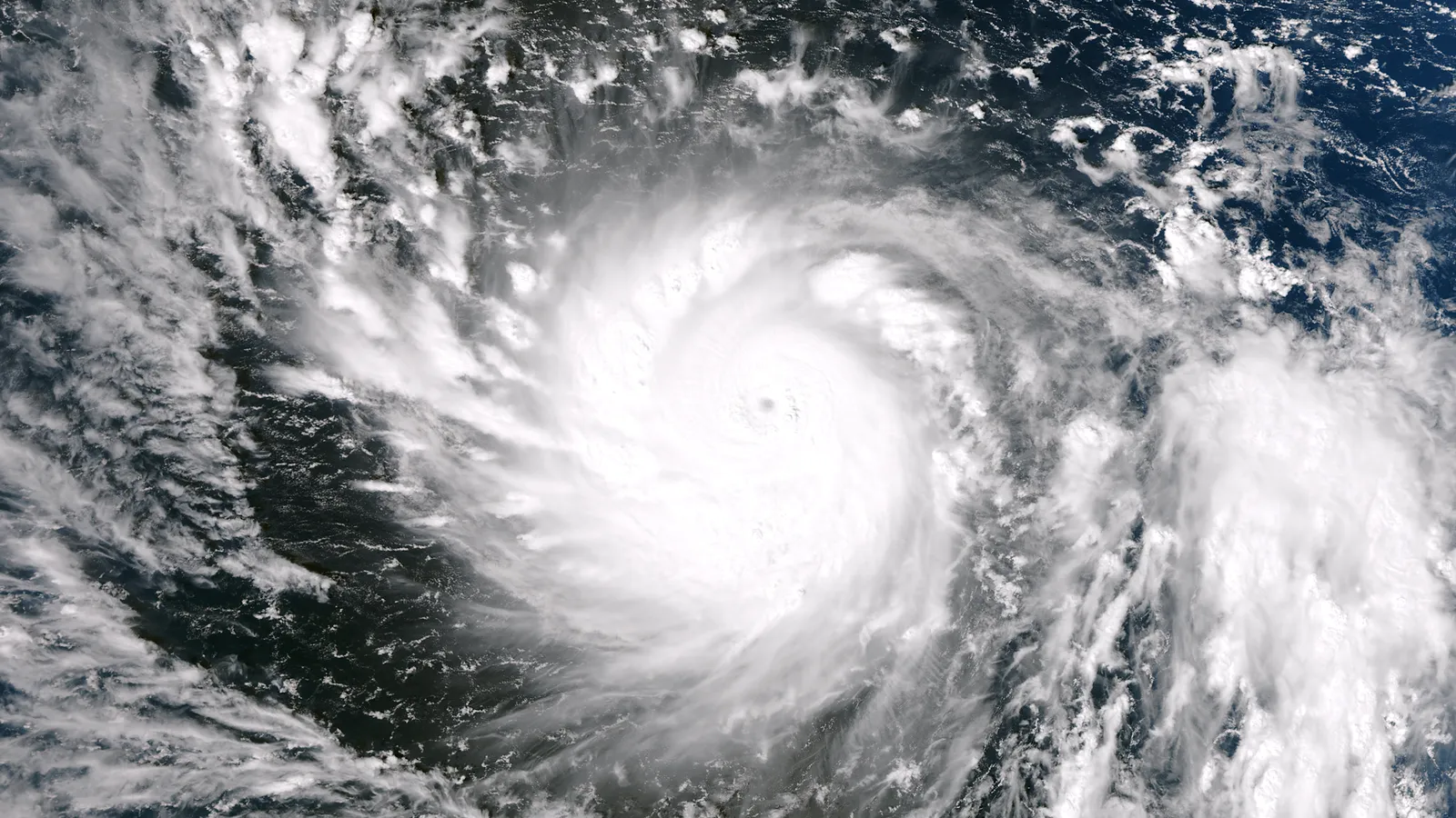
While attention has been fixed on the eastern Pacific, the western side is quietly having one of its most violent stretches in a decade. El Niño tends to push typhoon formation eastward, giving storms more open, warm water to intensify over – and forecasters say 2026 could be the most active typhoon season since 2015. Private forecasters have already revised their numbers upward mid-season: Tropical Storm Risk bumped its outlook roughly 40 percent above the long-term average in July, citing the strong El Niño as the main driver.
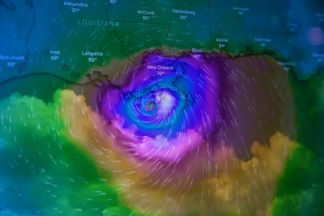
This isn’t a future risk. It’s already happened, and most people missed it. Typhoon Sinlaku became the season’s first super typhoon on April 12, tearing through the Northern Mariana Islands and causing extensive damage on Tinian and Saipan – a first super typhoon that early in the year is unusual. Typhoon Bavi followed as the second super typhoon on July 4, hitting Rota at peak intensity and becoming one of the strongest typhoons ever recorded for the islands.
Quick Compare
- Sinlaku – April 12 – Northern Mariana Islands – season’s first super typhoon
- Bavi – July 4 – Rota – among the strongest ever recorded there
- Dolphin – August 7 – Okinawa, then Zhejiang, China
Then Typhoon Dolphin arrived as the third, striking Okinawa on August 7 before making landfall in China’s Zhejiang province. Three super typhoons before September is a genuinely rare cluster – and insurers already know it, because these are exactly the conditions that make Japan, Greater China and Korea more likely landfall targets.
#4 – A Tropical Storm Just Killed 171 People in Southern China
🔥 Would you like to save this?
We'll email this post to you, so you can come back to it later!
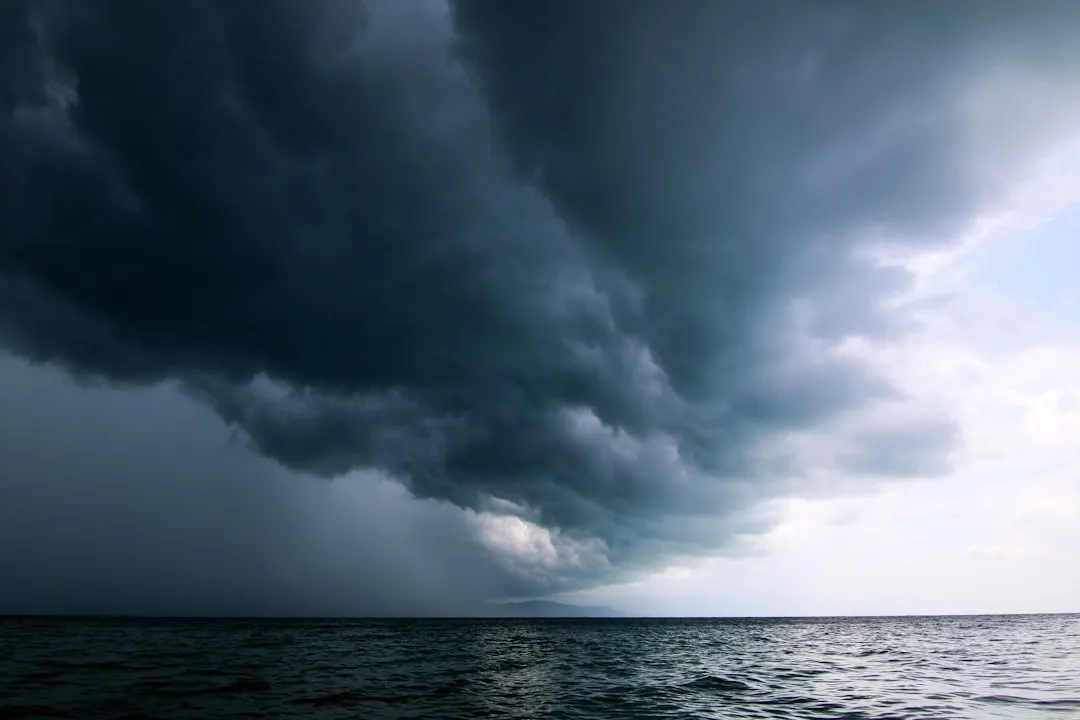
Buried beneath the super typhoon headlines is a quieter, deadlier disaster. Tropical Storm Maysak caused devastating flooding across Southern China that killed 171 people, 159 of them in Guangxi province alone. A storm that never even reached full typhoon strength did more damage in raw human cost than some of the stronger systems this season.
This is the uncomfortable truth insiders rarely say out loud: wind speed isn’t what kills most people in these systems. Rainfall totals and flash flooding are. Many experts now argue that flood-driven storms like Maysak deserve far more coverage than the flashier “super typhoon” headlines, because they’re consistently the deadlier threat to vulnerable communities.
#5 – Hawaii Took Its First Direct Hurricane Hit Since 1871
🔥 Would you like to save this?
We'll email this post to you, so you can come back to it later!
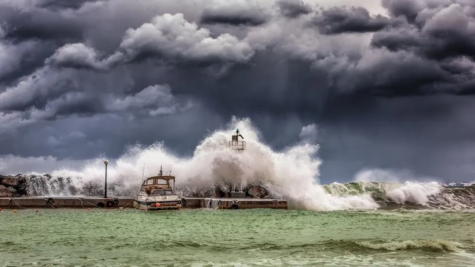
Cross the dateline into the Central Pacific, and the story gets even stranger. In August, Hurricane Lala became the first hurricane to directly strike the Big Island of Hawaii since 1871, while also becoming Hawaii’s third-wettest tropical cyclone on record. That’s a 155-year gap between direct hits, broken in a single season.
The eastern Pacific has been unusually active all year. On July 24, Hurricane Genevieve formed near Mexico’s coast and became the season’s first major hurricane, ultimately strengthening into the first Category 5 hurricane in the basin since Hurricane Kristy in 2024.
A direct Hawaii hit and a Category 5 in the same season is not a coincidence. It’s the fingerprint of the ocean’s warm phase pushing storm tracks into territory they rarely reach.
#6 – The Jet Stream Is Already Bending Toward Your Backyard
🔥 Would you like to save this?
We'll email this post to you, so you can come back to it later!
Here’s where the ocean stops being an “over there” problem. El Niño tends to peak in strength during winter, and its global impacts are usually most significant in the northern hemisphere then – because the jet stream over the north Pacific shifts southward, dragging the storm track over the southern tier of the U.S. That single shift changes rainfall, tornado risk, and temperatures for tens of millions of people.
Climate scientists describe it almost like plumbing. A Super El Niño typically triggers a far more aggressive jet stream shift, deepening the Pacific trough and strengthening the Canadian ridge, which together form an atmospheric highway across the United States.
That highway is the actual mechanism carrying Pacific heat and moisture straight into your regional forecast – and it’s already reshaping what your thermostat will look like this winter.
#7 – Your Winter Thermostat Bill Is About to Get Weird
🔥 Would you like to save this?
We'll email this post to you, so you can come back to it later!
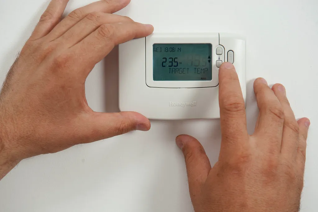
Forget generic “warmer winter” predictions – this month’s data got specific. The seasonal outlook shows increased odds of above-normal temperatures across much of the contiguous U.S., with the strongest signal over the Pacific Northwest and northern Rockies. If you live up north, your heating bill may actually shrink this winter.
But it’s not uniform, and that’s the part most forecasts gloss over. Well above-normal temperatures are expected across the Northern Plains, Upper Midwest, Great Lakes, and southern Canada – while an active subtropical jet stream keeps the southern U.S. cooler thanks to persistent cloud cover and rain.
A warm north and a cool, soggy south in the same winter is the exact opposite of what most people expect from a “hot” El Niño year.
#8 – California’s Rain Machine Is Already Loading Up
🔥 Would you like to save this?
We'll email this post to you, so you can come back to it later!
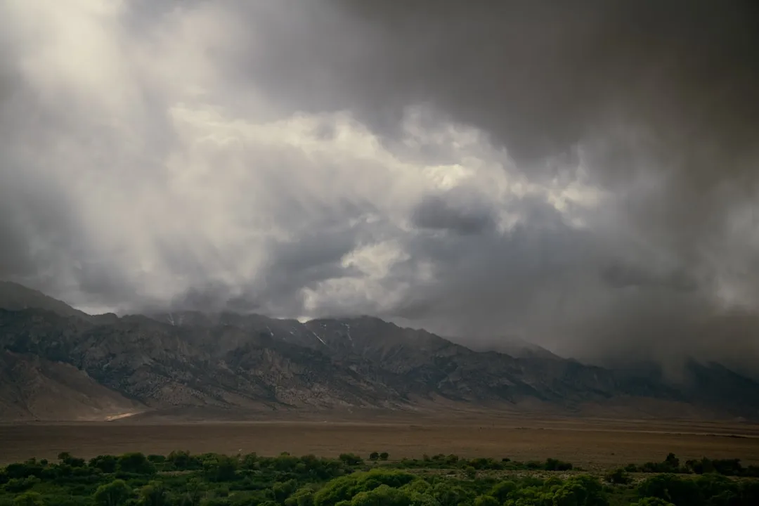
If you live in California, this is the section to bookmark. California is often the most closely watched state during major El Niño events, because a stronger Pacific jet stream can steer powerful winter storms straight into the region – raising the risk of heavy rainfall, flooding, and heavy Sierra Nevada snow. That’s the same mechanism behind California’s brutal atmospheric-river winters in past El Niño years.
At a Glance
- Stronger Pacific jet stream aims storms directly at California
- Above-normal precipitation forecast across much of the southern U.S.
- Good news for reservoirs, bad news for burn-scar hillsides
- Same setup fueled past El Niño atmospheric-river winters
Government forecasters are already leaning the same direction, predicting above-normal precipitation across much of the southern U.S. this fall and winter. That’s quietly good news for drought-starved reservoirs.
But the same storms that refill those reservoirs also trigger mudslides on burn scars – a trade-off most homeowners in the hills aren’t prepared for.
#9 – The Deep South’s Tornado and Flood Risk Just Climbed
🔥 Would you like to save this?
We'll email this post to you, so you can come back to it later!
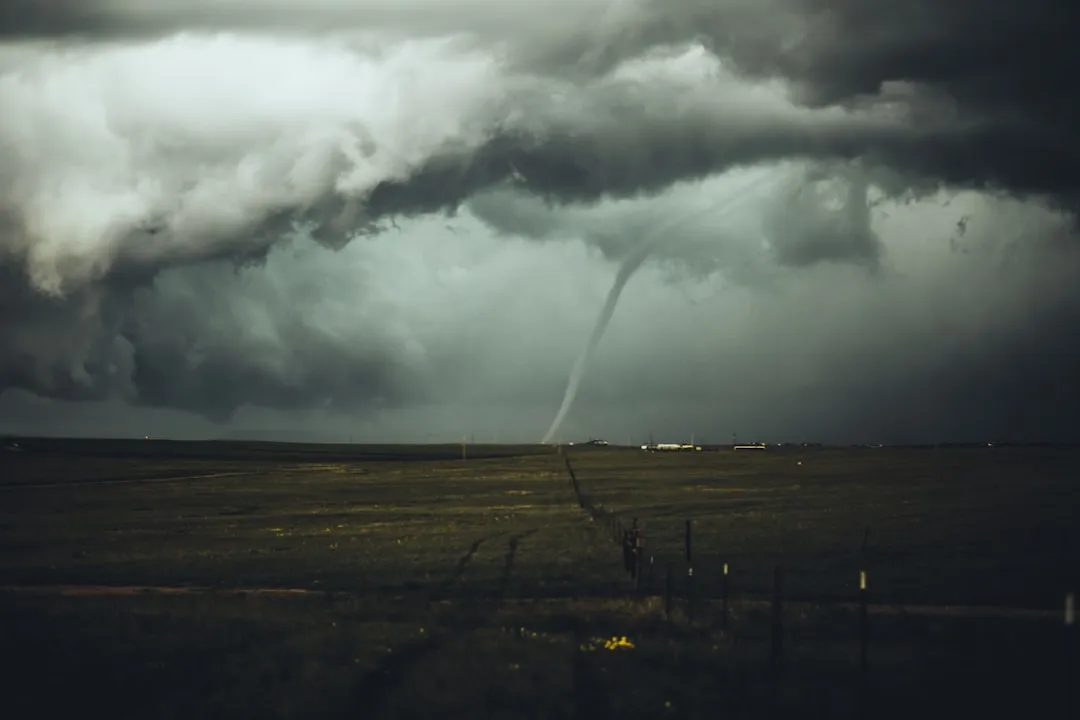
While California braces for rain, the Gulf Coast is bracing for something more violent. Forecasters expect increased flash flooding and river flooding risk, plus a higher probability of tornadoes, with the highest threat area running across the Deep South, the Gulf Coast, and into Florida. That’s a direct, named-region warning, not a vague seasonal outlook.
The mechanism behind it is well documented from past El Niño years. During El Niño, the jet stream tracks west to east across the southern U.S., making the region far more susceptible to severe weather outbreaks.
Turns out, the same warm Pacific water thousands of miles away is why Gulf Coast residents may see more severe weather alerts on their phones this winter.
#10 – New England’s Nor’easters Are Getting a Boost
🔥 Would you like to save this?
We'll email this post to you, so you can come back to it later!
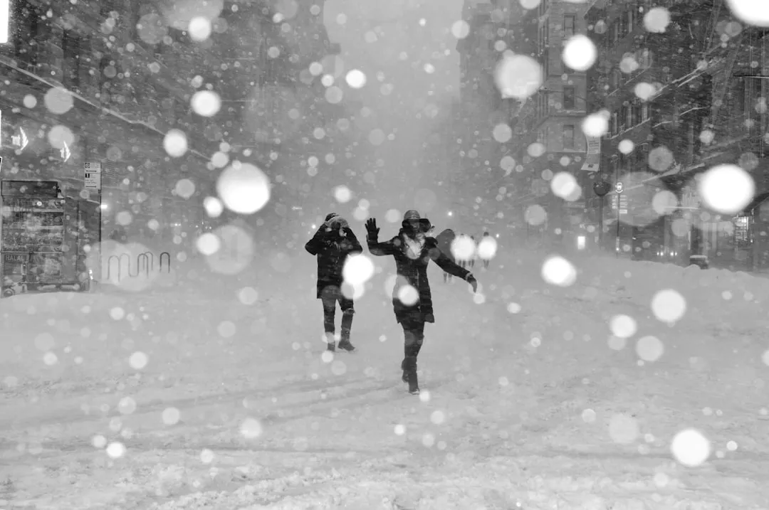
The Pacific’s influence doesn’t stop at the Mississippi River – it reaches all the way to the Atlantic coast. El Niño, paired with a negative Arctic Oscillation phase, is correlated with an increase in strong Nor’easters across New England. That’s a direct statistical link between a tropical ocean pattern and coastal snowstorms 8,000 miles away.
Most residents in Boston or Portland have no idea their snowiest, windiest storms are partly scripted by water temperatures near the equator. It finally explains why “random” brutal winters keep showing up in cycles rather than truly at random.
The ocean is the conductor. The coastal storms are just following the sheet music.
#11 – Northern Rockies and River Valleys Are Bracing for Dry
🔥 Would you like to save this?
We'll email this post to you, so you can come back to it later!
Not every region gets extra moisture from this pattern – some get squeezed dry instead. The same southward shift in the storm track leads to drier conditions over the Northern Rockies and the Ohio and Tennessee valleys. Wetter South, drier North-Central – that’s the direct trade-off.
This matters far beyond ski resorts and farms. Reduced mountain snowpack in the Northern Rockies affects summer river flow, irrigation, and wildfire risk the following year.
Many experts now argue this “wet winter, dry summer” whiplash tied to strong El Niño years is becoming a bigger long-term threat to Western water security than drought years themselves.
#12 – The Ocean Itself Is Cooking From Two Directions at Once
🔥 Would you like to save this?
We'll email this post to you, so you can come back to it later!
Before El Niño even fully formed, the Pacific was already running a fever. A marine heatwave had already pushed West Coast waters roughly 3 to 4 degrees Fahrenheit above normal, and on September 9, 2025, the northeast Pacific hit its highest average temperature on record. El Niño is now layering directly on top of that pre-existing spike.
Fast Facts
- West Coast waters ran 3-4°F above normal before El Niño even formed
- Sept 9, 2025: northeast Pacific logged its warmest average temperature on record
- NOAA now tracks two overlapping heatwaves – NEP25A and NEP26A
- El Niño’s warm water is stacking directly on top of both
NOAA’s own current assessment confirms the overlap: parts of the coastal region off central and southern California continue to be impacted by marine heatwave NEP25A, while a separate heatwave, NEP26A, has developed far offshore.
Two heatwaves stacking on one coastline is the kind of compound event scientists usually only discuss in worst-case models – and it doesn’t end there.
#13 – Your Coastline’s Stress Window Just Got Longer, Not Shorter
🔥 Would you like to save this?
We'll email this post to you, so you can come back to it later!
Here’s the part that should worry anyone near the water: this isn’t a temporary spike that fades quickly. Current forecasts put the odds of marine heatwaves off the California coast at 80 to 100 percent through the end of 2026, with lower but still elevated odds off Oregon and Washington. That’s not a warning about next week – that’s a warning about the rest of the year.
Researchers are blunt about why. El Niño-driven warm water is expected to reach coastal areas just as existing marine heatwaves fade, effectively lengthening the window of environmental stress on marine ecosystems and intensifying habitat compression.
That handoff – one heat event passing the baton to the next – is exactly the scenario fisheries scientists have been dreading for years.
#14 – Coral Reefs Are Bleaching on Both Sides of the Pacific at Once

🔥 Would you like to save this?
We'll email this post to you, so you can come back to it later!
This month’s ocean data revealed something that’s never been documented quite like this before. During the summer of 2024-2025, extensive marine heatwave conditions affected northern Australia, the west coast, the Great Australian Bight, and southern waters, contributing to coral bleaching in both the eastern and western reef systems at the same time – a first. Reefs thousands of miles apart bleaching simultaneously is a red flag most tourists never even notice.
Officials are already flagging 2026 as an even bigger risk, given the strengthening El Niño now developing.
Fish deaths and disrupted aquaculture aren’t abstract science-journal problems – these marine heatwaves cause widespread coral bleaching, fish die-offs, kelp forest mortality, and harmful algal blooms, meaning your seafood counter is downstream of this crisis.
#15 – Your Seafood and Coffee Prices Are About to Feel the Ripple
🔥 Would you like to save this?
We'll email this post to you, so you can come back to it later!
Warm-water disruptions to fisheries and aquaculture rarely stay contained to biology reports – they show up on receipts. When kelp forests die off and fish stocks shift location, supply chains built around predictable catch zones get thrown off, and that cost eventually lands on consumers. Layer on El Niño’s well-documented history of triggering drought in major growing regions, and price pressure builds from multiple directions at once.
South America is a textbook example of the ripple effect in action. In southern Chile and Argentina, currently in winter, weather patterns shift noticeably under El Niño’s influence.
It’s the same mechanism behind past coffee and cocoa price spikes – a warm Pacific thousands of miles from a coffee farm can still shrink a harvest and tighten global supply.
#16 – Even Your Flight Home Is About to Get Bumpier

🔥 Would you like to save this?
We'll email this post to you, so you can come back to it later!
Long before storms make landfall, they’re already reshaping the upper atmosphere – and airline passengers are the first to notice. Forecasters expect more turbulent flights over the United States this winter as a direct result of the strong El Niño. That’s not superstition; it’s a documented shift in jet stream turbulence patterns tied directly to this month’s Pacific transition.
Meteorologists connect it to the same mechanism driving everything else on this list: a faster, more amplified jet stream naturally produces more clear-air turbulence for anyone flying through it.
Most travelers have no idea their choppy flight home for the holidays is a downstream effect of ocean temperatures near the equator.
#17 – A Full Polar Vortex Collapse Is Now on the Table
🔥 Would you like to save this?
We'll email this post to you, so you can come back to it later!
This is the finding that should make everyone pay attention, because it’s the wildcard capable of overriding every other forecast on this list. An El Niño winter carries a higher chance of a polar vortex collapse event than a neutral or La Niña year does. A collapse doesn’t just tweak the forecast – it can flip an entire season’s temperature outlook in a matter of days.
Worth Knowing
- El Niño winters carry higher odds of a polar vortex collapse than neutral or La Niña years
- A weakened vortex loses its grip on polar air, opening a path south
- A collapse can flip a season’s temperature outlook within days
- It’s the single biggest reason “warmer winter” forecasts aren’t a guarantee
Forecasters are already tracking the mechanism closely. As a weak polar vortex breaks down, it creates a disrupted jet stream pattern and loses its ability to fully contain the cold polar air, giving that air an easier path down into the United States, Canada, and Europe.
Translation: even in a record-warm El Niño winter, a sudden Arctic outbreak is firmly on the table – and it’s the single biggest reason no one should treat “warmer winter” forecasts as a guarantee.
The Bottom Line
🔥 Would you like to save this?
We'll email this post to you, so you can come back to it later!
What started as a routine ocean temperature update has turned into one of the most consequential Pacific shifts in years. A confirmed Super El Niño, three super typhoons before September, Hawaii’s first direct hurricane strike since 1871, stacked marine heatwaves, and a jet stream already bending toward record winter extremes – these aren’t isolated events. They’re one interconnected system, and it’s already reaching your grocery bill, your flight home, and your winter thermostat.
The most surprising truth in all of it is this: a “warm winter” forecast doesn’t rule out a sudden Arctic blast. It may actually make one more likely. Did we miss a way it’s hitting your backyard? Drop it in the comments.

- 14 Wildlife Permits Waived for Americans the Year They Turn 62 - November 5, 2026
- Machu Picchu’s Engineering Feats Were Far Ahead of Its Time - November 5, 2026
- 12 Most Beautiful American Cities To See Before You Die - November 4, 2026